Les Saintes: March 17-22, 2010

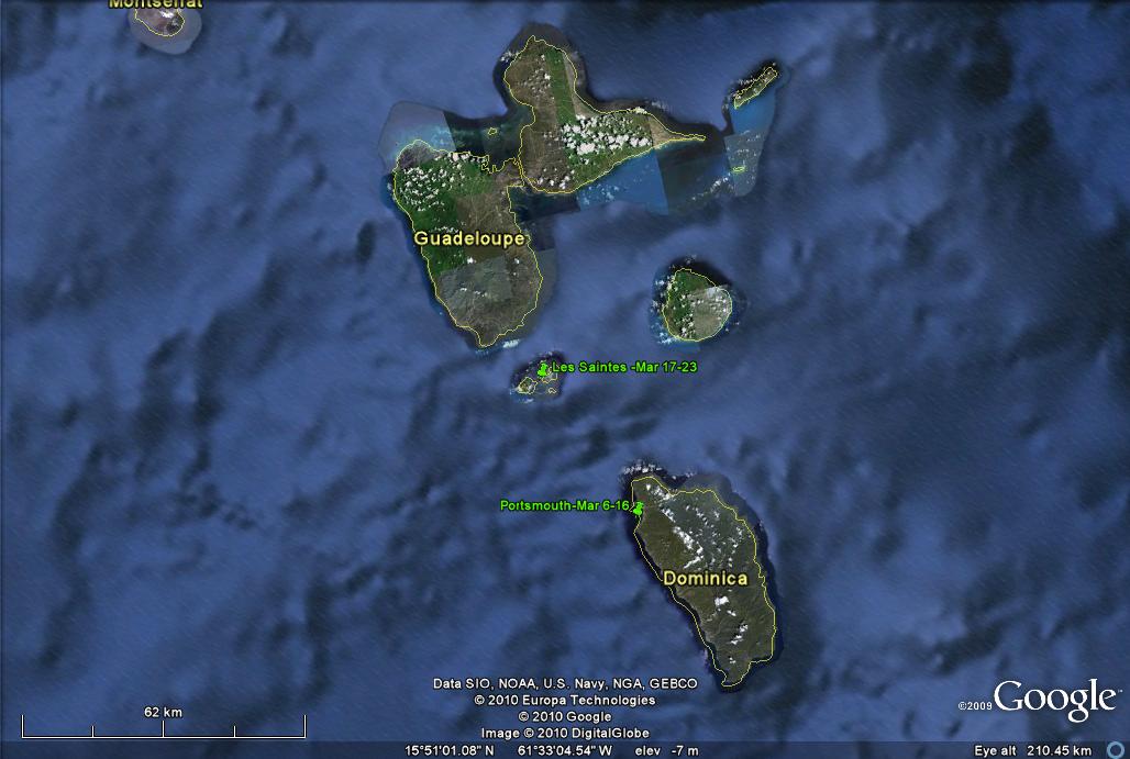
Click on the above thumbnail for a map during this time period
On March 17 we decided to take advantage of a nice weather
window and move on up to Iles des Saintes, the small but charming French
islands just south of Guadeloupe. The trip up from Portsmouth, Dominica,
is short; we arrived at Terre-de-Haut (the major island) in a scant 3
hours, and found an anchoring spot near the back of the pack in front of the
south ferry dock. That meant that the ferries, many of which for
some reason stop at both the east and the south dock, had an opportunity
(almost always taken) to wake us with frustrating frequency.
Cruisers come and go often at this anchorage, and soon we were able to move
further east when several boats vacated their spots. Later, when
another spot opened, we moved even closer to the shore side of the village of
Le Bourg. We took the short dinghy ride into Le Bourg
virtually every day during our visit. As we have noted before,
visits in 2007 and
2009,
Terre-de-Haut is a charming French island with few four-wheeled and
thousands of two-wheeled vehicles: scooters are the main mode of
transportation used by locals and tourists alike. We transported
ourselves by foot, however, visiting the small groceries and a bakery daily, and
of course, taking a number of walks. Concerning the latter, the
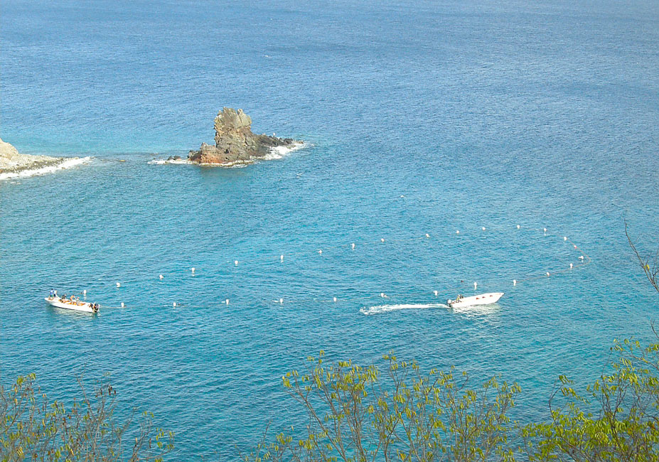
photos below will be indexed as follows: (A) will be used in
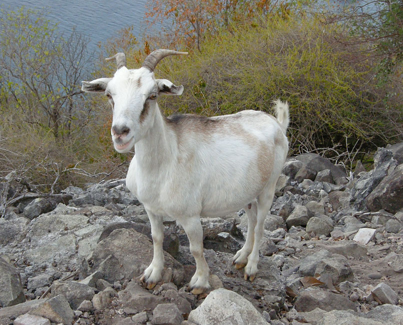
connection with Ilet a Cabrit, the small island northwest of
Terre-de-Haut that has a nice path up to the old Fort Josephine, and that
now hosts a gazillion of its namesake: small (they are French, after all)
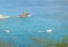
goats. As we were boarding our dinghy to return from the
island, Unicorn came racing back on their dinghy -- they had left before
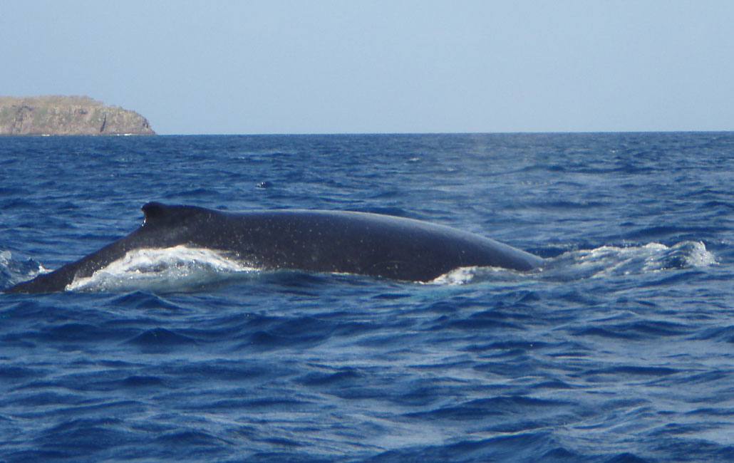
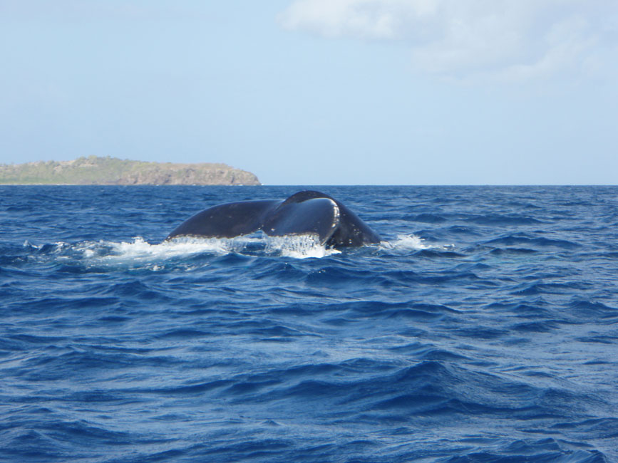
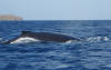
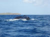
us -- to tell us that there was a whale out in the bay between the islands.
We went exploring and Devi, despite the choppy waters, managed to get on her
waterproof camera the shots (below) of two humpback whales. The water was
so clear that the white parts of their fins announced their positions by
flashing a brilliant blue just before they surfaced. (B) will label
the photos associated with the stone watchtower at Le Chameau (309 m)
accessed via a steep concrete road. (C) will label those taken
along the nice hike past Marigot, up onto Morne Morel, and on
through the old Fort Caroline and then down to the road that leads to Plage
de Pompierre. (D) was taken in the village itself.
|
|
|
|
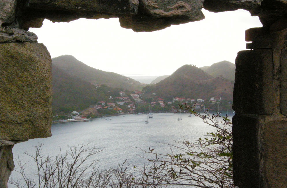
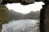
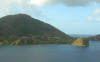
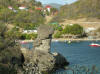
A: Le Bourg seen from a ruin at Fort Josephine on Ilet a Cabrit
|
|

|
|
A: One of a cast of thousands on Ilet a Cabrit
|
|
|
|
A: Fishermen gathering up a large net on the north side of Ilet a Cabrit
|
|
|
|
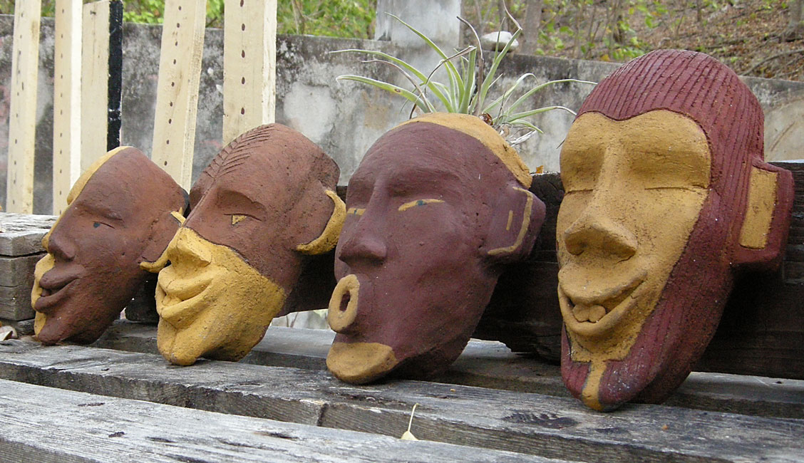
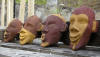
A: A local artisan produces these masks in a studio at the base of the track up to Fort Josephine
|
|
|
|
A: Characteristic "hump" of a Humpback whale -- and also the white on the underside (photo by Devi Sharp)
|
|
|
|
|
|
A: One microsecond later and this picture would show the white on the underside of the tail (photo by Devi Sharp)
|
|
|
|
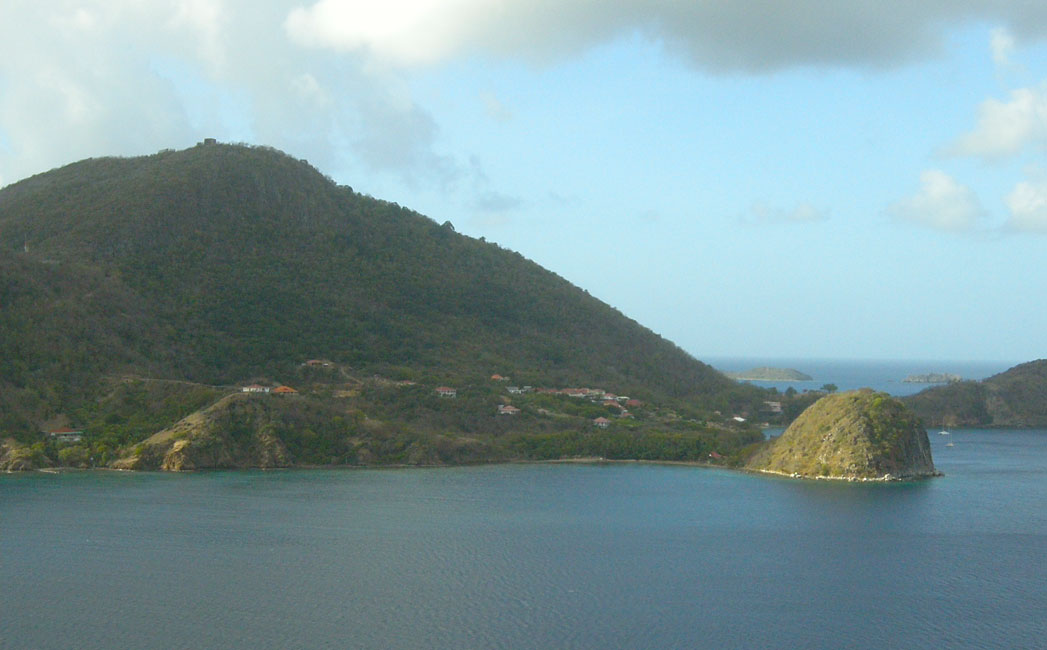
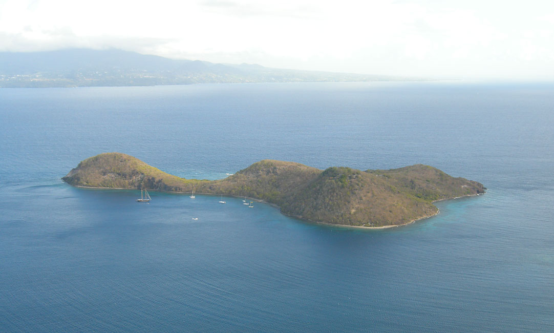
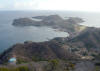
A: Tower on Le Chameau (top left) as seen from Ilet a Cabrit
|
|

|
|
B: Ilet a Cabrit seen from the top of the tower at Le Chameau
|
|
|
|
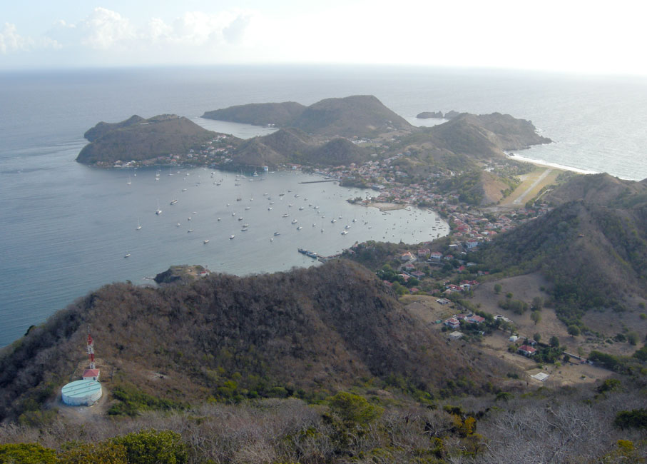
B: Le Bourg as seen from atop the tower at Le Chameau
|
|
|
|
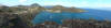
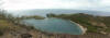
C: Panorama of Baie de Marigot
|
|
|
|
|
|
C: Barb and Devi seemed to find this stone structure fascinating
|
|
|
|
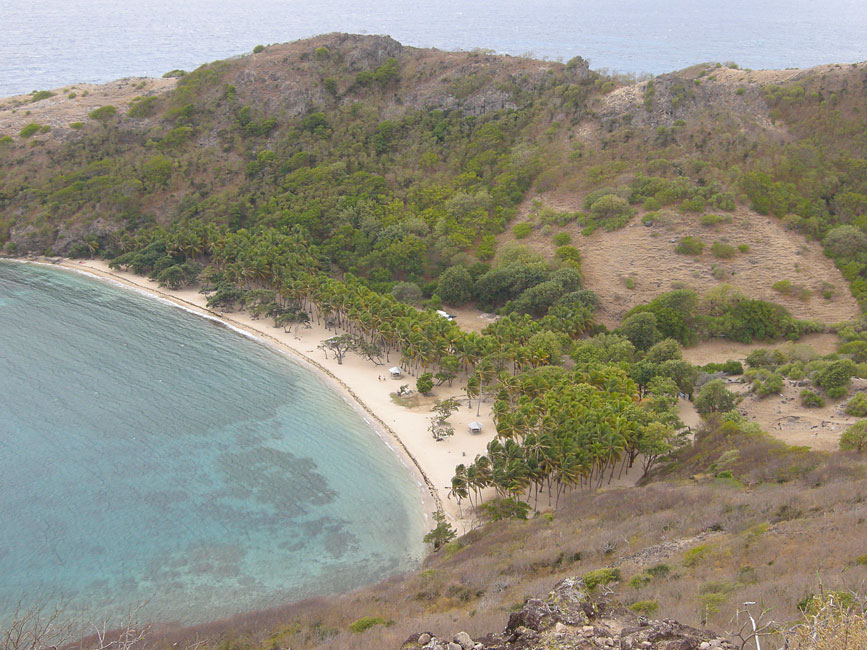
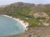
C: Panorama of Plage de Pompierre as seen from Fort Caroline
|
|
|
|
C: Closer look at the beach at Pompierre
|
|
|
|
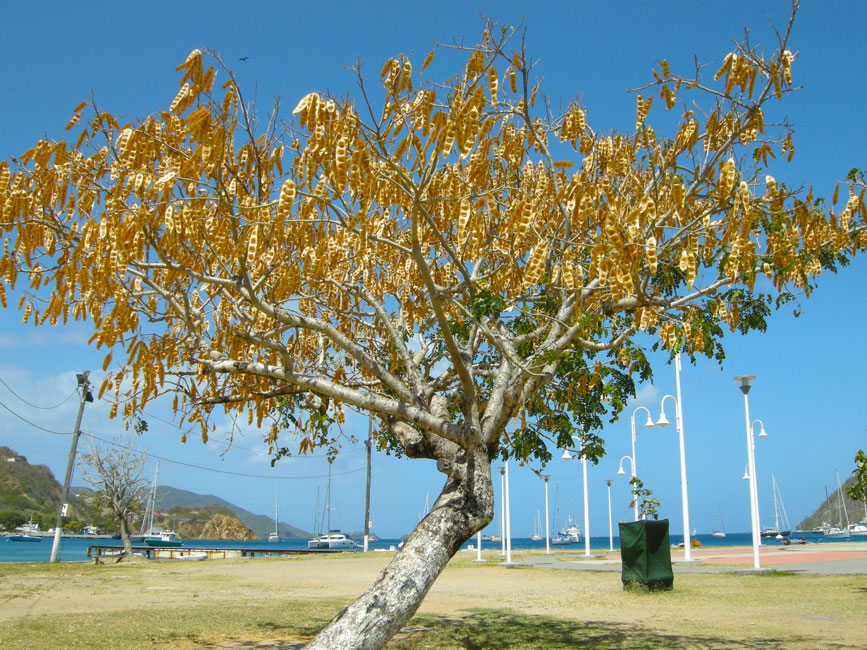
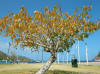
D: Tree that is filled with golden pods
|
|
|