St. Vincent and the Grenadines: May 21-June 2, 2008
Click on the above thumbnail for a map during this time period
On the way south from Rodney Bay, St. Lucia, we passed right by St. Vincent
proper and stopped at Admiralty Bay, Bequia. We had a number of
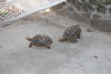
interesting experiences in Bequia, including a nice walk east past the Old Hegg
Turtle farm (click here for an
account of an earlier visit) where we found fewer turtles than last year.
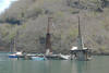
We had a dickens of a time anchoring in Admiralty Bay. On our
former visit, approximately a year earlier, the only wi-fi antennae capable of
broadcasting out into the anchorage was in the northeastern corner, and so that
was where we headed. There is a nice shallow plateau there that just
looks so tempting. We tried to set the anchor three times in three
slightly different spots before it finally held, only to be scolded by a nearby
sailboat who thought we were too close to him. Although I strongly
suspect he would have been ok with a mere sailboat, and that he was intimidated
by our size, and unaware of the size of our ground tackle, or of the diligent
effort I had put into backing off strongly to make sure that the anchor was
indeed set, it was indeed his call, and so we reluctantly moved again, just
barely managing to suppress the urge to say something ugly and nasty as we left.
Took several more attempts to get the anchor to hold in our newly chosen
spots, but we finally dug in. Later, over the next few days, we
watched at least a half-dozen sailboats attempt to anchor in our original
ill-fated spots. One notable instance, having failed to hold there,
finally "settled" in front of us just a little to starboard. Not
holding there either, they moved on out into the middle of the ferry passage!
When we got up in the morning, we discovered they had drug way out to the far
reaches of the bay. Several sailboats then took their dinghies out
and boarded the vessel to help them get their anchor set. The folks
weren't taking advice very well, and their helpers ultimately left in
frustration, stopping by our boat to do a little venting about the vessel's
incompetence and bull-headedness. Finally, one of the locals
convinced them that they should abandon anchoring, and they were shamefacedly
led up to take a mooring. You could almost hear the collective sigh of
relief from the anchorage.
Some of you may be interested to know how we check our anchor, in addition to
backing off with increasing rpm and watching to see if we are dragging.
One method is to don snorkel gear, and to swim out and look down on the anchor
and see if it is properly buried. The other method is to use a
"lookie bucket". They can be obtained at boating chandleries, but
most folks -- including us -- make their own. Cut the bottom out of a
five-gallon bucket, and glue in a sheet of lexan. Take the lookie bucket
out with the dinghy, and follow the anchor chain out from the boat to the anchor
-- looking down through the bucket through its submerged bottom.
Sound easy? You should try it when the wind is creating a chop on
the surface of the water, and the side of the bucket is splashing back into the
dinghy and the waves are threatening to tear the bucket from your hands.
And the wind is driving the dinghy off the intended path. And idle
speed is too fast. And spouse number one is yelling at spouse number two
about losing the chain, so that the dinghy must be taken back to the bow of the
boat to attempt once again to follow the chain to the anchor. My
recommendation: use the snorkel method. :-)
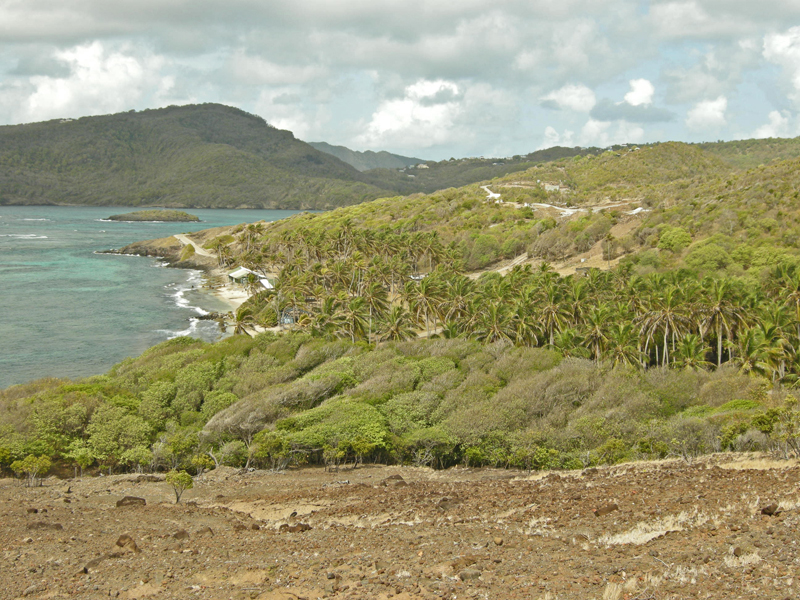
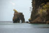
Walk Past Turtle Farm
I did a number of runs to the Old Hegg Turtle
Sanctuary east of the village of Port Elizabeth in Bequia, and Barb and I took
an extended walk one day well past the Sanctuary. The concrete road
eventually became just a trail. We gave out before the trail did.
|
|

|
|
Site of Old Hegg Turtle Sanctuary on beach in Bequia
|
|
|
|
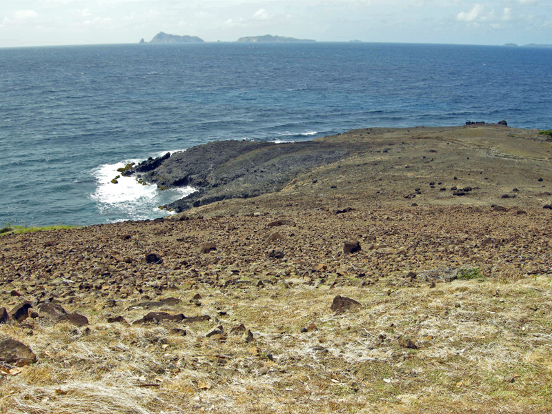
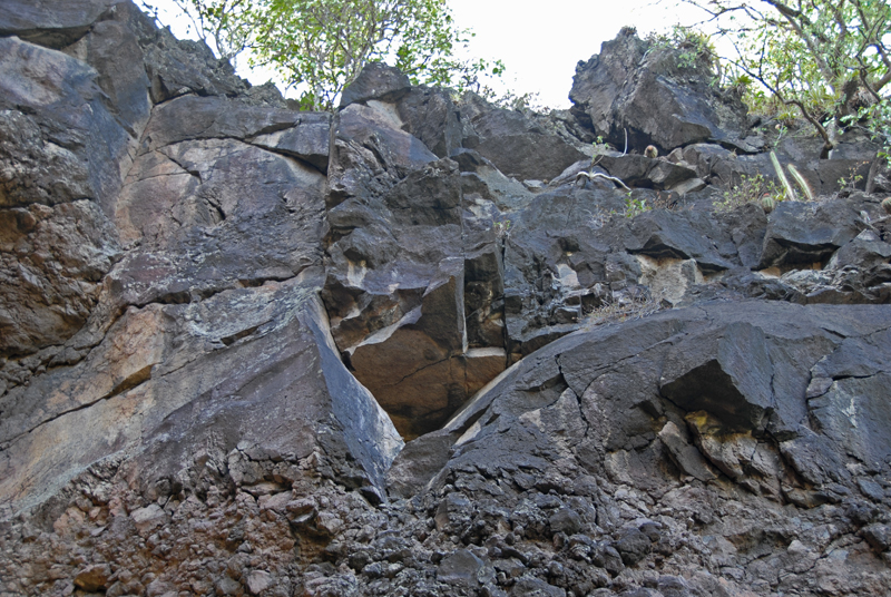
Lava run -- east of the Turtle Sanctuary
|
|
|
|
Possible sunken crater of volcano that created the lava flow
|
|
|
|
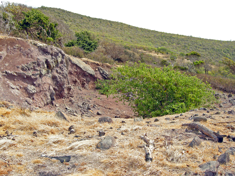
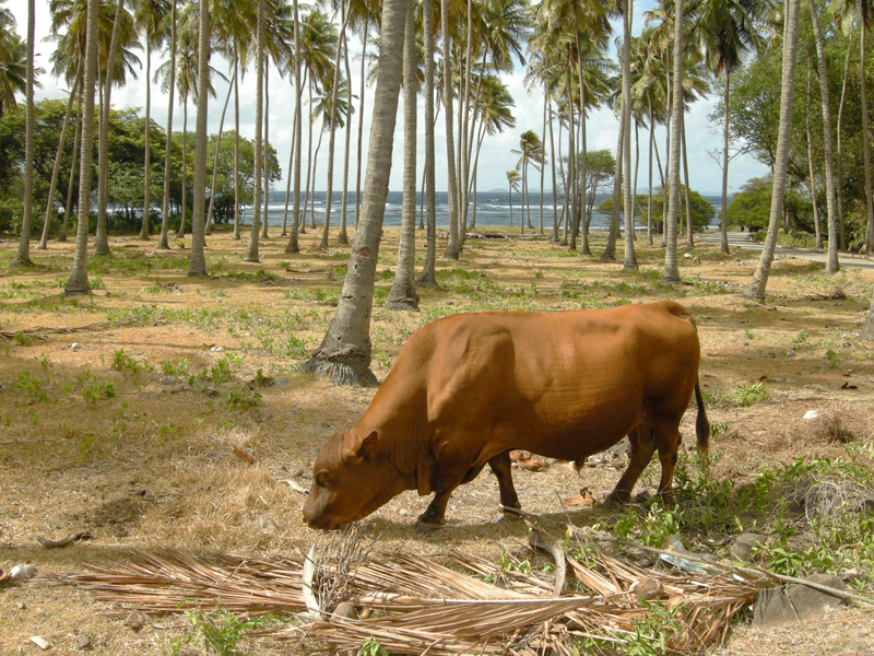
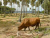
Healthy bull along the road near the Turtle Sanctuary
|
|
|
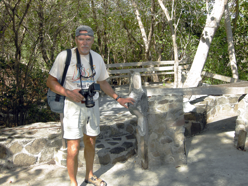
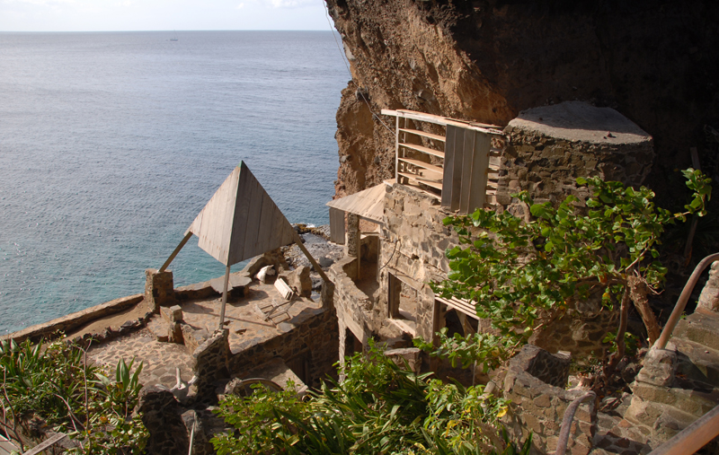
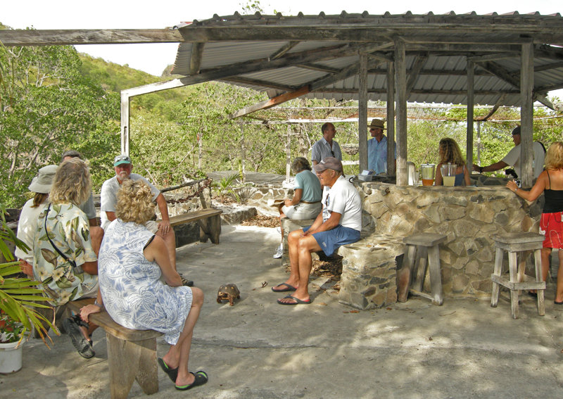
Moonhole
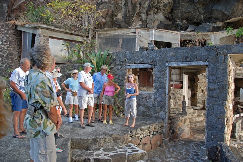
One of our cruising acquaintances was able to arrange for a tour of the
famous Moonhole homes. Built by Tom Johnson, they started as a
picnic site under a natural arch called Moonhole. Picnics evolved
into overnight camping, which required a little more shelter, and that evolved
into extended camping which involved yet more shelter, and soon Tom decided to
buy the site. That turned out to require that he purchase 35 acres.
So he did, and he then built a home under the arch. No running
water. No electricity. Everything of stone and concrete,
with no straight lines and lots of arches and lots of glassless windows with a
constant breeze. Soon guests were coming for extended visits,
and so the idea was proposed of building an additional house, with the same
philosophy, on some of the abundant property. And then another.
And then another. Until today, there are 19 units in the Moonhole
settlement, still without an external source of electricity. (A few
units have a battery bank, solar panels, and inverters, and are able to have a
few hours of 110 vac per day). All of the units are designed to merge into
the landscape and to be simple and pure. The original owners have now passed
on, and the inheritors are mostly still involved with more conventional lives,
and so most units are only occupied a few months of the year, as vacation homes.
But Tom's son Jim and Jim's lovely wife Sheena now live there as full-time
residents. They gave us our tour. The guide books describe Tom
as an architect, but Jim says that he was not. He was just an
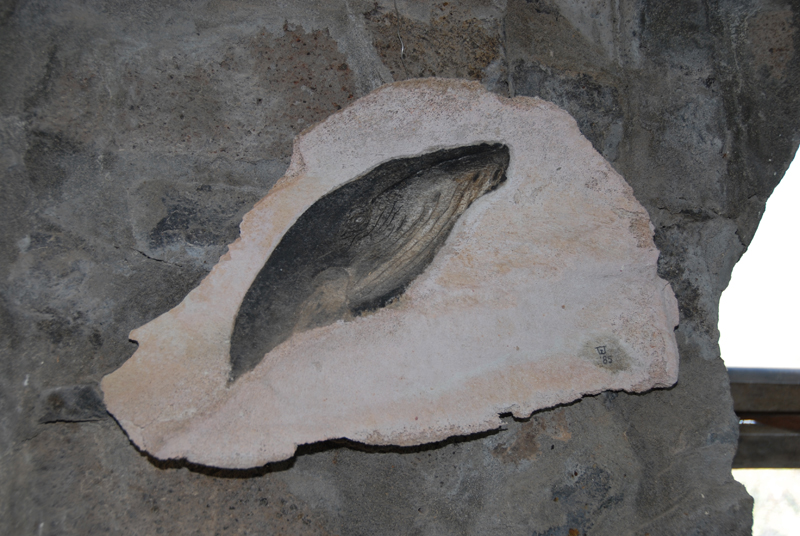
imaginative individual with a vision. An artistic individual as
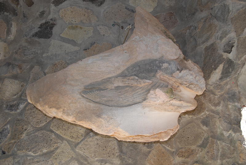
well, as is evidenced by all of the whale-oriented art in the Johnson's
residence that was created by Tom. Jim brags that all 19 units were
created without plans. Tom just worked with the construction crews
and spontaneously created the flowing forms. The local government
was so happy to have so much employment occur that they did not require the
filing of plans, etc. How much employment? Jim says
between 150 and 200 laborers at one point. That would have meant an incredible
financial boon for the local community.
When Jim was about 16, a large boulder broke loose from the arch and fell
onto an empty bed. That was the end of the occupancy of the original
moonhole unit. Tom's wife was glad to move; she had never felt
comfortable under the arch. They moved to a unit just adjacent to
the arch -- a lovely unit now occupied by Jim and Sheena.
|
|

|
|
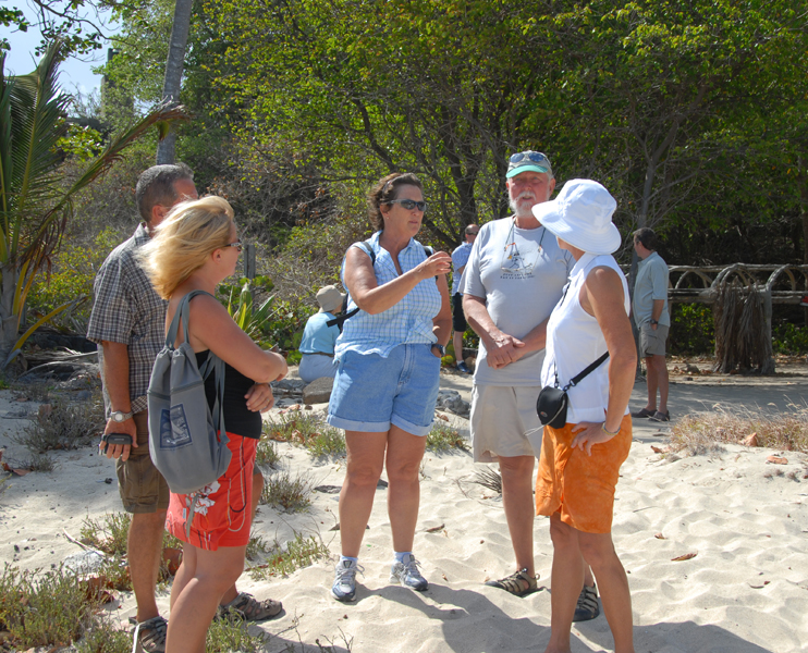
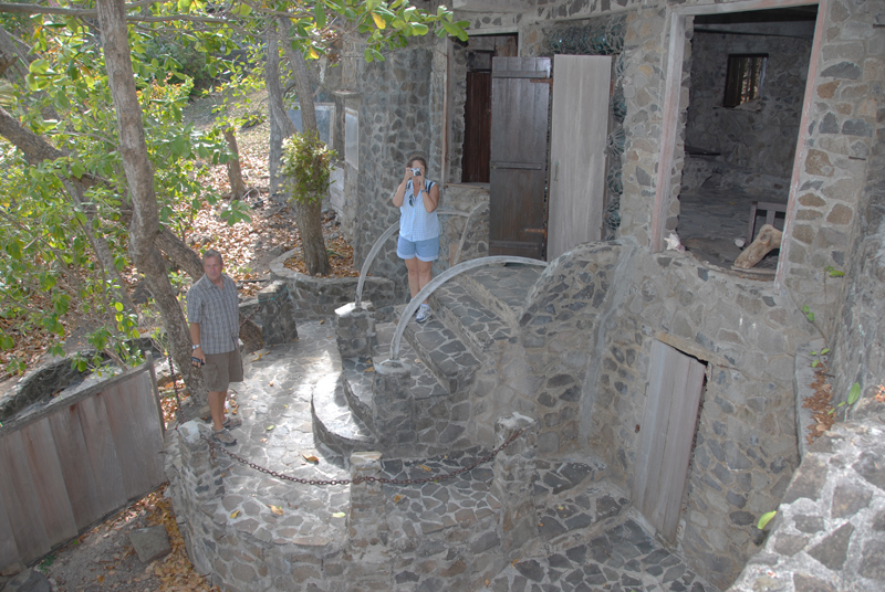
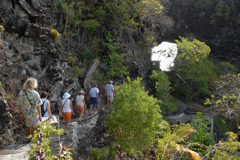
Waiting on the beach for all tour members to show up
|
|
|
|
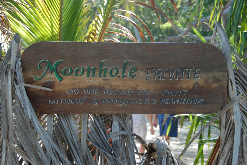
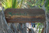
Sign on fence just outside moonhole
|
|

|
|
Under the arch that covers the gate through the fence protecting moonhole
|
|

|
|
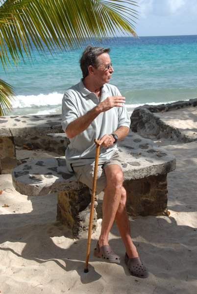
The current manager and son of the original developer: Jim Johnson
|
|

|
|
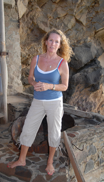
Jim's wife Sheena
|
|
|
|
|
|
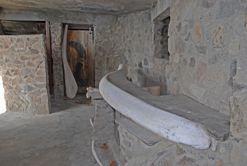
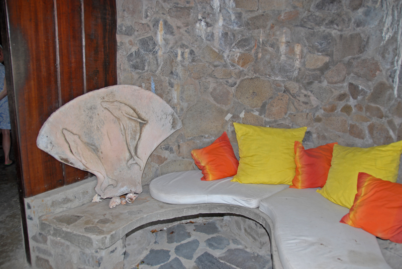
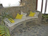
Whalebone rails on porch outside one of the units
|
|
|
|
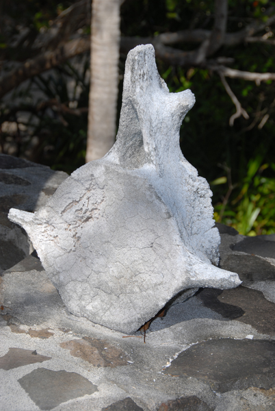
Whale bones are used extensively for decoration
|
|
|
|
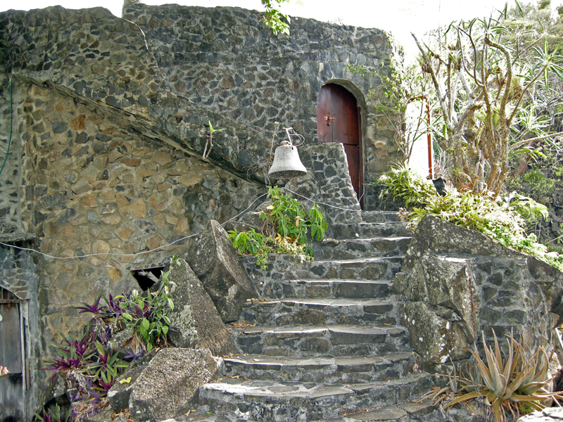
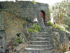
Stairs to another entrance to another unit
|
|

|
|
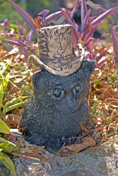
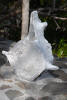
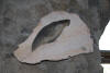
Creature along a path
|
|
|
|
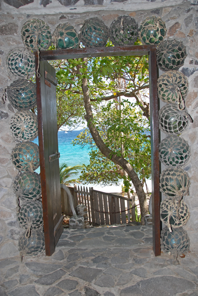
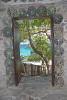
Salvalged float balls (washed ashore from overseas) used as decoration around a door
|
|
|
|
|
|
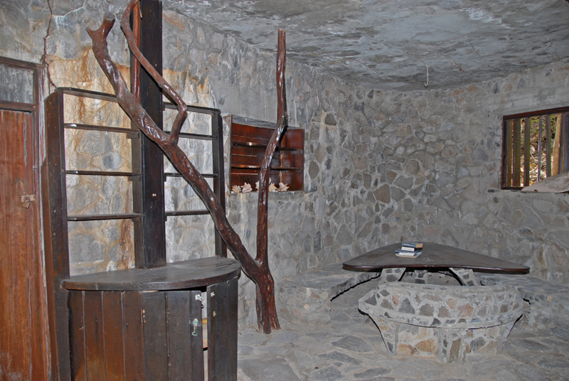
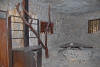
"Bare" unit currently without residents -- hence no warming cushions, etc.
|
|

|
|
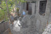
On the roof of one of the unoccupied units
|
|

|
|
Bar (with whalebone rail) in the unit used for conferences, parties, and entertaining guests
|
|
|
|
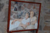
Artwork in Jim and Sheena's unit -- created by Jim's dad Tom
|
|
|
|
More ...
|
|
|
|

|
|
...artwork...
|
|
|
|
...by Tom
|
|
|
|
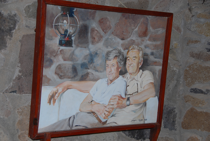
Tom and his wife -- now both deceased
|
|
|
|
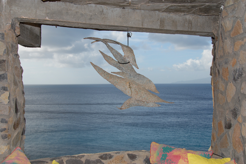
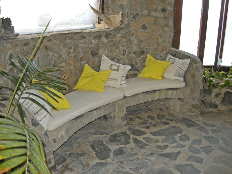
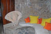
Cushions used to soften the room in one of the living rooms
|
|
|
|
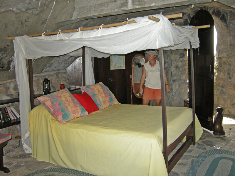
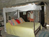
Jim and Sheena's bedroom
|
|
|
|
|
|
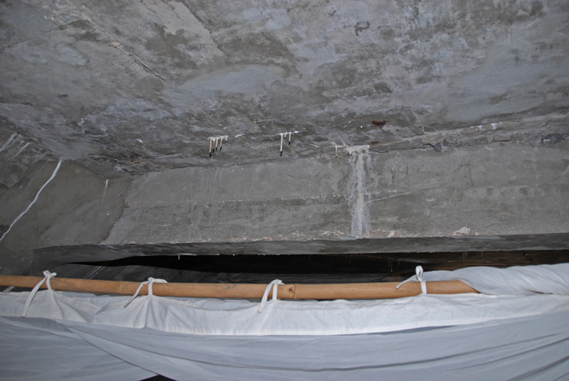
You can see the reason for the canapy!
|
|
|
|
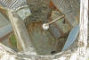
Looking down on an open-air shower
|
|
|
|
The top of the shower is open at the roof
|
|
|
|
Along the path to the unit under the moonhole arch
|
|

|
|
Looking down to a lounge area on left -- under the pyramid -- and Jim's former bedroom on the right
|
|
|
|
|
|
Sheena tells us about the original unit under the moonhole arch
|
|

|
|
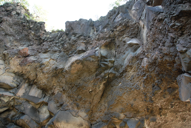
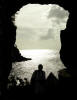
Looking up at the rock ceiling formed by the arch
|
|

|
|
The conspicuous triangle is where the large boulder dislodged and fell onto an unoccupied bed
|
|
|
|
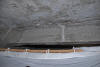
Up on the roof of the Johnson's unit ...
|
|
|
|
...we gathered for rum or lemonade after the tour
|
|
|
|

|
|
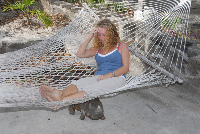
Hammock on a roof of Jim and Sheena's unit -- note the turtle: he gets under, stands on his tiptoes, and rocks Sheena!
|
|
|
|
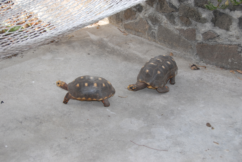
Hot pursuit!
|
|
|
|
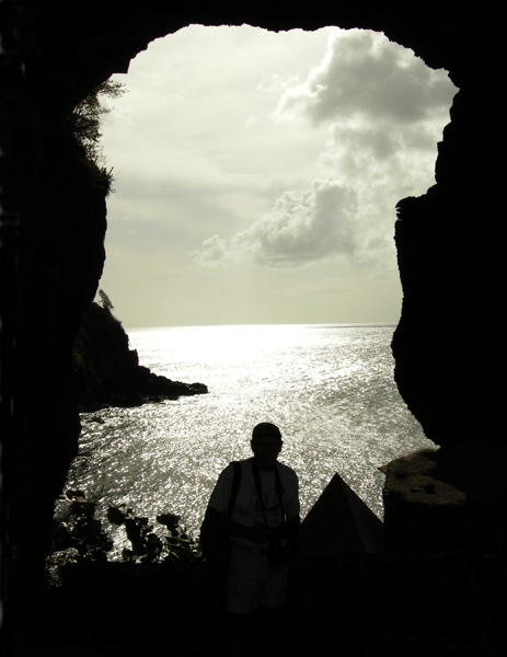
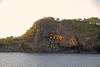
The arch is indeed dramatic
|
|
|
|
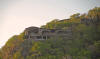
Moonhole in early morning light -- from the bay as we leave
|
|
|
|
Morning sun shining through the moonhole
|
|
|
|
|
|
Another of the enivronmentally-integreated units...
|
|

|
|
...and yet more on a ridge
|
|
|
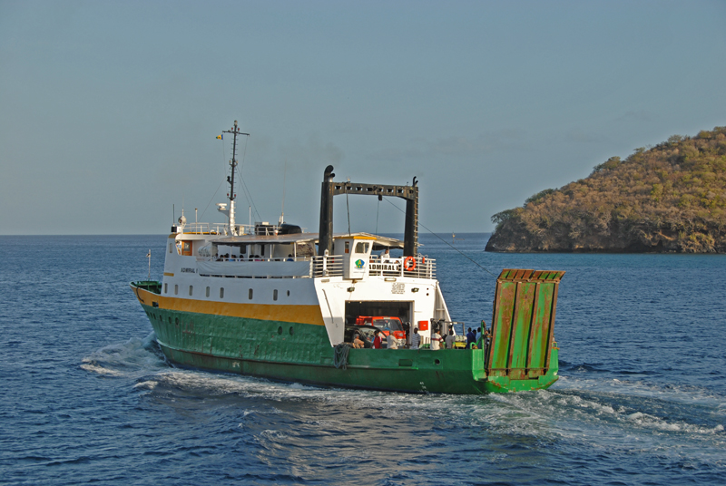
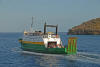
Ferry to St. Vincent
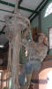
Early one morning Barb and I and Lin and Bruce (Alize) took a ferry
from Bequia to St. Vincent in order to spend the day touring the island (with
taxi-driver/guide "Cheeky"). The round-trip fare from Bequia to St. Vincent
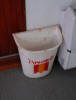
was EC$35 (about US$14). As soon as we boarded the ferry we realized
it had been purchased (used) from Norway -- the signs were in Norwegian and
English. Even the trash can had been retained! Alas, the
snack area was not selling vaffler -- or anything else.
|
|
|
|
We saw lots of these trash containers in Norway -- advertising a Norwegian icecream.
|
|

|
|
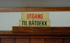
Why change perfectly understandable signs?
|
|
|
|
Or why change signs not-so-understandable? (It says: exit to boat deck)
|
|
|
|
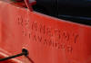
Noticed this on the side of a sister ship run by the same company.
|
|
|
|
A competing ferry leaves at exactly the same time and goes to exactly the same place. Strange.
|
|
|
St. Vincent Tour
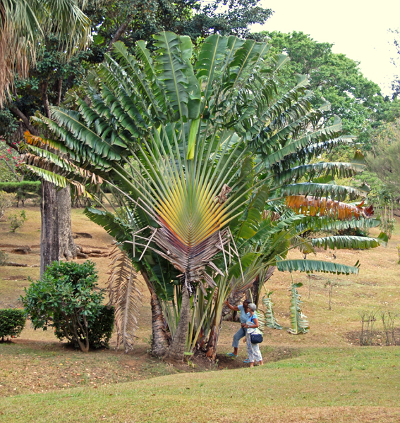
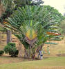
Botanical Gardens
We arrived at the Botanical Gardens so early that the regular guides --
fellows independent of the gardens who have versed themselves on the plants so
as to be able to give, for a fee, informative tours through the gardens -- had
not yet arrived. So a clerk in the office gave the tour, assuring us
that she had worked at the gardens for over twenty years. Maybe so.
But she could do little more than read to us the names that were affixed to/near
the plants. I am starting to feel about botanical gardens in the
Caribbean the same way I came to feel about churches in Europe:
enough is enough.
|
|

|
|
Our "make-do" guide, illustrating the seed pods of the "Rasta Plant"
|
|
|
|
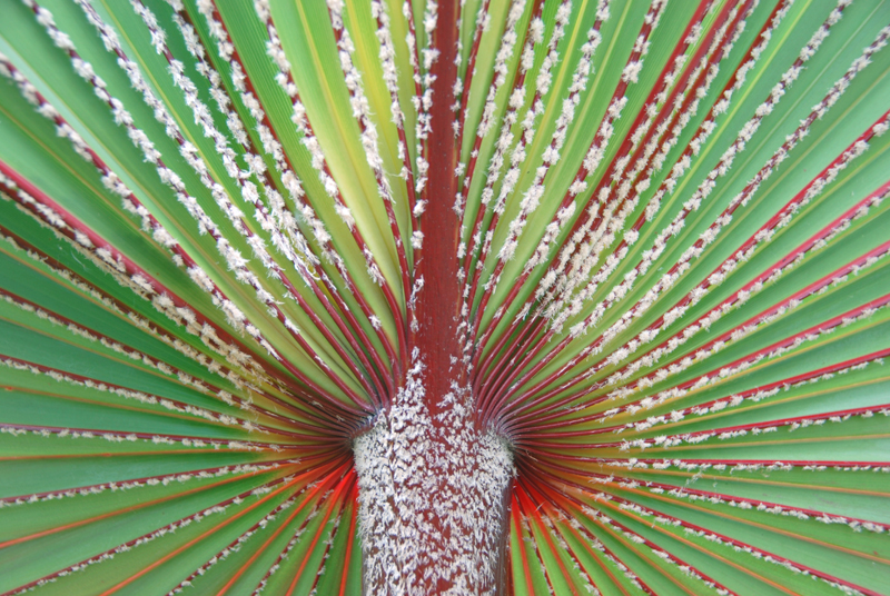
Water palm, so-called because its shape gathers water at its core.
|
|
|
|
|
|
|

|
|
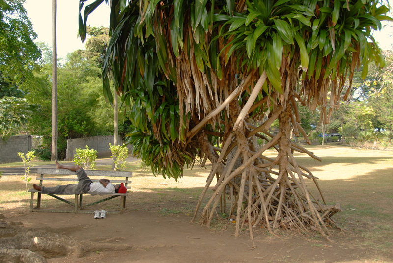
"walking tree" and sleeping "worker"
|
|

|
|
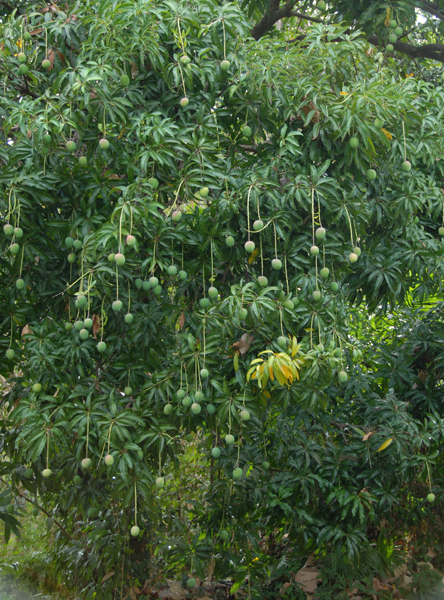
Mango tree
|
|
|
|
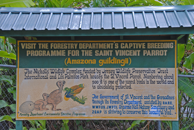
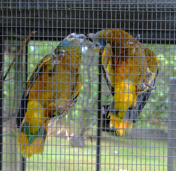
In a corner of the gardens is a captive breeding setup for St. Vincent's gravely endangered parrots
|
|
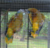
|
|
Hard to get a decent picture with the mesh fence in the way
|
|
|
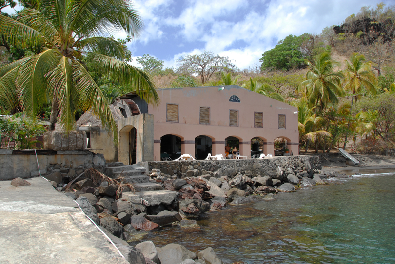
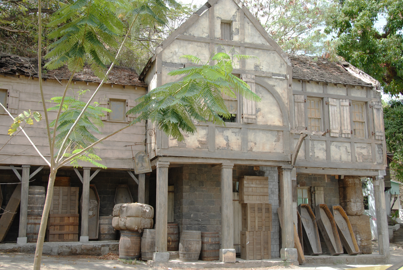
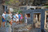
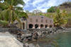
Wallilabou
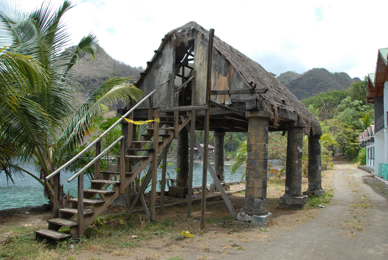
In 2003 this bay became famous as the main location for the movie "Pirates of
the Caribbean: The Curse of the Black Pearl" starring Johnny Depp. Many
parts of the structures are still standing. The adjacent restaurant
was remodeled for the movie, and is still operating.
|
|
|
|
The still-operating restaurant
|
|
|
|
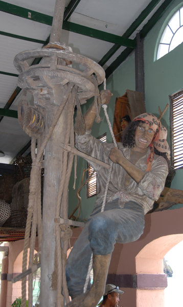
Restaurant now houses the mast used in the movie.
|
|

|
|
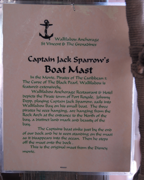
This sign explains the significance of the mast
|
|

|
|
The blacksmith shop
|
|
|
|
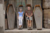
Bunches of caskets from the movie
|
|
|
|
|
|
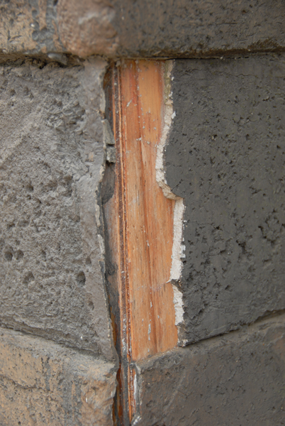
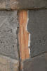
The "stone" buildings" are fake -- look how thin the veneer is
|
|
|
|
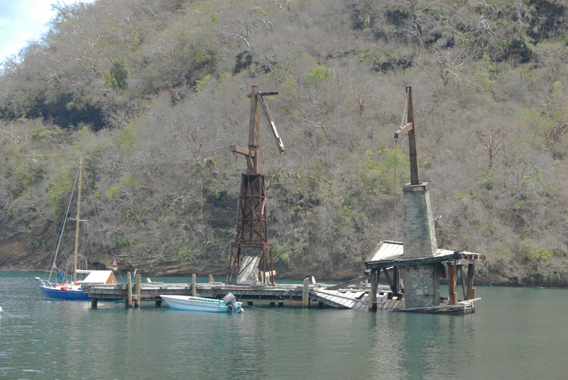
Dock structures in the movie are now crumbling
|
|
|
|
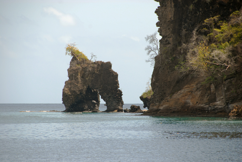
Arch on the north end of the bay that also was in the movie
|
|
|
|
Upper story is fake. False front on a prior building below.
|
|
|
|
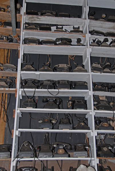
The current owner is collecting old phones for some project, and is storing them in the building behind the "stone" facade
|
|
|
Other sites and experiences on the tour
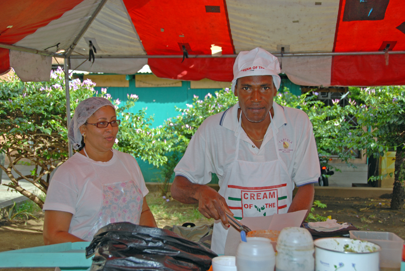
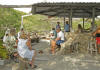
No sooner had we gotten off the ferry in Kingstown than we took Steve and
Ann's (Receta) advice and went searching for DNA, the stand at
Market Square that features Trini-style doubles, which we learned to
dearly love and appreciate during our extended stay in Trinidad.
David and Nichole, natives of Trinidad, remembered Steve and Ann, and were
delighted to get our greetings from them. And the doubles were some
of the best we have ever had. What a breakfast!
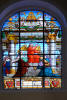
Before we left Kingstown we popped in to see the famous stained glass window
in St. George's Anglican Cathedral, which was built around 1820. The
window was originally commissioned by Queen Victoria to honor her first
grandson. But when she saw the result, she declared that angels
should be in white, not red, and so the piece was placed in storage in St.
Paul's Cathedral in London, were it remained until the 1930's when it was
brought to St. Vincent as a gift to the bishop and the diocese of St. Vincent.
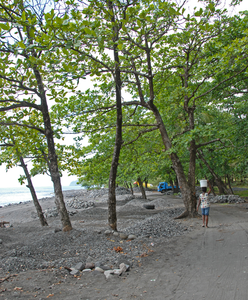
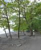
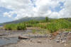
The island of St. Vincent is wild and mountainous. There are no
roads across the interior, and the roads along the edge do not even
circumnavigate the island. There are few white-sand beaches, but
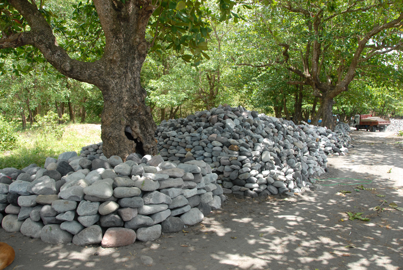
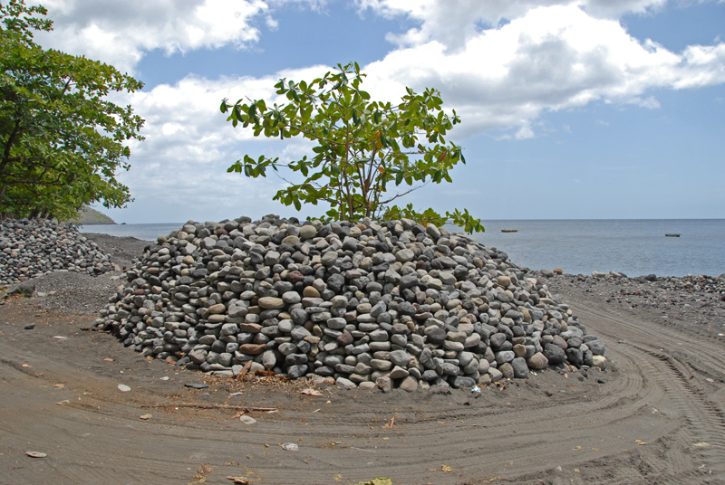
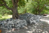
there are some gorgeous black (volcanic) beaches. We toured up the west
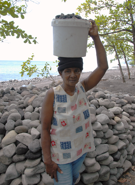
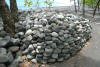
side, and stopped when the road did, at a very interesting instance of local
entrepreneurs. Squatters have taken over a particularly rocky beach
area, and are busy collecting, sorting by size, and piling rocks up away from
the beach along the road for resale along a stretch that must run for at least a
half-mile. The piles ranged from large rocks (bigger than a bread basket)
to pea-sized to black sand. I asked Cheeky if they owned the land.
"No", he said, "the land belongs to the government." "What prevents
the government from expelling the collectors?" I asked. "In St.
Vincent, the government belongs to the people", he said. "Our
representatives understand the situation when they are elected, and they would
not get re-elected if they forgot."
|
|

|
|
David and Nicole, at their Trini-style lunch stand
|
|
|
|
Queen Victoria's rejected angel in red.
|
|
|
|
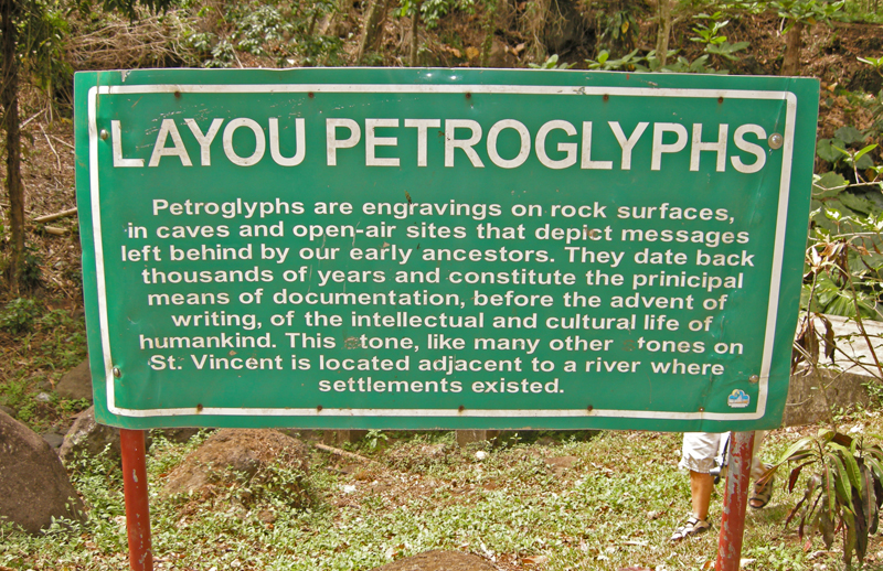
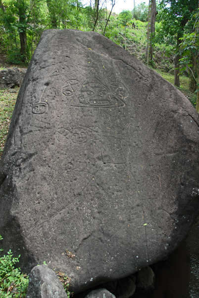
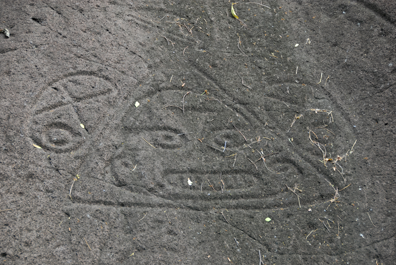
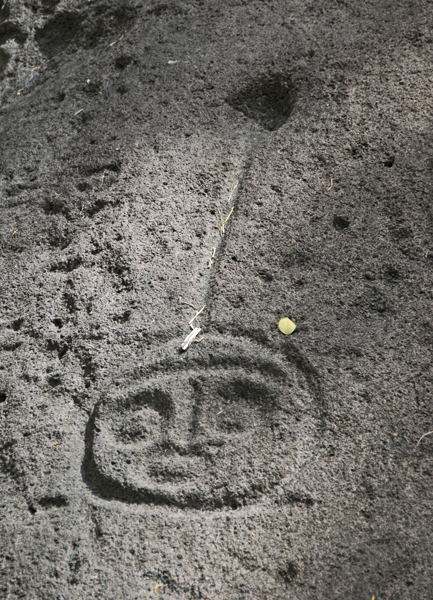
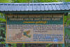
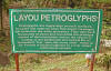
Sign at the site of the Layou Petroglyphs
|
|
|
|
|
|
|

|
|
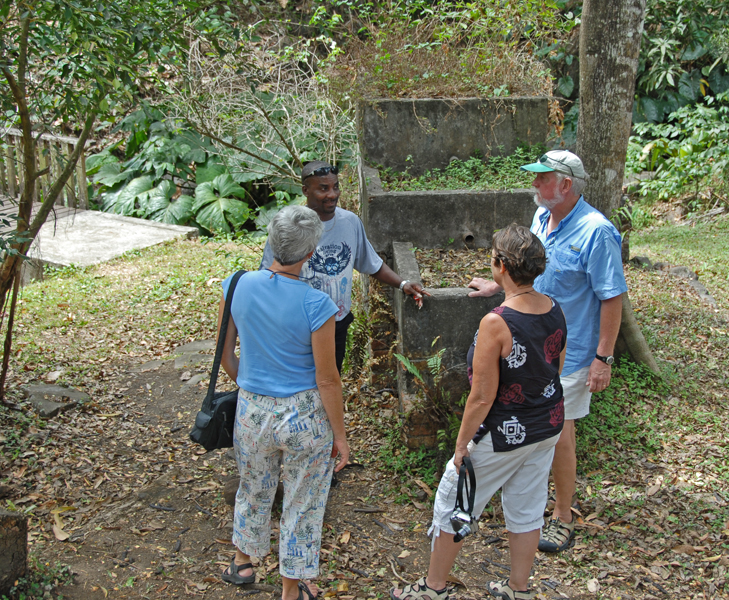
Puzzling (modern) concrete structure at the petroglyph site
|
|

|
|
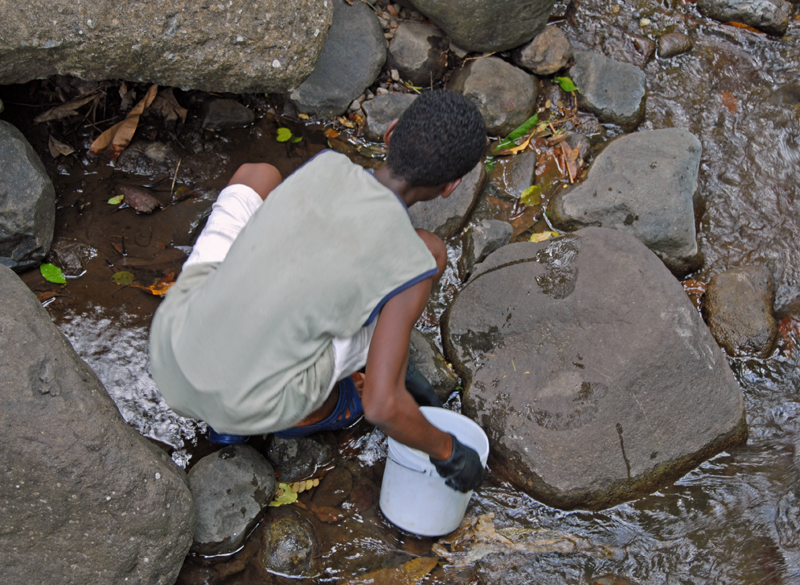
Young boy looking under rocks for (edible) fresh-water crawfish
|
|
|
|
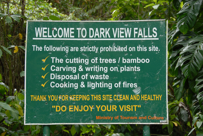
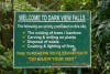
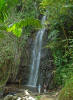
Sign at the Darkview Falls
|
|
|
|
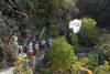
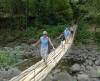
Suspension bridge over to Darkview Falls
|
|
|
|
|
|
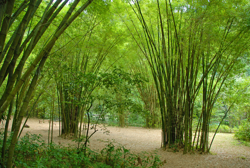
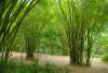
Nice picnic area under bamboo at Darkview Falls
|
|
|
|
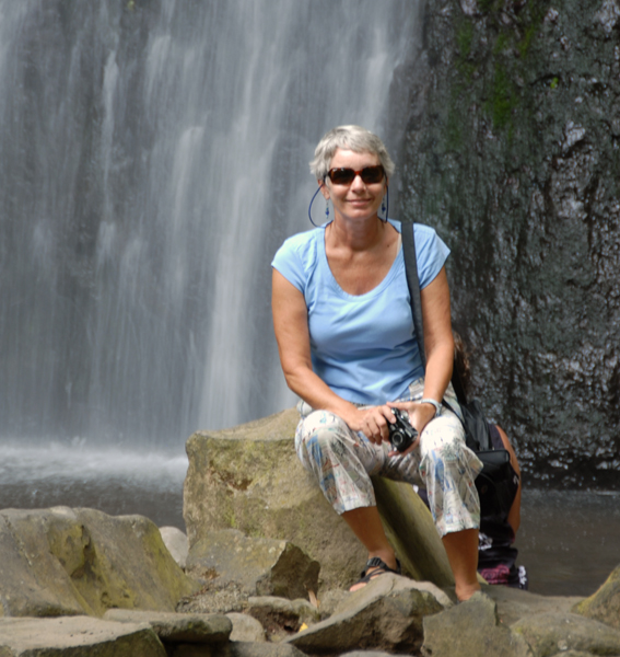
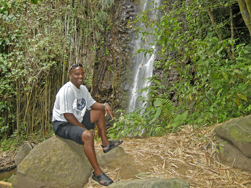
Barb and Lin at the base of the falls
|
|

|
|
Relaxing location
|
|

|
|
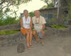
Guide "Cheeky" chilling
|
|

|
|
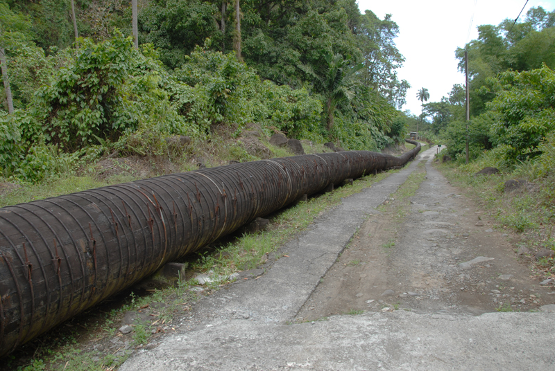
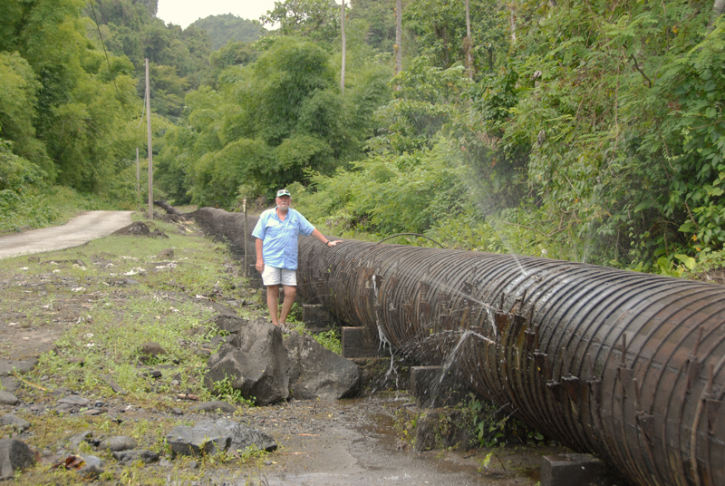
Wooden pipeline that delivers water from a high river to a power plant down by the sea
|
|
|
|

|
|
Of course, wood can spring a leak or two.
|
|

|
|
She sorts rocks down at the shore, puts them in the bucket, and takes them to the appropriate pile (based on size)
|
|
|
|
On her way to the correct rock pile.
|
|
|
|
Rocks for sale!
|
|
|
|
Rocks and more rocks!
|
|
|
|
|
|
And more rocks!
|
|
|
|
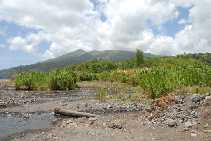
A view of the cloud-obscured Soufriere volcano, over 4000' high, which last erupted in 1979
|
|
|