Puerto Rico and Spanish Virgin Islands; Feb 16-Mar 7, 2012
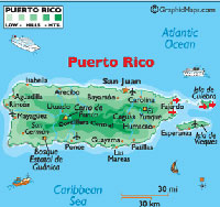
Click on the above thumbnail for a map during this time period
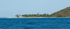
Spanish Virgin Islands
Lying to the east of Puerto Rico, the Spanish Virgin Islands
consist of four areas: Isla Palominos (the closest to Puerto Rico), the
islands and reefs of La Cordillera (stretching from north of Isla Palominos to
Culebra), the islands of Culebra, and the island of Vieques. Besides being destinations for cruisers, the areas and their
beaches are favorite playgrounds of locals who arrive by private boat or ferry
from the mainland of Puerto Rico.
Culebra
On Feb. 16 we departed Francis Bay, St. John, and motored
downwind the 34 nm to Culebra, where we reconnoitered in anticipation of the
imminent soon visit by Norwegian friends Lars Helge and Tove.
We had spent time at Culebra on our way down to the eastern
Caribbean in 2007, and had pleasant memories. It is small and modest, with
an area of just 7 by 3 miles and a permanent population of a scant 2,000.
Some 2,000 acres were used for bombing exercises by the US Navy from 1935 until
1975, when protests by locals finally resulted in moving the exercises to
Vieques. (Similar protests eventually carried the day in Vieques:
the US Navy ceased bombing there in 2003.)
We noticed some changes In Culebra since 2007, with the only
town of Dewey looking a bit shabby and the concession area at its best beach
much improved.
|
|

|
|
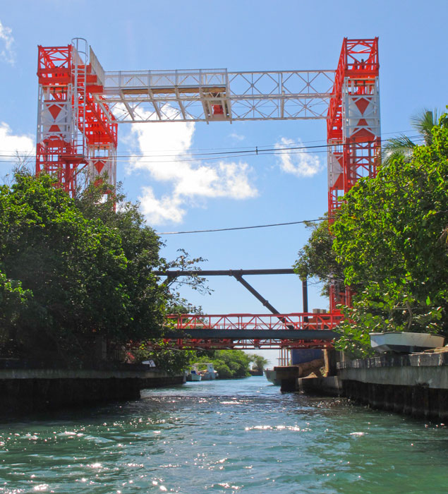
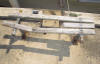
"Famous" bridge on Culebra
|
|

|
|
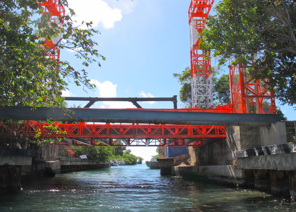
Solid evidence that the bridge no longer rises
|
|
|
|
Broken cleat and former base for a lamp on the town dock
|
|
|
|
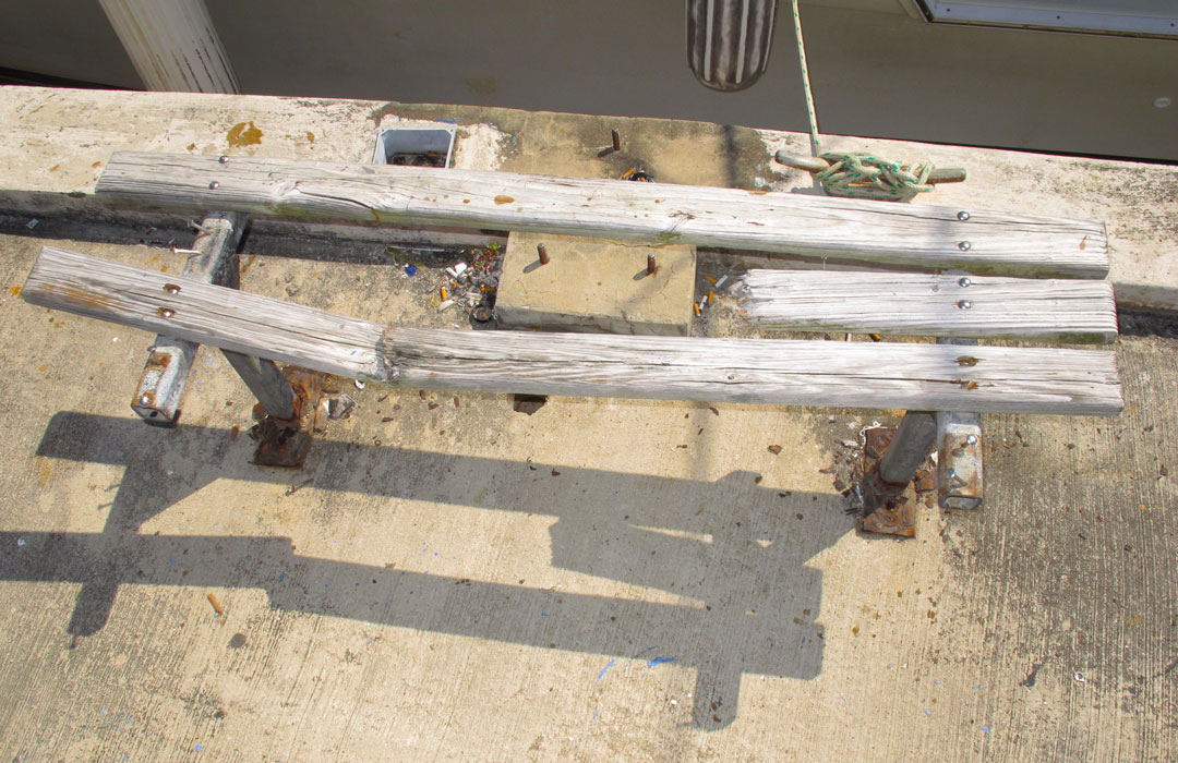
Bench in ill repair at the town dock
|
|
|
|
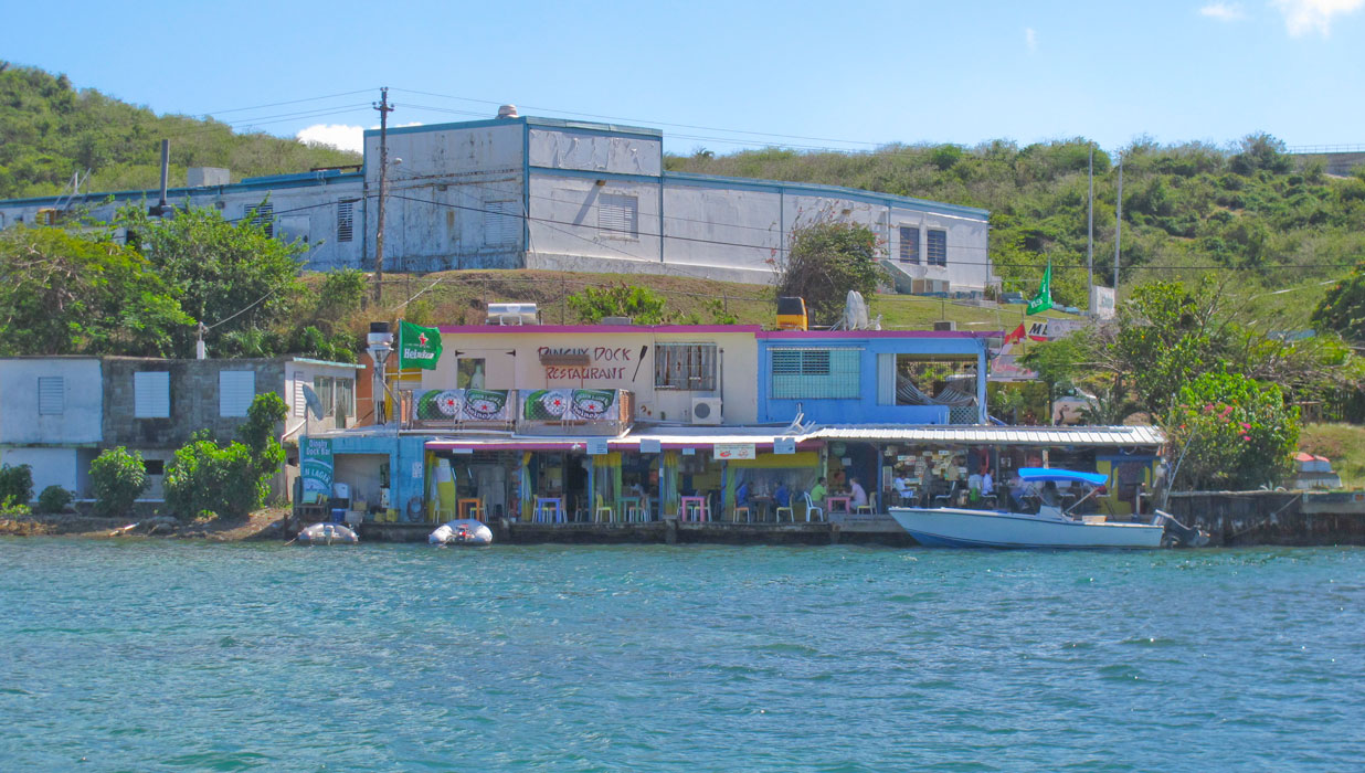
One of the hanging-out spots for cruisers: the "Dinghy Dock Restaurant"
|
|
|
|
|
|
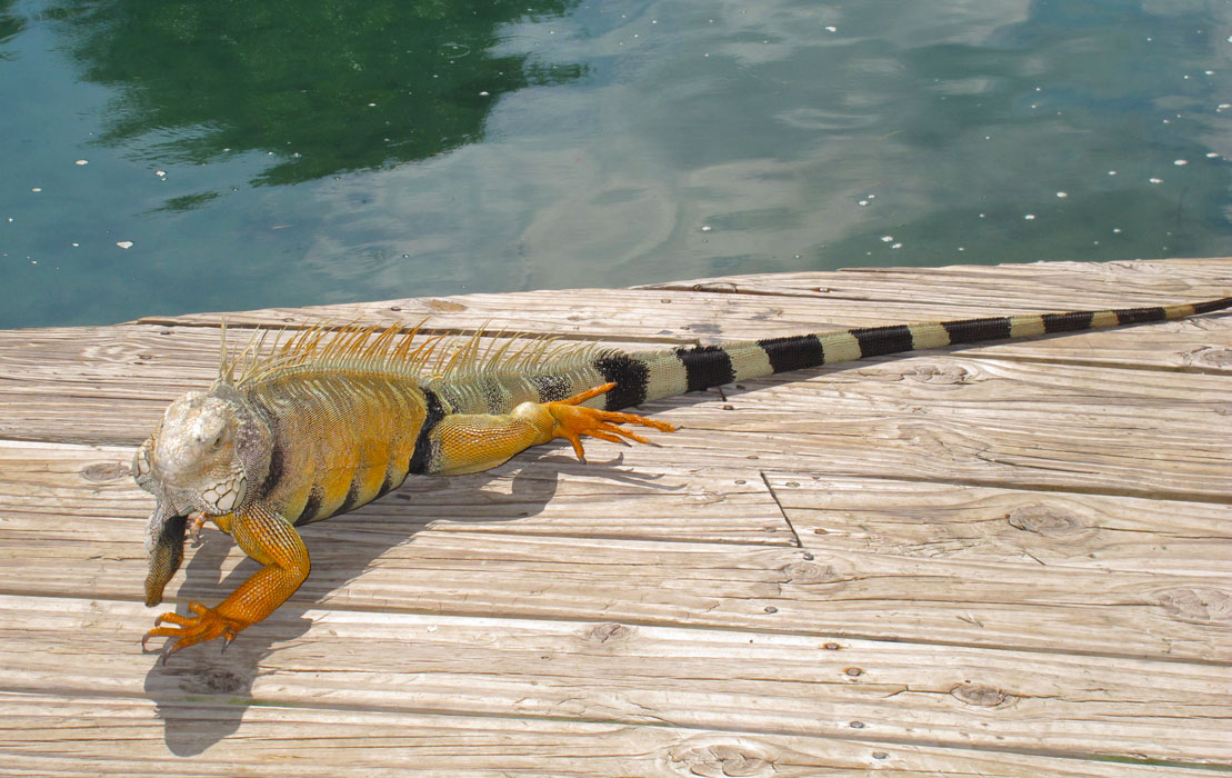
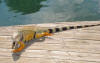
This iguana joined us for lunch at another famous spot: Mamacita's Restaurant
|
|

|
|
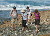
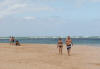
We walked to Melones Beach, one of the beaches nearest the town of Dewey
|
|
|
Puerto Rico
On Feb. 20 we cruised the 24 nm from Culebra to Cayo Obispo, a
tiny island just 1/2 nm off Puerto Rico that is dominated by a huge set of
condos and a small seedy marina (Isletta Marina) and not much else, there being no additional
acreage. The condo sponsors a regular ferry (every 15 minutes) to the mainland, however, so for a
nominal fee Barb was able to get to shore to do some grocery shopping. On
the way to Obispo, we altered course slightly and passed near Isla de Palominos,
a private island we later learned is leased by El Conquistador, a huge resort on
mainland Puerto Rico which lacks a beach and therefore runs regular ferries to
take its guests to the beaches of Palominos. We noted (and later used) the
moorings to the west of the island. Non-resort visitors have access to the
island from the ferry dock northwards along the western shore, but the beaches
south of the dock are restricted, including the nude beach on the eastern side
of the island.
|
|
|
|
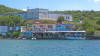
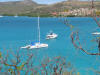
Cayo Obispo
|
|
|
|
Isla de Palominos
|
|
|
Friends Arrive
On Feb. 24 we moved south a bit from Cayo Obispo to the Puerto Del Rey Marina,
the largest marina in the Caribbean with 1,000 slips. The place is so huge
that when one wants to get to the Marina office or points beyond, one calls on
VHF and a golf cart promptly arrives to provide a complementary ride. We
rented a car immediately, and used it that night to drive to San Juan to pick up
Lars Helge and Tove at the airport.
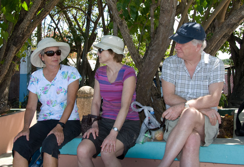
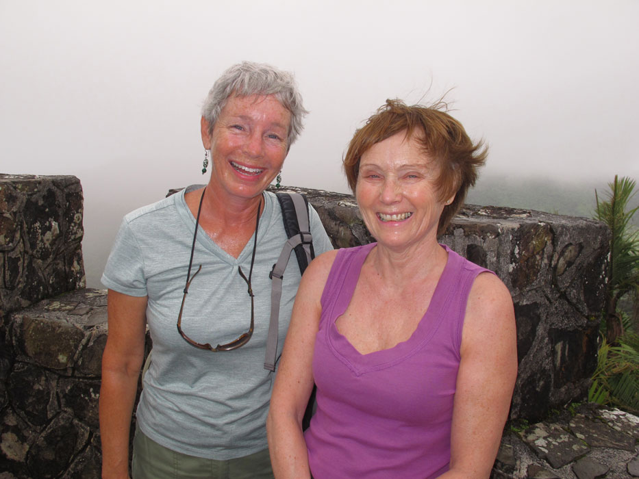
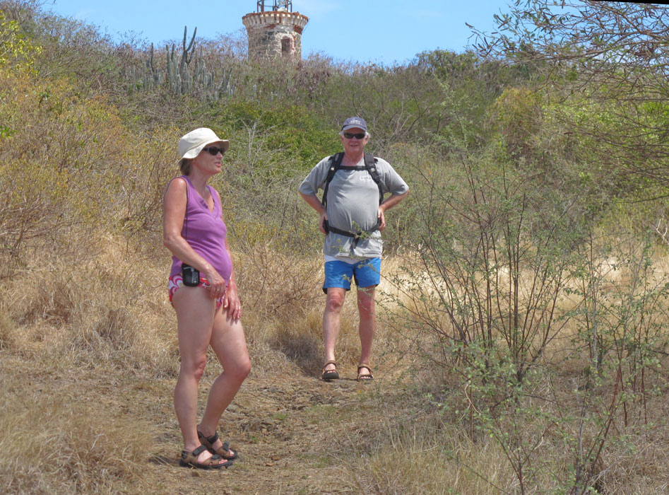
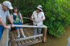
Next day, our sole activity was to drive up to the northeast
corner of Puerto Rico, where we had reservations for a tour of Las Cabezas
National Reserve. Which tour provided an orientation for our guests to the
flora and fauna of coastal Puerto Rico. We visited mangrove-lined salt
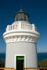
ponds, were driven through dry forest, saw the still-working lighthouse and
explored the rocky shore of a northern bay. One of the men on the tour was
wearing a Gulfstream (Savannah-based manufacturer of corporate jets) hat.
Turned out he lived in the Richmond Hill area, just a few miles from our former
home. His wife was the actual Gulfstream employee. Their
daughter, who along with their son, was accompanying them on their PR vacation,
has a husband who works at the Vogal plant owned by Southern Company, the same
electric utility company that Barb used to work for. Further illustrating
the smallness of the world, upon being introduced to Lars Helge and Tove, he
revealed that his grandfather had come to the US from near Trondheim, Norway.
|
|

|
|
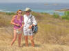
Waiting at the beach outside of the gate for the reserve to open
|
|

|
|
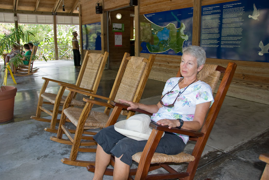
Waiting at the reserve HQ for the tour to begin
|
|
|
|
More waiting behavior
|
|
|
|
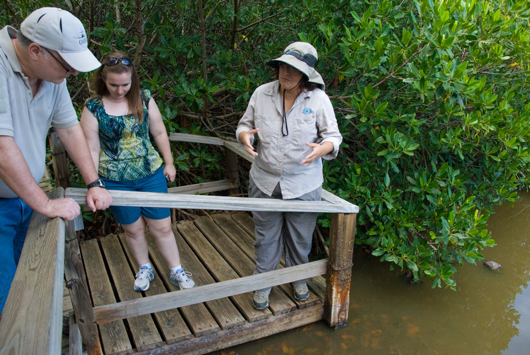
Tour guide discussing salt pond ecology
|
|

|
|
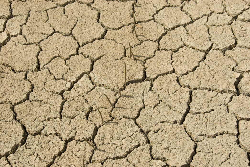
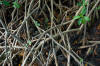
Salt flat with white mangrove shoots (used for "breathing", since the leaves are caked with expelled salt
|
|
|
|
|
|
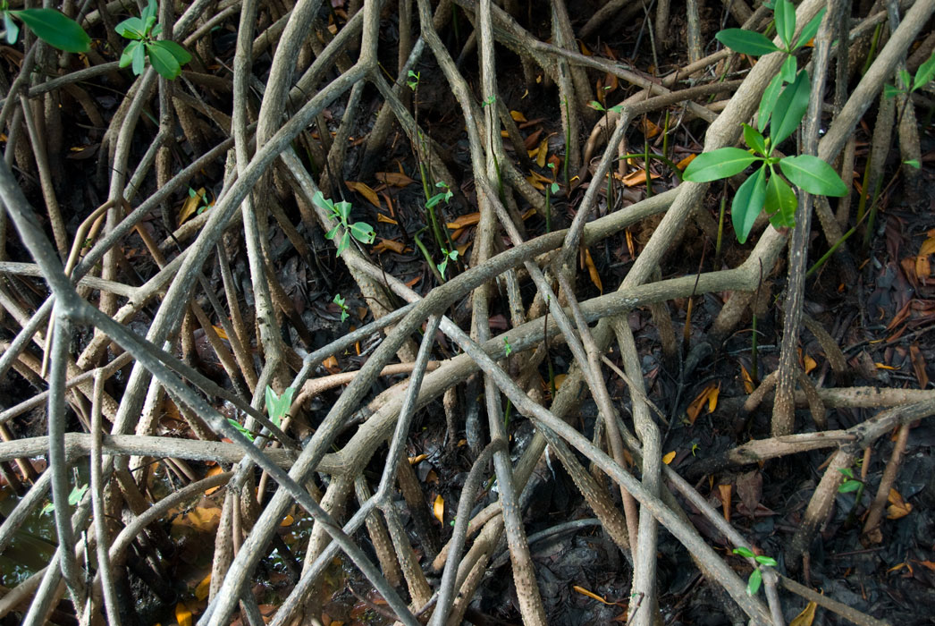
In wetter areas, red mangrove roots (used for support and breathing)
|
|
|
|
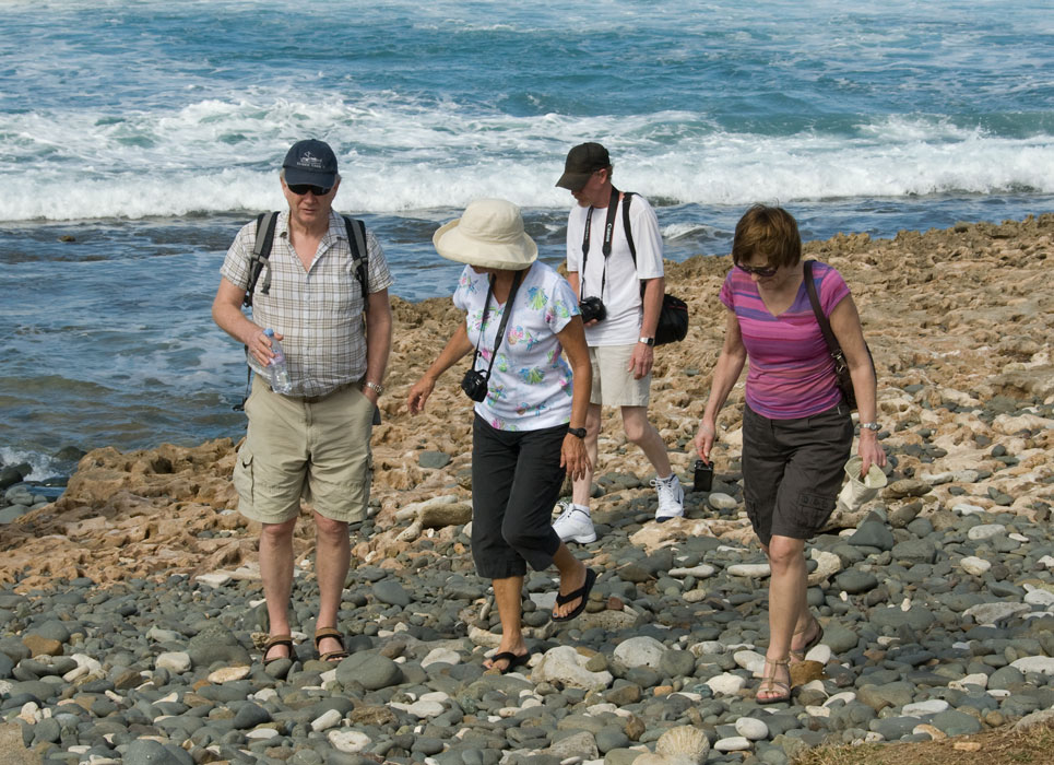
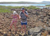
Exploring rocky northern shore
|
|
|
|
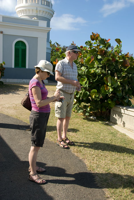
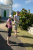
Outside the lighthouse
|
|
|
|
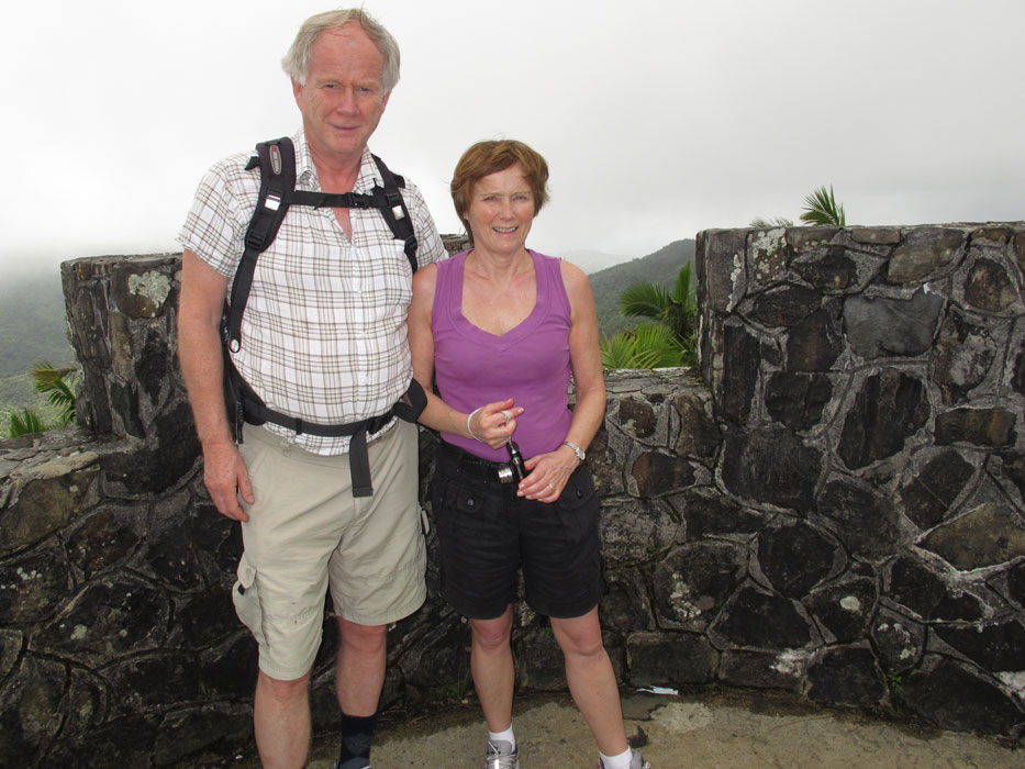
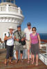
Happy tourists
|
|
|
|
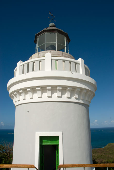
Functional light on the lighthouse
|
|
|
|
|
|
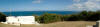
Pan to the NE showing the beginnings of the La Cordillera chain
|
|
|
|
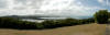
Pan to the south from the lighthouse, showing salt ponds
|
|
|
|
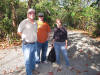
Folks from our old Savannah stomping ground!
|
|
|
El Yunque
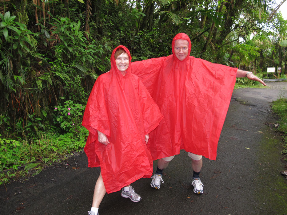
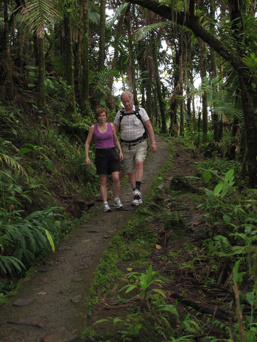
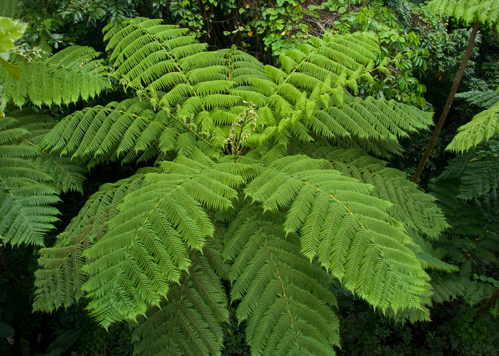
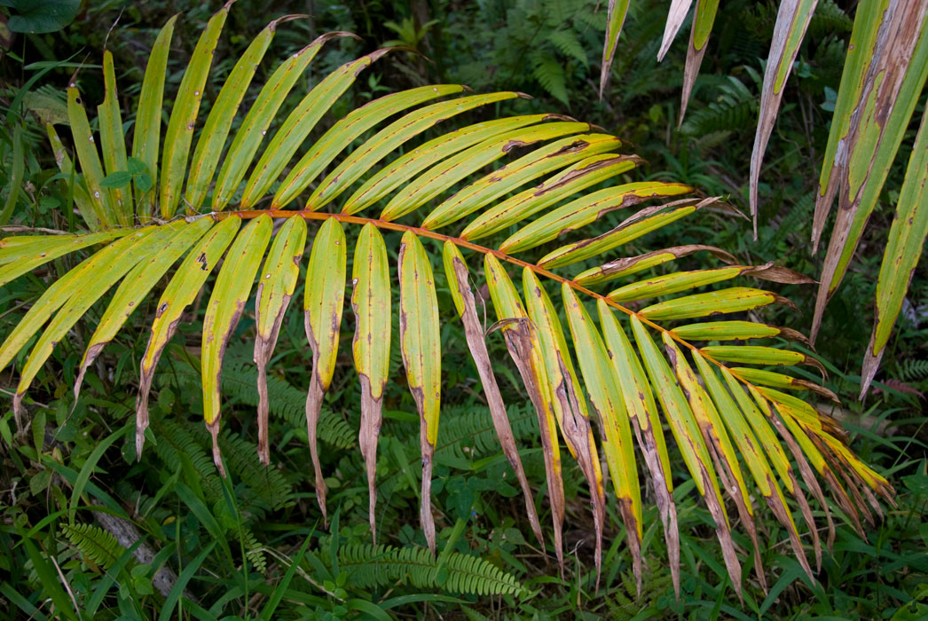
On Feb 26 we drove to El Yunque, the only tropical rain forest
in the US park system. We stopped first at El Portal Tropical Forest
Center and then drove into the National Forest where the non-arthritic members
of our party hiked up and back on the Mt. Britton Trail to the Mt. Britton
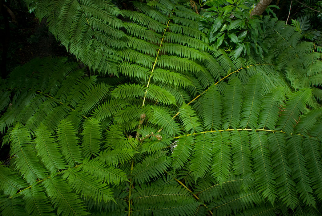
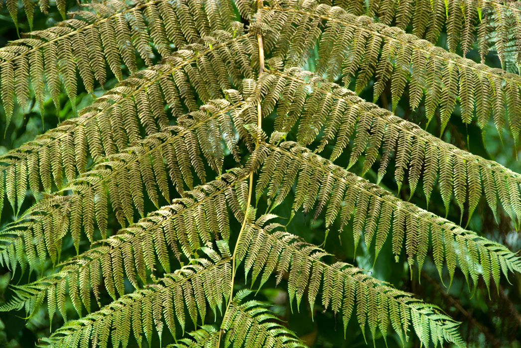
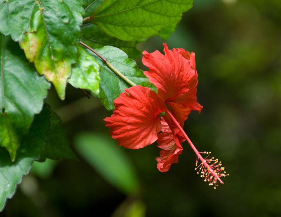
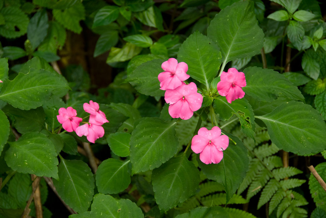
lookout tower. Meanwhile, Mr. Gimpy photographed some of the plant life at
the trailhead.
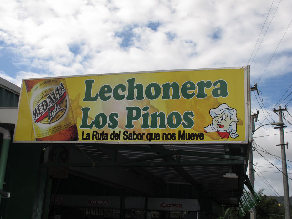
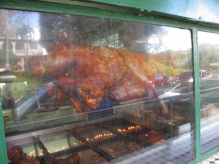
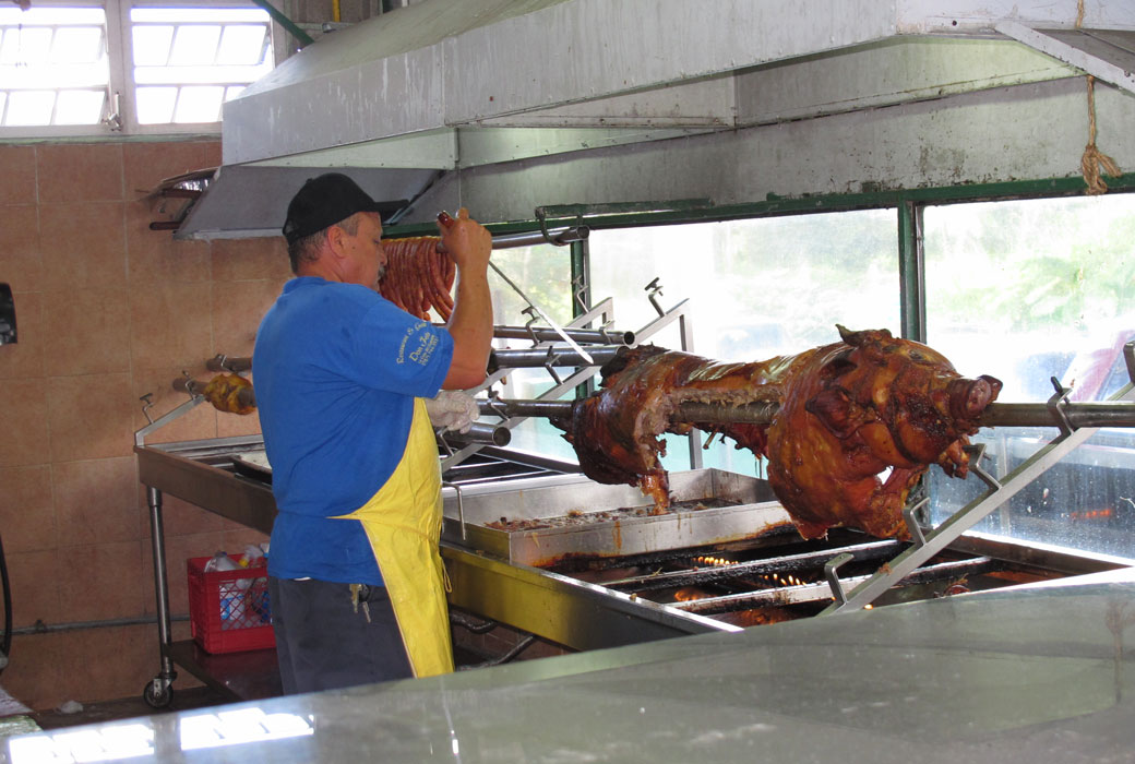
Pig!!!
After El Yunque, we drove west and then south through horrible urban traffic.
Our destination: mountainous Guavate. Eventually urban sprawl was replaced
by a super highway, but soon we turned east and were on a narrow winding road
that brought us to a rural but famous area where there are at least a half-dozen small restaurants that feature roast pig (lechon).
Despite the fact that it was mid-afternoon, or maybe because of that fact, the
road and the restaurant parking lots were clogged. Cars and
motorcycles and four-wheelers. We lucked out and saw a car leave just
ahead of us and pulled into a lot and occupied the
only open parking place for miles. The restaurant was packed, the
atmosphere noisy -- what with a live band and vigorous Spanish conversations --
but the food was delicious, and surprising inexpensive. (For example, four
beers cost $5). Open air (or indoor) seating, plastic forks and spoons and
plates. Pork that had been marinated for three days and then slowly
roasted whole on a huge spit. (See pic below.) Lotsa side-dish
choices, many of which were unfamiliar to us gringos.
Old San Juan
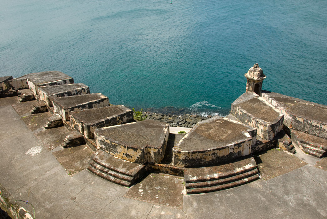
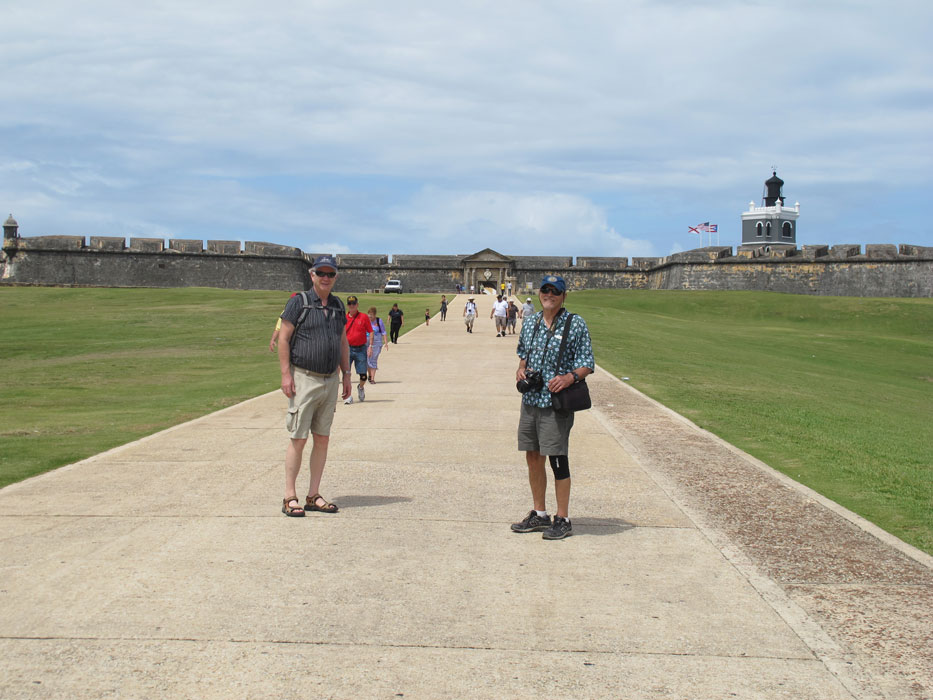
El Moro
High speed tourists to the end, the next day we again braved the
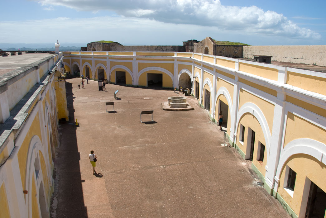
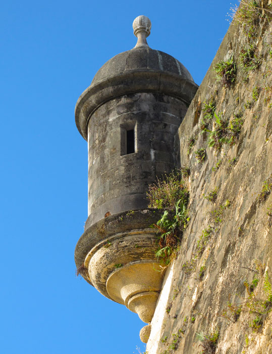
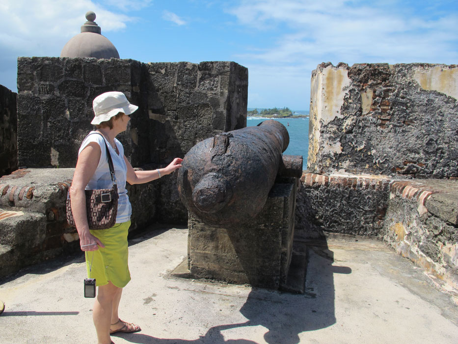
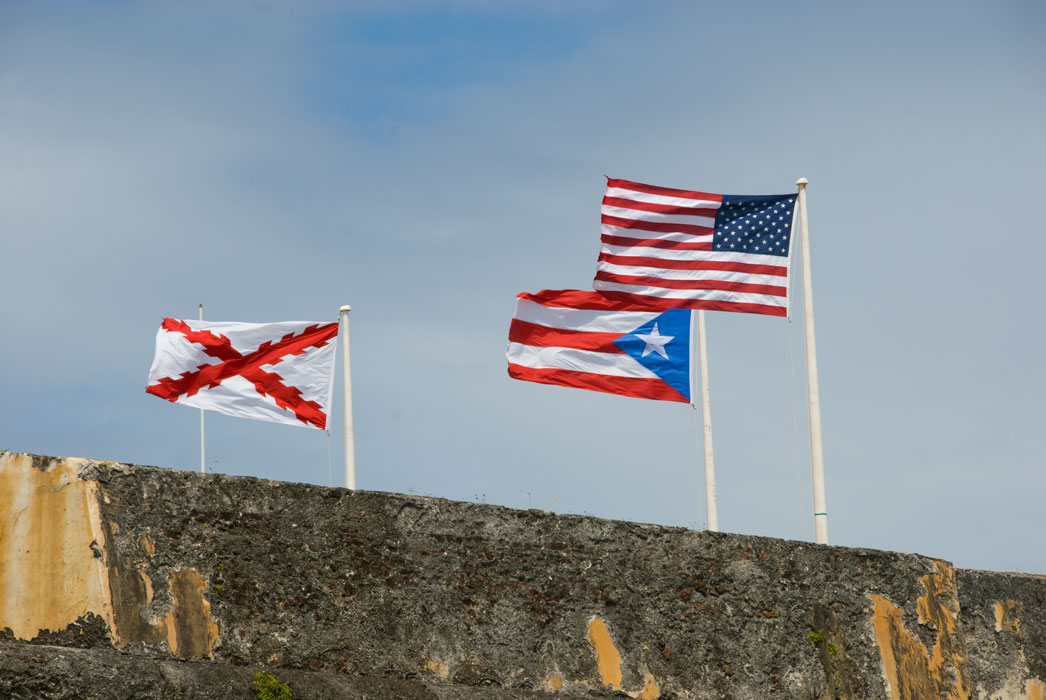
traffic and drove to San Juan to see some of Old San Juan. We visited El
Morro, the historic fort that guarded the entrance to the harbor for centuries.
Construction of the fort was initiated by the King of Spain in 1539. Many
additions later, the fort was completed in 1783 and successfully defended San
Juan from pirates and the navies of Holland, Britain and France, only to fall to
the US in the Spanish-American war in 1898.
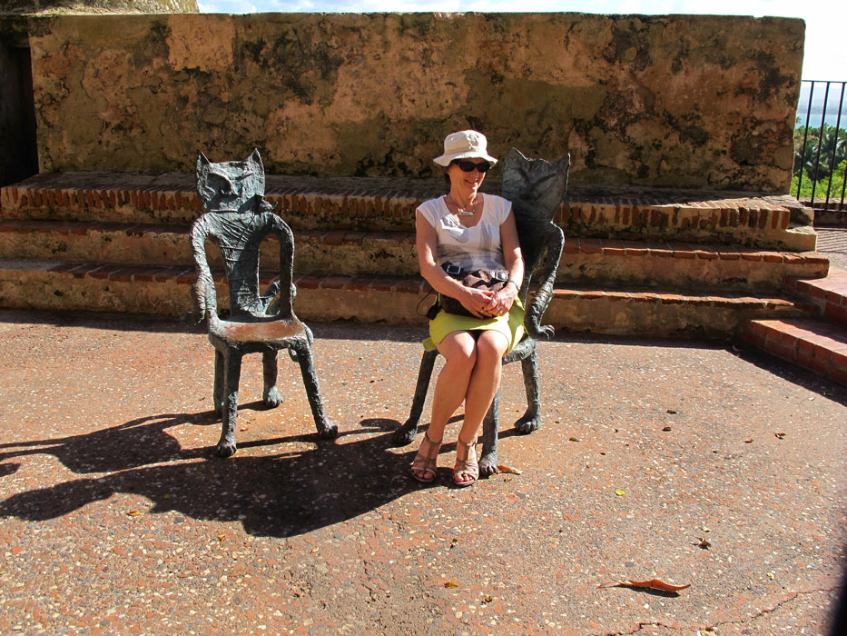
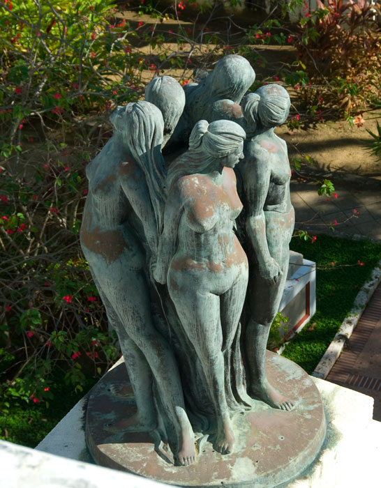
Paseo de la Princesa and nearby areas
After the fort we moved the rental car to the center of Old San Juan where we
first had some lunch (delicious paella) and then used a free trolley to
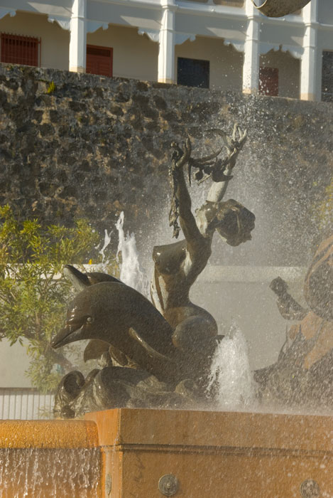
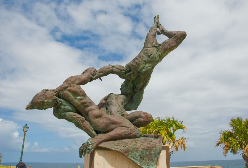
get to Old San Juan's famous promenade, Paseo de la Princesa. There, we
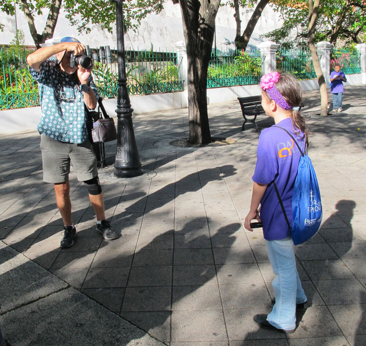
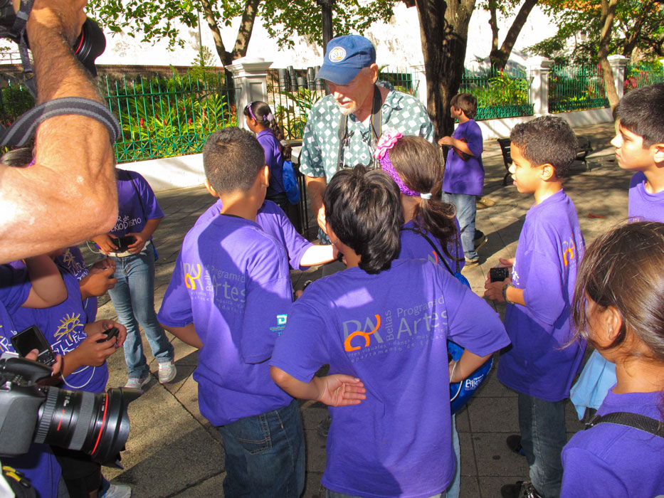
had some ice cream and photographed the statues and fountains, and chatted with
a group of youngsters participating in an art program. One of the
girls asked me to take a picture of her, and after I had, on my camera,
clarified that she wanted me to take a picture of her hugging Barb , but using
her camera. The group was accompanied by a man who had at least three
cameras dangling from his neck, and he photographed the entire incident.
You can see his elbow in one of the photos below.
Culebra Again
Dakity
On Leap Day (Feb. 29) we left Puerto del Rey and hobby-horsed east to Culebra,
where we spent a night in the Dewey anchorage before moving out to the cleaner
waters of Dakity.
|
|

|
|
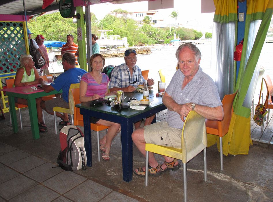
Lunch at the Dinghy Dock Restaurant in Dewey
|
|
|
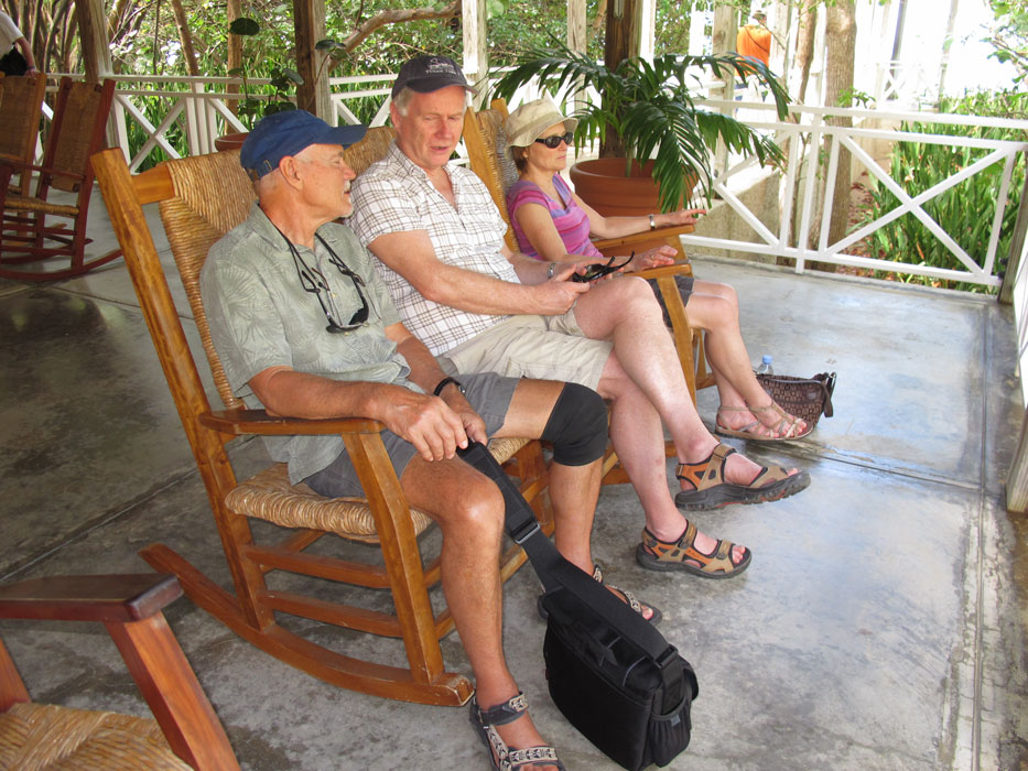
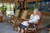
On our first night at Dakity, we had old cruising friends Chris and Yani (Magus)
over for dinner. Two nights later they reciprocated and we were treated to
one of Yani's special multi-course meals.
|
|
|
|
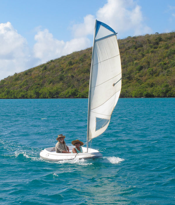
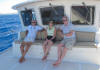
Chris and Yani arriving via their sailing dinghy for cocktails and dinner aboard TT2
|
|
|
|
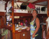
Chris aboard Magus on the evening of their reciprocal dinner
|
|

|
|
Yani during the cocktail/appetizer portion of the evening
|
|

|
|
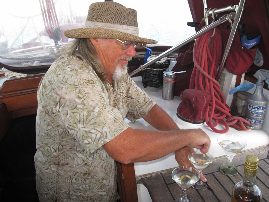
Lars Helge partakes of one of Chris' martinis while Tove has one of our rum punches
|
|
|
|
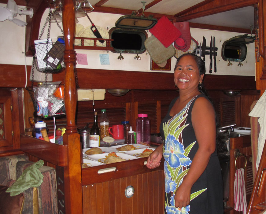
Yani cooking during the multi-course dinner
|
|
|
|
|
|
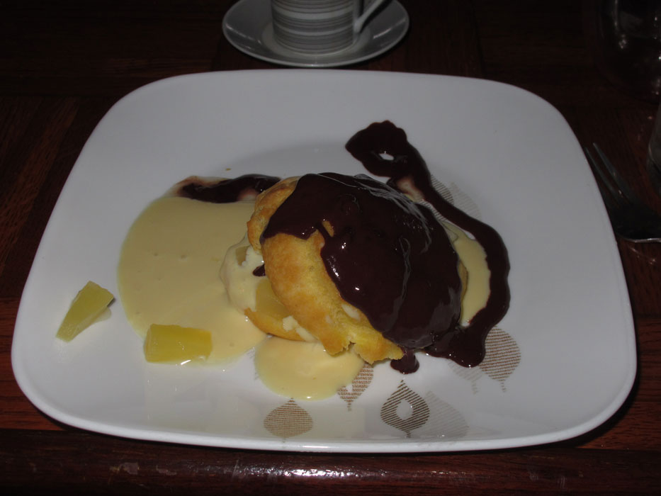
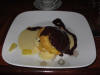
Yani's yummy dessert
|
|
|
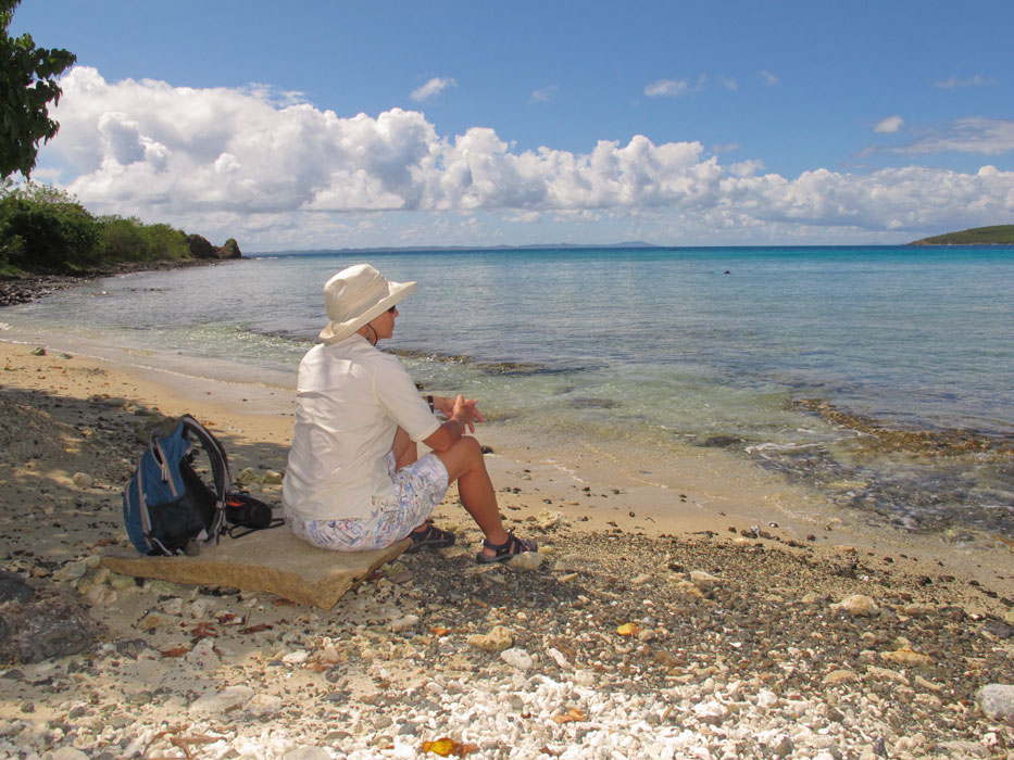
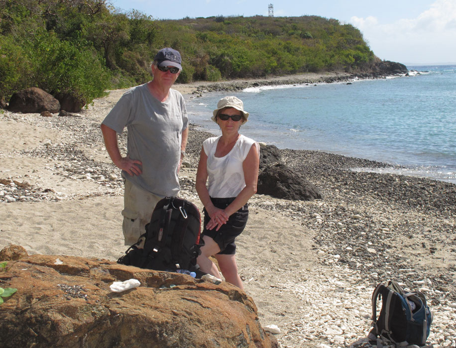
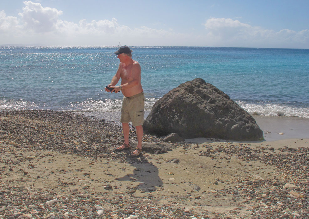
One day I took Barb and our guests to the near shore, where they attempted to
find a way up to the small road that heads south to Punta Solado and the
adjacent beach. No joy. So I returned to the drop off and took
them around the corner to Fulladoza Bay, where they went ashore and had a nice
hike to the beach. There, they swam and even snorkeled, equipped by a
friendly fellow-beachifier who offered a loaner mask and snorkel. As they
returned to the dock in the bay, they stopped at Club Seabourne for a beer, and
hatched the plan of returning that night for dinner. Which we did.
|
|
|
|
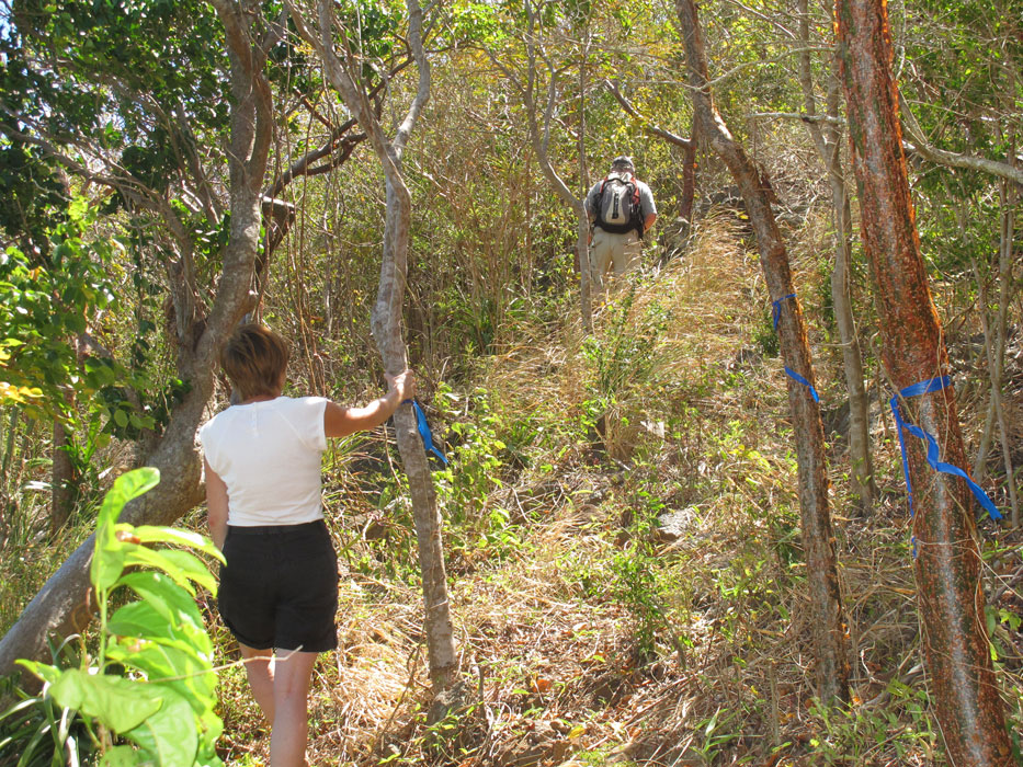
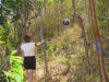
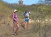
On the unsuccessful bushwhack
|
|
|
|
TT2 from the bushwhack vantage point
|
|

|
|
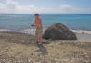
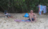
At the beach near Punta Soldado
|
|
|
|
Ditto
|
|
|
|
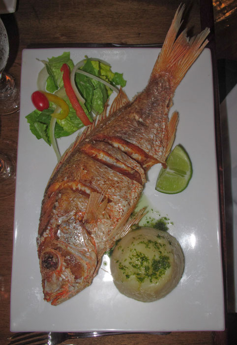
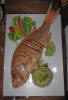
Lars Helge and Tove each had a whole snapper for dinner
|
|
|
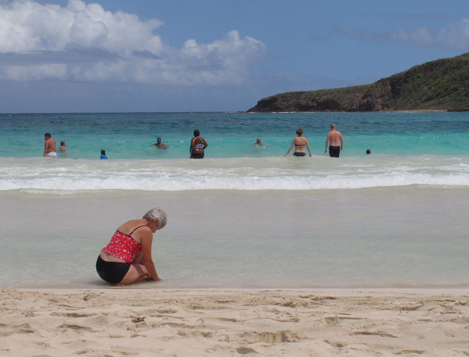
Flamenco Beach
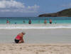
Flamenco beach -- named for the flamingos that used to frequent the nearby pond
-- is one of the finest in the Caribbean. Scads of Puerto Ricans come over
to enjoy its sandy shore and clear waters. Just back from the beach is an
area with a number of kiosks selling all kinds of refreshments, including full
meals. Barb and I had mofongo (smashed plantain with garlic and other
seasonings) and grilled chicken. Instead of plantains, mofongo is
sometimes made with smashed yucca, etc., and that is what Lars Helge and Tove
later had with their snapper at Club Seabourne. When we were through
eating, on the advice of our taxi driver, we took the well-worn 25-minute path
to the west (through the KEEP OUT gate) to Carlos Rosario Beach, which featured
shade, less sand but also much less wind.
|
|
|
|
Flamenco Beach
|
|
|
|
Returning from a stroll along Flamenco Beach
|
|

|
|
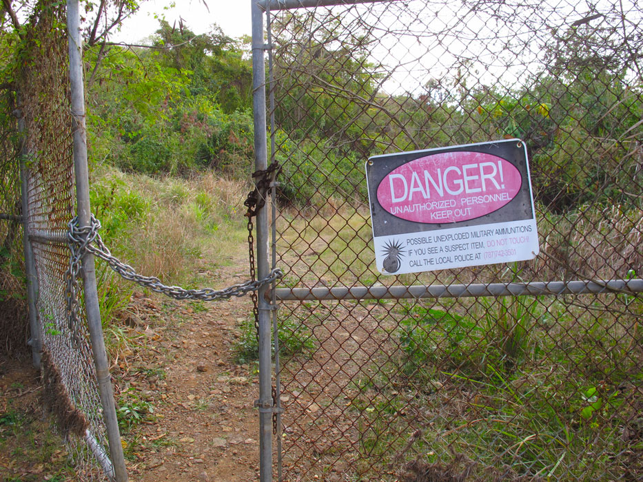
Sign at the entrance to the path from Flamenco to Carlos Rosario Beach
|
|
|
|
Carlos Rosario beach was "relaxing"
|
|
|
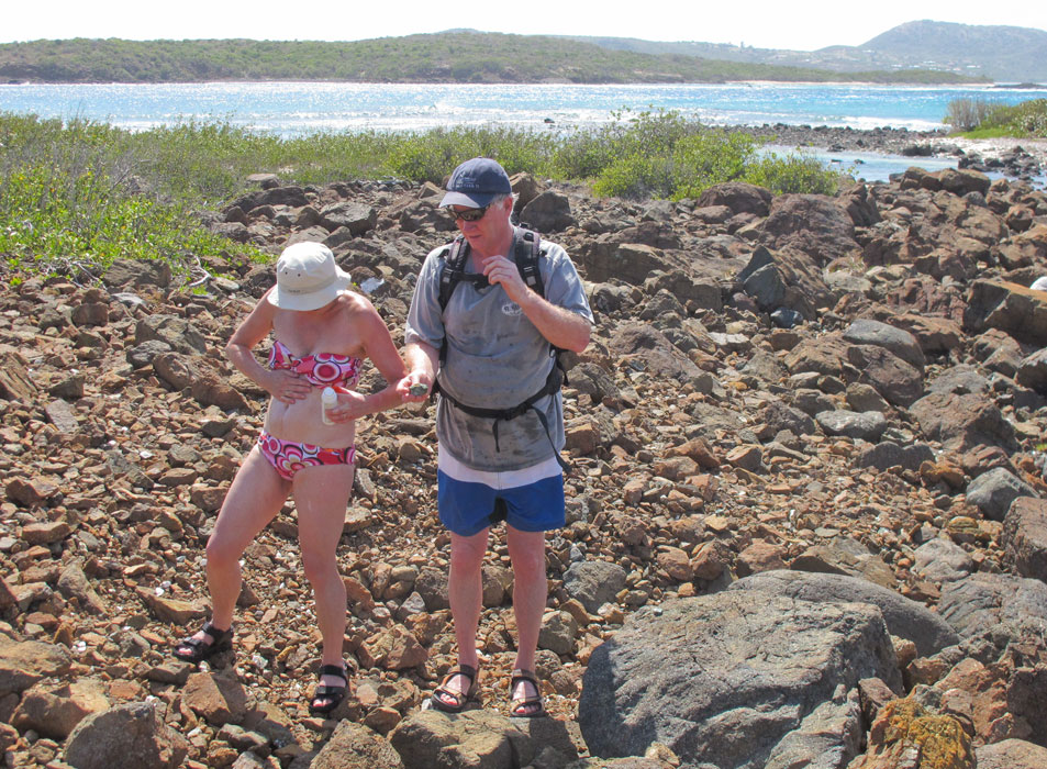
Culebrita
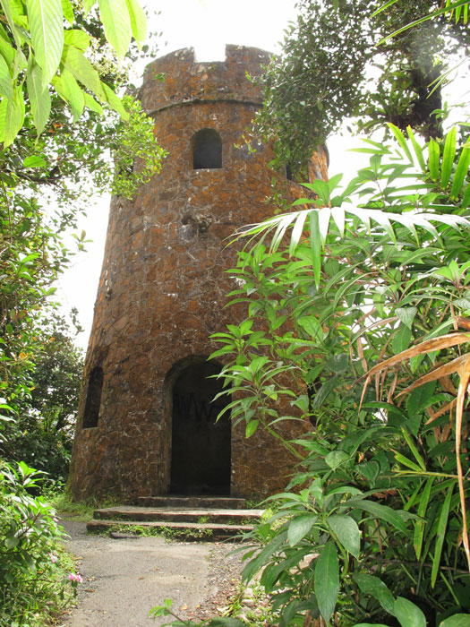
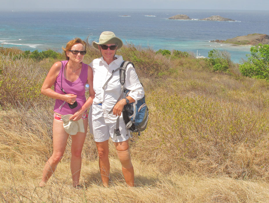
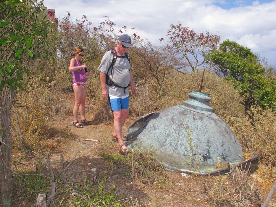
On March 6, we took a day trip to Culebrita, where the non-arthritic members of
our party hiked to the old lighthouse, sat in the Jacuzzi area, and beachified.
The wind was blowing stink out of the east, and the rollers were turning the
corner and entering Tortuga Bay, so at the end of the day we returned to Culebra
and settled into our snug little anchorage at Dakity.
|
|
|
|
Hiking to the century-old lighthouse
|
|
|
|
Along the scenic path to the lighthouse
|
|

|
|
Within the crumbling lighthouse building
|
|
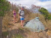
|
|
Top of the lighthouse, no doubt removed by a hurricane
|
|
|
|
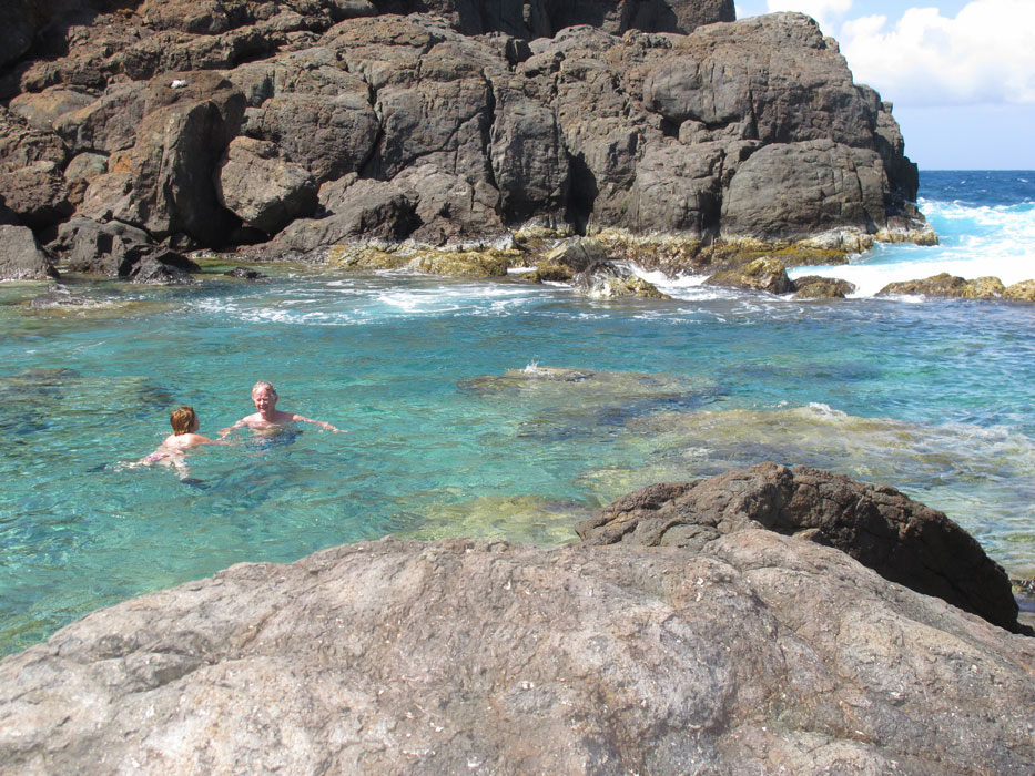
Making their way to The Jacuzzis area
|
|
|
|

|
|
Soaking in the waters of The Jacuzzis
|
|
|
Departure
On March 6 we cruised back to Puerto del Rey, so that our guests could catch
early the next morning a taxi to the San Juan airport. It had been a great
visit. And it afforded Lars Helge and Tove a set of experiences that were
rather different from those they shared with us at
their last Caribbean visit. The wine, food and conversation were as
enjoyable as ever, but the activities were mostly new, since the culture
and the geography were so different. In any case, we had a splendid time
and look forward to next seeing them in Norway, and to their subsequent return
to Tusen Takk II in the Caribbean.
|
|
|
|
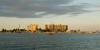
On the downwind passage from Culebra to Puerto del Rey
|
|
|
Return to Home Page