Dominica: March 6-16, 2010
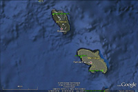
Click on the above thumbnail for a map during this time period
There are Caribbean islands that we like a lot. There are islands we like a little. There are islands we avoid. And there are islands that we love. Dominica, we love.
It has one of the lowest crime rates in the entire chain. The locals
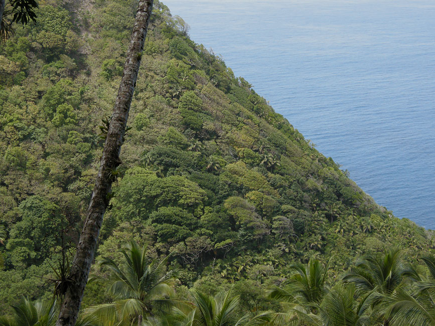
are extremely friendly. The landscape is rugged and beautiful,
filled with waterfalls and rivers and vistas. The mountains are high
and imposing, making much of the landscape in St. Lucia and Grenada and
Martinique seem merely "hilly". We always do a lot of hiking
in Dominica, and this visit has been no exception. Fort Shirley is
always good for multiple easy hikes. There a number of other local
trails that start right in the Portsmouth area and move on up into the woods and
hills/mountains, punctuated occasionally by cleared steep slopes that are
cultivated for yams or bananas or dasheen or mangoes or passion fruit, tended by
locals who invariably are a bit startled to see us at first, and then just as
invariably are warm and friendly.
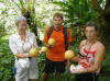
Heaven's Best
Just a few miles north of Portsmouth is the restaurant
Heaven's Best, run by Heskeith and Evelyn. Evelyn now has
wheels, and will come down to the Purple Turtle (on the north shore of Prince
Rupert Bay) to fetch patrons. Heskeith is the chef, finally
fulfilling his dream and using his training in French cooking after a career of
running fast food (mostly barbeque) eateries in New York State. They
are warm and friendly people, and the food and presentation are really very good.
(While Evelyn was driving us up to the restaurant, we mentioned that we were
looking for a trail that was purported to go from Tanetane to Vieille Casse.
In order that we might fully grasp the magnitude of that climb, she insisted on
taking us on a long detour up the road toward the peak.) These are warm
and friendly people. Have I said that already? Visitors to the Portsmouth area should do themselves a favor and schedule a
dinner at Heaven's Best. They don't serve alcohol, but will
gladly provide glasses and ice to those who bring their own wine.
|
|

|
|
Heskeith, Evelyn, and our waitress
|
|
|
Hike to (and from) Boiling Lake - March 9
Swedish friends Anna and Håkan (Unicorn) had already been in Dominica
when we arrived, and they had been busy with many hikes. For one of
them, they engaged a local taxi driver to take them to a remote site, wait for
them to finish, and then return them to the anchorage. All for a
price far below the usual rate among drivers in the Portsmouth area. They were keen to do the Boiling Lake hike, as were Hunter and Devi. Barb and I had done the
hike in Jan. 2009, and so Barb decided not to repeat. I almost
also declined, because it had been raining on the 18th, and I had vivid memories
of the muddy and exhausting hike that Barb and I had had. But in the
end, I opted to join the crew. Håkan once again opted to use "Nero"
for transportation, and once again the price was fantastic. In the
end, I was glad I went. The conditions were perfect, with no mud on
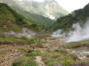
the trail and no clouds obscuring visibility (at least on the way in). The drive down from Portsmouth through Roseau to the trailhead took 2 hours. The hike itself took us 3 hours to reach boiling lake, and maybe a little less
to come back. It can be broken down into three parts. The
first, lasting about 1 hour, starts at Titou Gorge (1690'), and climbs steadily
for about 45 minutes. When conditions are muddy, this section is
VERY muddy. But for our hike it was dry, and simply enchanted, with
lush vegetation and a serenade provided by birds that we did not see but think
were "Mountain Whistlers". Then, 15 minutes down to Breakfast River,
where the water flows cool and clear, and some guidebooks recommend refilling
water bottles. The second part also takes about an hour, with a
steep climb up to about 2500' where the trail enters a ridge which climbs up to
the top of Morne Nicholls,
about 3168'. We were slightly ahead of schedule at this point,
having attained the clearing at the peak in only 40 minutes. The
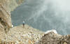
third part has several subparts. A 20 minute descent down the ridge
to the top of the Valley of Desolation. A VERY steep descent down
into the valley. A traverse of the valley, and an exit along a hot
stream filled with minerals. A climb back into vegetation, a descent
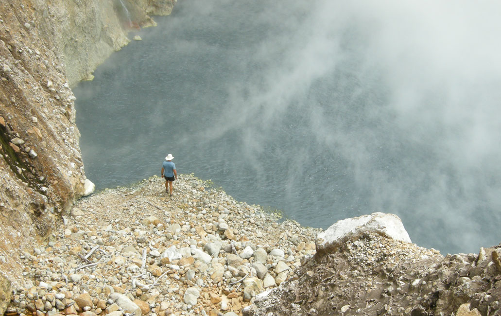
back into a mini-valley of desolation, and then the lake itself at 2640'. The lake was full, and boiling furiously, creating enough steam to mostly
obscure the roils. But occasionally the wind would sweep the steam
away sufficiently that one could glimpse the roils in the 200'-diameter body of
grayish-blue water. But I never got a decent picture -- to see the
roil go to our
Jan. 2009 account, or follow the links given in the next paragraph.
There are web sites that provide a better description of the
hike, and of the boiling lake, than I have provided. The sites also
mention that on occasion the lake has actually gone dry! For a
description of the hike, and of the lake, including pictures of the lake when it
was dry, go to
www.avirtualdominca.com/thelake.cfm and
www.natureisland.com/BoilingLake.html
|
|

|
|
Panorama of Prince Rupert Bay, taken while waiting for our transportation to the hike
|
|
|
|
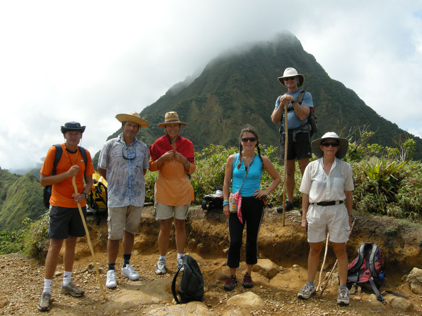
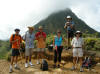
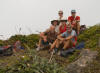
The group up at the highest point of the hike: Morne Nicholls (3168')
|
|

|
|
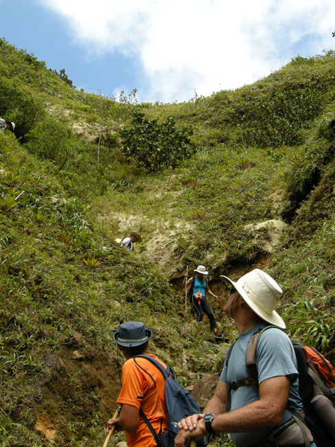
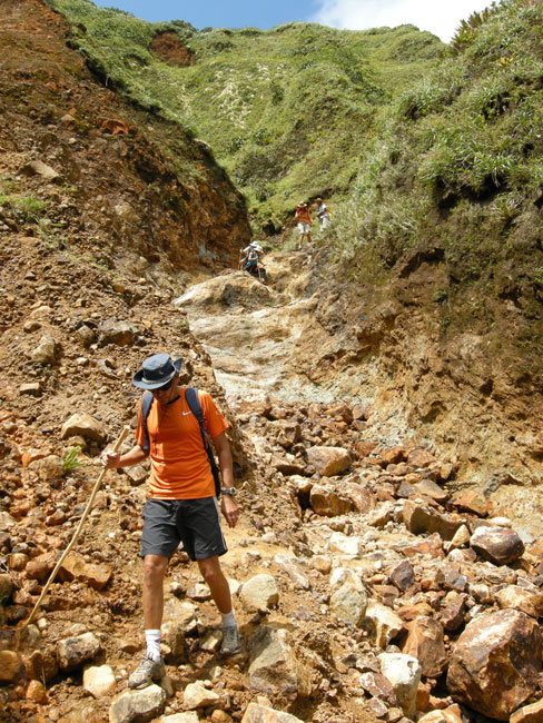
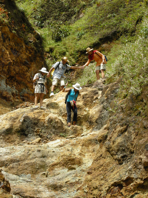
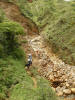
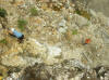
Steep descent into the Valley of Desolation
|
|

|
|
Ditto
|
|
|
|
Ditto
|
|
|
|
|
|
Ditto
|
|

|
|
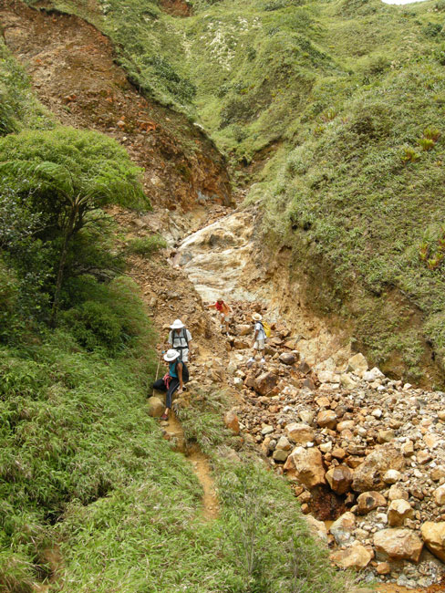
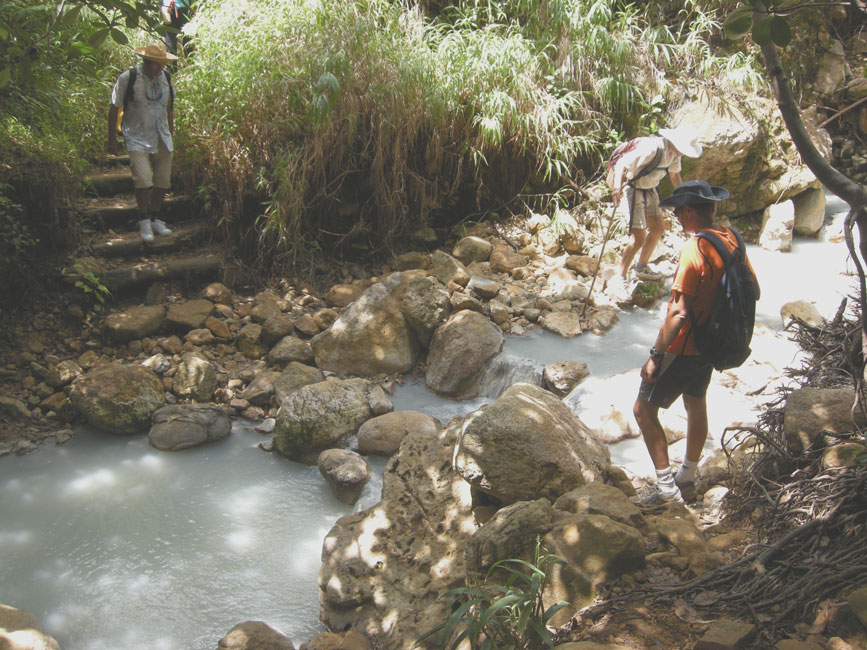
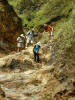
Crossing a mineral-laden hot stream between the Valley and the Lake
|
|
|
|
Hunter climbing down a cliff to get to the shore of Boiling Lake (Håkan was already down)
|
|
|
|
Hunter at the shore edge
|
|
|
|
Looking down the Valley as the group returns
|
|
|
|
|
|
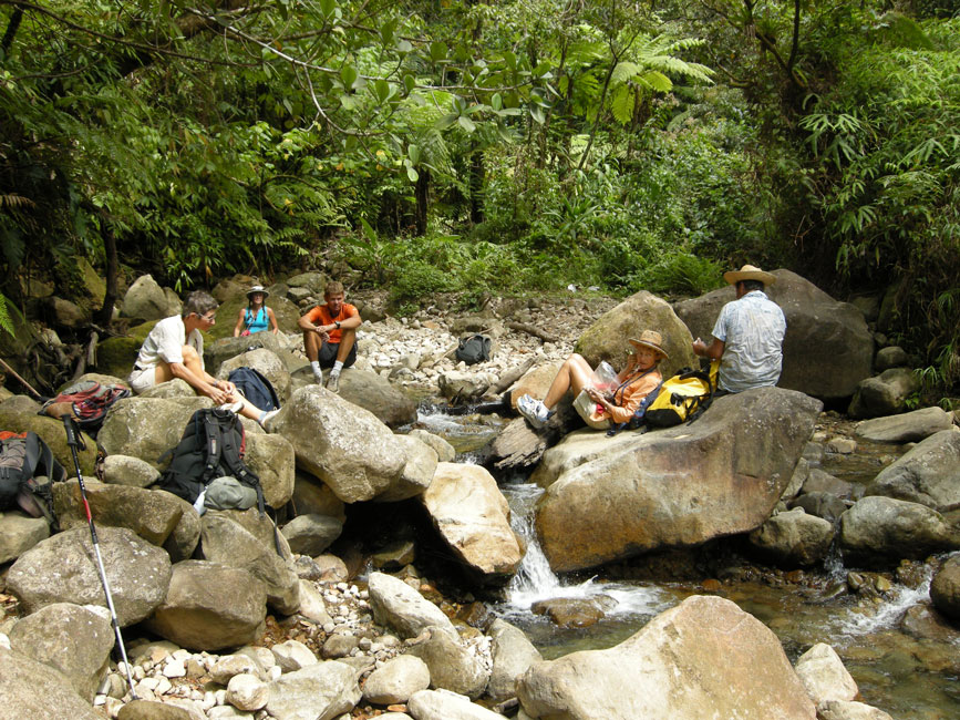
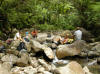
Resting at Breakfast River on our return trip
|
|
|
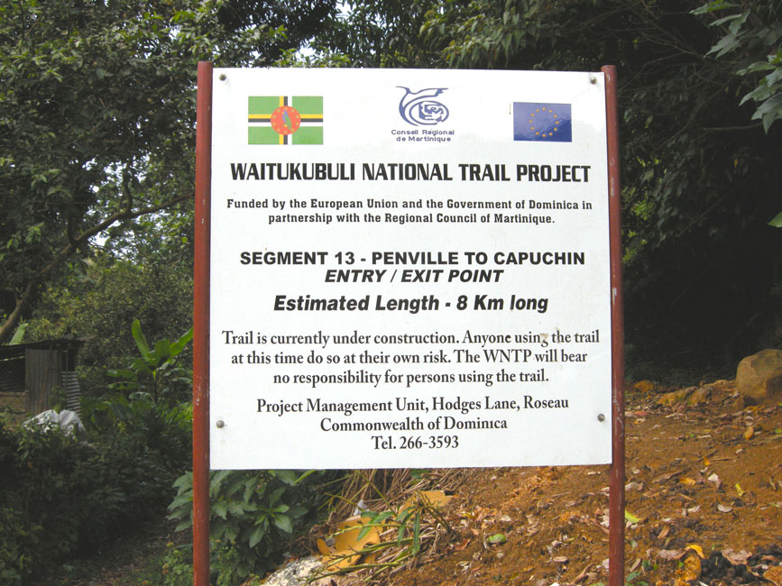
Capuchin/Penville Trail
We took a day off on March 10, in order to let our calves
recover a bit from the Boiling Lake hike. But we used the time to
research our next adventure, and found in a glossy tourist magazine, called
"Experience Dominica; the Nature Island -- 2010", an intriguing description of a
hike that would start at Tanetane (the small settlement just north of
Portsmouth) and cross over from the west coast to Vieille Casse on the east
coast, passing across Morne aux Diables, an extinct volcano that towers some 861
m over the north end of the island. So on 3/11 the crews of
Arctic Tern, Unicorn and Tusen Takk II set out by foot to walk
up to Tanetane and to find the trail head, with the intention of then hiking
over to Vieille Casse. Less than half-way to Tanetane, a friendly
local in a pickup truck stopped and asked us where we were going. We
told him our plans, and asked him if he knew where the trail head was.
We were surprised and a little concerned when he said he didn't know, although
he enjoyed hiking in the area. We asked him if we could catch a ride
with him up to Tanetane, and he immediately said "of course". So
we all jumped into the back. When we
arrived at Tanetane, our new friend helped us ask others about the trail head.
Everyone was puzzled. Finally someone said that the paved road that
runs across Morne aux Diables to Vieille Casse had formerly been just a track,
but that it had been turned into a real road about two years earlier.
Hunter got on the phone to the Tourist Office, and after being referred to
several people finally got confirmation that it was indeed true that what had
formerly been a primitive track suitable for hiking had been turned into a real
road. We had no interest in hiking up a hot, sunstruck blacktop
highway, however spectacular the views, and so we needed an alternative.
Unicorn suggested the hike from Capuchin to Penville, a hike along
the northern end of the island that they had done several days earlier, before
we had arrived at the island. While we waited for a bus to come by,
we bought some bread directly from a van that was delivering bread to the
various settlements in the area. When a bus finally arrived, it
appeared to be already full, but somehow six more people were squeezed in,
making a total of 15 passengers and a driver. (Two of the rows
contained 4 people, one contained 5, and there were two in the front with the
driver, all in a van that one would suppose had a capacity of 10 passengers.)
No wonder when a local gets on a bus he/she always says hello to the occupants.
It is only natural to give prior acknowledgement to someone you are about to
pressed up or on to.
The trail was well marked, and followed an old plantation track,
so it was never so steep that a donkey could not walk it. It
traversed through rain forest, so it was green and lush even though Dominica,
like most of the Eastern Caribbean islands, is suffering from a severe drought.
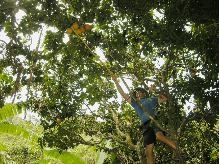
On their previous hike over the trail, Unicorn had mistakenly taken a
side trail at one point, and we deliberately all followed it again, because it
lead to an abandoned plantation that featured fruit trees of various kinds.
|
|

|
|
Buying bread while waiting for a bus
|
|
|
|
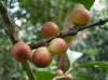
Gathering grapefruit while we may ...
|
|
|
|
Some of the appropriated fruit
|
|
|
|
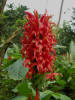
These blossoms drove the hummingbirds crazy
|
|

|
|
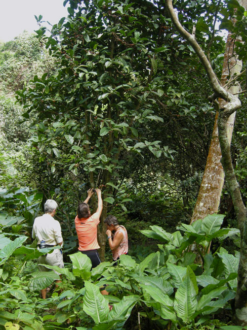
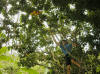
Examining coffee beans on a huge bush
|
|
|
|
|
|
Closeup of the unripe coffee beans
|
|
|
|
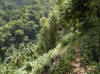
Portion of the trail
|
|
|
|
Winds have textured the bushes across the valley
|
|
|
|
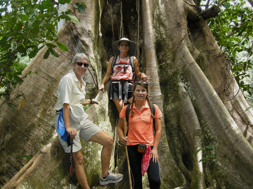
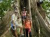
Barb, Devi and Anna pose at the base of a huge tree
|
|
|
|
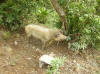
Pig at the side of the trail near the end of the hike
|
|
|
|
|
|
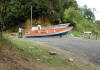
New boat being constructed at the end/beginning of the trail
|
|

|
|
Sign at the end/start
|
|

|
|
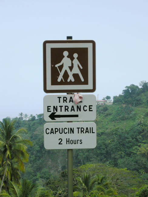
Another sign at the end/start, with a different spelling of Capuchin/Capucin
|
|
|
Local Hikes
The next day (3/12), we took a local hike, turning east at the
market area in Portsmouth and continuing past the hospital and beyond as the
road turned into a track and then a trail. Way up on the slope we
found a small cabin and a blue tent, and a teenage boy soon appeared when we
shouted "hello". Pleasant young man. As we headed back
we soon came upon two Rasta individuals that were quite surprised to see us, but
soon became relaxed, friendly, and talkative. We all introduced
ourselves, but the two locals explained that they didn't go by their given
names. Instead, one, the young man's father, was called "Simple", for reasons that were not
explained, and the other was called "Shook", with the "o" sound as in "goose",
because he was short. (We found out later that "shook" means
"root".) Two days later (3/14) we returned up the trail, and
again encountered Simple. He told us about another way to descend,
which we took, following a track down toward the southeast that eventually hit
the highway running into Portsmouth. As we hit the highway we were
joined by yet another Rasta fellow who may have been named Alphonso or
Alexander; I don't remember for certain. I do remember his beard,
however. He had it tucked into his shirt at his neckline, and it was
so long that it re-emerged at the bottom of his shirt at his beltline. He
walked along with us into town, and quietly proselytized for a life of reverence
and tolerance. Barb was a good sport and received the brunt of the lesson;
the rest of us must have felt that our lives already contained sufficient
quantities of those virtues. Either that or we couldn't tolerate being
lectured on reverence.
|
|
|
|
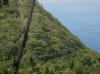
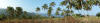
Panorama looking toward Portsmouth from a cleared field owned by Simple
|
|

|
|
On the track descending southeast from Simple's holdings
|
|

|
|
A sign along the track near where it hit the highway
|
|
|
On 3/13 we revisited Fort Shirley; this time going up the trail to the top of
the western peak. From there we bushwhacked a bit and found some of the
ruins that are not on a trail, and then we bushwhacked down the side of the
slope until we re-encountered the trail. Just inside the walls at
the entrance to the fort there is a huge Silk Wood tree, also known Kapok.
A few of you may be old enough to remember when the floatation material inside
of life jackets was the "wool" taken from Kapok pods.
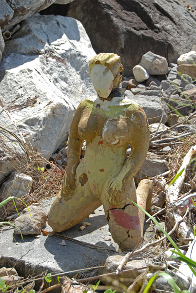
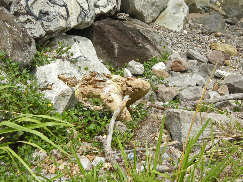
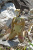
I first noticed a bizarre mannequin along the road to Fort
Shirley in early 2009, and I have been monitoring "her" condition ever since.
|
|
|
|
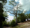
Majestic silk cotton (kapok) tree in Fort Shirley
|
|
|
|
Picture taken Jan. 2009
|
|

|
|
Picture taken Apr. 2009
|
|
|
|
Picture taken Mar. 2010
|
|
|
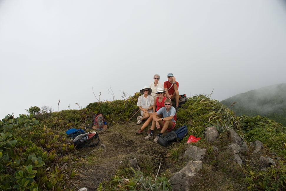
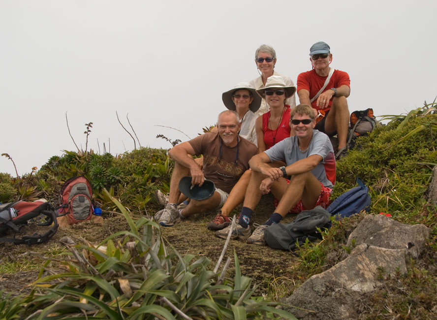
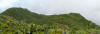
Morne Diablotin (4747')
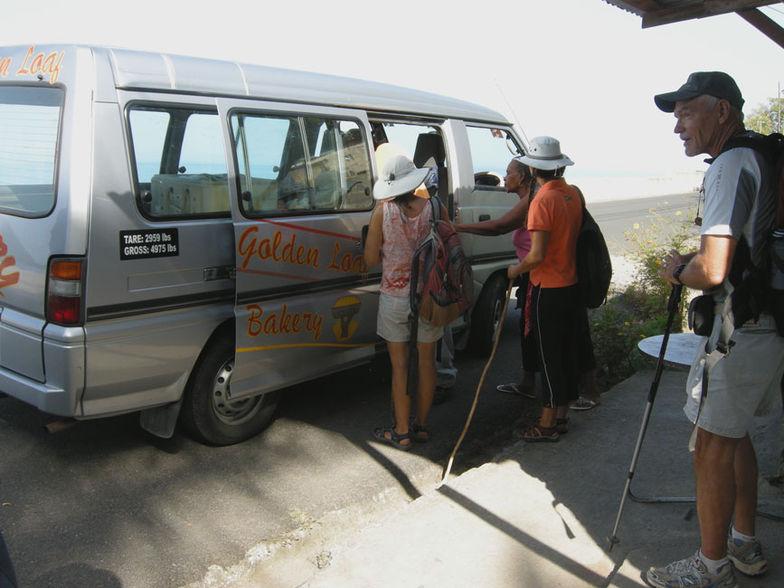
On 3/16 the crews from Arctic Tern, Unicorn, and
Tusen Takk II met their pre-arranged ride at the Purple Turtle, and were
transported up to Syndicate Estates where the trailhead is found for the trek up
to the highest peak in Dominica: Morne Diablotin. The first
half of the hike is up steep but well-maintained steps that climb through an
old-growth forest that contains massive trees. We heard occasional
parrots squawking up at the treetops, but the foliage was too thick to see them.
Likewise for the birds that plaintively serenaded us as we climbed -- web
research by Devi later identified them as Rufous-throated Solitaire. Go to
http://macaulaylibrary.org/search.do
to hear their
call.
At about the half-way
point there was suddenly an overlook, and at that point the vegetation changed
dramatically. The trees became bushy and short, and the trail ceased
to feature built-in steps, and instead became clogged with roots and branches
and rocks, all of which were probably dangerously slippery when wet.
Fortunately, save for a little "dew" left by clouds passing through at the high
altitude, the trail was dry. When we reached the top, the sun was out, but
the mountain was surrounded by clouds at a lower level, so we were denied the
view we had been so anxious to experience. We began the ascent at 9 AM,
and it was 4:30 PM when we climbed into the waiting van for the return trip to
Portsmouth. Very nice hike. And no, you won't need a guide.
|
|
|
|
Sign at the trailhead
|
|
|
|
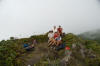
At the top; note the clouds below us
|
|
|
|
"Timer" picture of the group at the top
|
|
|
|
Panorama at the top toward peaks we passed through
|
|
|
|
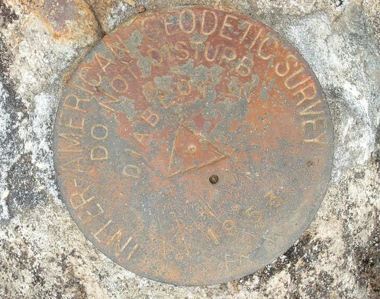
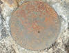
Survey plate embedded in a rock at the top
|
|
|
|

|
|
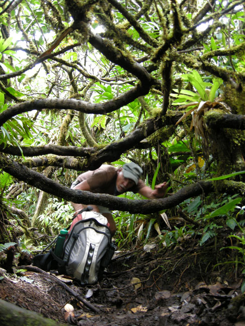
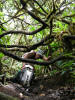
Typical trail for the upper half
|
|
|
|
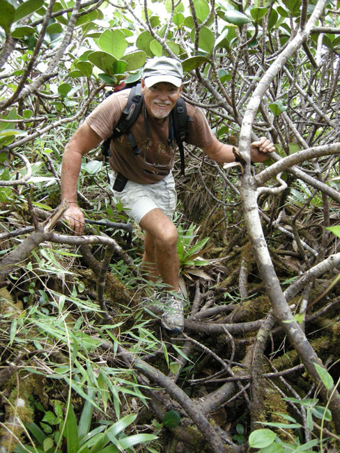
I sometimes had to remove my heavy (camera-laden) pack in order to get under the tangle
|
|
|
Finally, on Mar. 15, the Terns and Takks caught a bus to Roseau,
where we did a little shopping and had a great lunch before returning.
Here are a few pictures I took:
|
|

|
|
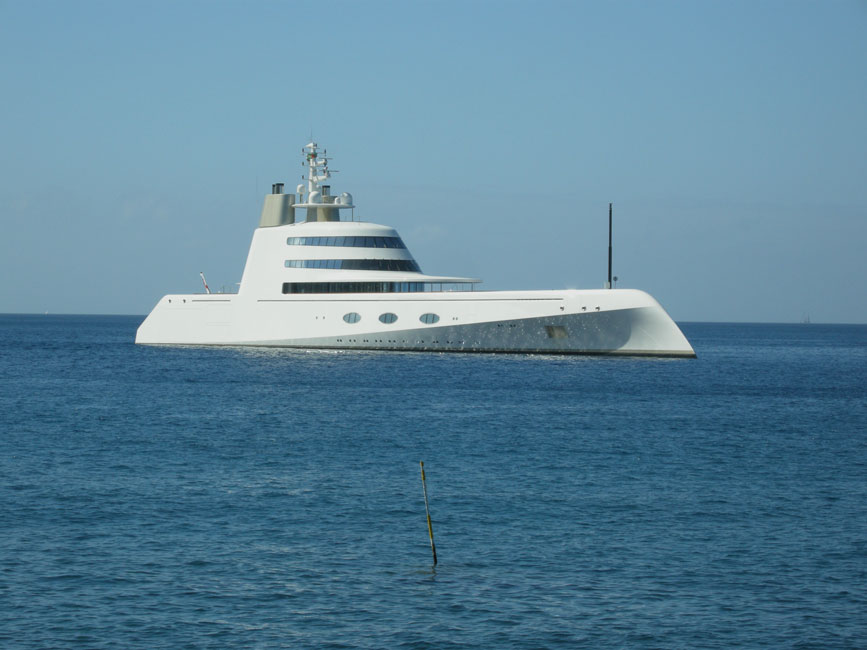
This extremely ugly vessel was anchored near ...
|
|

|
|
... this cruise ship with an interesting name
|
|
|
Return to Home Menu