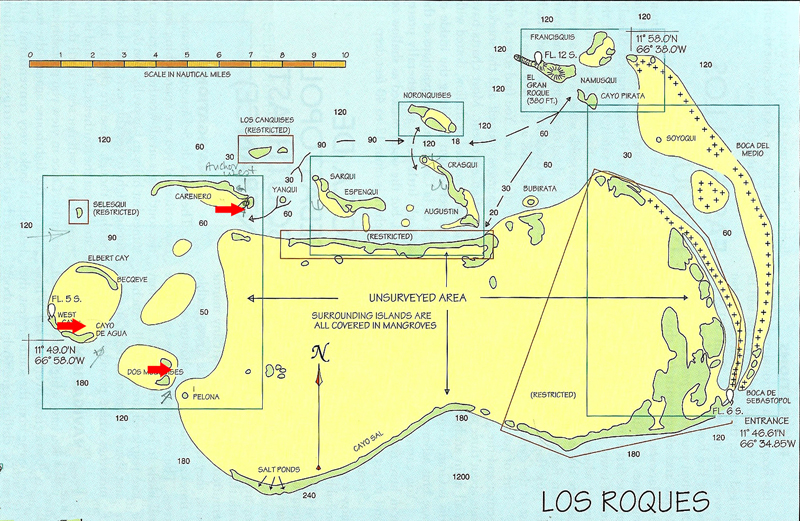
June 28-July 6, 2010 -- Los Roques, Venezuela
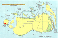
Click on the above thumbnail for a map during this time period
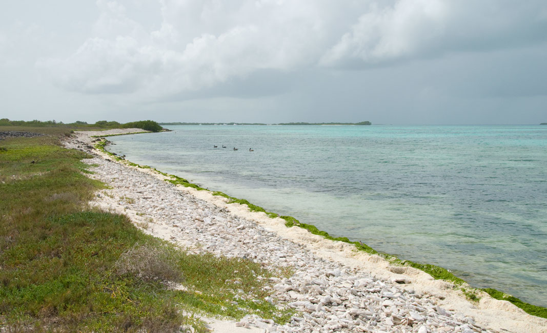
Cayo de Agua
Cayo de Aqua is the southernmost of four islands forming a little archipelago on
the western extreme of Los Roques. West Cay is to the west --
connected to Cayo de Aqua by a walkable but wave-splashed sandy spit; Elbert Cay and Bequeve
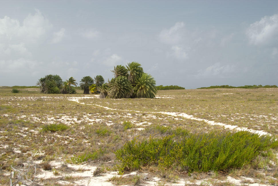
lay to the north. Agua is an island with tall sand
dunes, a small palm grove, mangrove trees, and lagoons. Many many
types of birds use the island for nesting;
click here for some of Chuck's
photos of the avian residents.
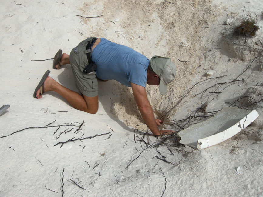
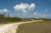
In the vicinity of the palm grove the land is pitted with holes; Cayo de Aqua is
named for the fresh water that is just a few feet down under the sand, and ever
since the Amerindians the island has been used as a source of "fresh" water.
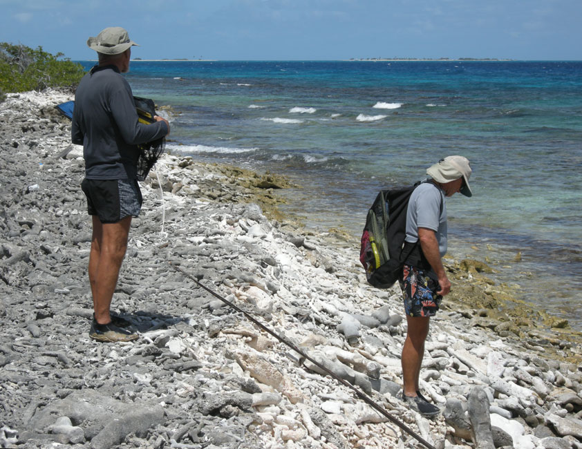
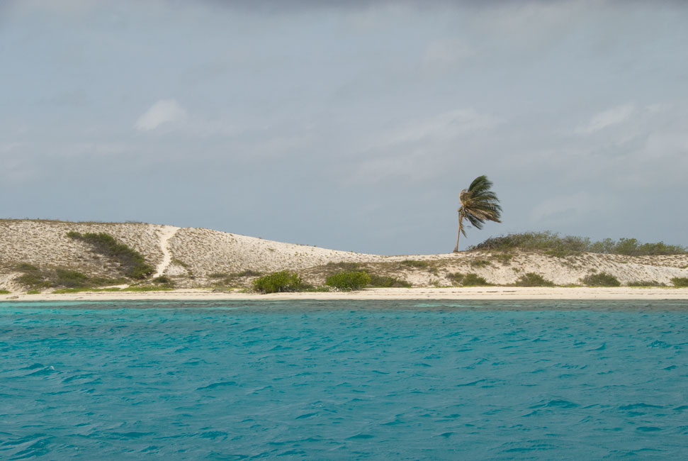
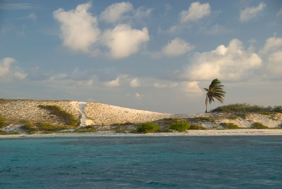
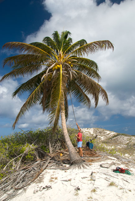
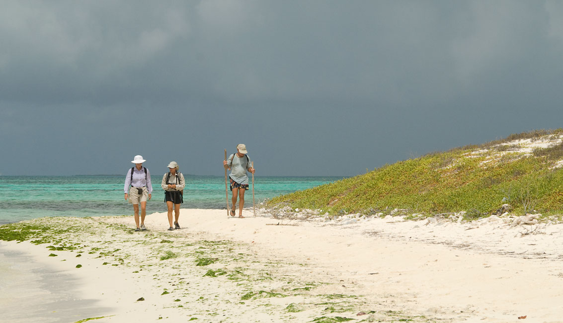
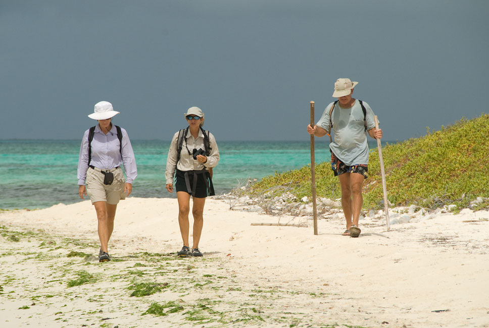
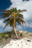
We did a number of major walks on the islands, and Hunter did some harvesting of
the coconuts on the lone palm tree just opposite of our anchoring position. A nearby path crosses over the dunes to the reef side; we took that path and
waded out through a small gap in the reef to do some snorkeling. There we
found lots of healthy hard coral in a by-now familiar configuration: a
near-shore barrier band reaching just over or just under the surface, and then a
falloff to more deeply-submerged separate heads that are on a gentle slope leading out to deeper
water.
|
|
|
|
Looking for a gap in the reef through which to snorkel
|
|
|
|
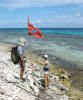
Setting a flag to mark the gap through which we would enter/exit the reef
|
|
|
|
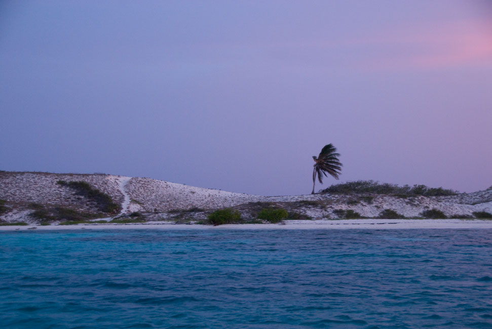
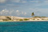
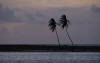
Lonely palm in morning
|
|
|
|
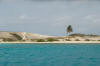
Lonely palm at noon
|
|
|
|
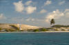
Lonely palm in afternoon
|
|
|
|
|
|
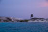
Lonely palm at dusk
|
|
|
|
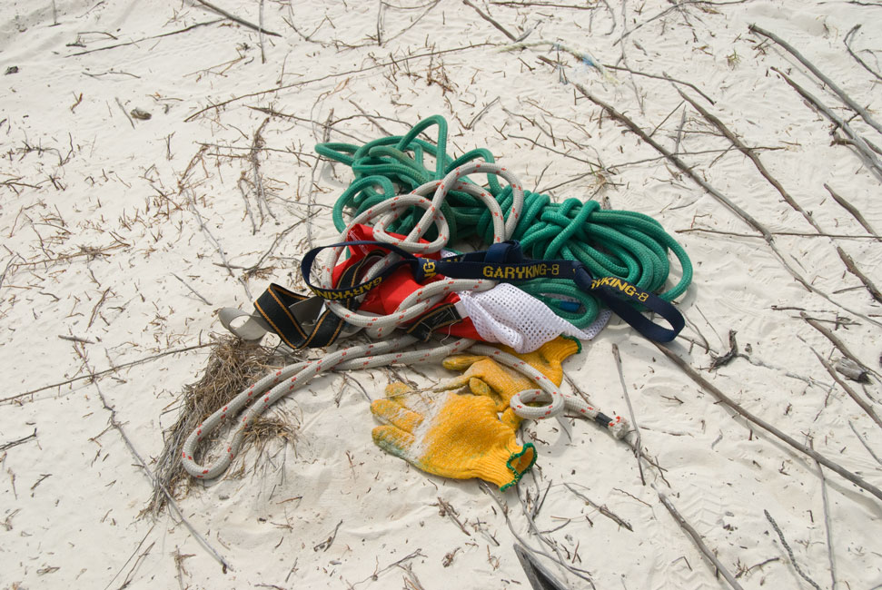
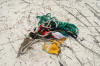
Equipment Hunter brought along -- but mostly didn't use -- in order to skinny up the palm tree
|
|
|
|
When trunk proves too smooth to scale (too many previous raiders), other means are employed
|
|
|
|
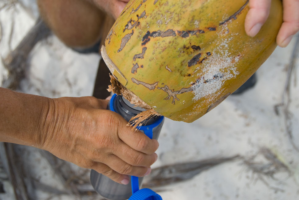
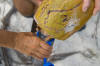
Hunter cuts open one of his prizes
|
|
|
|
Collecting coconut water
|
|
|
|
|
|
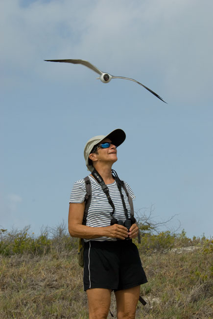
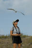
Devi being buzzed by protective Laughing Gulls
|
|
|
|
Palm grove where water pits are found
|
|
|
|
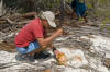
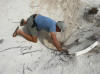
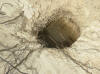
Hunter digs for water at the bottom of one of the already-present pits
|
|
|
|
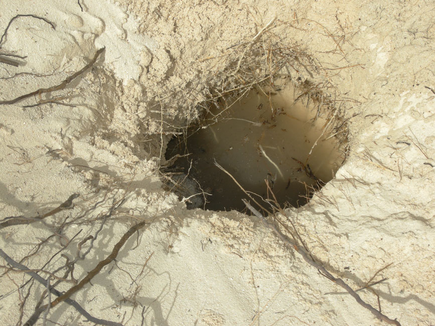
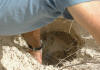
He soon finds water
|
|
|
|
... and this is how it looked
|
|
|
|
|
|
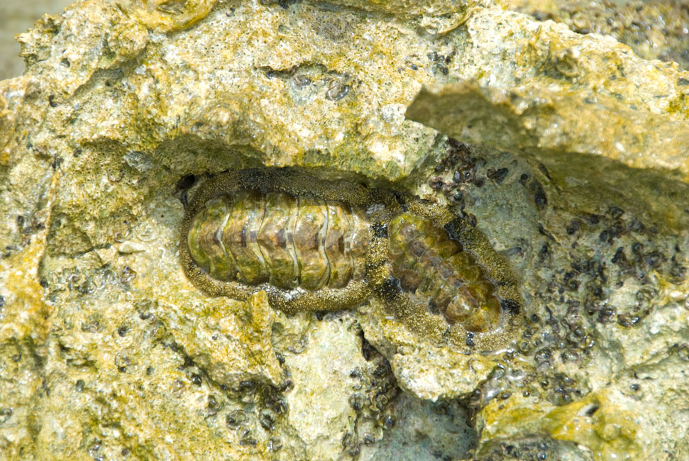
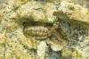
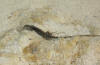
Chitons
|
|

|
|
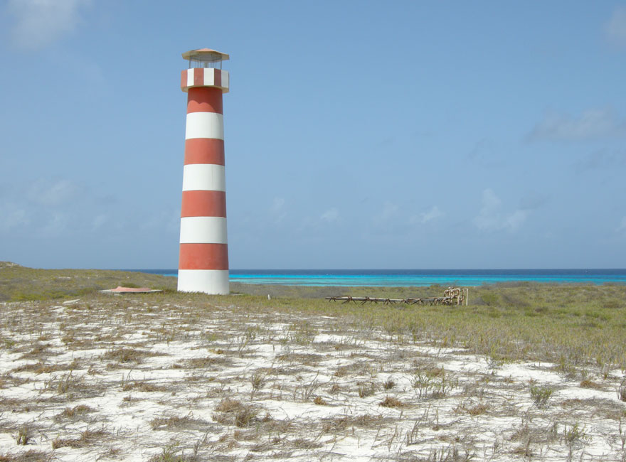
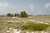
Lighthouse on West Cay
|
|
|
|
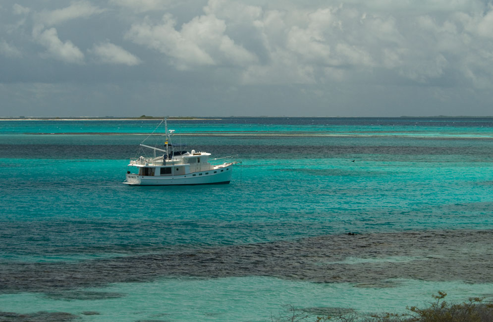
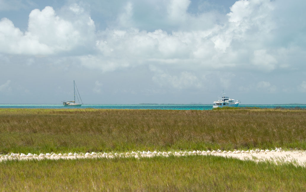
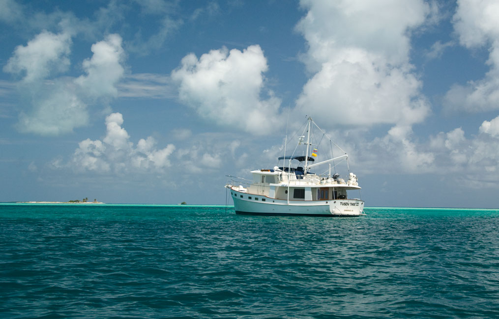
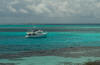
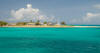
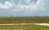
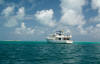
Tusen Takk II in the Cayo de Agua anchorage
|
|

|
|
Another view
|
|
|
|
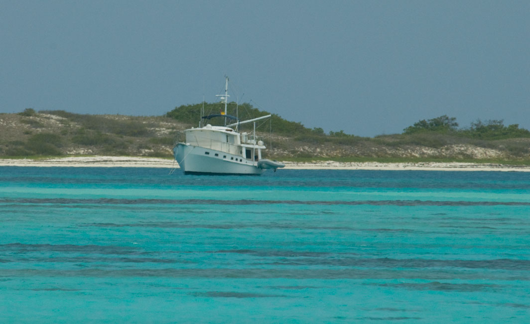
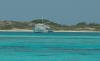
Telephoto shot of TTII from east end of Cayo de Aqua
|
|
|
|
|
|
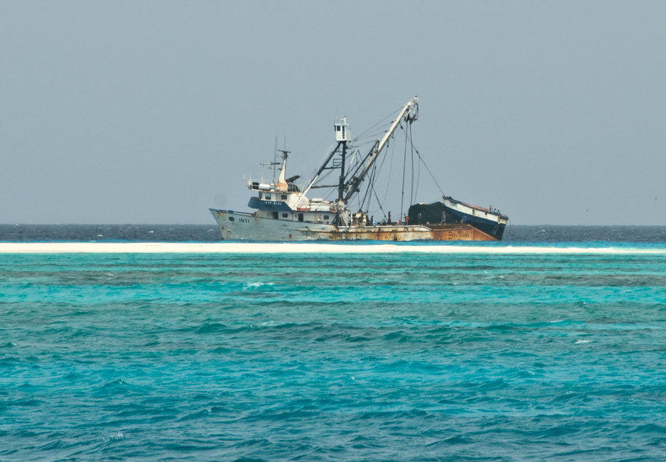
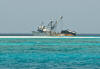
As we left Agua, passing by the spit connecting it to West Cay, we saw this commercial fishing boat at anchor on the other side
|
|
|
Isla Carenero
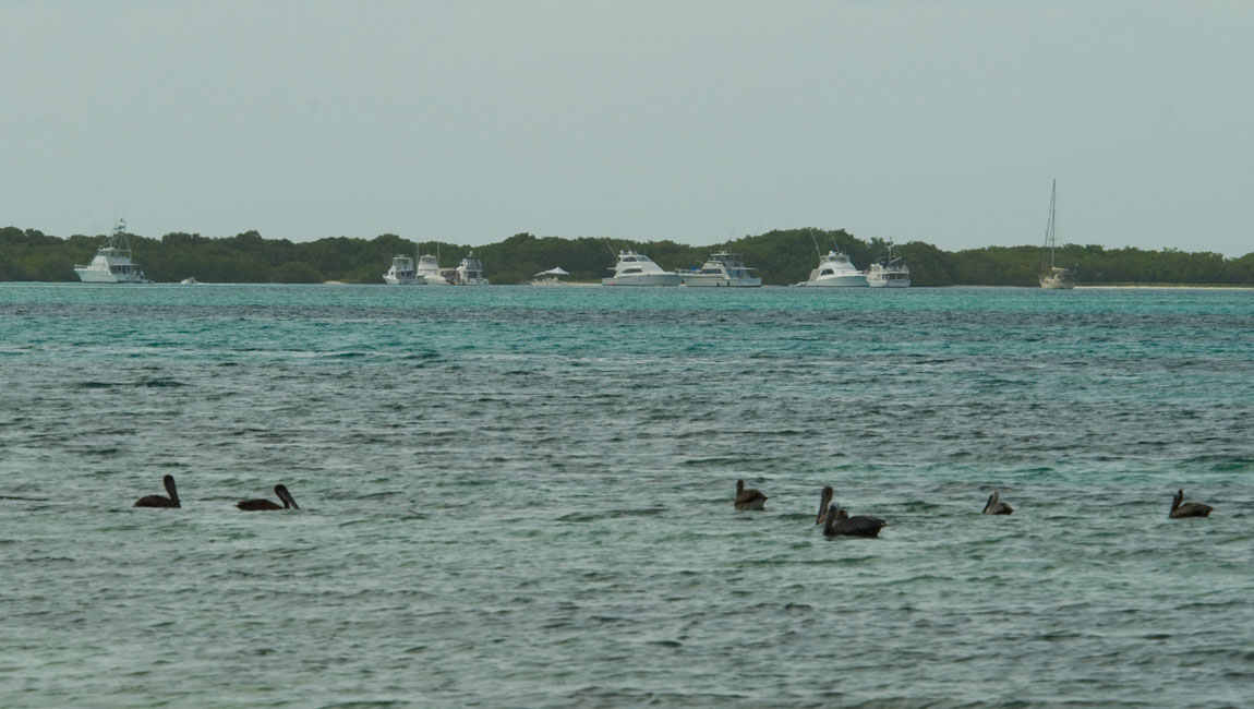
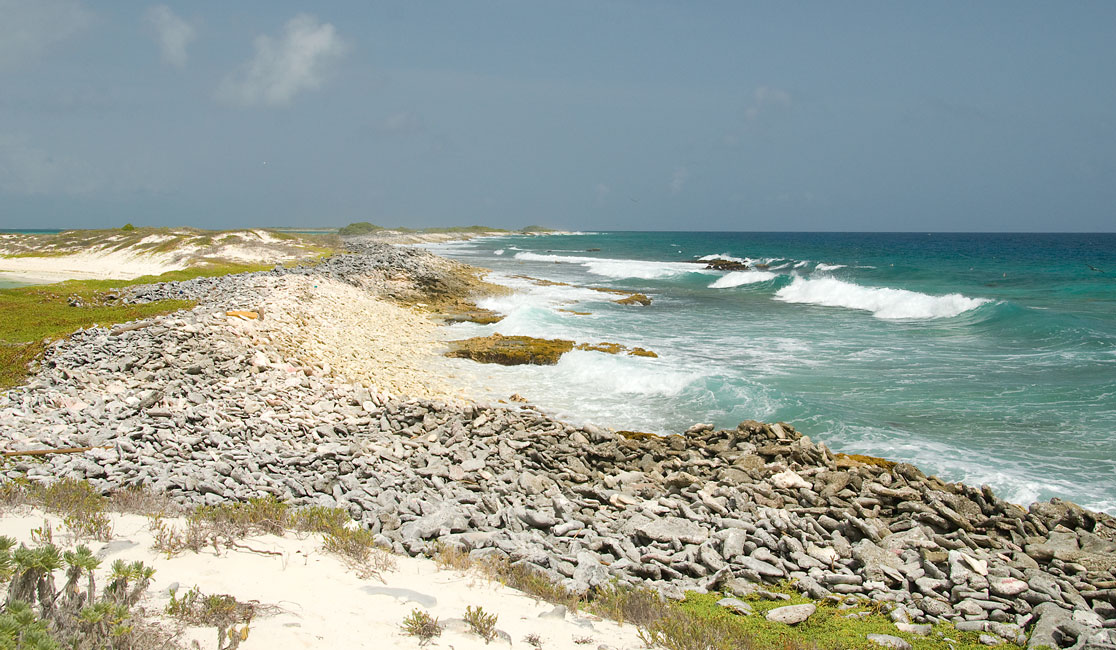
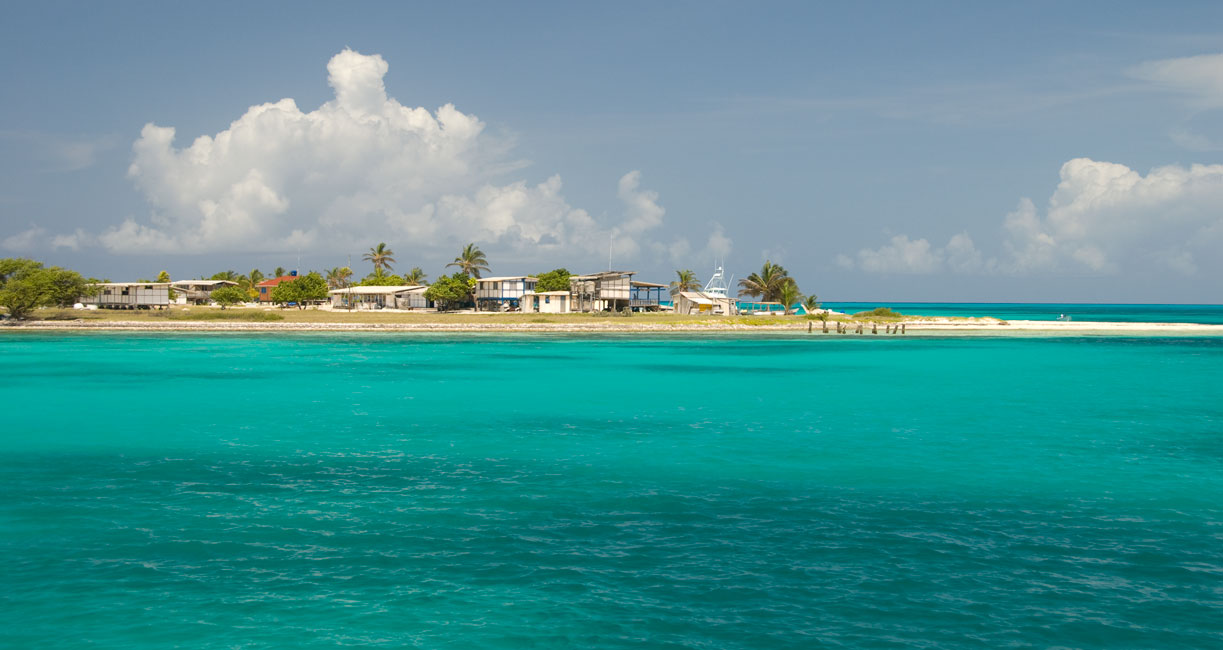
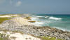
On July 3 we moved over to a small protected anchorage just off the east end of
Isla Carenero: Isla Remanso. Protected to the north and east by
mangroves, and to the west by a shallow reef, the anchorage is a popular spot
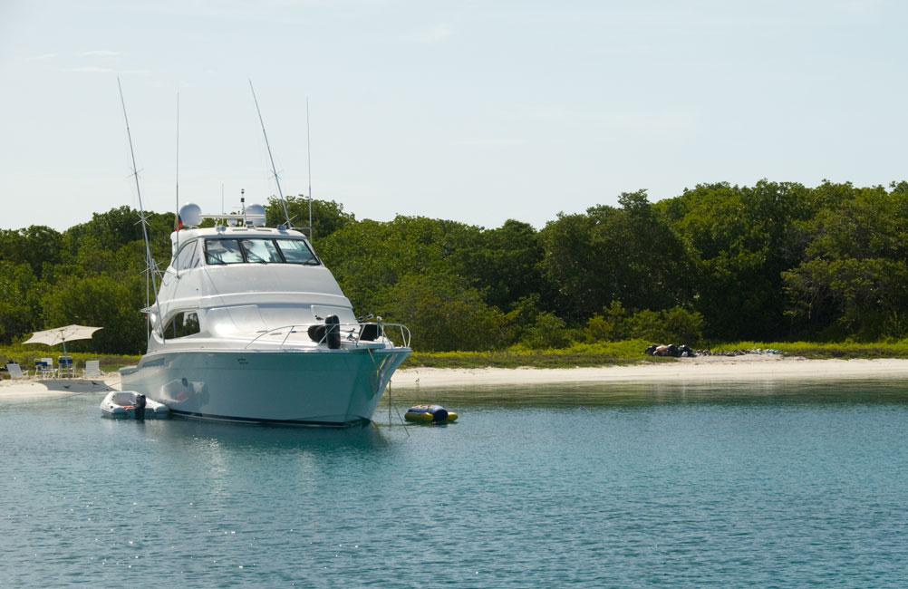
for yachts and fishing boats to settle for a while. There were three
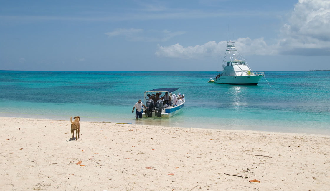
sportfish and one yacht when we arrived; later three more fast fishing boats
arrived. Some of the boats seemed to be occupied exclusively by
males out on a fishing expedition from the distant mainland; others were
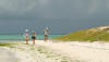
populated by extended families out on a holiday. We dinghied over to
Carenero for a long walk (and photo expedition), and also took the dighy out
around to the southeast corner of Remanso where we found some spectacular
snorkeling. Just adjacent to the near-shore band of coral was a milky
school of silversides that stretched for hundreds and hundreds of yards. Mindboggling to think of the numbers. Certainly worthy of a Carl
Sagen adjective or two.
|
|
|
|
Looking eastward from Carenero toward the distant anchorage on Remanso
|
|
|
|
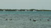
Telephoto view of Remanso anchorage
|
|
|
|
Sportfish and on the right garbage left by another boat on its departure
|
|
|
|
On their way to the smooth waters of Carenero
|
|
|
|
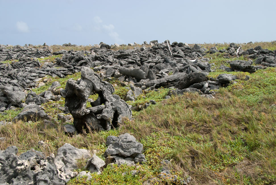
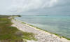
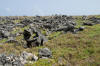
Coral debris on the windward side of Carenero
|
|
|
|
|
|
Windy northern shore of Carenero
|
|
|
|
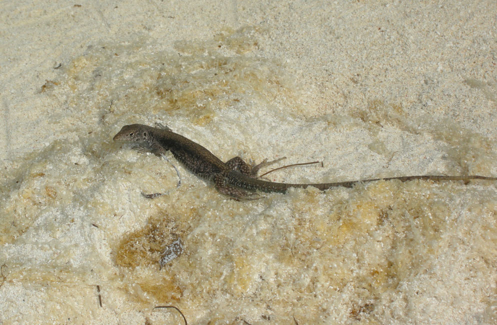
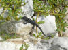
These black lizards are everywhere on these islands
|
|
|
|
Uncharacteristically light lizard
|
|

|
|
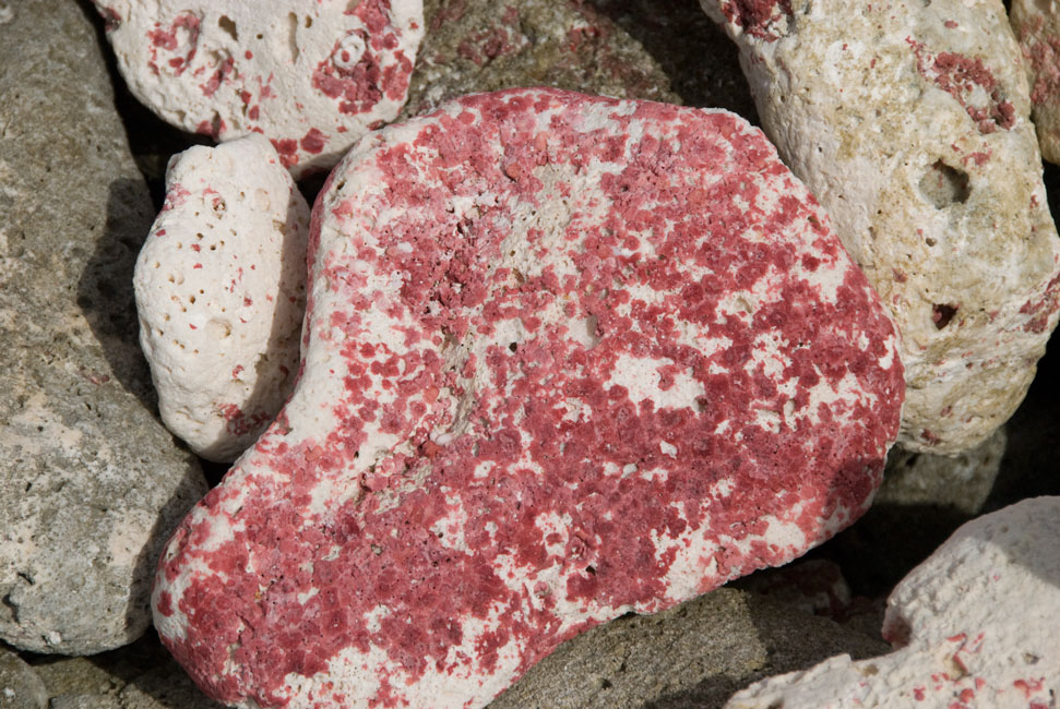
Red algae on coral debris
|
|

|
|
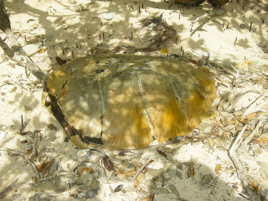
Turtle shell on the beach
|
|
|
|
|
|
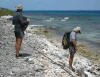
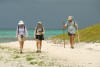
Walking back toward the dinghy...
|
|
|
|
...on Carenero
|
|
|
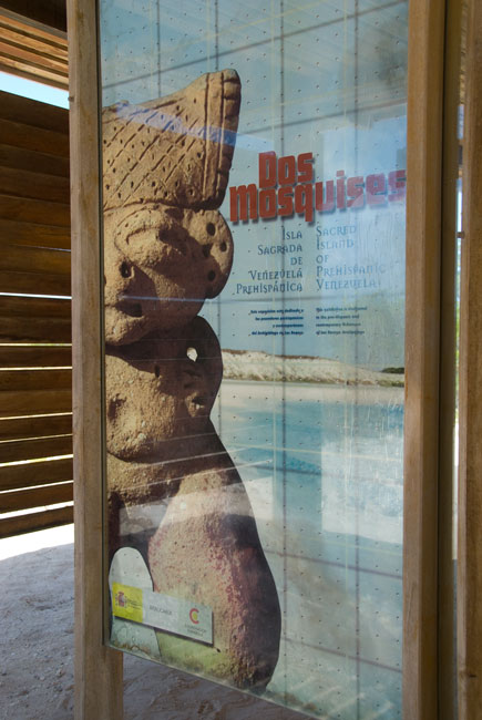
Dos Mosquises
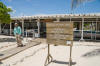
On July 5 we moved yet again -- this time to the small islands of Dos Mosquises.
The significant site of an ancient settlement of Amerindians that came from the
mainland and stayed to harvest conch, Mosquises Sur now hosts a small landing
strip and a research center that focuses on the one hand on archeological
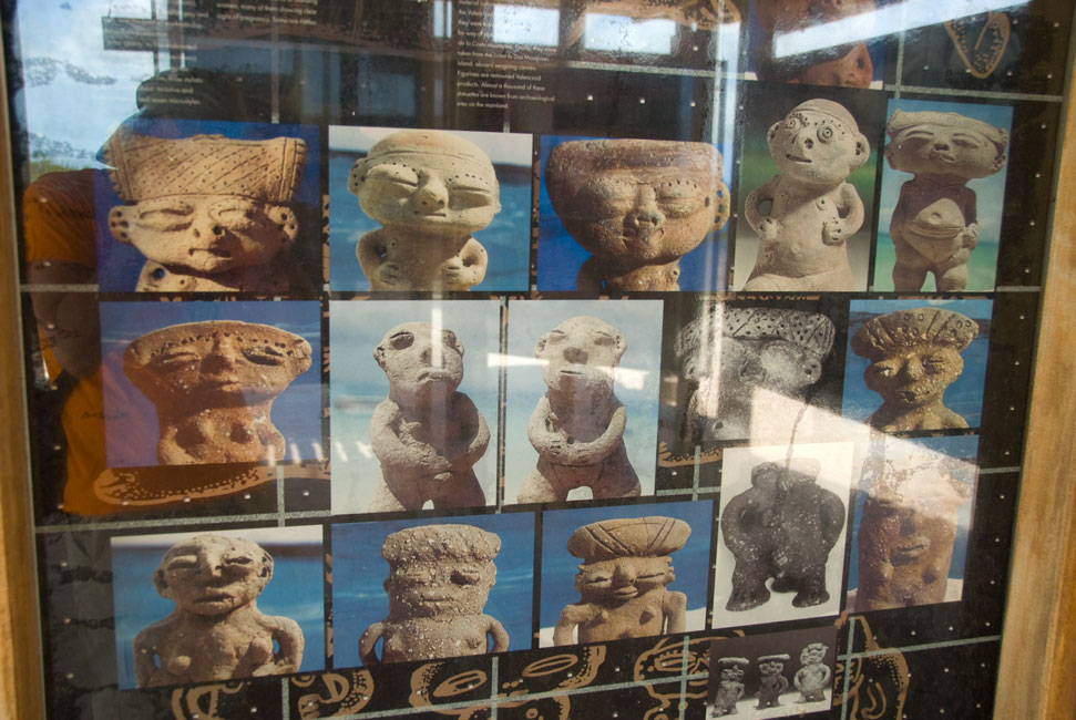
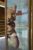
research concerning the Amerindians and on the other on marine biology. In connection with the former there is a remarkable display area whose panels
describe (in Spanish and English) the facts and presumptions concerning the
Amerindian settlement. Some of the panels picture figurines found on
the island -- figurines that identify the Indians that settled here as having
come from the inland Lake Valencia area in Venezuela. The marine biology
portion of the center features a number of buildings available as laboratories;
they were all vacant on our visit. But there was a large active area in
which turtles from center-hatched eggs are kept until they are one year old and
then released.
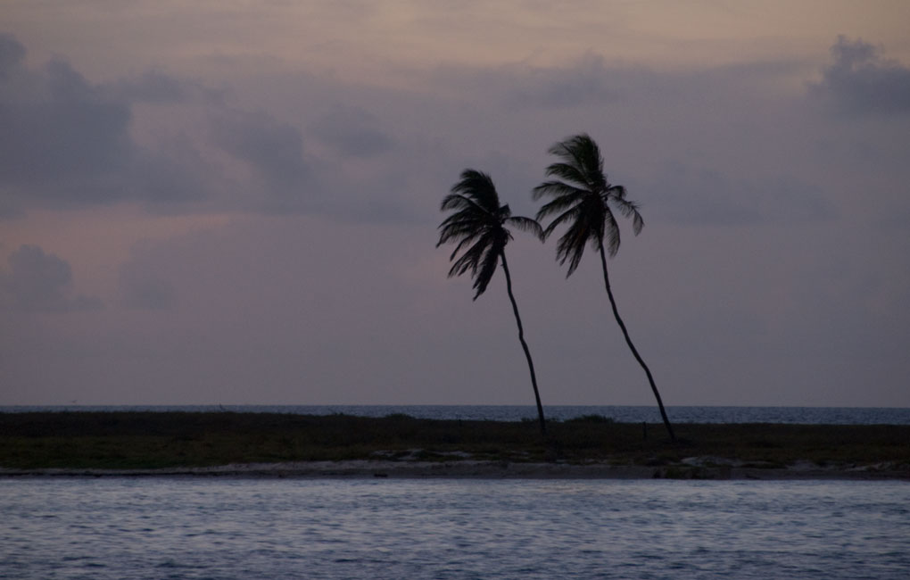
The second Mosquises island, just to the north of Sur, is called Tres Palmeras,
and it features two conspicuous palm trees that huddle together like pre-teen
girls, viciously excluding the third which sulks way off in a corner.
|
|
|
|
Research Center seen from our anchorage
|
|
|
|
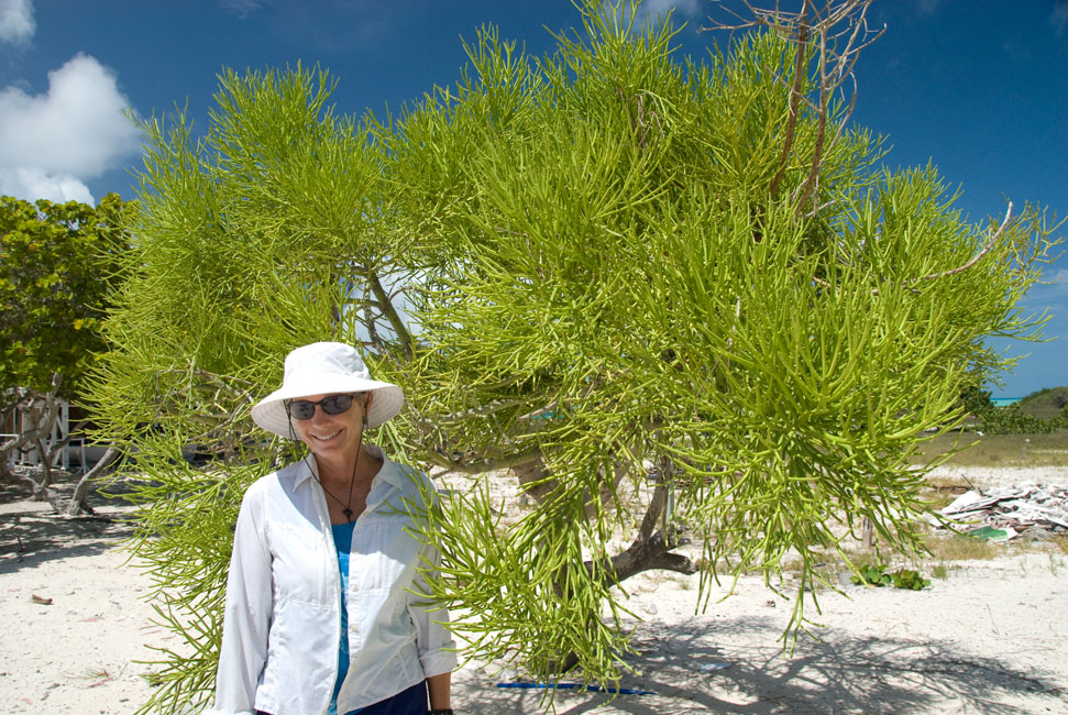
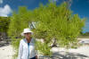
Barb poses beside interesting foliage at the Center
|
|
|
|
Turtle shed
|
|
|
|
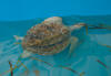
Green turtle
|
|
|
|
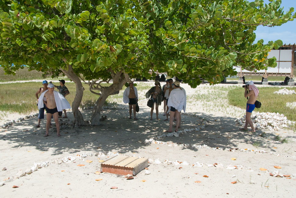
Visitors from China arrive at the Center
|
|
|
|

|
|
They pause in the shade behind the turtle shed, and opt to NOT follow the sunny path to the archeological display
|
|
|
|
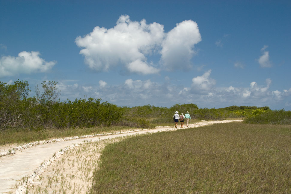
But we follow the well-tended path ..
|
|
|
|
... and look back briefly at our vessels ...
|
|
|
|
... before arriving at the extremely informative ...
|
|
|
|
... and well-done photographic and textual displays
|
|
|
|
|
|
dos of the tres palmeras (at dusk)
|
|
|
|
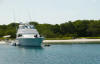
Tusen Takk II in the Dos Mosquises anchorage
|
|
|
Return to Home Page