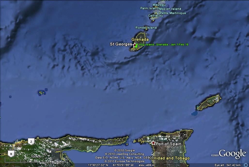
 Grenada: January 1-February 8, 2010
Click on the above thumbnail for a map during this time period
On January 2nd Barb flew to Las Vegas to help her folks deal
with the tragic news that her mother had untreatable pancreatic cancer. I stayed with the boat, which was in the anchorage at Hog Island.
Jan. 15
Almost two weeks after Barb's departure, high school friend Curtiss
Durand and his companion Roseanne flew in for a short visit. They had been
vacationing in St. Lucia, but Curtiss had so enjoyed, on his last visit to me,
the tour of Grenada given by Cutty, that they decided to come on down so
Roseanne could have the experience. I have already had Cutty's tour
THREE times, so I stayed on the boat. :-)
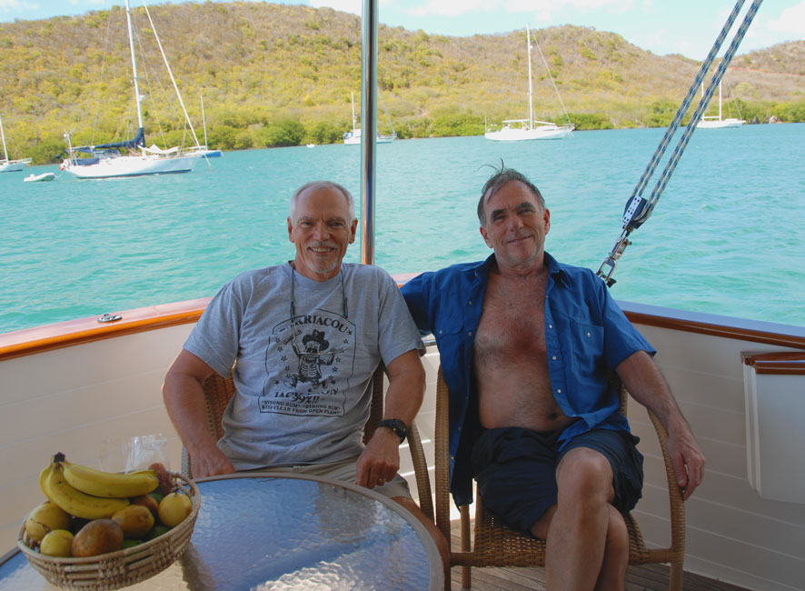
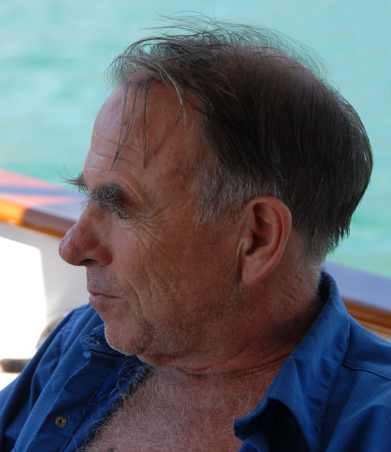
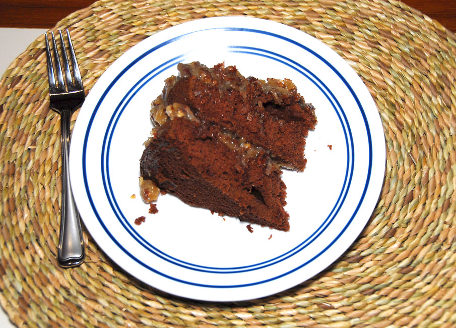
Jan. 17 -- Celebrating Hunter's birthday
Ann on Receta and Devi on Arctic Tern were also gone for a
spell, so we three boys bachelored together quite a bit. Shortly before
Devi's return, Hunter's sister Brooke and her husband Woody arrived for a visit,
and since it was Hunter's 60th birthday, I had them and the boys over for a
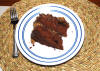
birthday dinner. Steve made up a mess of sea cat (octopus) that was
to die for, and I made a German Chocolate cake.
|
|

|
|
Birthday boy Hunter
|
|

|
|
Brooke and Woody
|
|

|
|
Steve enjoying the sea cat
|
|
|
|
Chocolate cake from the gods
|
|
|
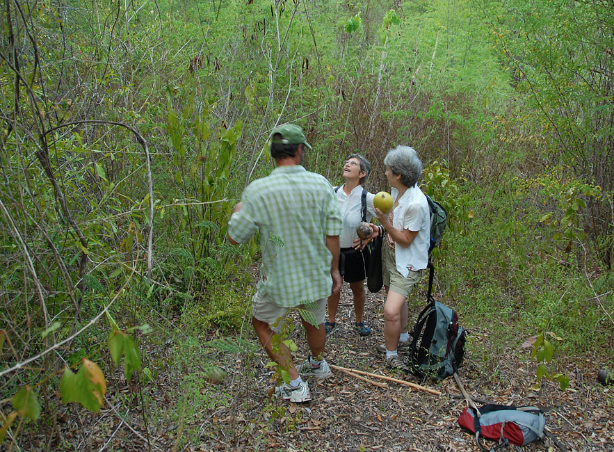
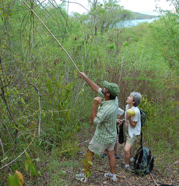
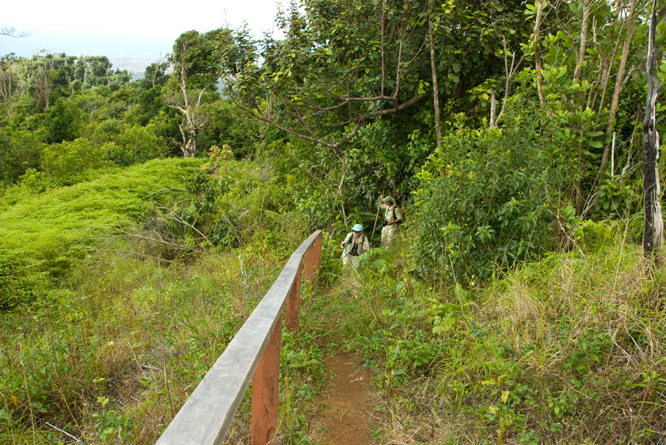
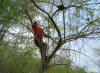
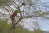
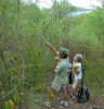
Jan. 27 -- morning walk
A few days after Hunter's birthday Ann and Devi returned, and we all customarily went for early
morning walks over the trails that the locals use as shortcuts over ridges.
I took my camera out w/ us on the morning of Jan. 27, knowing that our intended
direction that day would take us by an interesting grocery store front.
(Cf. picture below.)
|
|

|
|
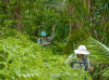
Gathering ...
|
|
|
|
... calibash ...
|
|
|
|
... for Receta ...
|
|
|
|
... assisted by the ground crew ...
|
|
|
|
... who would make bowls of the gourds
|
|
|
|
|
|
Rum shack on top of ridge -- owned by fisherman Stevie's sister
|
|

|
|
Steve and Ann chat w/ Charlene, rum shack owner
|
|

|
|
Next to the rum shack is the home of Stevie and his parents and some of his siblings
|
|
|
|
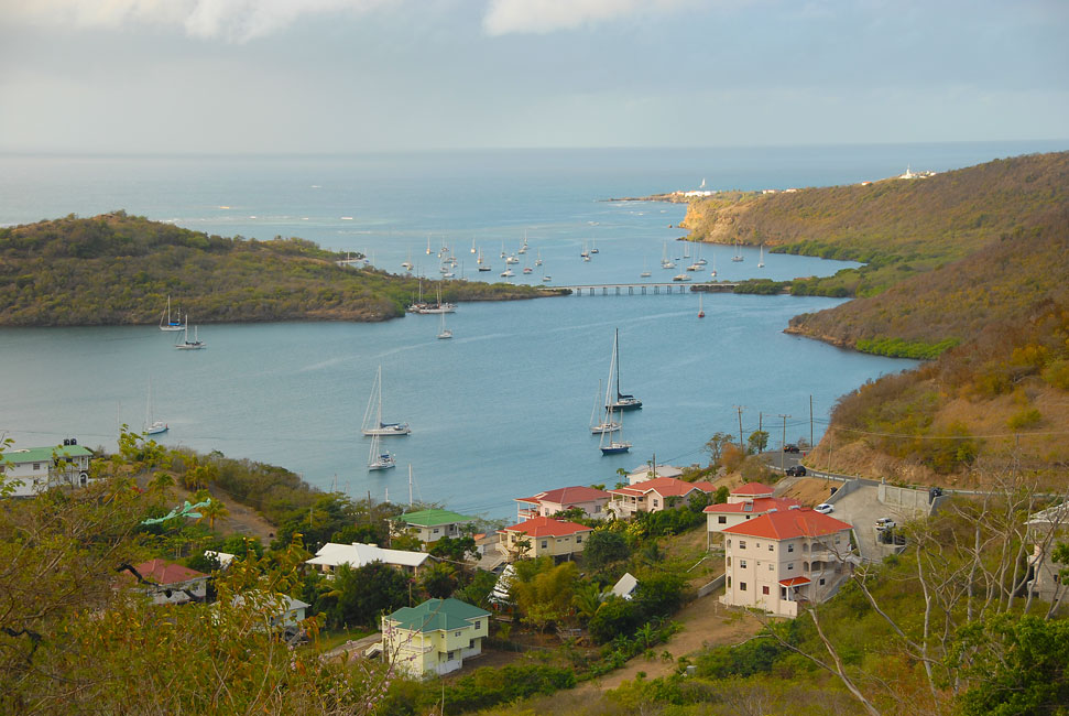
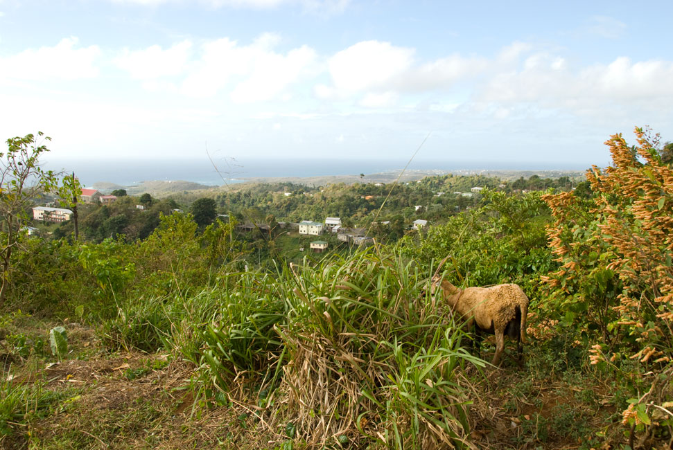
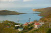
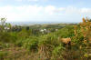
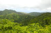
Looking down from Stevie's: Clarke's Court Bay closest and Hog Island Bay on other side of bridge
|
|
|
|
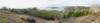
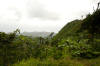
Panorama from Stevie's
|
|
|
|

|
|
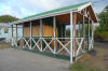
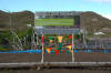
Interesting store up on a ridge
|
|
|
|
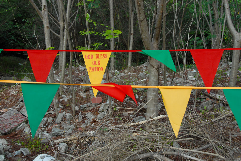
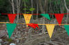
Flags decorating a road pull-over near mangroves; Independence Day was near
|
|
|
|
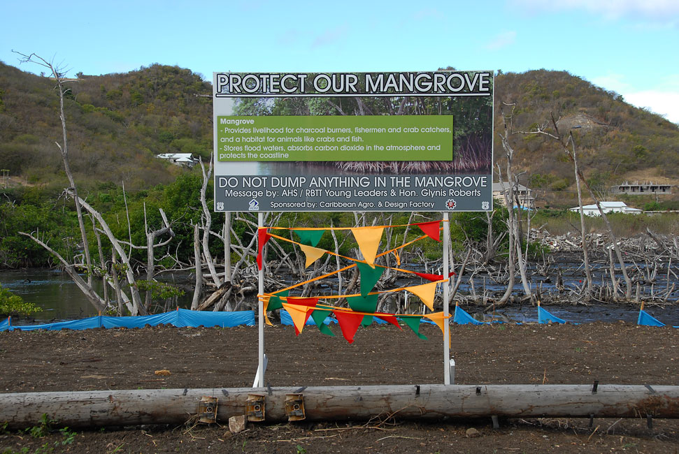
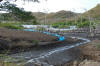
We think this will become a road-side park
|
|
|
|
They cut down the mangroves to make a mangrove-appreciation park!
|
|

|
|
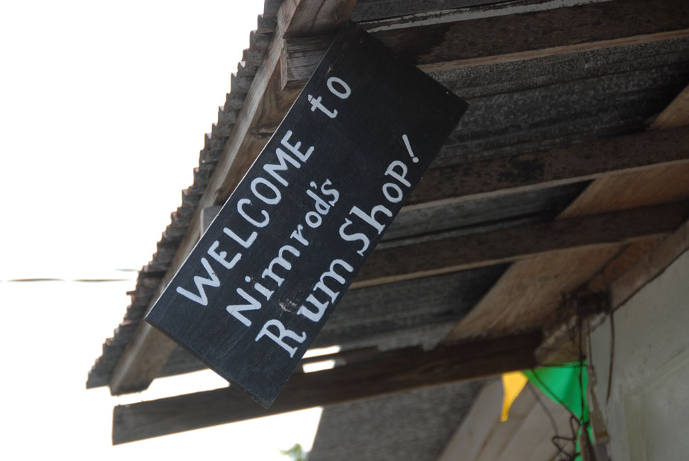
Sign of disrepair at Lower Woburn's most famous rum shack?
|
|
|
|
|
|
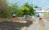
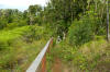
New garden and parking spaces being constructed on the approach to Whisper Cove
|
|
|
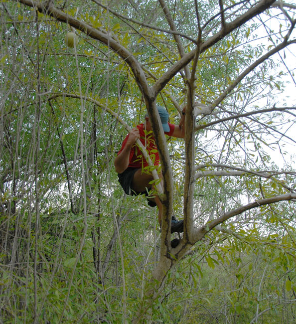
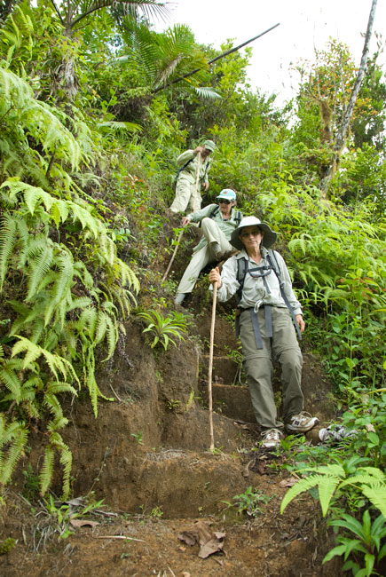
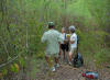
Jan. 28: first attempt at hike to Apres Tout
We had learned from the Forestry Service of a recently-created trail that
runs from the antenna farm near Grand Etang to the high village on the
southeastern side of the island: Apres Tout. The hike would
allegedly take 4 hours. And so on the morning of Jan. 28 we caught at
Lower Woburn one of the #2 maxi-taxis into the bus station at St. George's, and
there shifted to the #6 that goes through Grand Etang. A short hike up a
side road to the microwave farm, and at 8 AM we were off into the lovely and
lush rain forest. The occasional light rain notwithstanding, we all
decided this was one of our most enchanting hikes. Indeed, the
moisture added sparkle and glisten to the thick and varied vegetation, even as
it also rendered the surface of the trail a treacherously slick orange muck. Soon, most of us had muddy bottoms from having had our heels fly out from under.
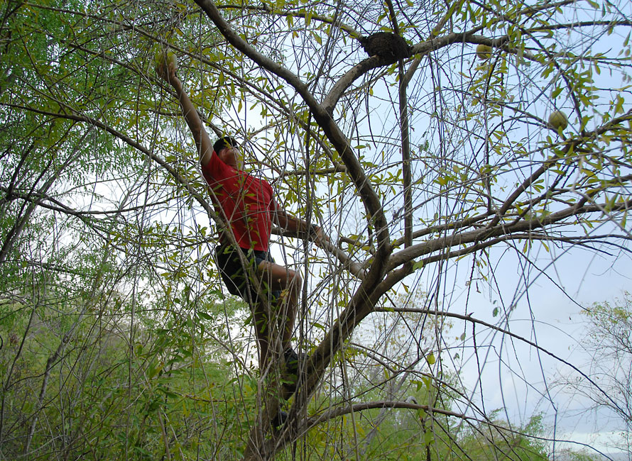
Three hours into the hike, we arrived at a tee formed by our trail intersecting
at right angles another trail. Should we go to the left, which was
perhaps 120 degrees off from our intended destination, or should we go right,
which headed up a ridge and appeared to parallel back the way we had laboriously
come? Hunter explored left, and I explored right. We each found trails that were thick with overgrowth and appeared little-used,
and we each came back hoping the other had better news. In the end,
we chose the left trail. A short way down that left trail, we noticed a
"Y", and Hunter reported that he had taken the left branch on his earlier
exploration. And so we took the right branch, and were soon relieved when
the trail opened back up and appeared more trafficked. We stopped for
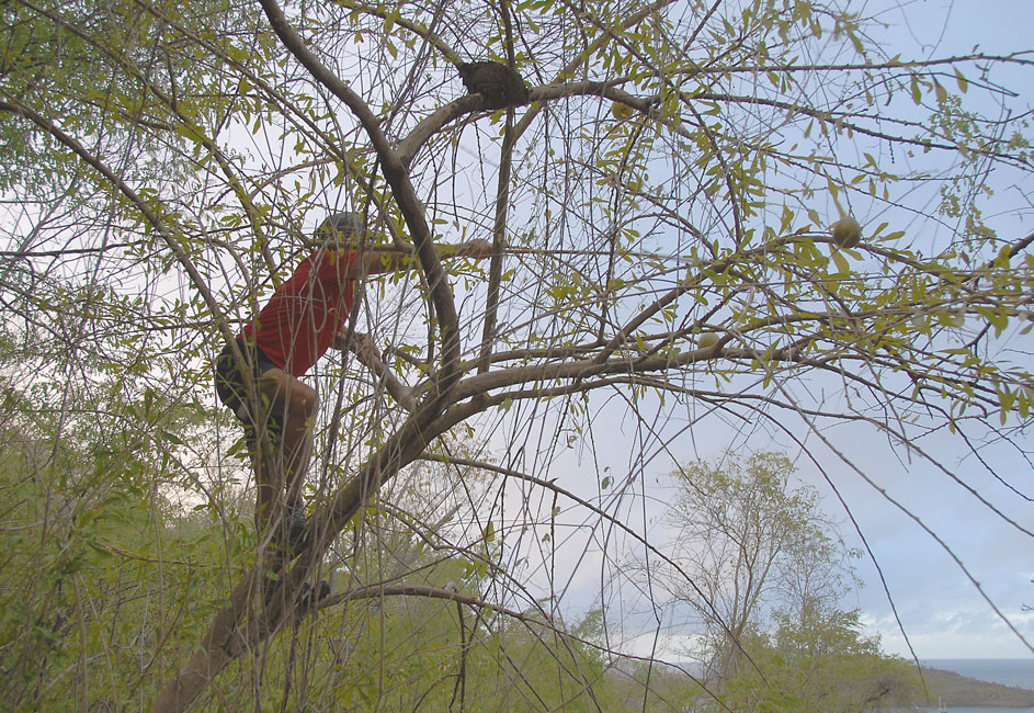
lunch at about 12:30 PM, already 4 1/2 hours into our "4 hour hike". About
an hour later the trail suddenly stopped in a tangle of hurricane Ivan-downed
trees. We were following a narrow ridge line, and our presumption was that
the trail continued on the other side of the tangle. The only two equipped
with machetes, Hunter explored to the left of the tangle, and I explored to the
right. No joy. The tangle extended to the end of the ridge, where the
mountain then tumbled precipitously with no sign of a trail. It took us
each quite a while to make our way back through the tripping vines and
obstructing logs. When we all gathered again, we discussed our
alternatives. We saw three: go back
to the original Tee and take the right branch up the ridge, or retrace our route back to the
antenna farm, or bushwhack down the slope in the direction toward where we
believed we would find the main road that runs along the eastern coast. We unanimously decided to bushwhack, given the uncertainties of the "right
branch" and the distance and slippery conditions of the return route. It was about 2 or 2:30 when we began to reconsider. Our progress was very
slow. If we turned around at that point, at best we could make it back to
the antenna farm before dark, and at worst we would be on the "easy" part of the
trail near the farm when we lost our light. Either of these alternative
seemed preferable to spending the night in the woods. So we turned around. We arrived back at the farm at about 6 PM. We had called ahead to
our favorite taxi driver, Mike, and he met us where the side road hit the main
road through Grand Etang. Had we realized how much maxi-taxi traffic there
would be, we could have saved a few pennies by just hailing one or several of
the not-completely-full taxis that gawked as they passed by we five muddy white
folks standing in the mist on the side of the road. Mike had been warned,
and he came prepared with a roll of garbage bags that we strategically donned so
as to protect his upholstery. All told, the hike had taken 10 hours,
and we had not even gotten close to Apres Tout. We were tired and hungry,
and decided to call ahead and ask Ms. Kitty at Clarke's Court Bay Marina to
prepare some pizzas for us. Pizza and cold beer: a welcome
consolation.
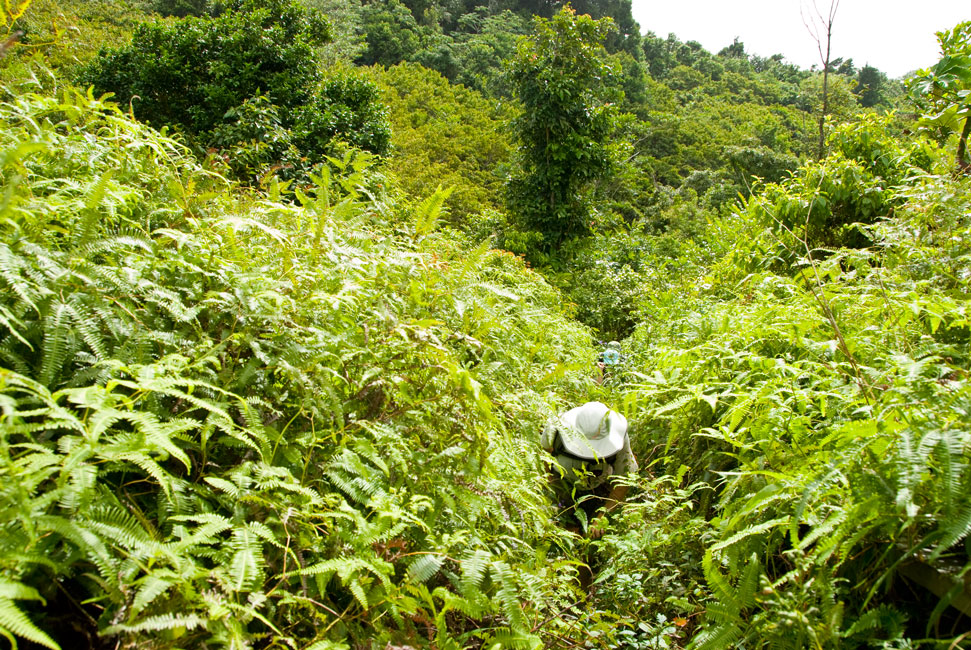
Because of the rain/drizzle for much of the trip, I only got a few pictures.
|
|

|
|
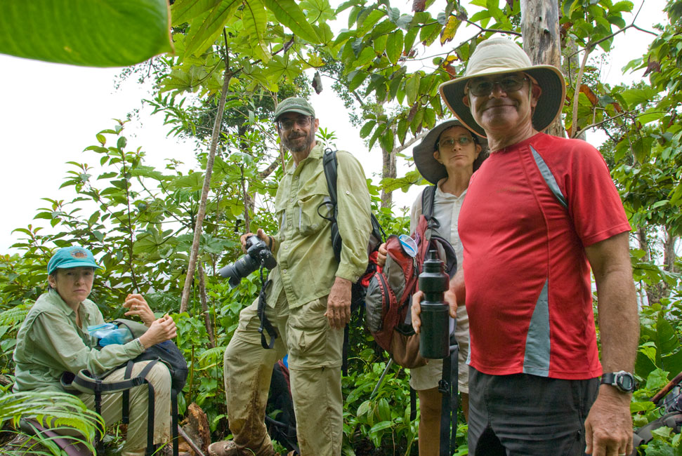
A break for lunch during a lull in the drizzle.
|
|
|

|
|
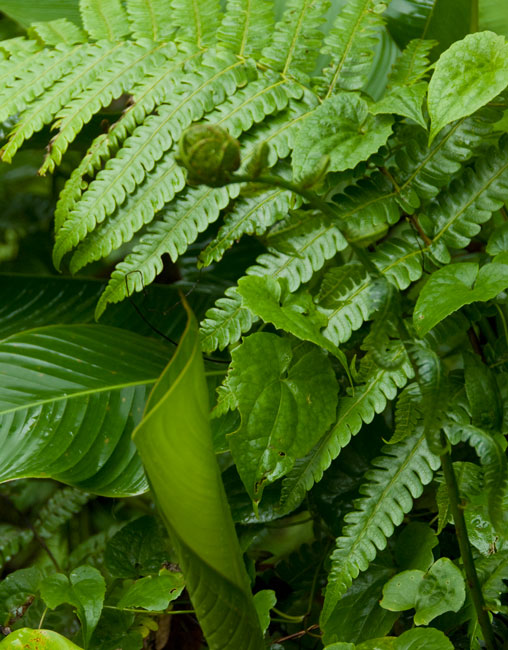
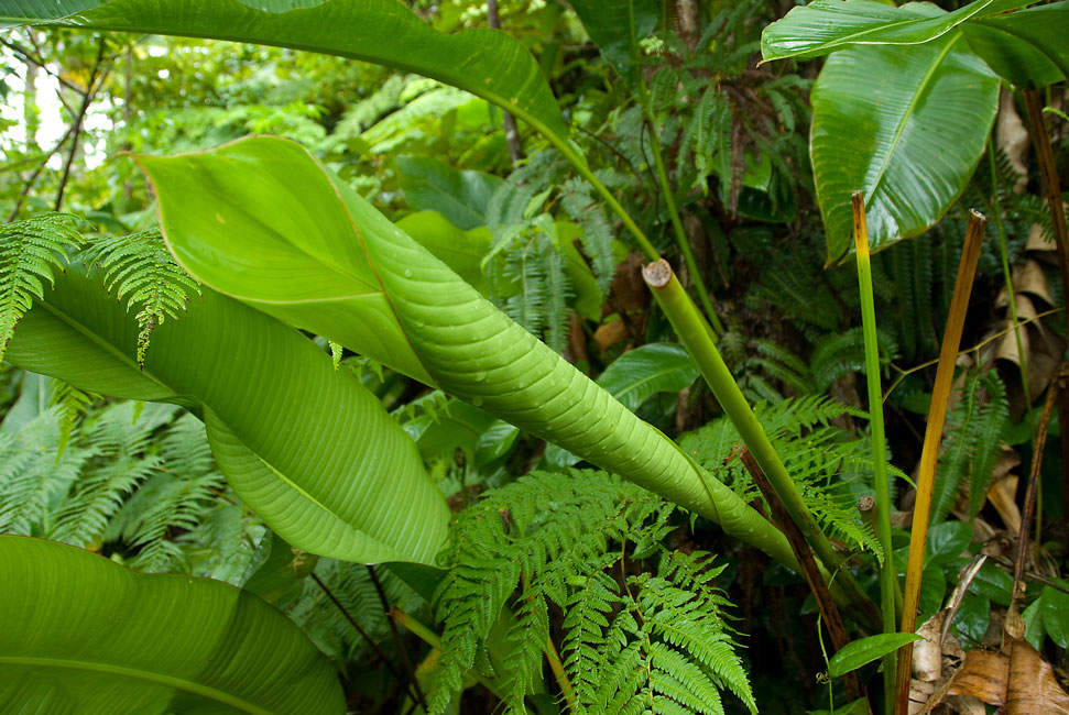
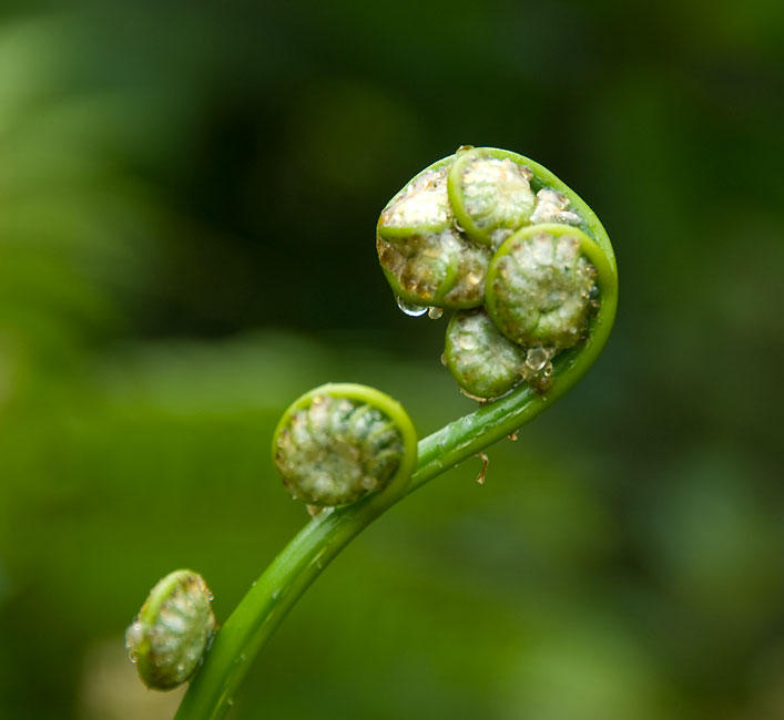
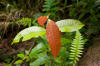
Big broad leaves emerge as a coil that subsequently unwraps
|
|
|
|
|
Feb. 3: second attempt
During an excursion to St. George's, Hunter stopped in again at the Forestry
Service and discussed his experience on the Apres Tout trail. In
possession of new information, we all decided to try once again. But
this time we would start at the other end. So early on the morning
of Feb. 3 we walked up to the intersection called the "cliff" where the #2 bus from St. George's to
Grenville branches from the route taken by the #2 bus to Woburn. There, we caught the bus toward Grenville, explaining to the driver that we
wished to be let off at the road that leads up to Apres Tout. The
steep road up was filled with school children on their way down to their
lessons. We passed a collection point where trucks were bringing in
sacks of "wet" cocoa beans, meaning that the masses of white slimy (but good to suck on!)
beans had been removed from their outer dry husks. The locals were
friendly and eager to help direct us along the branching roads toward the
trailhead, which we found to be well-established and maintained and complete
with handrails and steps! Of course, the further we went, the less
well-maintained the trail became. The trail followed a ridge that
ran northward to the east of our tangle from our previous experience, separated
by a deep plunging valley. Eventually, we plunged partway down into
that valley, with the help of thick ropes that had been put in place by the
trail maintainers, onto a lesser ridge that ran toward
our route of the 28th. Three hours into the hike, we encountered
that path. Where did it intersect? At the left branch of
the Y, the branch Hunter had briefly explored but that we had not taken because it appeared to be overgrown and in
the wrong direction to boot. As we paused for lunch, we considered
whether to return the way we had come, or to continue to the antenna farm. Either way was about 3 hours. It started to rain. Remembering the slickness of the trail toward the antenna farm, we elected to
turn around and go back to Apres Tout. Counting our walk to and back from
Lower Woburn to the cliff, we had hiked for 8 hours. And so, after two
attempts, we had traversed the trail from the antenna farm to Apres Tout -- in
fact had covered each portion twice -- and could now say that the trail was not
a 4-hour trail, but rather a 6- to 7-hour trail. One day we will do it
again as it should be done, all the way from Apres Tout to the antenna farm.
|
|
|
|
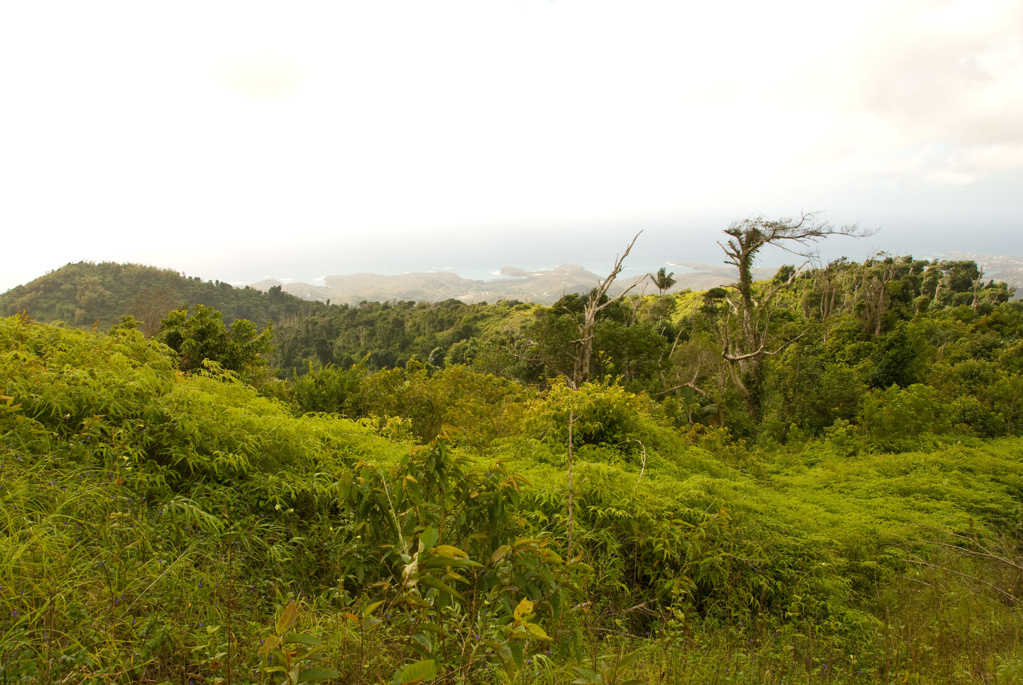
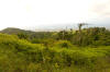
View from the road up to Apres Tout
|
|

|
|
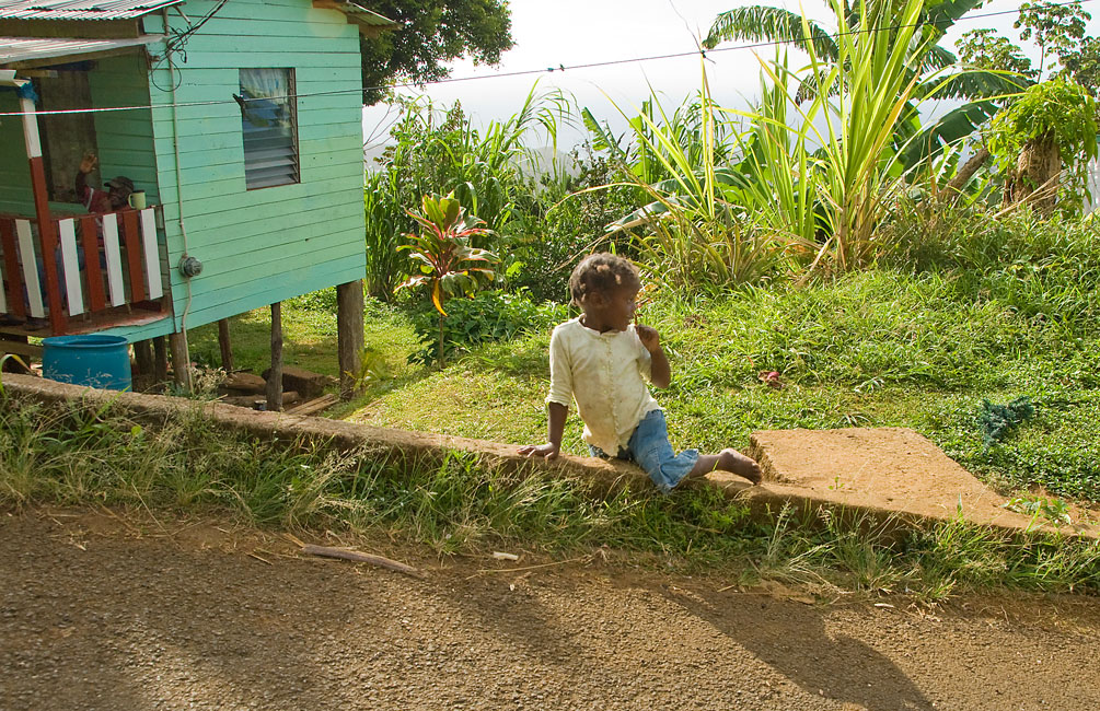
Young girl along the road to the trailhead
|
|

|
|
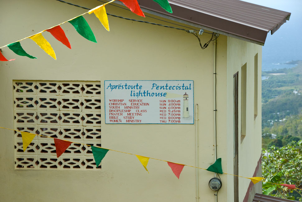
Land-mark church near the trailhead
|
|
|
|
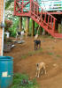
Very unfriendly dogs at the trailhead
|
|
|
|
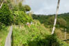
Handrails at the start of the trail didn't last the entire way
|
|
|
|

|
|
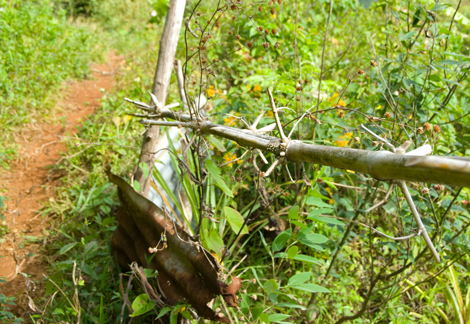
Barbed branch instead of barbed wire
|
|
|
|
Early view into a valley from the trail
|
|
|
|
Looking east from the early trail
|
|

|
|
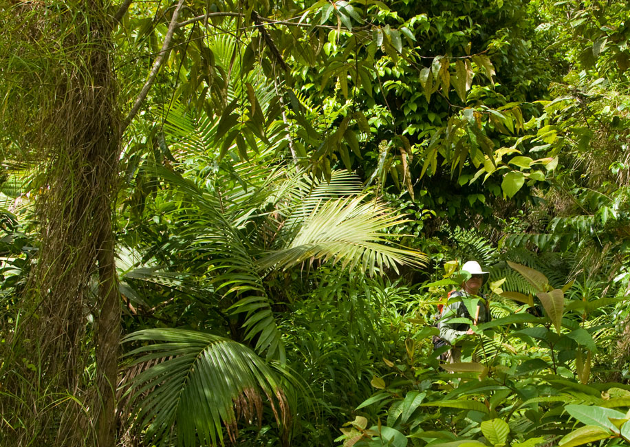
Hunter is usually the point man
|
|
|
|
Colorful leaf on the trail
|
|
|
|
|
|
Ann and Steve
|
|
|
|
An interesting boulder and Ivan-destroyed trees across an early valley
|
|

|
|
Coming down the steep descent to a lower ridge
|
|

|
|
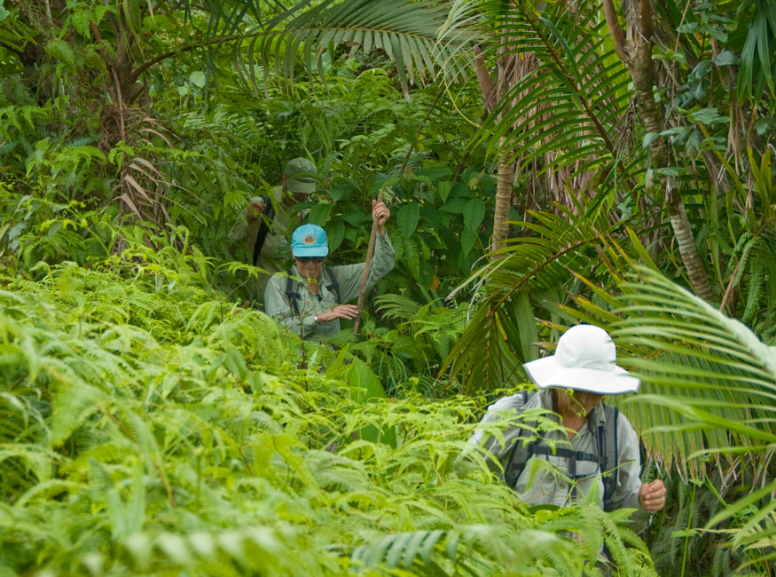
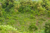
Several hours into the hike the trail became overgrown
|
|
|
|
Pushing through the overgrown trail
|
|
|
|
|
|
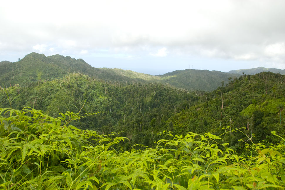
The antenna farm in the faint distance -- starting point of our former hike
|
|
|
|
Textures and greens up on the trail
|
|

|
|
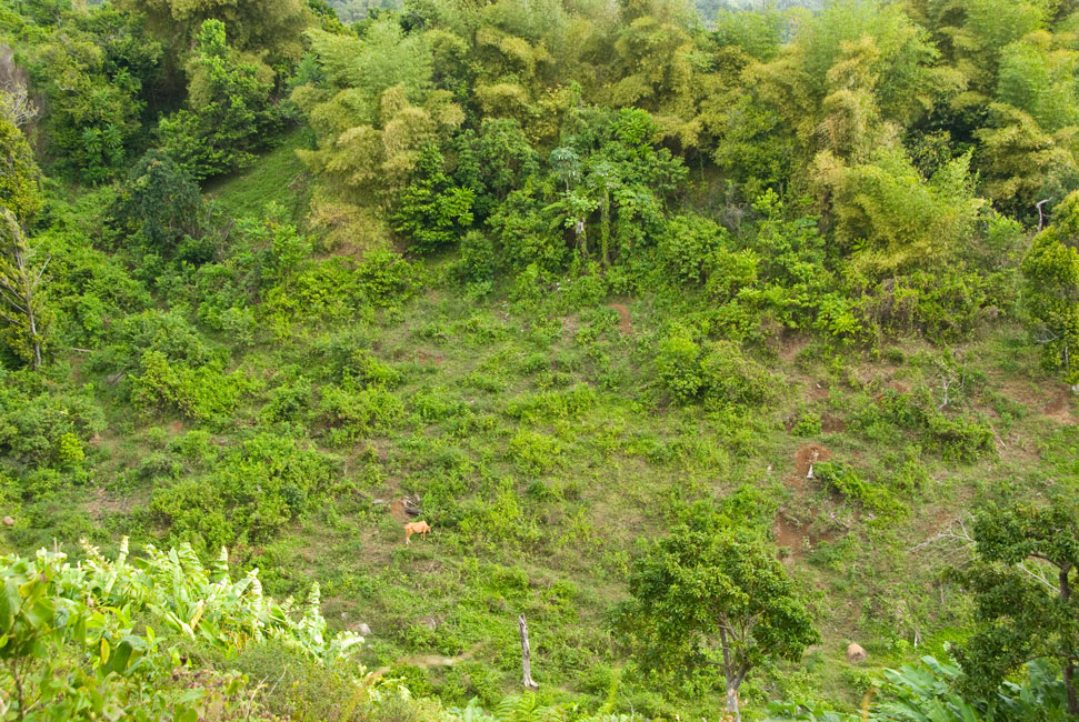
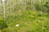
Panorama of the territory of our first attempt
|
|
|
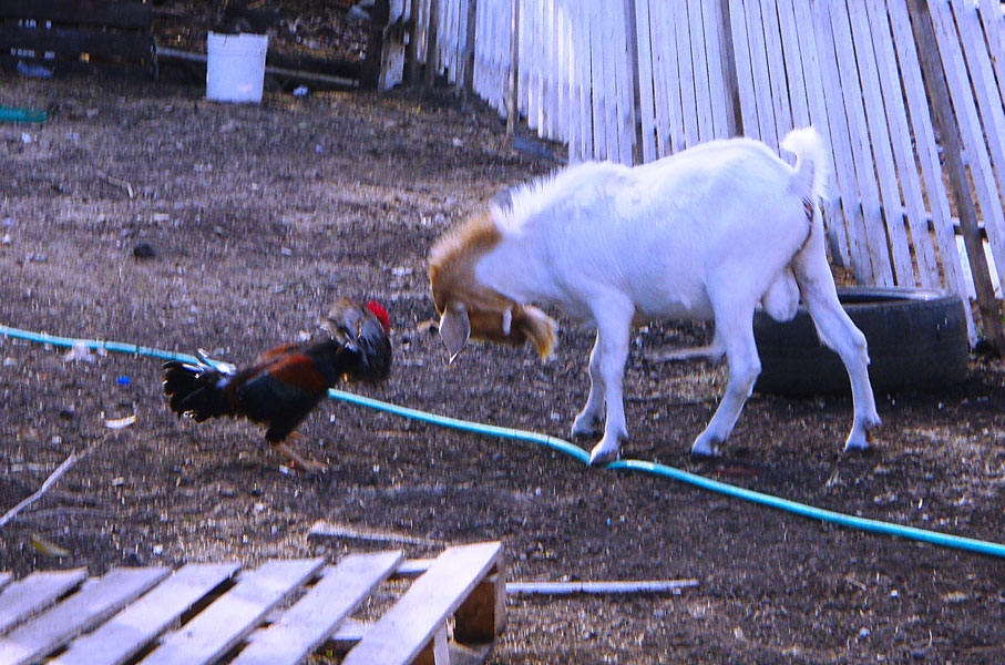
Feb. 6: goat vs. rooster
On our morning walk one day as we passed by Jonathan's house and animal pens,
we saw something remarkable. A billy goat had gotten out of his pen and
was attempting to reach up over a fence to eat some of the greenery on the other
side. Mr. Rooster objected to the invasion of his yard, and attacked the
goat! We were entertained by the duel between beak and horns until
Jonathan's scold out the window settled things down. (Picture by Devi
Sharp.)
On Feb. 7, Barb's mom passed. I had taken Tusen Takk II into
Clarke's Court Bay Marina on the 5th, and so I was ready to fly out and be with
Barb in Las Vegas on the 8th.