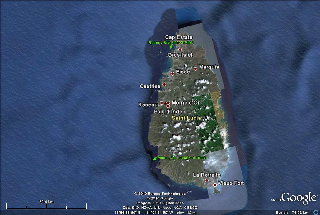
St. Lucia: February 24 - March 1, 2010
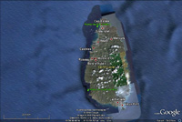
Click on the above thumbnail for a map during this time period
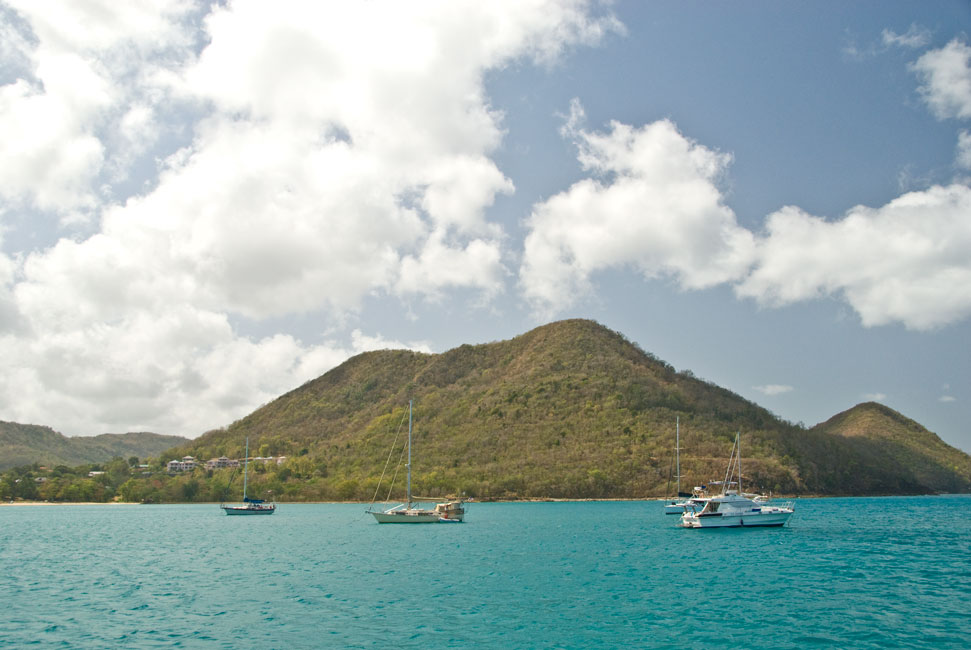
On Feb. 24 we left Harmony Beach and travelled up to the other
end of St. Lucia, where we settled in on the southern side of huge Rodney Bay,
out in front of Rex Resorts, but not too close to the beach or the near-shore
jet skis. From there we were able to get a sometime wifi signal.
We found Marty and Deb (Bay Pelican), cruisers on a Krogen 42, at the
north end of the bay, and several nights later had them and the Terns
over for evening sundowners.
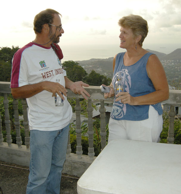
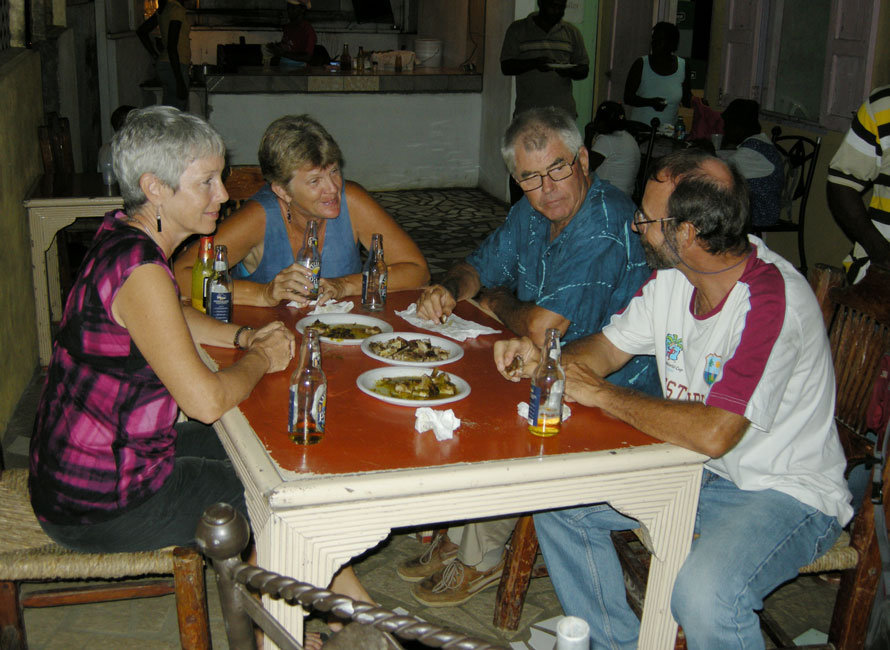
Pork Palace
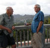
On Saturday, Feb. 27, Steve (Receta) rented a car and drove Don and
Heather (Asseance) and Barb and I up into the interior of the island to a
local establishment called The Pork Palace. They serve food only on Friday
and Saturday evenings. TTII and Receta had been there
before, and our memories of the delicious pork chops, cooked slowly over a
charcoal grill, liberally and repeatedly seasoned with a green sauce of their
own making, had us talking about returning ever since we had realized we would
both be on the island at the same time. Last time Ann had called ahead and
asked if she could have grilled chicken instead -- she doesn't eat pork -- and
this time Steve did the same for Barb. (Ann by this time was in
Toronto, promoting her new book.) So what else is on the menu? Umm. Well, on Friday nights they serve the pork w/ Johnny Cakes. On Saturday night, they don't. So what did we have besides the
pieces of pork chops, chopped with a cleaver and heaped onto a plastic plate in
bite-sized chunks. Umm. Beer! Does it seem strange
to have plate after plate of only pieces of pork, drowned in extra green sauce
thoughtfully provided at the table by the management? Maybe it
sounds strange, but after the first bite you would understand.
|
|
|
|
View from a flat rooftop adjacent to the Pork Palace
|
|
|
|
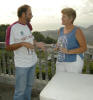
Chuck and Don enjoy a beer before the meal
|
|
|
|
Steve and Heather also enjoy the rooftop
|
|

|
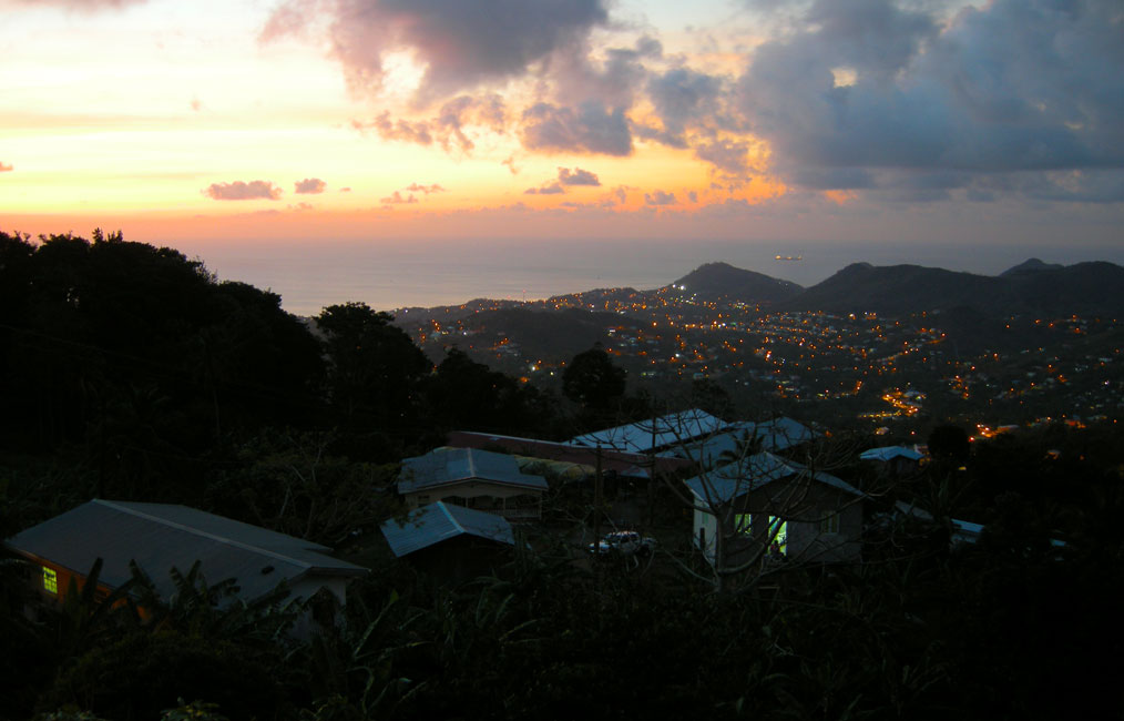
|
Soon it was dusk -- giving this view to the north
|
|
|
|
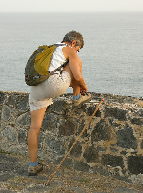
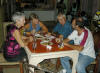
Eating with fingers pieces of pork chops drowned in green sauce
|
|
|
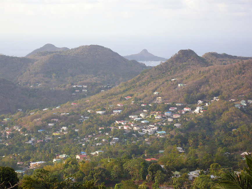
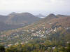
Hiking Mt. Pimard - Part One
Earlier on Saturday we had shown Devi and Hunter (Arctic Tern) the
road/path on Mt. Pimard that starts at Reduit Beach and wraps counter-clockwise up to about a
third of the way to the top before switching back for a bit and then descending
clockwise into a high resort that
overlooks Rodney Bay. To our surprise, the resort was in a shambles. We engaged in conversation a watchman at a nearby building -- turned out to be
the French Embassy -- and learned that the resort had gone bankrupt, and its
creditors had sacked the place in order to remove as much of value as they
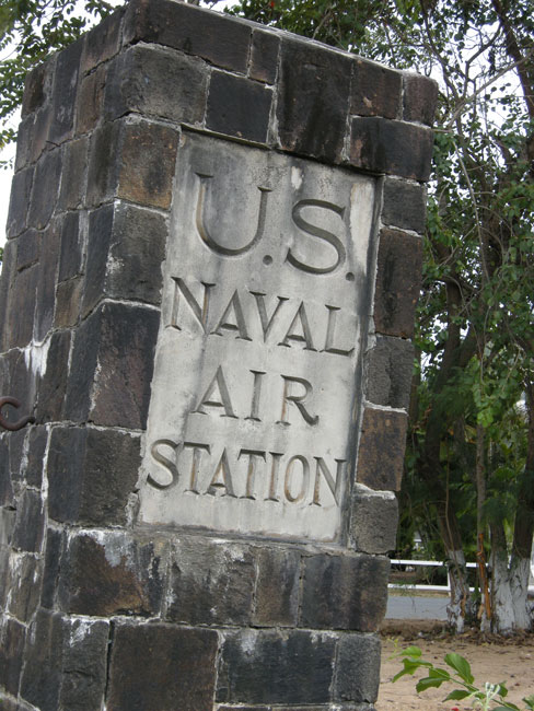
could. The path/road, as well as several bunkers we passed,
presumably date back to a time when the mountain was used as a US Naval Air
Station. Francis, the watchman, assured us that there was a trail
all the way to the top, and suggested that it began at a nearby abandoned road
that lay between the Embassy and the resort. We followed that up,
and arrived at a set of large water tanks. But we were still far
from the top, and could see no trail -- however old -- that led from the tanks
toward the top. So we turned around and returned to our dinghy,
which we had left at the also defunct Iguana restaurant, guarded by a
ridiculously friendly watchdog. Iguana is way at the end of the road
that runs behind Reduit Beach, but there is no dock on the ocean side, and thus
no way to secure the dinghy while we are out walking. So we took it to
Iguana, where it could be "protected" by the
so-happy-to-get-company-that-his-whole-body-wagged watchdog (and it [the dinghy]
also could be chained to the dock.)
|
|
|
|
Mt. Pimard as seen from our boat in Rodney Bay
|
|
|
|
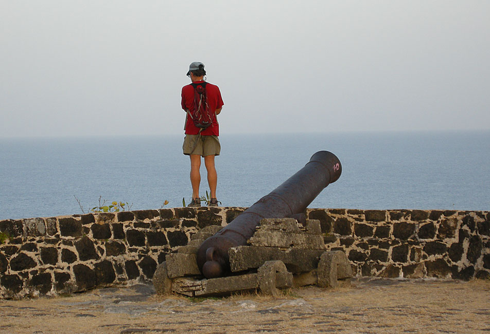
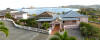
Looking over the defunct resort toward Rodney Bay
|
|
|
|
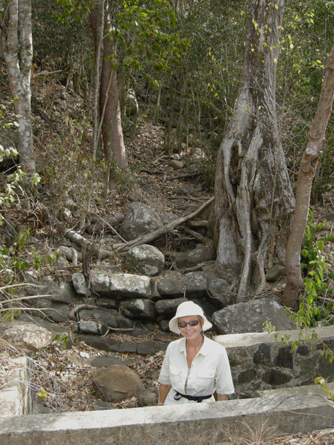
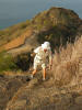
Hiking Mt. Pimard (639') -- Part Two
After all of the bushwhacking we had done in Grenada, there was no way either
Hunter or I could resist the opportunity to take our machetes in hand and find
or blaze our way to the top of Mt. Pimard. So the very next day
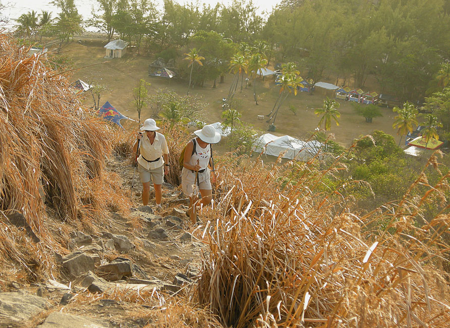
(Feb. 28) Barb and I picked up the Terns at our usual start-of-hike time
of 6:30 AM, parked the dinghy at Iguana, petted the dog, walked up the road to
the cut over to Reduit Beach, and once again followed the well-established road
slanting up the north side of Mr. Pimard. But this time, when we
reached the (almost) highest point of the road, instead of beginning the descent
down toward the defunct resort, we abandoned the road just to the east of a
natural pond lying at the bottom of a granite cliff, and picked our way up the
mostly-nude steeply sloping granite. Our plan was to ascend the
ridge that rose from the pond toward the summit because it appeared to be a way
least clogged with underbrush. Passing above the nude granite,
hacking as we went, we soon recognized that we were not the first to use the
route: there were occasional old cuttings, and soon we even saw orange
ribbons infrequently marking the way up the ridge. But there was no
clear trail, just old cuttings and infrequent ribbons. Until we
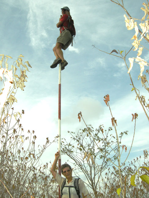
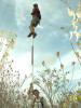
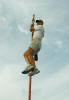
reached the top, where we found a little-used trail and -- at the very top -- a
flagless pole. Hunter shinnied up without hesitation, Devi gave it a
good go but failed to reach the top, Barb declined to try, but, in an
unmistakable tone of voice that conveyed that I was expected to demonstrate my
ability to match Hunter's manliness, announced that she was certain that I would
want to climb as well. Not one to let pass such a golden and rare
opportunity to meet my mate's expectations, I also gained the top of the pole. We then followed the trail down into a saddle and then up the second peak and
then down the south side of the mountain. About two-thirds of the
way down we reached a "road" that had been bulldozed a good while ago; there
were lots of small trees and bushes growing within it. If our trail
continued beyond that point, we could not find it. So we followed
the old road down, and eventually reached, basically at the base of the
mountain, an old tar road that lead us past the quarry we had seen from above. From there, we followed roads until we reached the main road that runs from
Rodney Bay to Castries. Left on that road, walk a considerable distance,
and there is the road that runs up a short hill and then down to the road to
Iguanas. I am not certain about the girls, but I think both Hunter
and I felt like little Jack Horners.
|
|
|
|
Hunter at the top of the pole at the top of the mountain
|
|
|
|
Ditto Chuck
|
|
|
|
Looking south from the "bulldozed" road (cf. text)
|
|

|
|
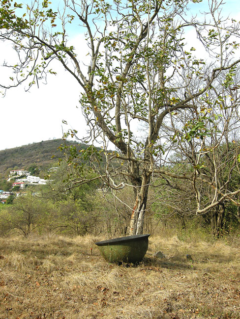
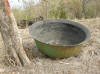
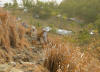
A pasture along the tar road -- inexplicably containing a boiling pot (for sugercane squeezings).
|
|
|
|
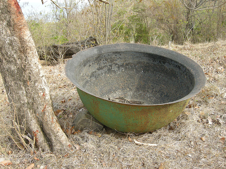
Closer look at the pot
|
|
|
|
|
|
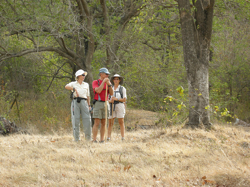
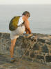
What companions do while pots are being photographed
|
|
|
|
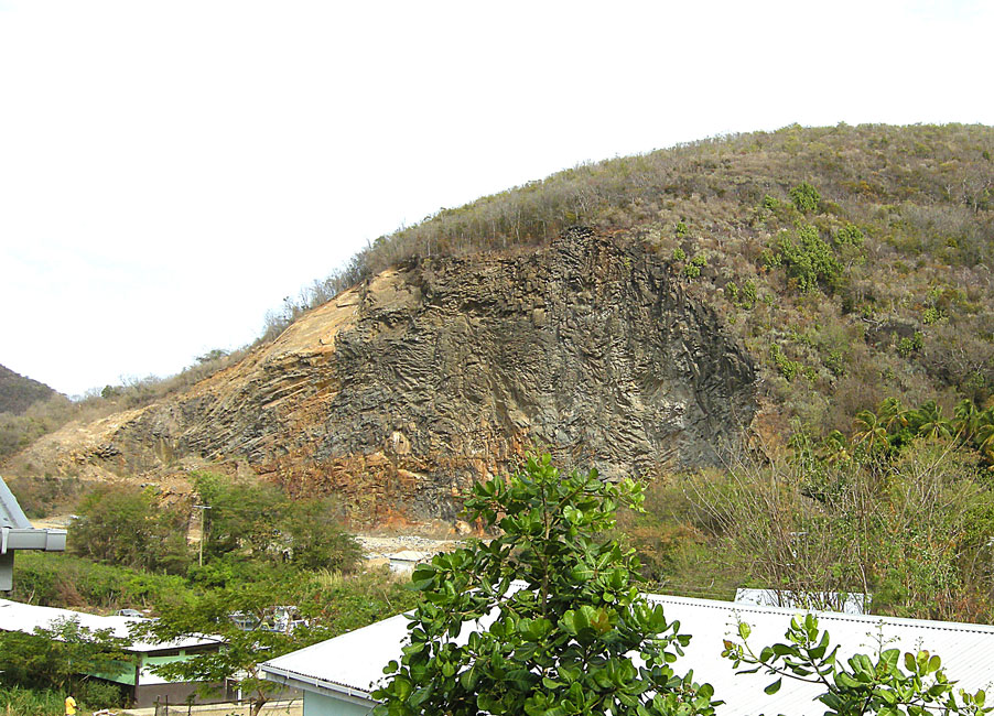
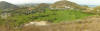
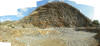
Panorama of the quarry
|
|
|
|
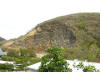
Quarry seen from a distance as we traversed the road back
|
|
|
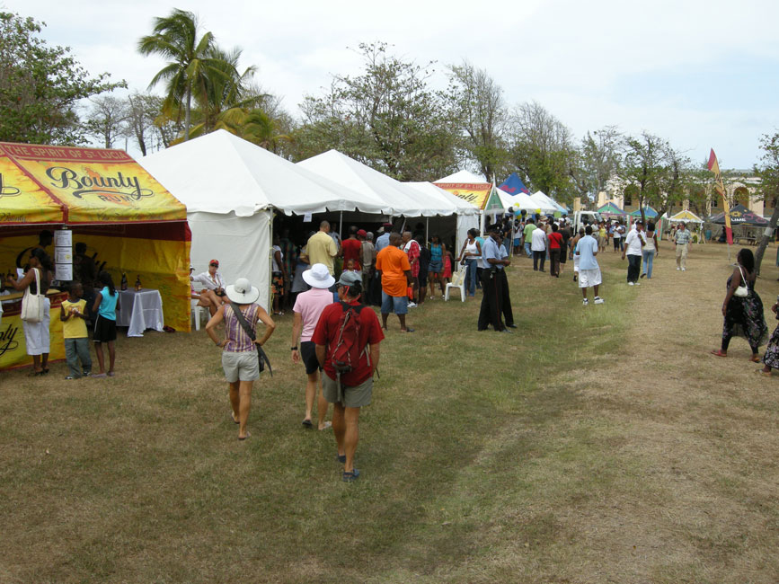
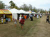
International Food Fair -- Pigeon Island
Later on Feb. 28, we joined the Terns in attending an International
Food Fair held at the other end of Rodney Bay, on the grounds of the national
park on Pigeon Island. The food was good, the free chocolate samples
delicious, the free wine tasting tempting.
|
|
|
|
Strolling down between exhibition tents
|
|
|
|
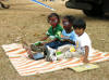
How a young wealthy local mother of East Indian descent keeps her children happy at a food fair.
|
|
|
|
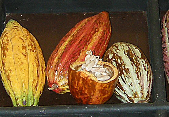
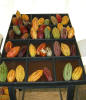
Cocoa bean pods
|
|
|
|
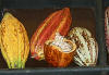
Blowup showing the "wet" beans inside a pod
|
|
|
Hiking Pigeon Island
On the day after the food fair we got up early and went over to hike Pigeon
Island. We and the Terns have been there many times, but the views are
pleasant
|
|
|
|
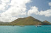
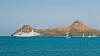
Pigeon Island as seen from our boat across the bay
|
|
|
|
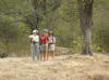
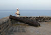
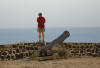
Barb at the top of the west battlement ...
|
|
|
|
... and Devi ...
|
|
|
|
... and Hunter
|
|
|
|
Barb and Devi climbing up the east peak -- note the tents below still standing after the previous day's food fair
|
|
|
|
|
|
Barb near the top of the eastern peak -- note the western battlement in the background
|
|
|
Hiking Mt. Pimard -- Part Three
Neither Hunter nor I felt we had had enough bushwhacking, so early the next
morning (Mar. 2) we all took the dinghy to Iguana's, petted the dog, walked the
roads to the French Embassy, greeted Francis, learned that he had actually never
been to the top, and then ascended up to the water tanks. The plan was to
cut a new trail that would ascend from the northern-most corner of the
tank-plateau up to the southern peak of Mt. Pimard. From there we would
join the existing trail and use it to get to the bottom of the saddle between
the north and south peaks. Then, we would cut a new trail going
southwesterly down the wash from the saddle until we hit the tar road. And
so we did. But the exploring was not over, because we suspected there was
a shorter route along the base of the mountain that would get us back to "our"
side without our having to go back to the main highway. And indeed there
was: a path that took us closely alongside many a humble home and past
many a surprised but immediately friendly local. We have all learned the
value of a friendly greeting: "morning, morning" (always repeated at least
twice), or "hello, good day". Locals always great other locals when they
meet. Locals very very seldom great a cruiser first. (Too many
cruisers treat the locals as if they are invisible.) But a local will
respond to a greeting initiated by a cruiser, and will then often stop to chat
and offer advice about routes, etc..
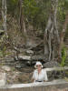
And so, soon enough we were back to Iguana's, feeling extra pleased with
ourselves. We now knew FOUR ways up/down Mt. Pimard, and a neat shortcut
back to Rodney Bay from the southwest base of the mountain. Isn't making
such experiences what cruising is all about?
|
|

|
|
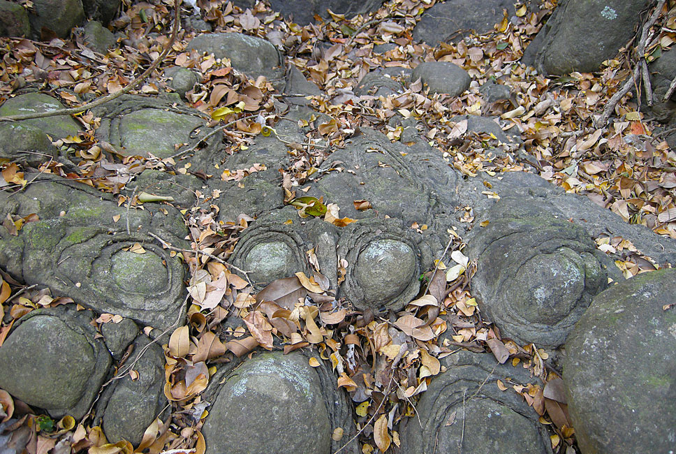
Low in the descending wash we found these "elephant knees" in the wash bed
|
|
|
|
Barbara at the point where the wash intersects the tar road (and goes into a bridge)
|
|
|