August 9-19, 2010 -- Inland Bonaire
Click on the thumbnail for a map during this time period
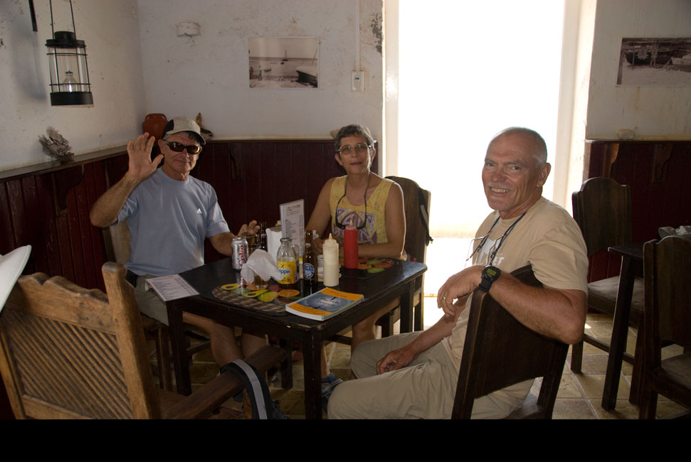
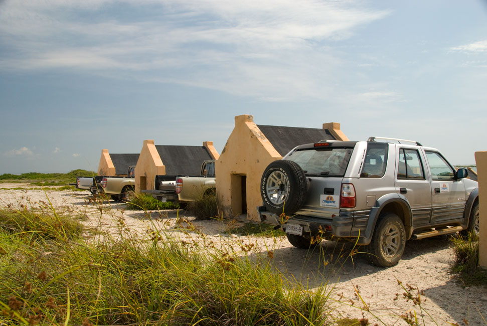
On August 9th and 10th the Terns and the Takks
took an hiatus from diving and rented a pickup truck (with a double cab) for a
two-day exploration of the island.
Washington-Slagbaai Park
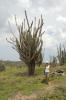
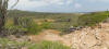
The northwestern end of Bonaire is an inland national park.
Part of its name derives from the center of one of the two plantations that occupied the area
in colonial times:
the plantation was called "America", and so (naturally) its
headquarters were called
Washington. Honest. I read this in an old guide book maintained
at the sign-in booth at the entrance to the park. The other plantation was
apparently called Slagbaai. Administered by the same non-profit
organization (STINAPA) that manages the Marine Park, Washington-Slagbaai is a
terrestrial park comprised of 5,643 hectares. Our first day was devoted to
getting up to and visiting the park, a dusty dry cactus-filled place that
provides a safe habitat for terrestrial endemic and endangered species of
Bonaire. There are parakeets, parrots, flamingos, iguanas, and many other
species of birds and reptiles in the reserve. It also contains Bonaire's "mountains" that soar to almost 800 feet.
Renting a pickup was on
purpose; a vehicle with high suspension is a necessity for navigating the
one-way rutted dirt roads that wind through the park. There are two
routes, called appropriately enough the "short" and "long" routes. We took the long; it ventured further north and touched the north coast of
Bonaire before swinging west and then south and joining the short route as it
winds toward Boka Slagbaai, the only location in the park -- other than the
entrance -- that has buildings and amenities.
The park has had some sprucing-up since our last visit.
Very nice museum at the entrance, and new signage throughout the park.
|
|
|
|
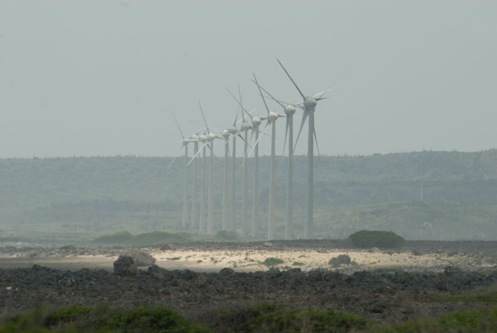
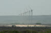
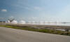
Just outside the park entrance one can look south to the new farm of wind generators -- not yet in service.
|
|
|
|
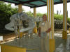
Skeleton of a whale that was washed up on shore of Bonaire
|
|
|
|
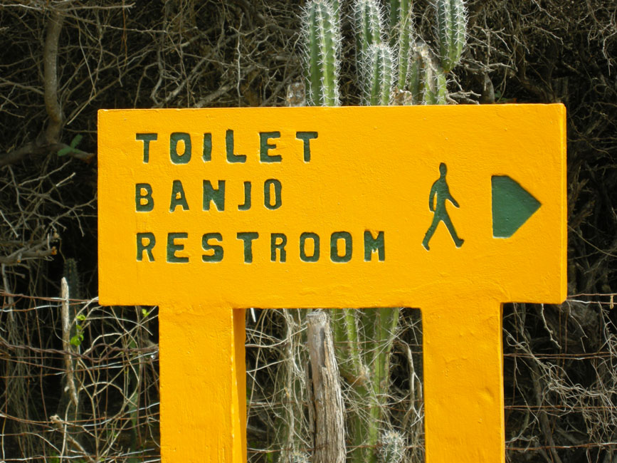
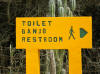
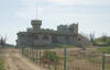
Typical style of signage throughout the park -- this one is at the park entrance ...
|
|
|
|
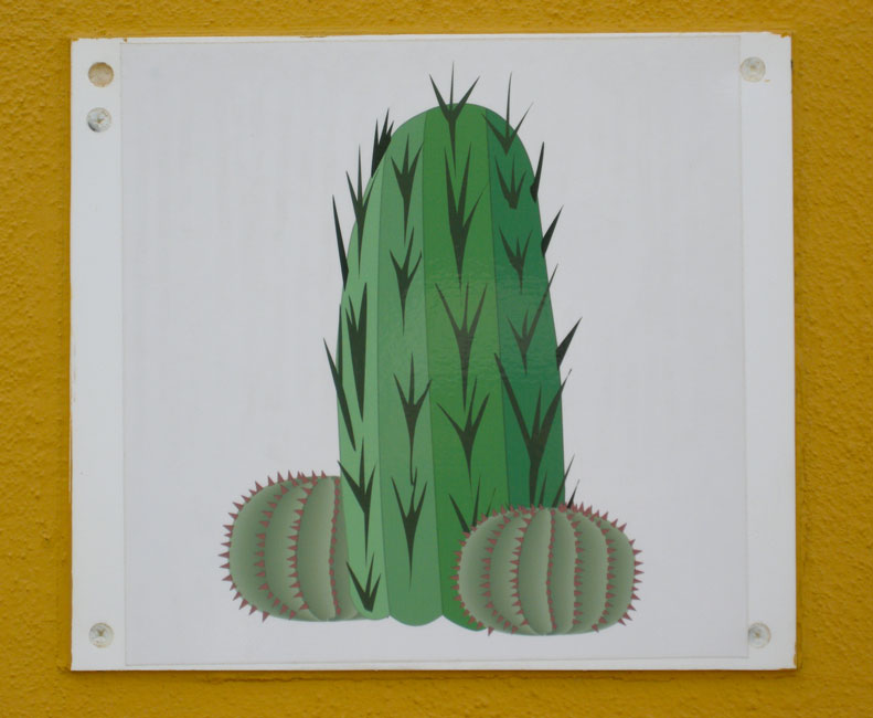
... and this handsome picture is the only identifier of the restroom for males ...
|
|

|
|
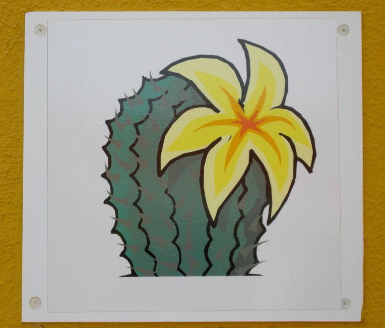
... just as this is the only identifier of the one for females
|
|
|
|
|
|
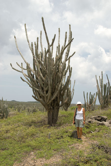
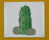
Many of the cactus plants have a woody tree-like base
|
|
|
|
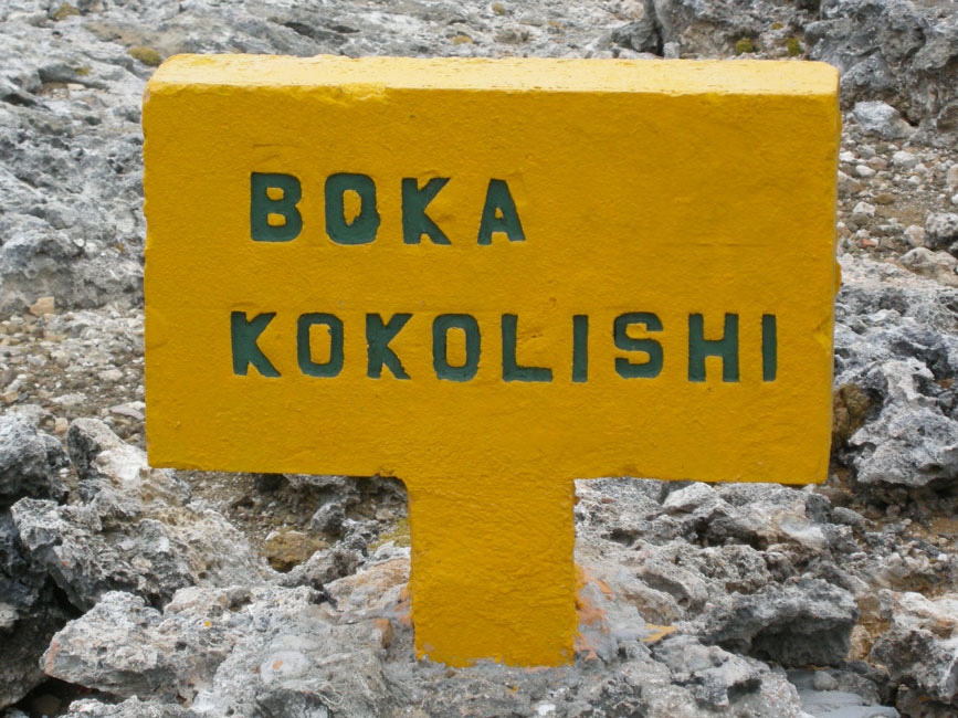
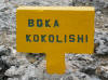
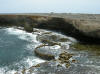
Signage for an interesting cut in the shoreline
|
|
|
|
Boka Kokalishi is a deep cut that contains these interesting tiers that look almost man-made
|
|
|
|
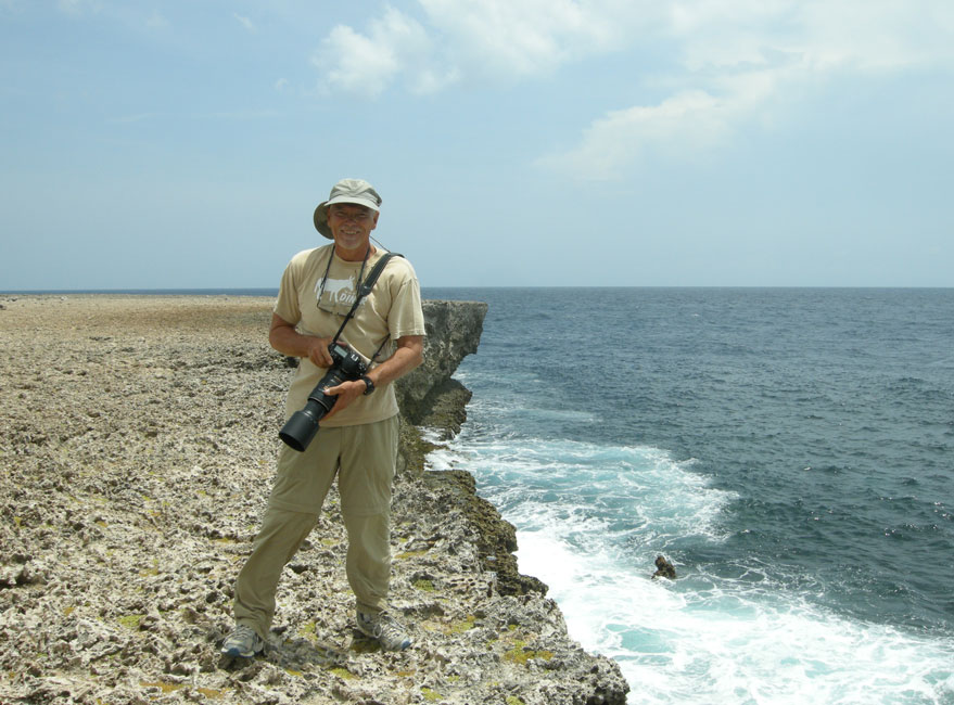
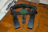
Barb captured Chuck in his battle gear
|
|
|
|
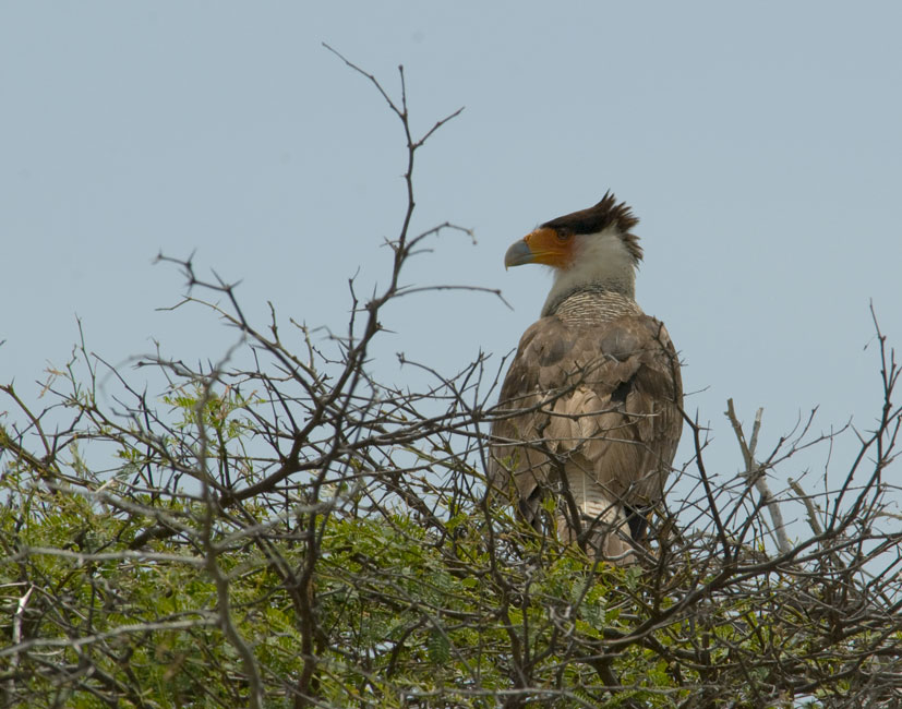
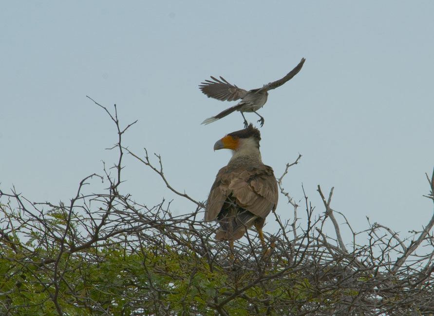
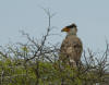
Crested Caracara in a tree ...
|
|
|
|
|
|
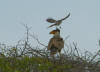
... was hassled by a brave (foolish?) Tropical Mockingbird
|
|
|
|
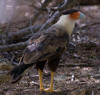
Another Crested Caracara taken at a different site
|
|
|
|
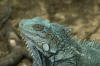
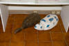
Iguana
|
|
|
|
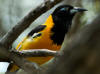
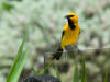
Troupial oriole
|
|
|
|
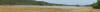
Pan of an almost-dry lake bed
|
|
|
|
|
|
Cliff along the west shore
|
|
|
|
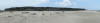
Pan of cliff along the west coast
|
|
|
|
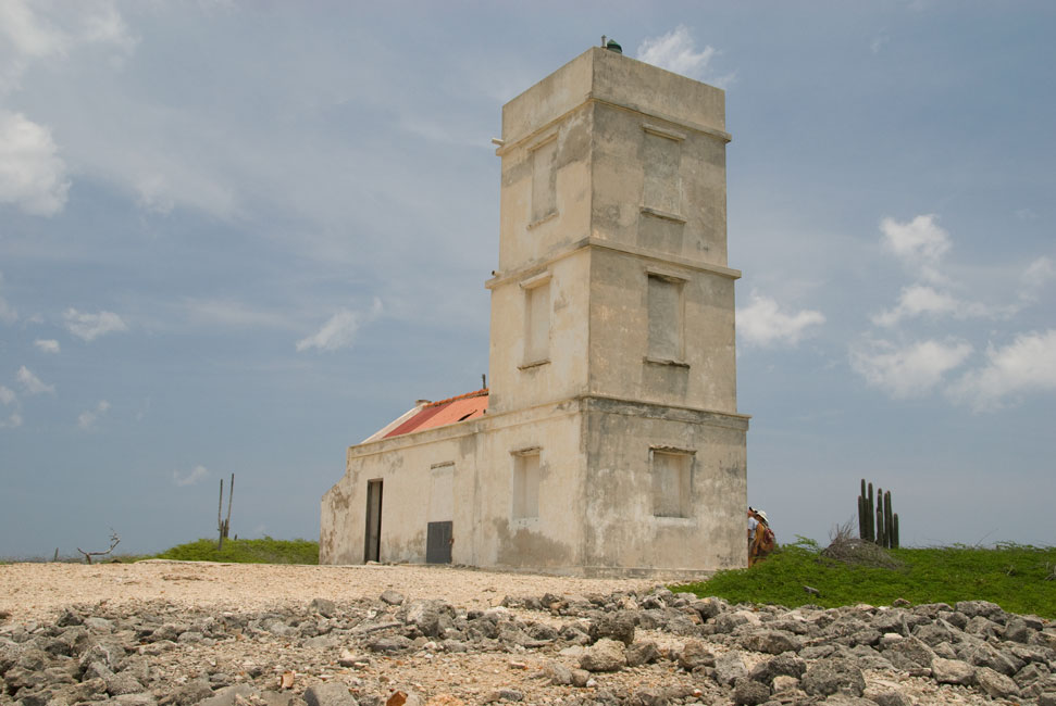
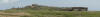
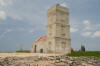
Lighthouse on the northwest coast
|
|
|
|
Terns at the lighthouse
|
|
|
|
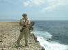
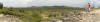
Looking east from the lighthouse hill
|
|
|
|
|
|
Pan to the south from lighthouse hill
|
|
|
|
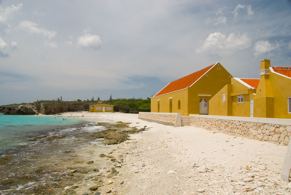
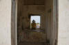
Some of the buildings at Boka Slagbaai
|
|
|
|
Lunch at Boka Slagbaai
|
|
|
|
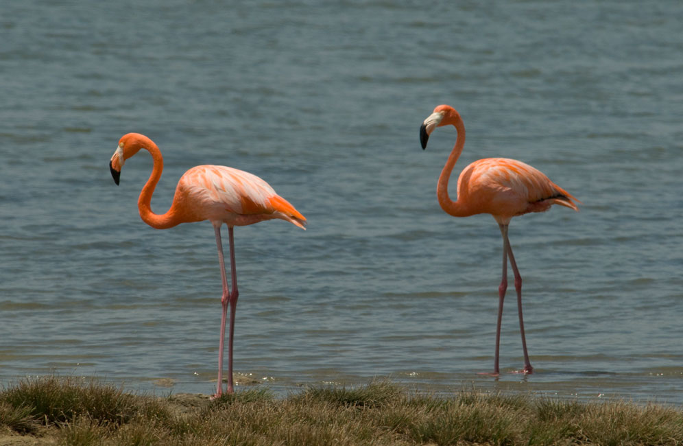
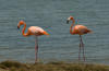
Flamingos at Boka Slagbaai
|
|

|
|
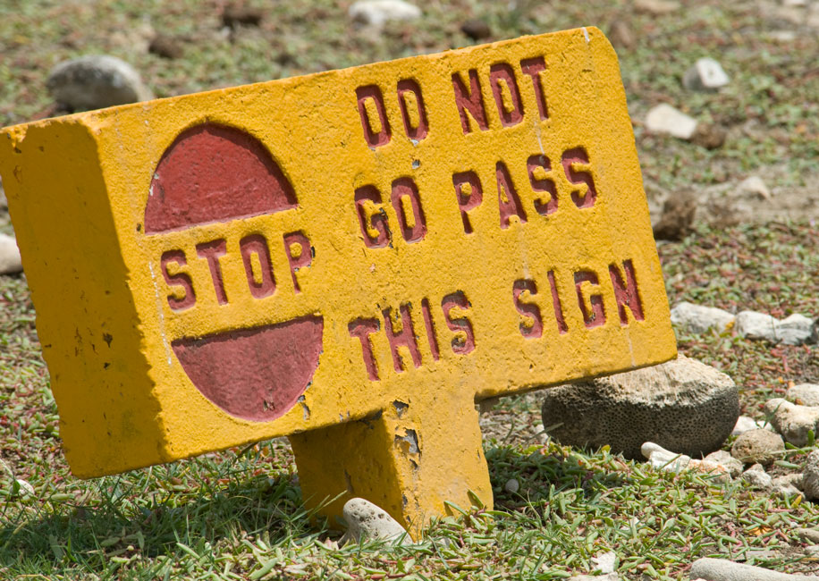
Typical sign to keep folks from getting too close to the flamingos
|
|
|
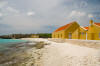
South and East Bonaire
On the second day of our pickup rental we drove south from
Kralendijk, past many of our favorite dive sites from the "old days" when we
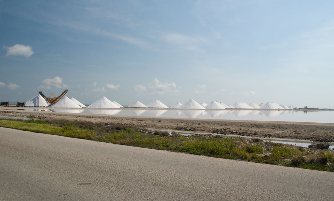
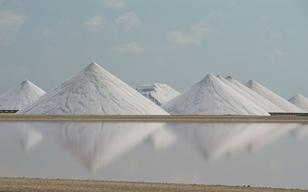
used to come to Bonaire by airline. We passed the shipping area for the
salt that is produced by the solar salt works that have been on the island since
slave days. There were four grades of salt produced, and in former days
they were each amassed at different locations along the coast. So that
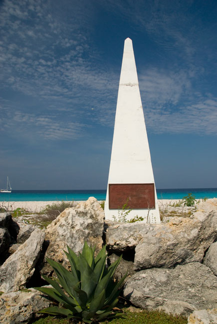
arriving ships would know which grades were where, obelisks were erected and
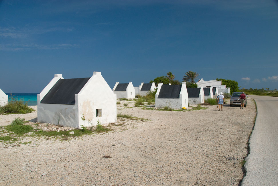
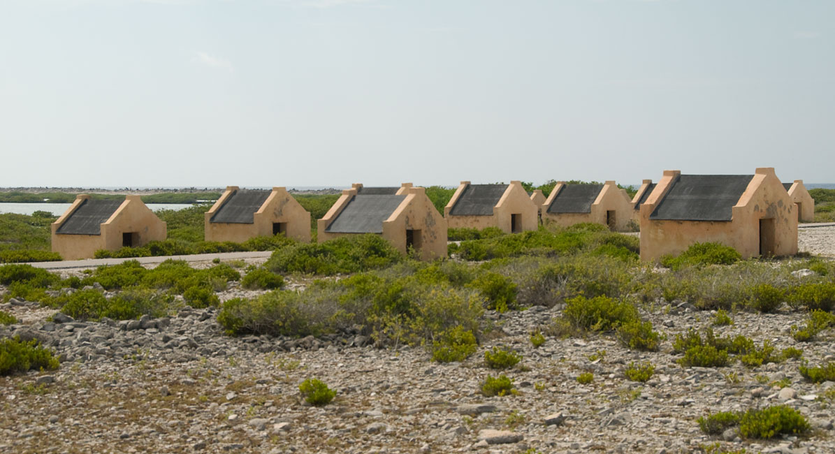
painted different colors: white, pink, red and yellow. Small huts
were built at several of these sites for sheltering slaves at night during the
week; two of these have been restored and bear the name of the nearby obelisk.
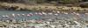
We continued around the southern end of the island and up the
east coast to Lac Bay, famous for its sailboarding. After a very good
lunch at the Kon Tiki restaurant, we drove up to the northeastern corner of
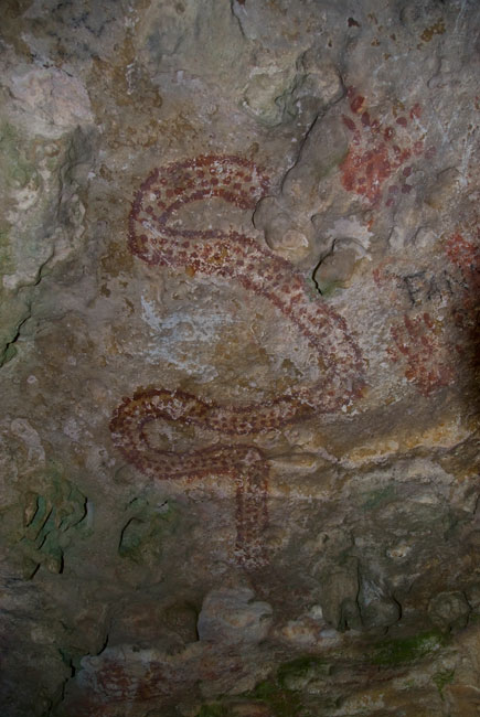
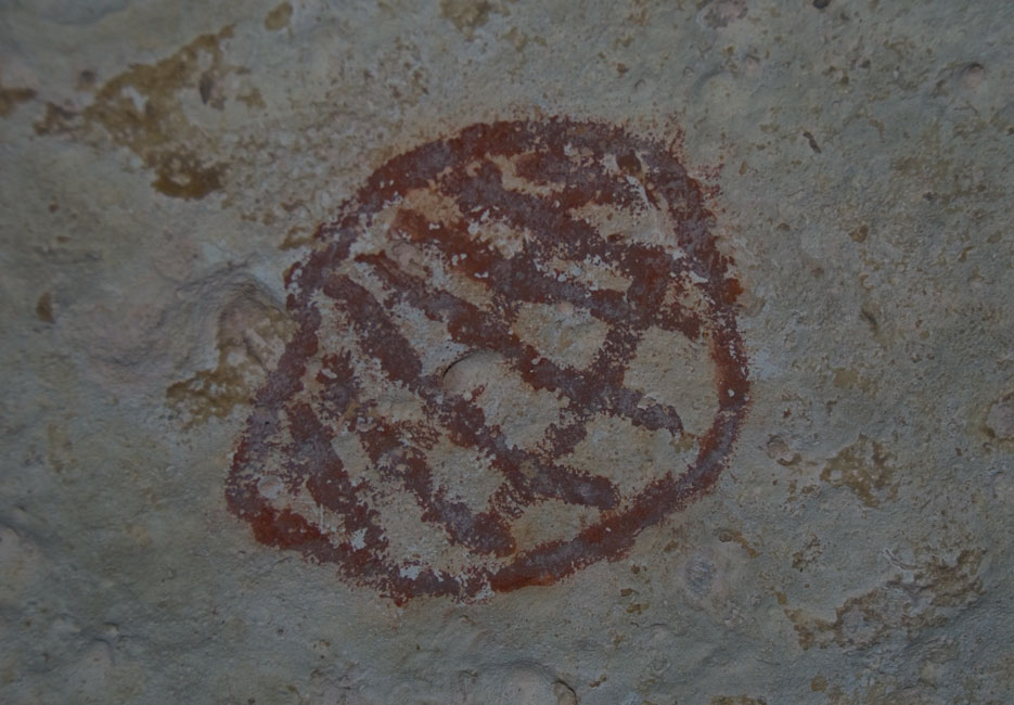
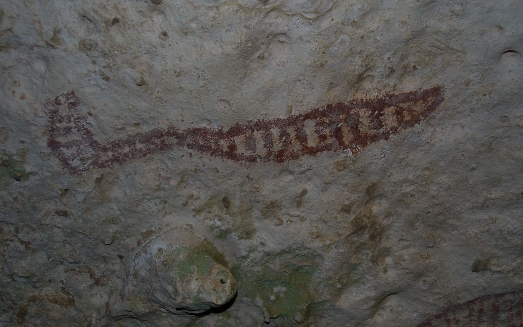
Bonaire where the guide maps indicated that there were caves with Amerindian
inscriptions. To get to the caves we had to leave the main road and drive
along an extremely bumpy trail that paralleled a cliff that extended for miles
in a north/south direction. The trail might be carelessly described as a
dirt trail, except there really wasn't dirt. Just an uneven surface of
hard rock, for the most part. There was no signage, and so we stopped at
many likely-looking spots along the cliffs before we finally hit the jackpot.
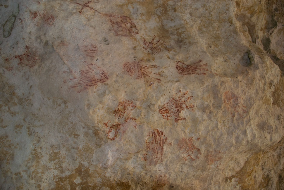
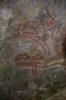
Caves with hand-painted inscriptions in red, high on the walls and ceilings.
Some had faded almost to the point of not being visible, but others were
surprisingly intact. I noticed later in my photos that many of the intact
inscriptions appeared to have areas of shiny reflectance. My worst
suspicions were confirmed by an obscure book found later in the Bonaire museum:
at some point a number of years ago the inscriptions were apparently "enhanced"
by someone with red latex paint. None of the references in the popular
tourist guides mention this fact, but possession of the knowledge by local
authorities may explain the lack of promotion and/or signage.
|
|
|
|
Piles of salt harvested from the Solar Salt Works at the south end of Bonaire
|
|
|
|
|
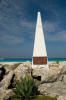
White obelisk near the restored "white" slave huts
|
|

|
|
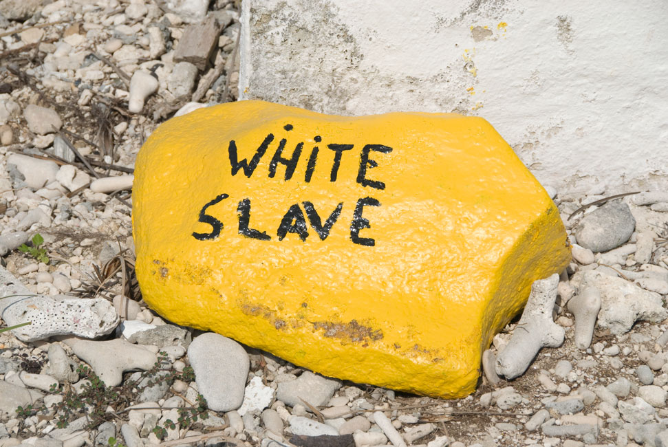
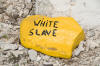
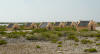
Some of the huts at white slave -- named not for the color of the slaves but the color of the nearby obelisk
|
|
|
|
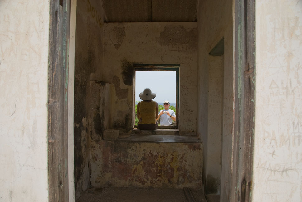
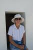
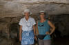
Barb rests in the entrance to one of the white slave huts
|
|
|
|
|
|
Site is also a dive site. This is a typcial marker for the shore divers
|
|
|
|
South of white slave are the "red slave" huts
|
|
|
|
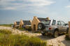
Shore divers park their vehicles among the huts at red slave
|
|
|
|
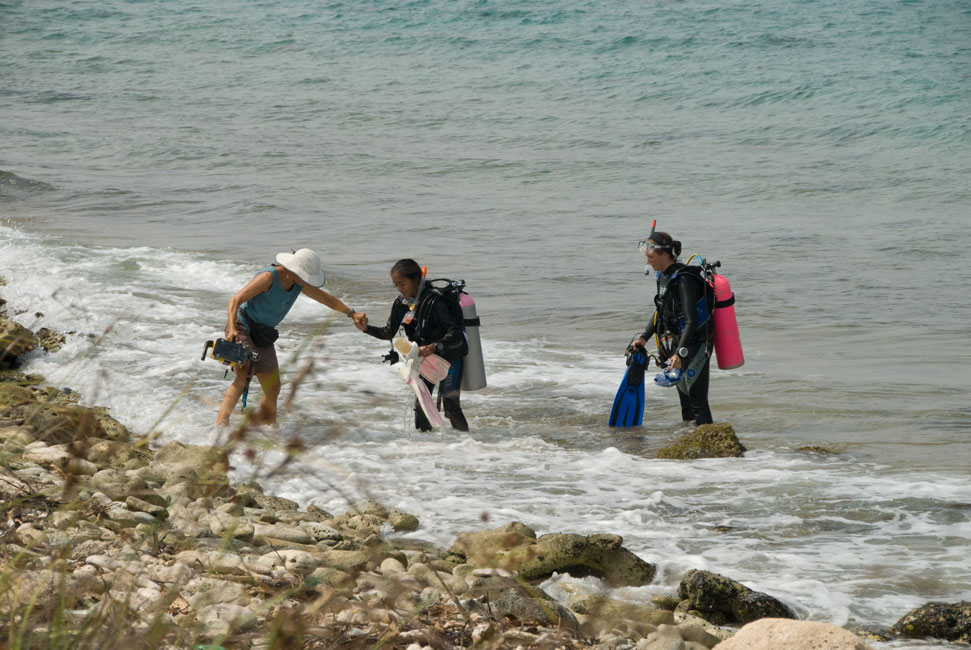
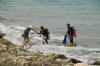
Devi lends a hand to a photographer having trouble wading ashore
|
|
|
|
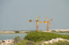
Windmills used to move water into and among the salt ponds
|
|
|
|
|
|
No, they are not plastic
|
|
|
|
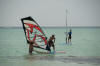
On a quiet day, the only sailboarders at Sorobon were youngsters getting lessons
|
|
|
|
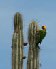
Parakeet
|
|

|
|
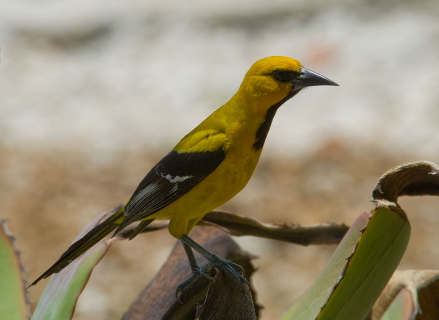
At lunch we were entertained by this Yellow Oriole ...
|
|
|
|
... that kept posing for me ...
|
|
|
|

|
|
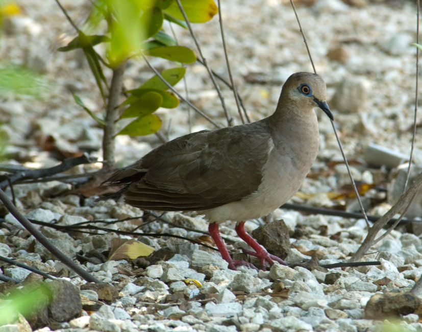
... while this blue-eyed dove moped in the shadows
|
|

|
|
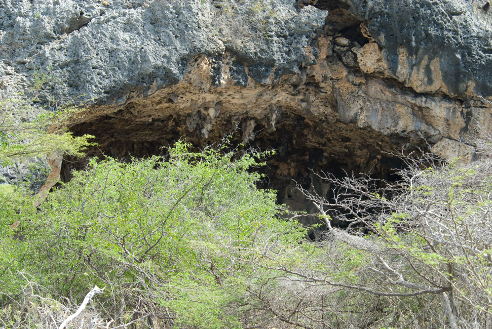
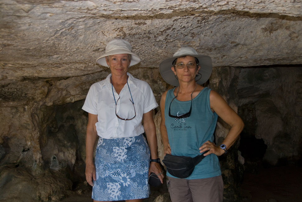
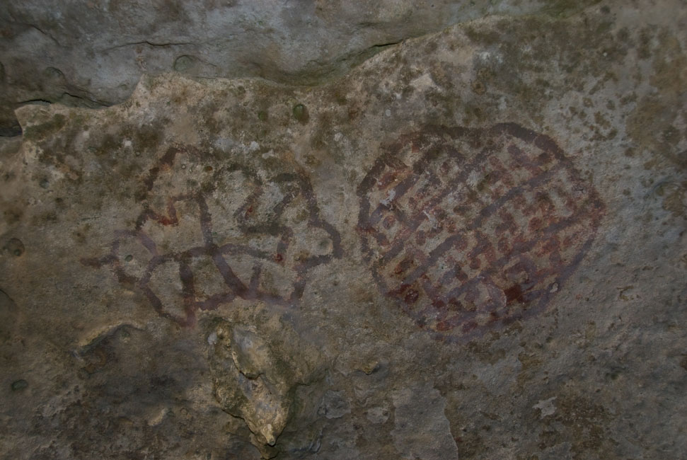
Mouth of one of the caves containing Amerindian inscriptions
|
|
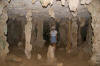
|
|
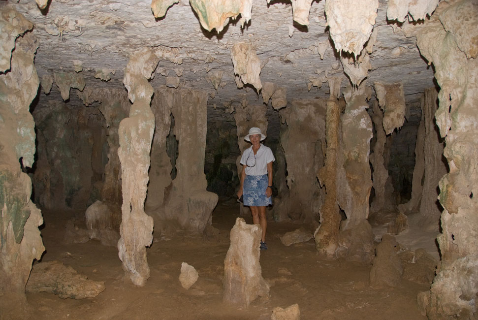
Interior of one of the caves
|
|
|
|
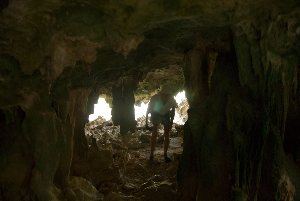
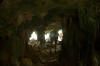
Some caves were deep enough to be dark ...
|
|
|
|
... but a handy flash lighted the subjects ...
|
|
|
|
|
|
... including many of the inscriptions themselves
|
|
|
|
|
|
|
|
|
|
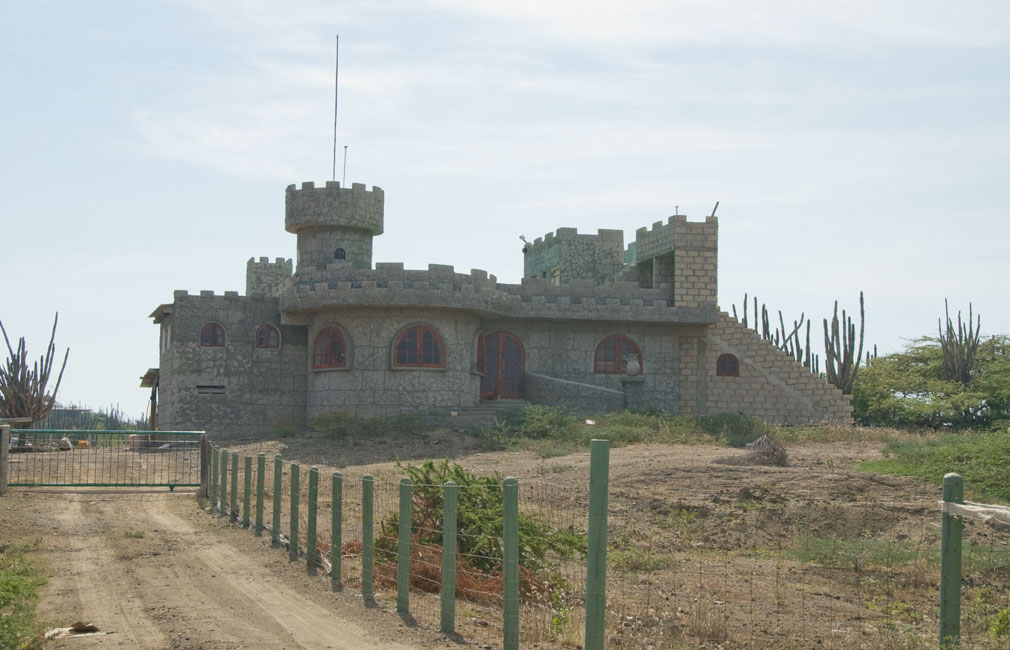
Unusual private residence found on the east side of the island
|
|
|
Bonaire Museum
On August 12 the Takks and Terns decided to visit the Bonaire
museum. We found that the museum had moved since our guidebooks had been
written: it is no longer in the former Governor's Building along the
waterfront near the town pier; rather, it is now in a building near the large
yellow Catholic church.
The collection in the museum is rather eclectic and ragged. There are a
number of amateurish paintings by a local artist that attempts to portray the
Amerindian myths concerning the origin of human life on Bonaire. There are
old farm implements and old kitchen utensils. And there is the old book
that revealed to us that the Amerindian inscriptions have in modern times been
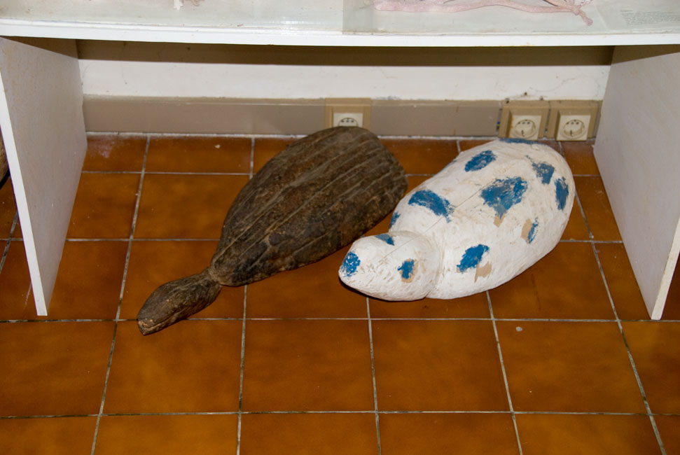
"enhanced". Oh, and turtle decoys -- used to attract horny male turtles
who at certain times in their lives will mount anything that looks even remotely
like a cooperative female. Etc.
|
|
|
|
Turtle decoys
|
|
|
|
HUGE metal trap
|
|
|
|
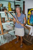
Barb shows off the tools that are/were used to manipulate the lengths of cactus used to make cactus fences
|
|
|
Lionfish Talk
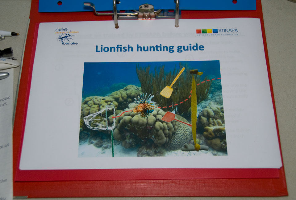
On August 19 we attended a special talk about the efforts to stem the invasion
of Lionfish into Bonaire waters. The talk was given by a young researcher
who is working on a Master's degree from an English University. A native
of Trinidad/Tobago, she secured an internship with the Bonairean research group
CIEE out of concern that one day the Lionfish will begin appearing in Trinidad,
and she wanted the experience of having worked with an organization that was
actively resisting the invasion. We learned in the talk about the
aggressiveness of the Lionfish; they are such prodigious eaters that they
can -- by eating the young of other species -- soon virtually strip the reefs of
most other species. Apparently this has already happened in part of the
Bahamas. We learned that all of the Lionfish now invading the Caribbean
came from just a few fish that were accidentally released in Florida by
hurricane Andrew in 1992, a theory that has been validated by DNA sampling.
Here in Bonaire, divers are encouraged to take along a supply of yellow ribbons
to tie to a piece of dead coral near any Lionfish. (The ribbons are
created by volunteers. They are cut to a standardized length and a cork is
stapled to one end so that in the water the floating cork will hold the ribbon
in a vertical line.) In the short term, the Lionfish tend to stay in a
relatively confined space, so by marking the location (and reporting it
immediately to the appropriate authorities upon returning to shore), volunteer
divers can come find the ribbon and the fish. By the way, Barb has
quite the eye for finding lionfish. She has found, marked and reported
three of them recently. The recovery volunteers are equipped
with a large rectangular net on the end of a stick, and with several -- believe
it or not -- fly swatters, which are used to "herd" the fish into the net.
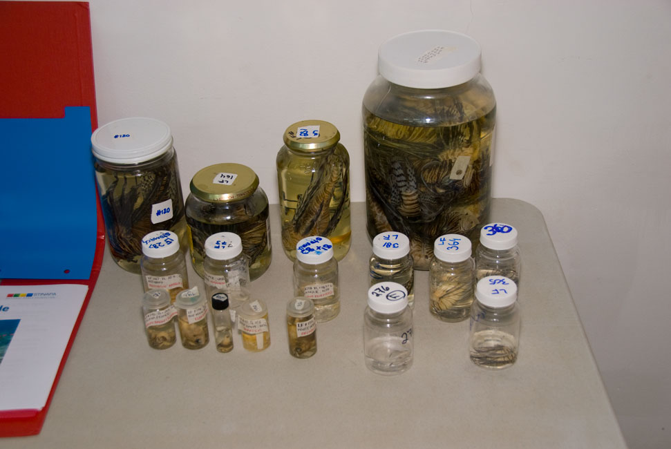
The fish is then put into a suitable container and taken to CIEE as soon as
possible so that the stomach contents can be analyzed. How many Lionfish
have been collected on Bonaire recently? Don't recall the exact figures,
but in the hundreds.
|
|

|
|
Young researcher from Trinidad
|
|
|
|
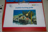
Booklet at the talk
|
|
|
|
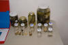
Sample bottles of Lionfish and stomach contents
|
|
|
|
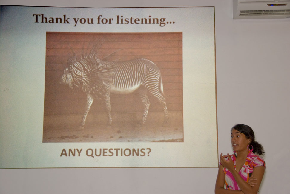
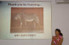
Humorous slide at the end of the talk
|
|
|
|
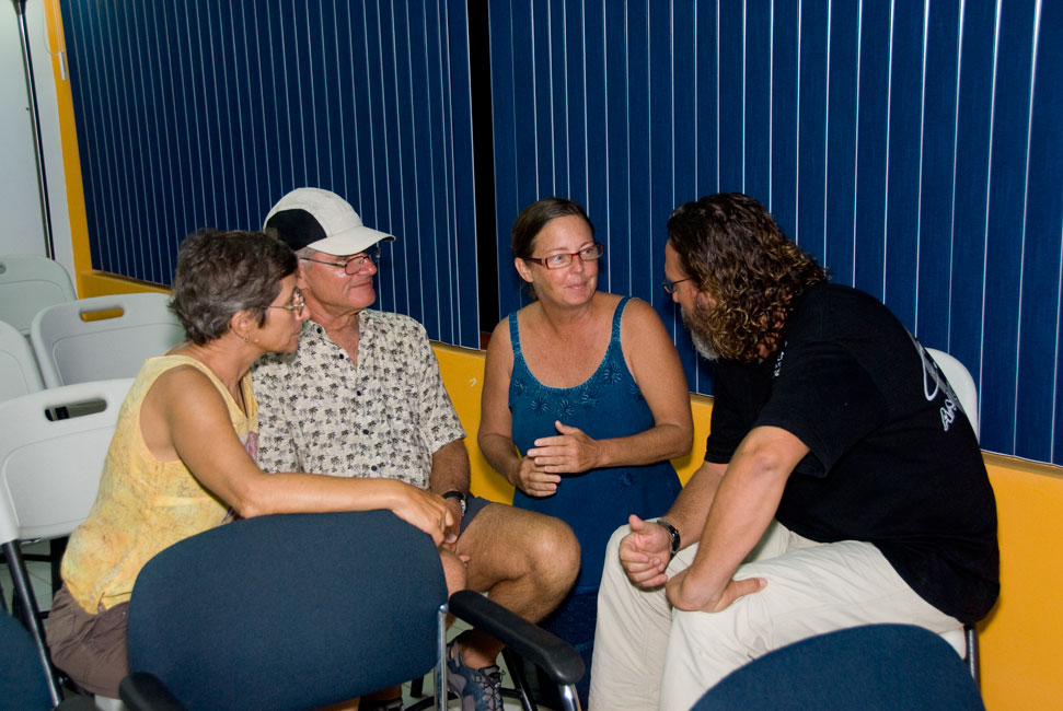
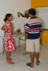
Talking with locals after the talk
|
|
|
|
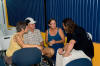
|
|
Terns talking with Kim (who certified us to be level-3 fish surveyors for REEF) and the director of the Lionfish removal project
|
|
|
|
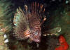
Lionfish (picture provided by Becky Bauer)
|
|
|
Return to Home Page