 Grenada: Dec. 8-13, 2009
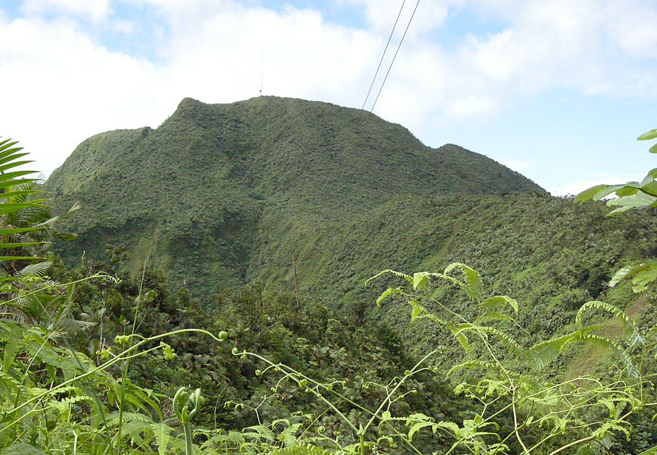
Mount Saint Catherine (2757 Feet)
At 7 AM on Dec. 9, the crews from Tusen Takk II, Arctic Tern, Receta,
and Bee's Knees all gathered at Clarke's Court Marina and piled into a
rented van. The plan: to drive as close as possible to the tallest
mountain on Grenada, and to then attempt to hike to the summit. Mt.
St. Catherine sports a microwave or wireless tower, but there is no road.
The tourist maps seemed to indicate that the best route would be to drive to the
top of Mt. Hope in order to begin the trek, but queries of locals and a bit of
internet research soon changed our plans; we would drive through the
villages of Paraclete and then Blaize, and then take, to the extent that we
could, the concrete road up to the un-named peak (hereafter called "UNP") that
bore the description "Cable and Wireless Sta." on the more-detailed map
available for purchase in St. George. From there, we would walk.
As we approached the area, the locals were very helpful, pointing out the right
road at intersections and asking if we had a four-wheel drive. We
didn't, so when the concrete road became single lane and dauntingly steep, we
pulled off and parked on a small level shoulder made for just that purpose.
As it happened, we were about a mile and a half from the top of UNP. We
found at the top not one but three towers, a nice log on which to rest, and, at
first, no sign of a path toward Mt. St. Catherine. A bit of searching
revealed next to a small building a narrow path that promised to follow a ridge
to our goal. Hunter and I had machetes (called cutlasses by the
locals), and they proved to be invaluable. The path turned out to be
very muddy, fairly overgrown, and, in the first "lower" section, chocked with
razor grass. We all got fairly muddy on the way up, and then got
terribly muddy on the way back down, since we all at one time or another slipped
and fell on our bums. But the views were spectacular, and the
weather remarkably kind. No rain, and clear visibility, with occasional
sunshine.
Hike statistics: We left the van around 8:30 AM. The
distance from the van to the top of UNP was about 1.5 miles. The distance
along the ridge from UNP to St. Catherine was about 1 mile (as a hawk flies),
and we started that trek at about 10 AM. We reached the top of St.
Catherine at about 1:00 PM. On the way back down the concrete road (above
the van), we passed a public faucet and stopped to clean up some.
All told, by the time we stopped at a rum shack to grab water for all and beers
for a few, it was past 7:30 PM by the time we arrived back at Clarke's Court
Marina. Too tired to consider cooking, Barb insisted that before returning
to the boat we partake of veggie burgers (which were surprisingly good) at the Marina's Wed. night Burger Night.
Photos by Devi Sharp are marked with (**)
|
|

|
|
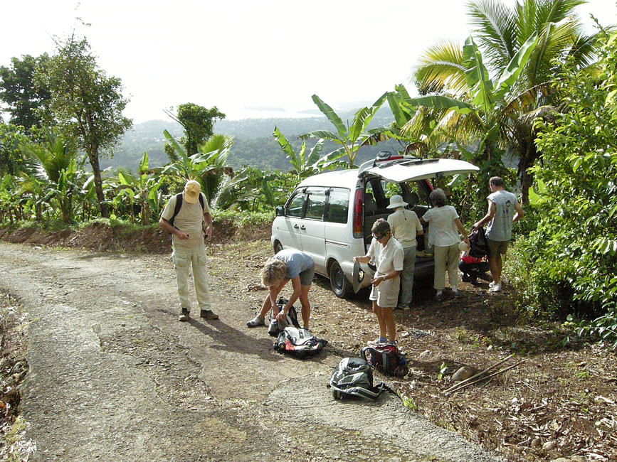
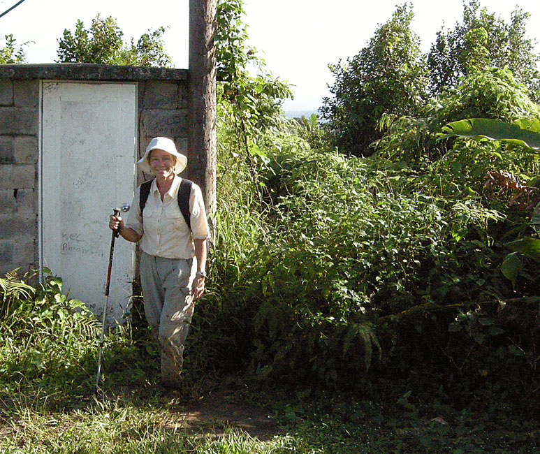
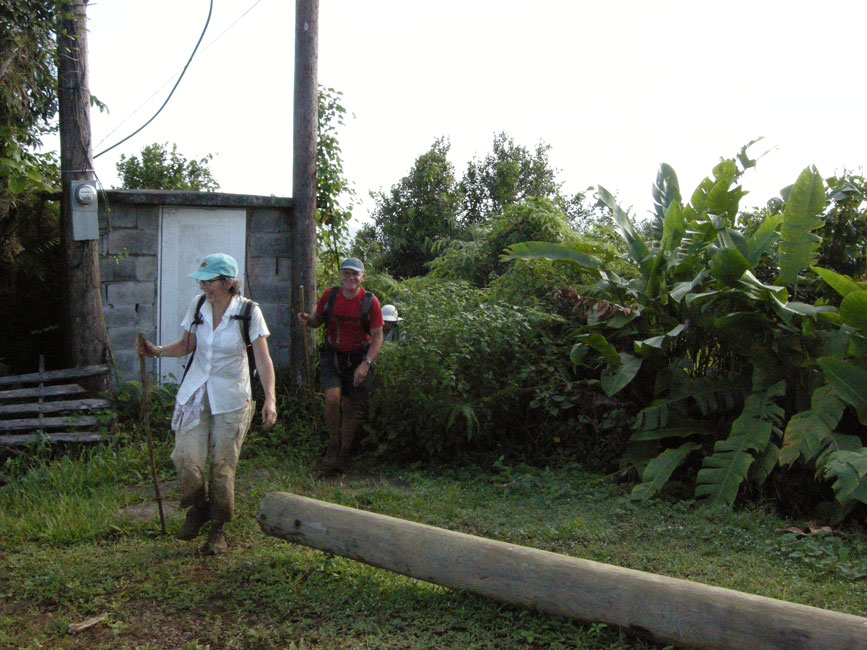
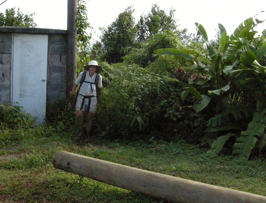
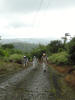
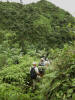
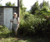
Leaving the van and getting ready for the hike ...
|
|
|
|
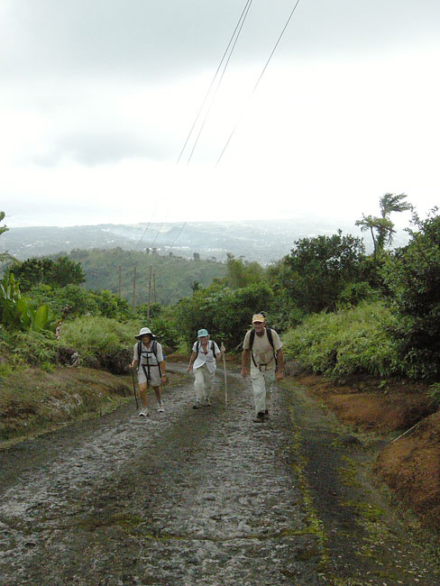
... up the steep concrete road to the top where the "official" hike would begin
|
|
|
|
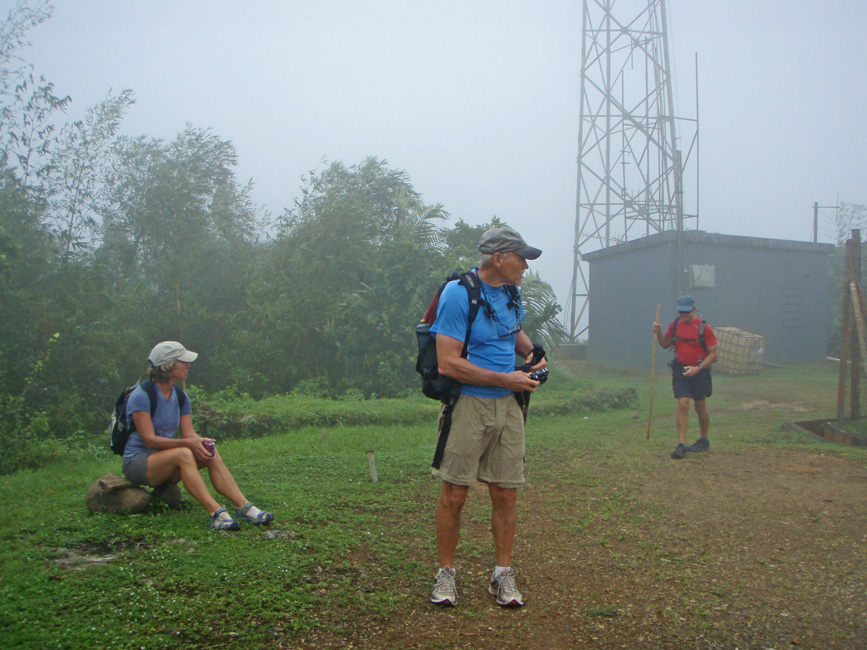
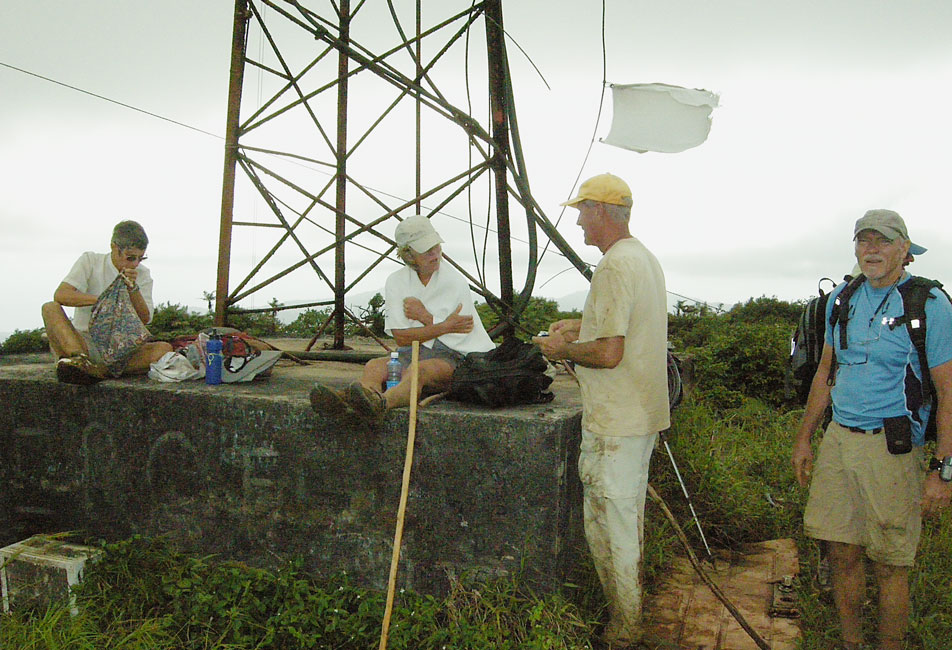
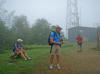
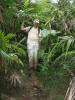
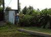
** Resting at UNP (and looking for the path to St. Catherine)
|
|
|
|
More folks resting at UNP before pushing into the bush
|
|
|
|
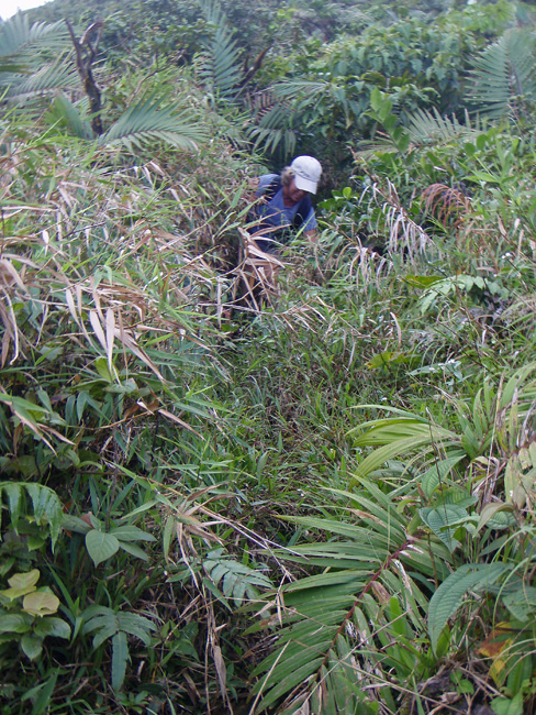
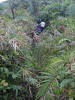
** Typical overgrown and clogged section
|
|
|
|
|
|
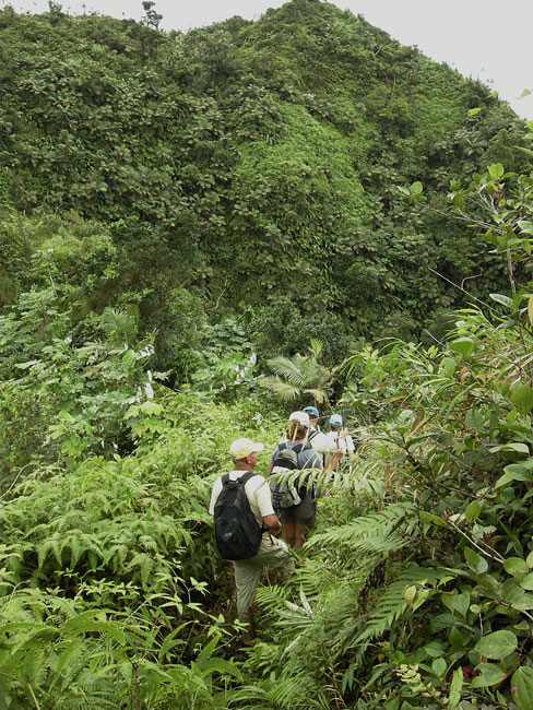
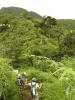
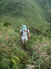
The path was along a ridge that ran from UNP to St. Catherine
|
|
|
|
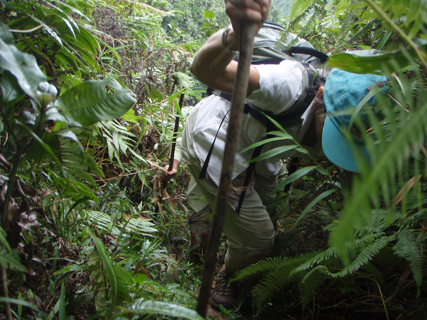
** Jim on a typical muddy section
|
|

|
|
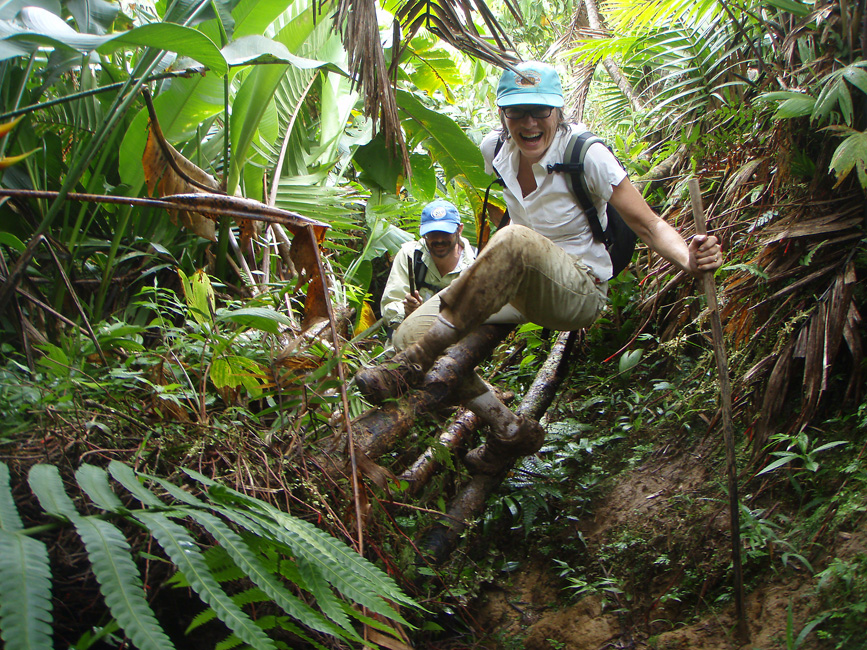
** Ann and Steve climb over an obstacle
|
|

|
|
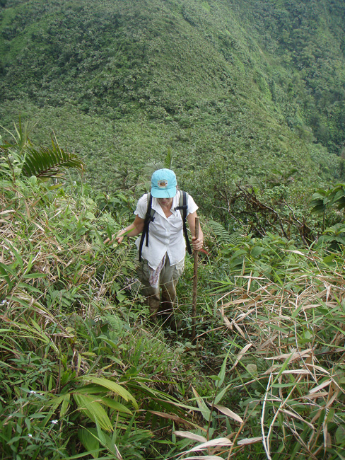
** Ann negotiating a muddy (and steep) section
|
|

|
|
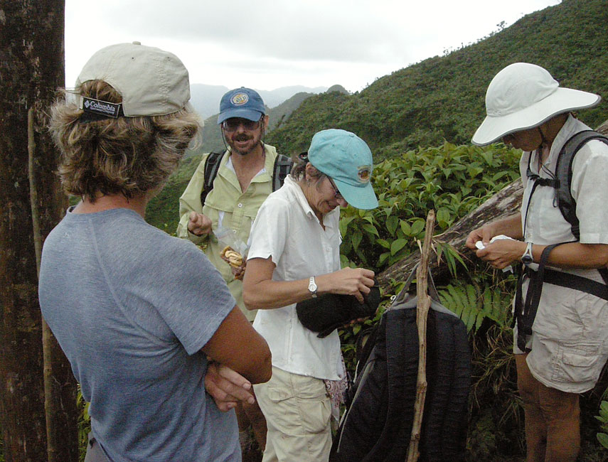
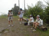
Snack (and rest) break along the way up
|
|
|
|
|
|
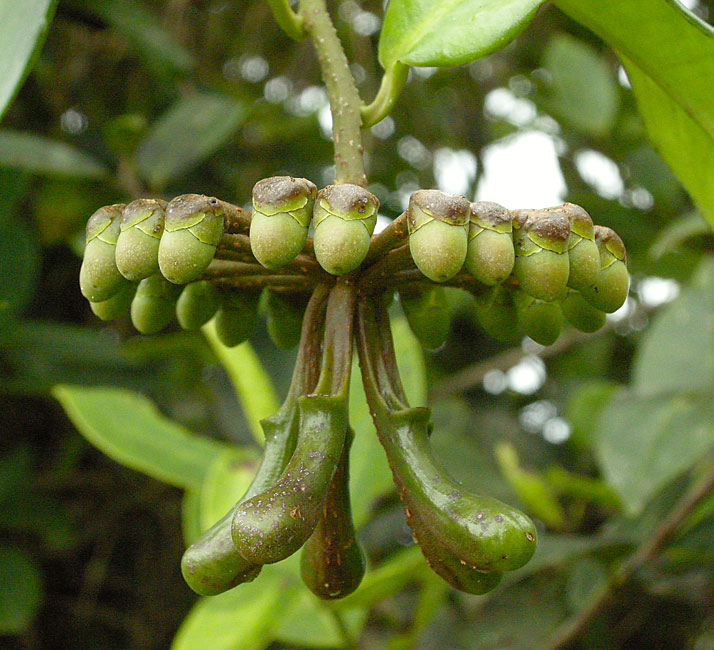
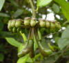
Interesting berries found along the way
|
|
|
|
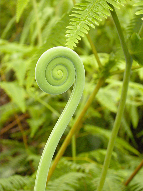
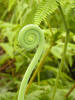
Lots of ferns in the rainforest along the slope
|
|
|
|
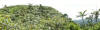
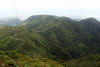
Panorama along the way
|
|
|
|
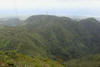
Another ridge shot
|
|

|
|
And another
|
|
|
|
|
|
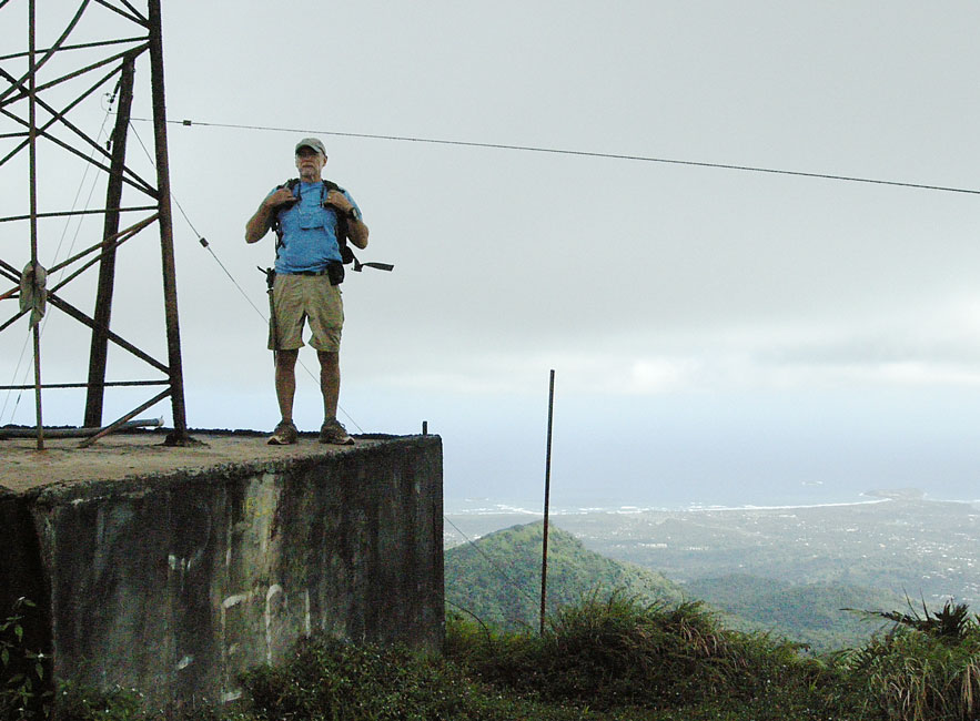
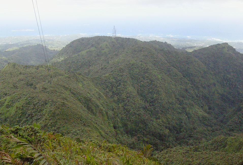
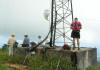
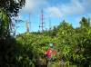
Tower at the top of St. Catherine
|
|

|
|
Quite a view
|
|
|
|
|
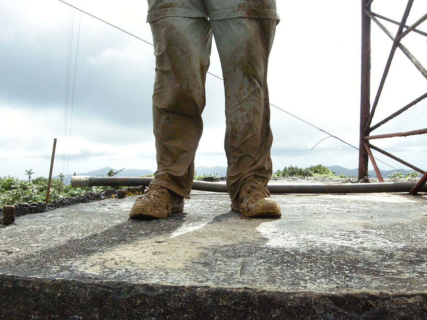
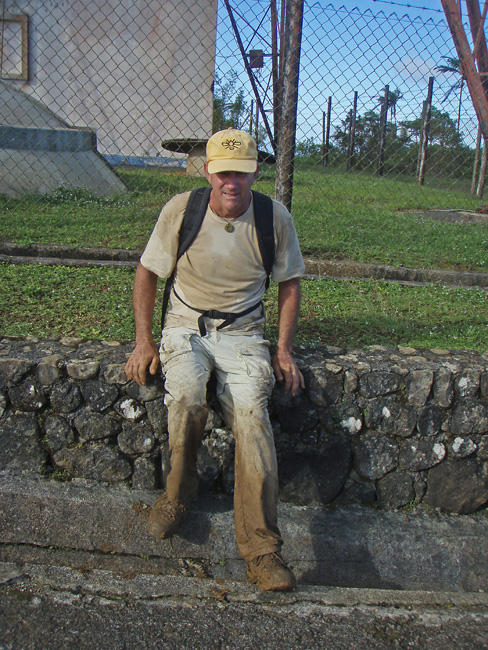
Our pants were muddy, and would get much worse on the way back down
|
|
|
|
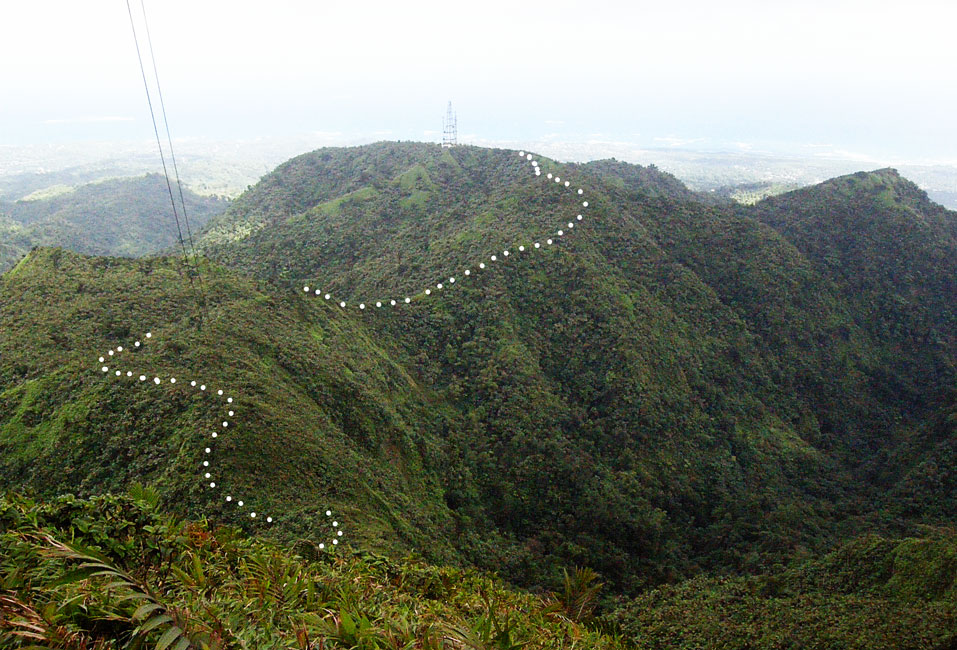
Looking down from St. Catherine to UNP, showing the ridge ...
|
|
|
|
|
|
... along which our path ran
|
|
|
|
** Ann returning on an open stretch
|
|
|
|
Nearly back to UNP, Hunter pauses to observe a hawk
|
|
|
|
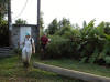
Breaking out of the path and back to UNP, here comes Barb ...
|
|
|
|
... and Ann and Hunter
|
|
|
|

|
|
... and Devi ...
|
|
|
|
... and Ann and Jim
|
|

|
|
** Jim rests back at UNP
|
|

|
|
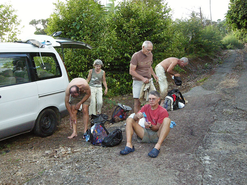
We stopped at a public faucet higher up on the concrete road -- here we finish cleaning up back at the van
|
|
|
|
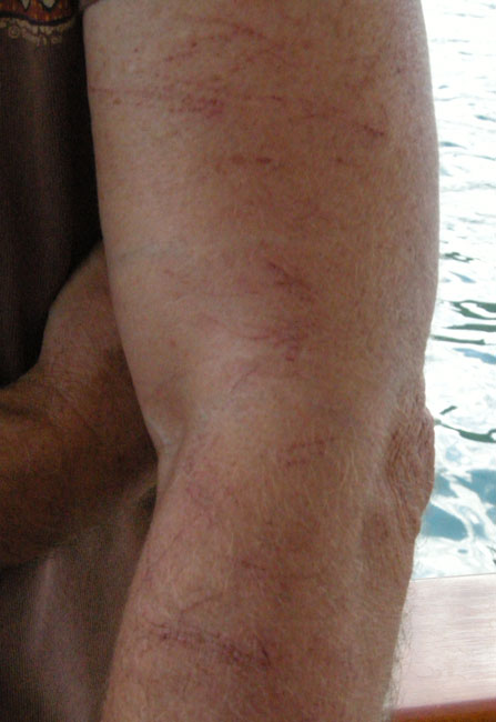
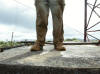
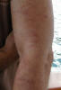
After-effects of hiking through razor grass
|
|
|