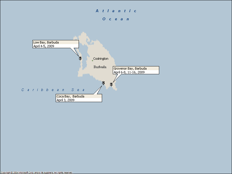
 Barbuda: April 3 - 16, 2009
Click on the above thumbnail for a map during this time period
Picture a Caribbean island. Can you see it? If you
have never been to the Caribbean, chances are the picture in your mind would
match Barbuda better than most other islands in the West Indies. No
island has cleaner waters. No island has longer or prettier or more
deserted beaches. If you have been to the Caribbean, then you
might have pictured volcanic mountains and expensive vacation homes in gated
communities and busy cruise ship destinations filled with overweight tourists
and hustling taxi/tour drivers and shops selling jewelry or
expensive clothing or made-in-china souvenirs or trinkets or duty-free liquor . None of that applies to Barbuda.Barbuda (pronounced by locals as "bar-byou-da", rhyming with
"Bermuda") is the sister island of Antigua, and lies about 30 miles
to the north. They share a government, but little else. Barbuda is a low island whose highest point is only 125 feet above the sea. It is about 14 miles long by 8 miles wide. It has a scant population of about 1600 inhabitants, most of whom live in the
village of Codrington. The locals are the descendants of slaves imported
by the Codrington family, who leased the island from England, beginning in 1685,
for one fat sheep. The island never had a sugar plantation.
Instead, the island was used for growing livestock and root crops for Codrington's estates in Antigua, and as a hunting ground for the Codrington
family. (Wild donkeys, deer, boar and feral cattle and horses still
roam wild on the island. Sheep and goats also roam the bush, but they
mostly return to their pens at night.) When the slaves were freed, they stayed on the island,
living in a cooperative way. Land is held communally here, and so it
cannot be sold to outsiders. Indeed, even locals cannot buy land:
they lease it for a fixed period of time. Consequently, the island has so far
succeeded in turning back any outside-sponsored attempts at "development".
All of this according to Chris Doyle, who in his guide to the Leeward Islands, mentions
several examples of the local's efforts to keep Barbuda as it has always been. In one, locals succeeded in halting the construction of a large desalinization
plant, fearing that it might harm the large lagoon that serves as a nursery for
fish and is the site of one of the largest frigate rookeries in the world. In another, the Antiguan government allowed a huge hotel project to begin on
Spanish Point. The locals wanted to keep the area as a park, and
went en-masse to the project and shoved the mobile construction offices over a
cliff. The area will remain a park.
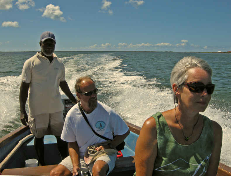
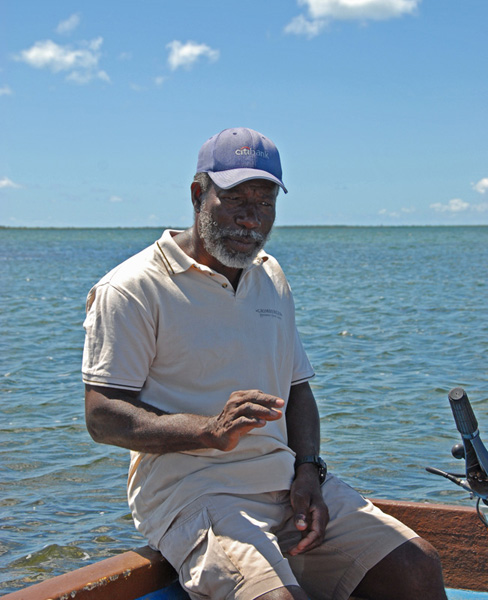
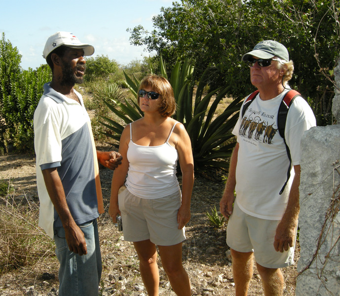
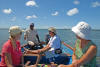
We joined another couple, Mike and Kate (Mudkat), and engaged
George Jeffrey, reputedly the most knowledgeable and capable guide on the
island, for a tour of Codrington Lagoon, the large salt water pond just a few
yards inland (separated by a narrow strip of sand dunes) from the western shore. We were not disappointed. George was an engaging, articulate, knowledgeable, and even philosophical
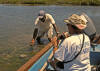
guide. We had left the dinghy on the sandy shore, walked the 30-or-so yards
across the sand dunes, and joined George and his wooden pirogue in the Lagoon.
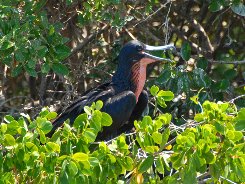
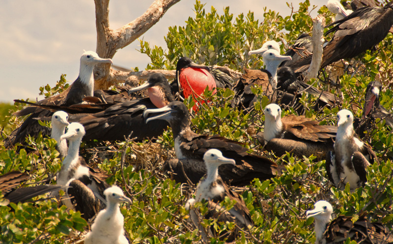
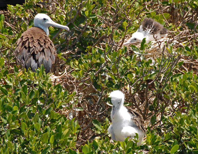
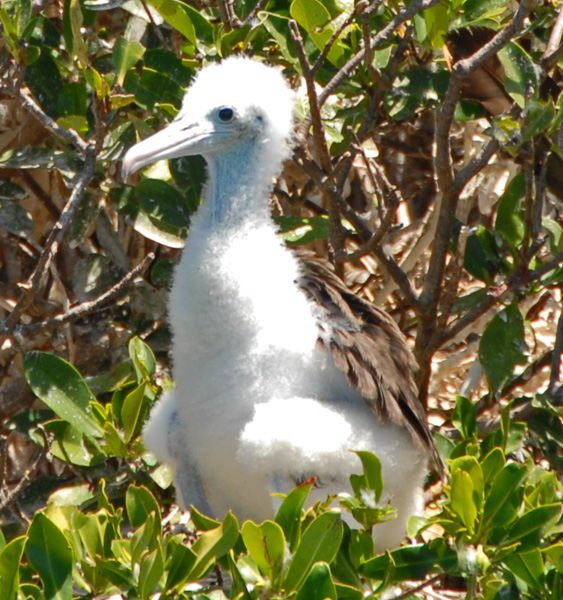
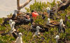
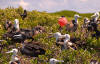
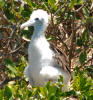
He first took us to the 1/4 x 3/4 mile rookery area, where there were still lots
of frigatebirds. The mating season is over, and many of the nests were
occupied by flightless fledglings waiting to be fed. Hope springs eternal,
so a few of the adult males still possessed and inflated the red throat pouches
that are used to attract females interested in mating. None of the
inflated males
got "lucky", so far as we could see.
At the conclusion of the tour as we were taken to Codrington, we
passed an interesting large buoy. The thing turned up one day at the
north end of the island, floating near the entrance to the Lagoon. Locals attached a line and drug it in to its current site very near the
settlement. George has been including it in his tours ever since,
and finally one of his clients got curious enough to copy down identifying
information and use the internet upon their return home to look up the original
location of the buoy. Remarkably, the buoy's "home" was along the
shore of eastern Canada. Currents don't run from Canada down to the
Caribbean, so the only explanation is that the buoy took the long way around,
heading north and then over to Europe and then down the western coast of Europe
and then back across from Spain, or North Africa. Looks like someone bumped
into it at some point -- there is a substantial ding in the thing.
|
|

|
|
Underway in the Lagoon
|
|
|
|
Pausing to discuss and explain
|
|
|
|
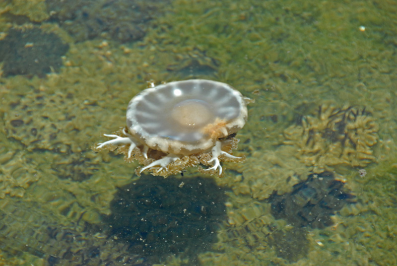
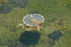
Turning "upside-down" jellyfish rightside up.
|
|
|
|
Upside-down jellies on the bottom, and an overturned jelly on the surface
|
|

|
|
George -- tour guide extraordinaire
|
|
|
|

|
|
Male with deflated mating pouch
|
|
|
|
Hoping ...
|
|
|
|
... and hoping
|
|

|
|
A juvenile and two infants
|
|
|
|
Fuzzy frigate feeling frisky
|
|
|
|

|
|
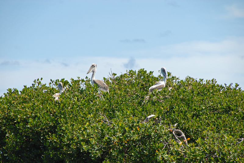
Immature (and still flightless) pelicans at the former site of the frigate rookery
|
|
|
|
Well-travelled buoy
|
|
|
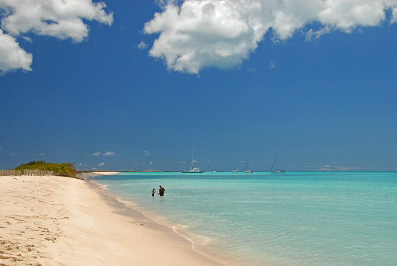
We originally anchored in Low Bay, where we had easy access to the area where
George could pick us up in his boat to take us on a tour. George
told us that during the summer, when the winds shift to the southeast, the sand
settles out and the area has crystal clear waters. But that had not
happened yet when we were there in early April, and so the waters were milky
with sand. That rendered the waters a beautiful turquoise, beautiful to
look at but not good for snorkeling or for fish watching, since the sand
obscures the vision and drives the fish elsewhere. Here are some
pictures from the area:
|
|

|
|
Barb went for a walk along the mostly-deserted Low Bay beach, and met our new acquaintance Mike (Mudkat)
|
|
|
|

|
|
Waters of the Lagoon are green in sandy areas
|
|

|
|
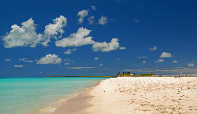
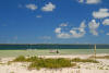
Looking south along Low Bay ...
|
|
|
|

|
|
... and looking north
|
|
|
|
Looking east into the Lagoon from the sand dunes
|
|
|
|
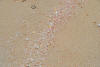
Q: Can you see why the sand looks pink from a distance? A: Red fragments of sea shells
|
|
|
|
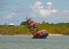
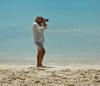
Yours truly capturing the scene
|
|
|
On April 6 we moved from Low Bay over down to Grovenor Bay (known by locals as
White Bay), where the reefs protect the bay and hence the water is much clearer. As in, no suspended sand particles. So the color of the water
changed, and the snorkeling got many thousand times better. Here are
some pics from the area, including shots taken on hikes out of the bay:
|
|

|
|
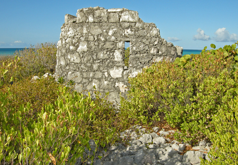
Old fort ...
|
|

|
|
...on the south side of the island
|
|
|
|
Squad! A-ten-hut!
|
|
|
|
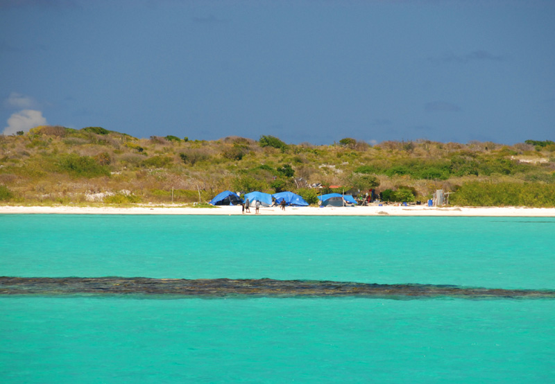
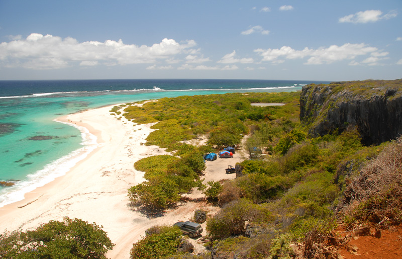
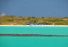
Group of tents in an apparantly-semi-permanent settlement at White Bay
|
|

|
|
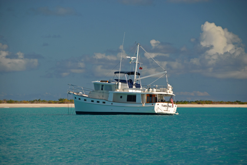
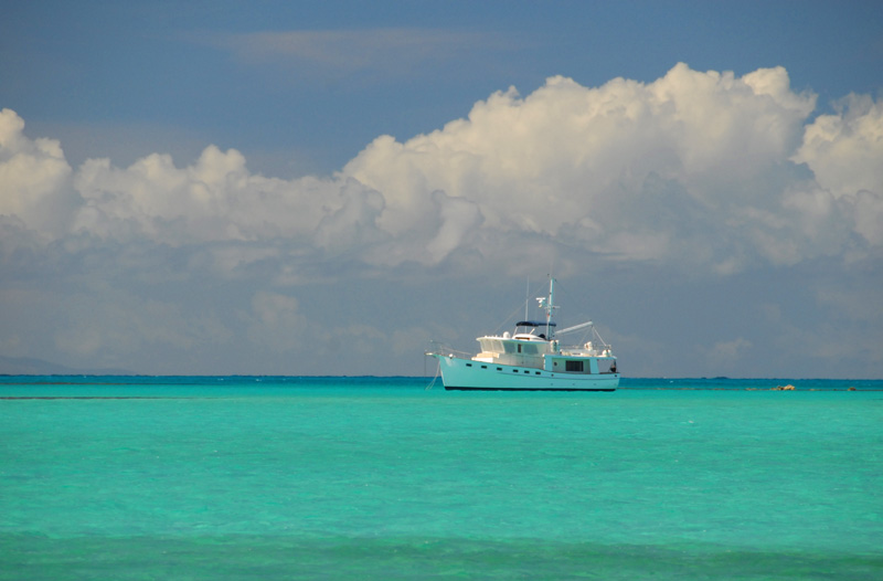
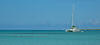
Tusen Takk II in White Bay ...
|
|
|
|

|
|
... note the reefs
|
|
|
On April 8 we returned to Jolly Harbour, Antigua, where we were reunited with
Steve and Linda (Seaman's Elixir), who arrived from St. Martin. As
we socialized with these good friends, we compared notes on Barbuda, and found
that neither crew had seen much of the interior. Since neither
vessel was in much of a hurry to head south, we decided to go back up to Barbuda
and commission a land tour of the island. Arriving back at Barbuda
on April 11, we found nearly 20 vessels crowded into the little anchoring spot
between Spanish Point and the reefs, so we elected to revisit Tusen Takk II's
former spot in the middle of White Bay, far from the maddening crowd. We also observed that there were many locals camping along the sandy shore --
escaping the land-locked village of Codrington over the long (Friday through
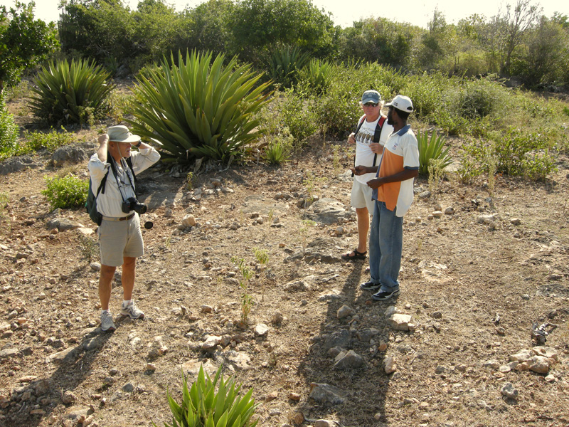
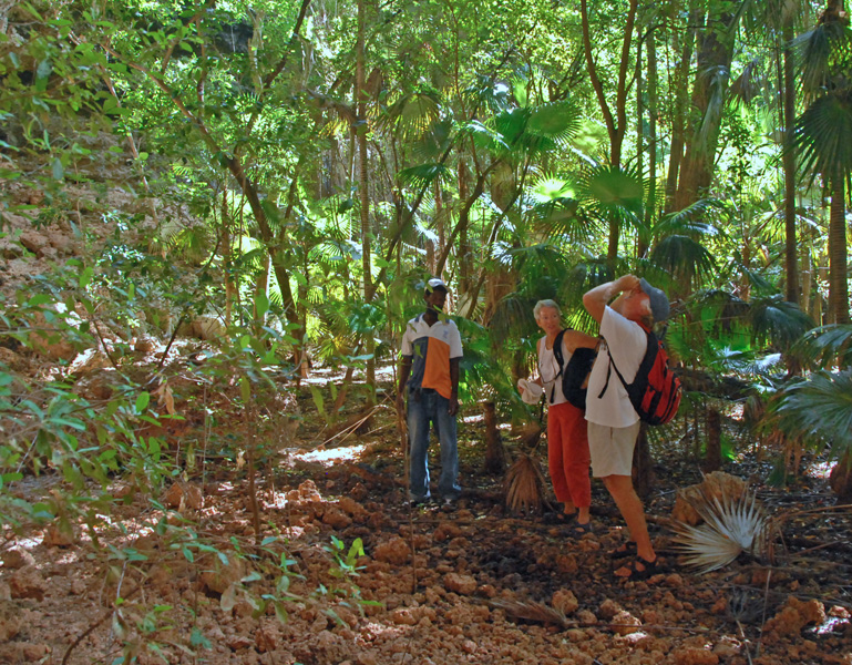
Monday) Easter holiday weekend. On Monday we were taken on a tour by Dalma Desuz, who runs a taxi/tour service along with his brother Devon. (771-9444 or 721-3392) Devon was in Antigua, and Dalma had other fares and
was thus unavailable for walking into the bush, so we were also joined by a
local from Codrington named "Elvis", who did an admirable job of guiding and
explaining.
Our first stop was at the bottom of the Highlands near the ruins of the original Codrington Estate.
The Estate is perched up on the top at the edge of the 125' tall Highlands, and
as we walked up the steep road to the Estate itself, it became clear why the
taxi had stopped at the bottom: the road was covered with loose sand and
small rocks that made traction difficult for walking, much less driving.
|
|
|
|
|
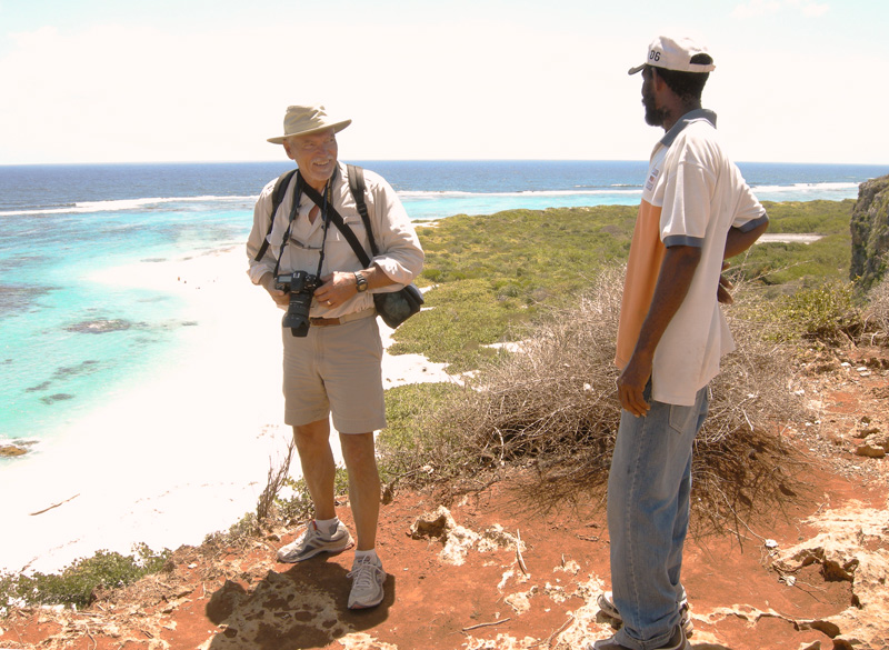
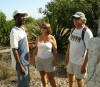
Guide Elvis and Linda and Steve
|
|
|
|
|
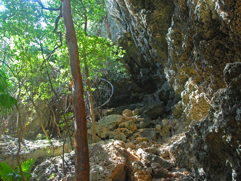
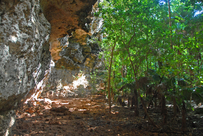
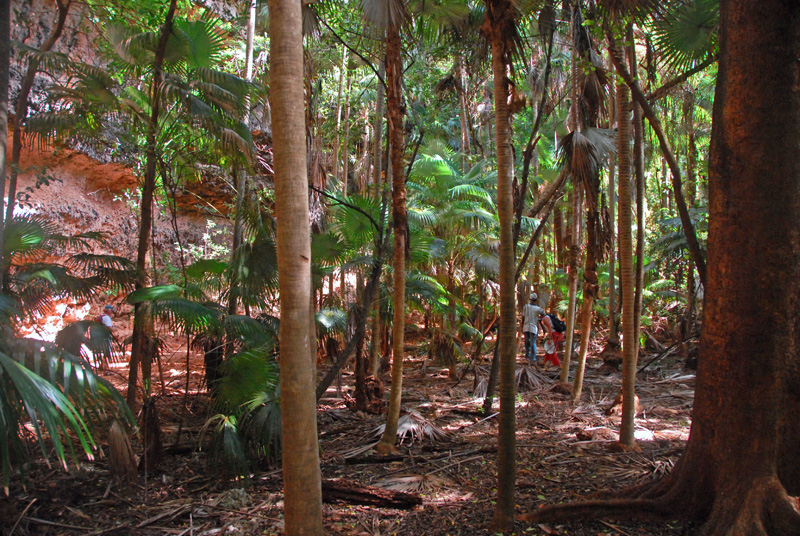
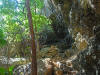
From there we walked through the bush in the Highlands for about 45 minutes to
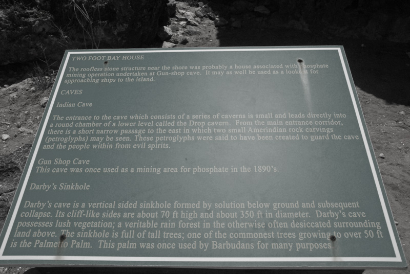
arrive at the Darby Sinkhole, which is round and like a crater, about 100 feet
deep and about 100 yards in diameter. The sides are mostly sheer or
slanting inward, but on the south end there is an area down which one can
scramble to the flat and cool floor of the hole. Above, in the
highlands, it is dry and hot and "scrubby", if that is a word. In
the sinkhole it is cool and filled with vegetation that reaches to the top of
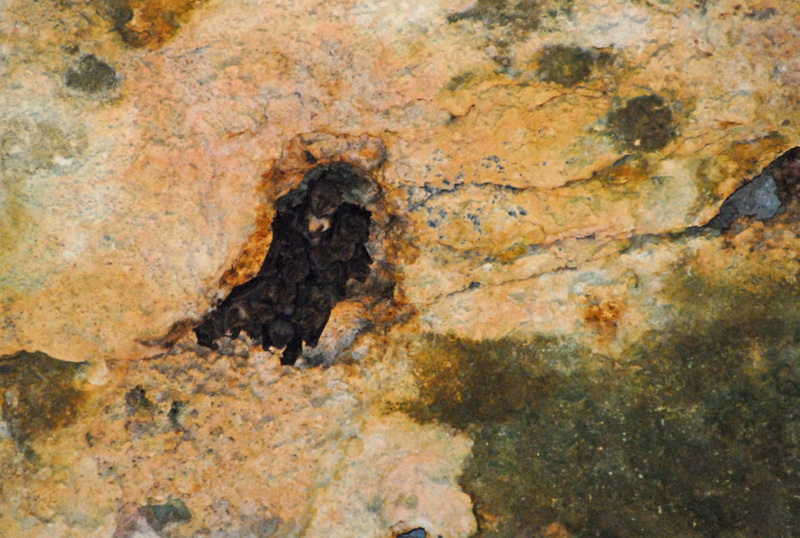
the hole. Along the overhanging walls we saw bats crowded into holes
of the cliff. A fascinating place.
|
|

|
|
Dusty path from the Estate to the sinkhole
|
|

|
|
Looking north along the edge of the sinkhole, with the tops of the vegetation in the hole at eye level
|
|
|
|
"Scramble-down" spot
|
|

|
|
Under an overhanging wall
|
|

|
|
Vegetation in the flat and cool bottom
|
|
|
|

|
|
Looking at drip spots and/or bats
|
|

|
|
One of the holes in the overhanging wall that was stuffed with bats
|
|
|
|
Then, back to the Estate and down the hill of the Highlands to Dalma and our
waiting taxi. On to Two Foot Bay, which borders the north end of the
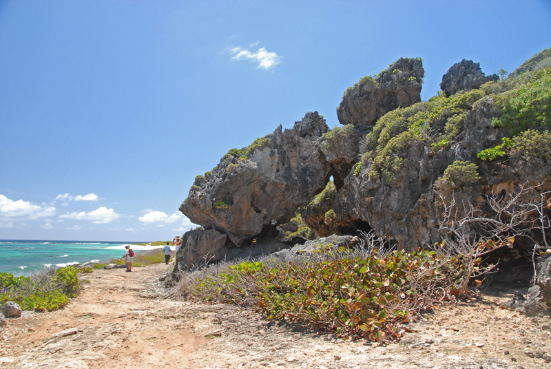
Highlands. The road ends here, but before it does it wends through
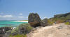
huge boulders and deep caves on the right and a rocky shore on the left. At its very end is another of Barbuda's gorgeous beaches, and here we found more
locals camping on their long weekend.
|
|
|

|
|
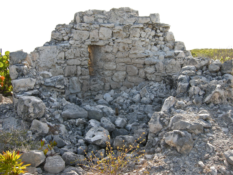
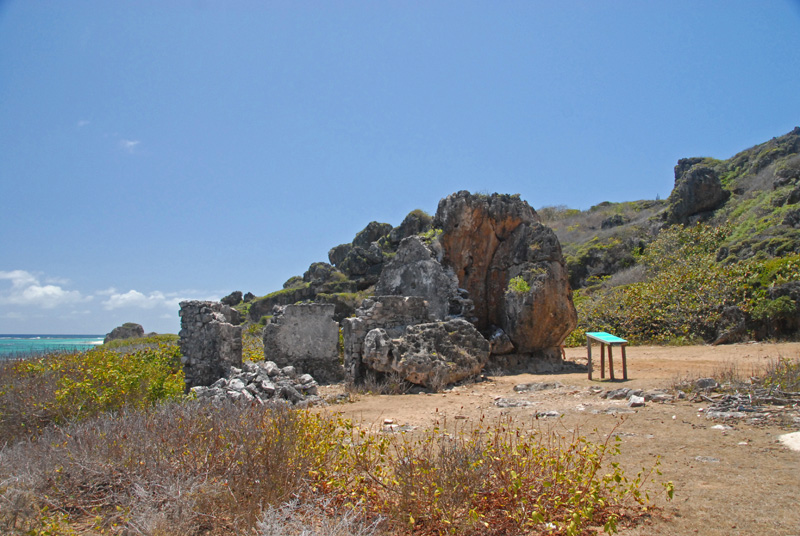
Ruin at Two Foot Bay.
|
|
|
|
Short walk along ...
|
|
|
|
... the boulder strewn road ...
|
|

|
|
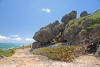
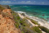
... to the beach, seen here to the southeast from atop the 100 foot cliff above the caves
|
|
|
|
|
|
Looking in the other direction to the northwest
|
|
|
|
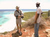
Elvis and Chuck are amused at Barb's concern that Chuck is too close to the edge
|
|
|
There are two caves along the cliffs of Two Foot Bay that form the northern
border of the highlands: Indian Cave and Gun Shop Cave.
Indian Cave
|
|
|
|
Our guide Elvis and Steve
|
|

|
|
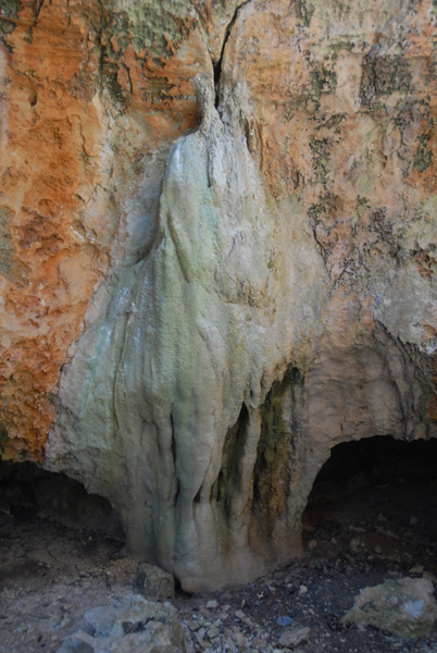
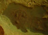
Dripping water has left this deposit
|
|
|
|
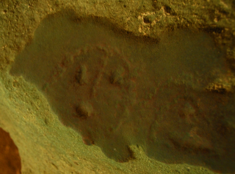
Small petroglyphs in the cave
|
|
|
Gun Shop Cave
|
|
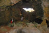
|
|
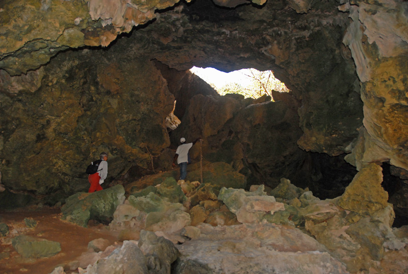
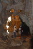
Exit up through this hole in Gun Shop Cave leads to the summit above with its overlook of the shore/beach
|
|

|
|
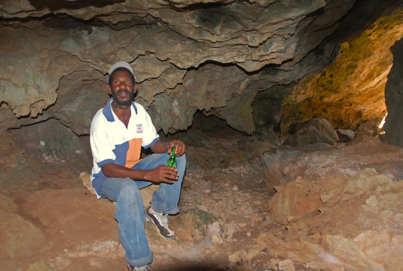
Elvis relaxing in the cool cave
|
|
|
|
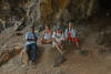
Driver Dalma, Linda, Steve and Barb at the mouth of Gun Shop Cave
|
|

|
|
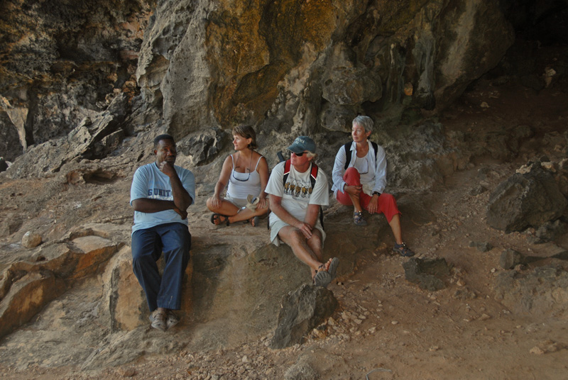
Elvis deep in explanation
|
|
|
On the way back, we stopped in Codrington for lunch at Jackie's Wa O'moni's
Best. ("Wa O'moni" is the original Kalinargo name for Barbuda). No
other customers, since it was the holiday of Monday-after-Easter, but we had
called ahead and she had our delicious meals all ready for us. Then, on
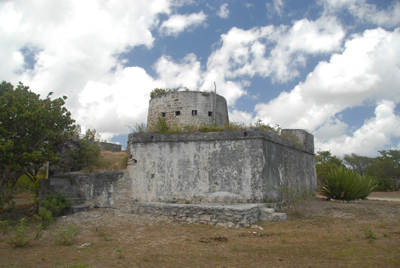
our way to our dinghy on the shore of White Bay, on the road south of Codrington
we stopped at Martello Tower. It is very old, and in surprisingly good
shape. Closer examination reveals why: the walls are over five feet
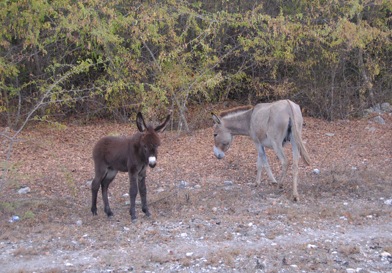
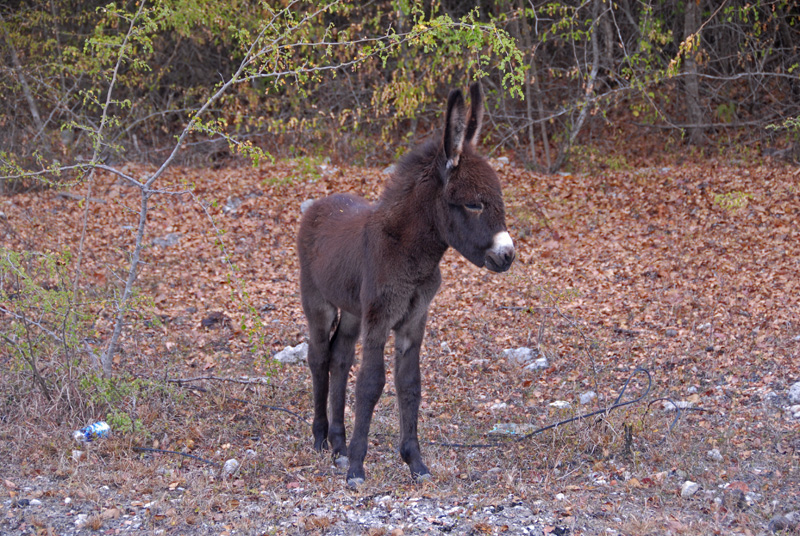
thick! We also stopped to photograph donkeys along the way.