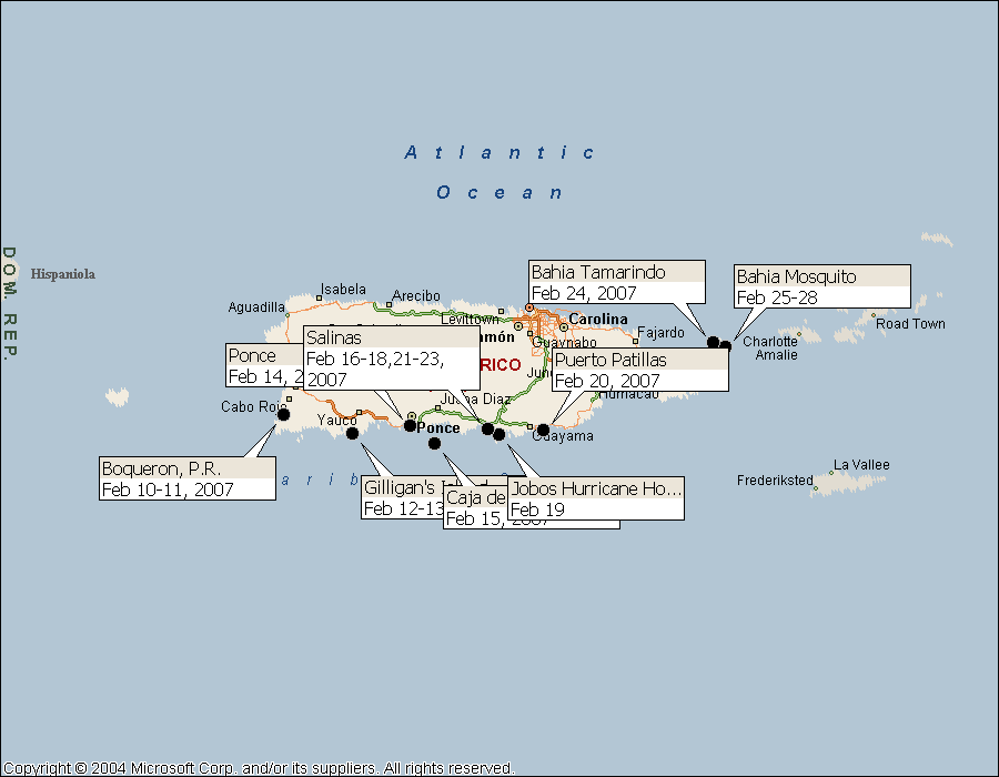
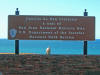
Puerto Rico: February 10-28, 2007

Click on the above thumbnail for a map during this time period.
Puerto Rico, and The Dominican Republic share some characteristics, such as a
decided preference for Latino music played at ear-splitting levels.
Picture this: a pickup truck driving through the narrow streets of Samana, with
the cargo area filled with huge sound speakers that are aimed toward the tail
gate and are blasting salsa music at maximum volume. As the truck
passes us, Barb and I both instinctively cover our ears to protect our hearing.
Seated on the tailgate --right in front of the speakers -- are four or five
young children who seem happy to be in such a happening location.
Absolutely amazing.
Puerto Ricans also like their music loud and peppy. But we also noticed
differences almost immediately. The Dominican Republic is a poor
country. The streets are filled with old small motorcycles, piled
high with mostly thin passengers and drivers. Puerto Rico is not so
poor -- they pay no income taxes, but as a territory of the United States, they
receive financial aid of various kinds, and they enjoy the presence of USA
manufacturing firms and USA-name retail outlets. As a consequence of
the differences in living standards, the typical Latino tight-fitting clothes
get stretched considerably more in the PR. There are lots of
motorcycles in the PR too, but they are new and shiny and huge. The
standard small-town fare in the restaurants are similar if not identical:
rice and peas, chicken or pork, and a small iceberg salad, but in the populated
areas of the PR there are more alternatives: we had a delightfully
authentic Mexican dinner in Boqueron, and I don't mean the "Speedy Gonzalez"
special available in all of the "El Potro" restaurants spreading like kudzu
throughout the southeastern United States.
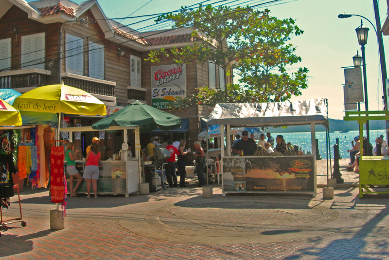
Boqueron is called the "Key West" of Puerto Rico, and while it doesn't quite
live up to that exalted standard, it is definitely a party town for motorcycle
aficionados and college kids from nearby Mayaguez. The narrow street
that parallels the beach is filled with bars and outdoor stands, many of which
sell clams and small local oysters. See pictures below.
Van Sant warns that the southern coast of Puerto Rico can be surprisingly
difficult to traverse, and recommends that one take small hops that commence in
the early just-before-dawn hours and terminate before the trade winds pick up --
certainly no later than 10:00 AM. We soon tired of Boqueron, and so left
before dawn on 2/12/07, traveling just 33 statute miles along with our friends
on Seaman's Elixir to Cayos de Cana
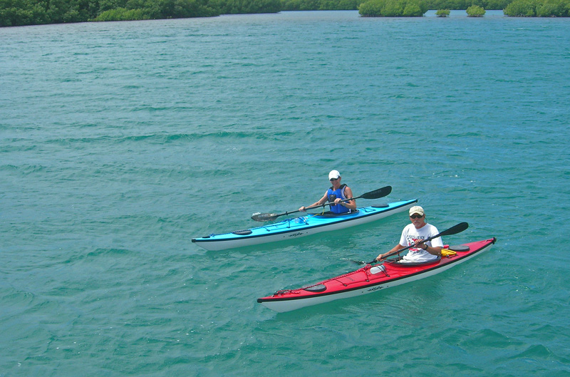
Gorda, better known to locals as Gilligan's Island. We dinghied over
to the State Park to see what the attraction was, and found a pleasant mangrove
island with numerous cleared-but-mangrove-canopied areas featuring picnic
facilities. On every day of the week but our day of the visit, the
park is the popular destination of a ferry that runs across from a nearby
mainland dock. When our explorations were complete, we returned to the
boats and launched our kayaks for an exploration of the waters around the
mangrove islands. Later, we crashed the resort and had a nice lunch
at the "guests only" restaurant.
We left the area at about 5:30 AM on Valentine's Day, and arrived in Ponce at
8:30 AM. Pulled into Ponce Yacht and Fishing Club in order to
purchase fuel. Took on something over 500 gallons, but that was our first
fuel since Ft. Pierce; we just love the fuel economy of our Krogen!
Van Sant said the fuel here was clean and inexpensive. Indeed it was -- we
paid less here than we had in Ft. Pierce -- quite a contrast to the prices we'd
seen along the way.
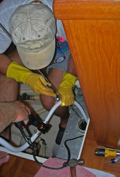
Along the way to Ponce, while in deep water, we attempted to empty our
holding-tank and discovered that something was amiss. We first tried to
get a pump-out at Ponce Yacht and Fishing Club, since our guide books listed
them as (uniquely) having a pump. Initially, they professed to not having
a pump. This might have been a language problem. Later, they
said they had "found" one, and soon showed up with a 20-gallon portable unit
that was to be operated by hand. Desperate, we gave it a shot.
The unit looked as if it had never been used. We attached new hose clamps
and got the thing to "suck", but it wouldn't pull anything up through the
deck pump-out fitting. It would, however, pump sea water. Later,
with Steve from
Seaman's Elixir lending a hand, we used his hose and his small drill-driven pump to
empty the 100-gallon tank and attempt to diagnose the problem. We
also used his plumber's snake to clean out a section of hose and the valve at
the bottom of the tank, and everything seemed fixed. Several days later,
on another deep-water hop, we were distressed to realize that the tank was not
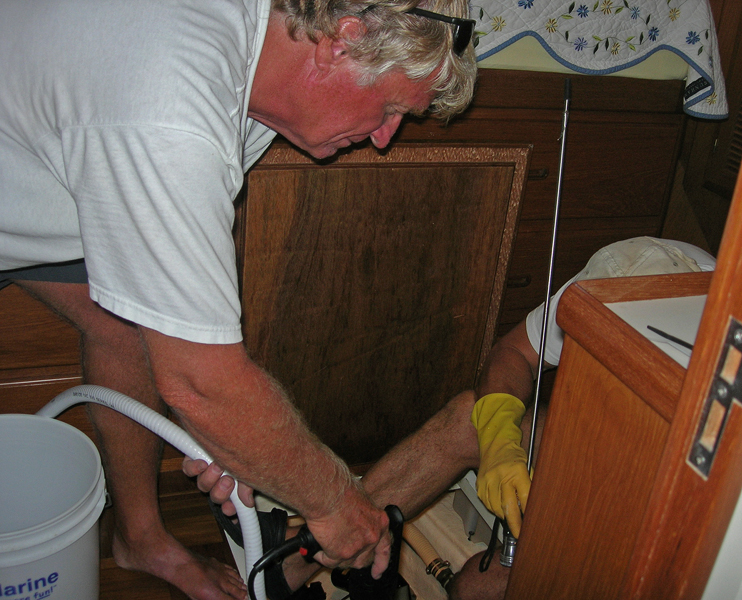
emptying again. In the meantime, I had purchased (at HOME DEPOT, no
less) my very own plumber's snake and a small, drill-driven pump. I
used the snake and also filled the suspect hose with vinegar, and once again the
pump seemed to work. Ran it just long enough in the anchorage to
declare success, and then later attempted to pump out in deep water. Once
again, no joy. As this is written, the problem has not been correctly
diagnosed and/or solved, although I suspect something is being pushed out of the
way by the snake, but being drawn back in by the initially-working pump.
[Later further efforts seem to have confirmed this suspicion -- the snake
apparently pushed through some blockage, but additional blockage would fall back
into the hose from a Y-fitting under the holding tank. Thoroughly
back-flushing the two hoses in both directions from the Y-fitting (and once
again thoroughly cleaning out the tank with the drill-driven pump) seems to have
now solved the problem.]
By the way, we are in the decided minority in using a holding tank. All
the sailboats we have talked to apparently switched their Y-valves to "direct
discharge" the moment they left United States waters. Just one reason why
we never run our water-maker when we are in a crowded anchorage. Or
go swimming.
The crews of Magic Moment, Seaman's Elixir and Tusen Takk II
went into Ponce Valentines Day evening, and had a nice if somewhat
leisurely-presented dinner. Barb and I were not particularly distressed by
the European-style timing, but others in the group were anxious to get in and
get out, since Ponce was smack in the middle of Carnival, and we had come in to
witness that event. If the rumored parade ever happened that night,
we missed it. But by the time we arrived back at the town square, a
huge crowd had gathered in front of a very large and very gaudily decorated
stage. Many speeches were given. Many R's were trilled.
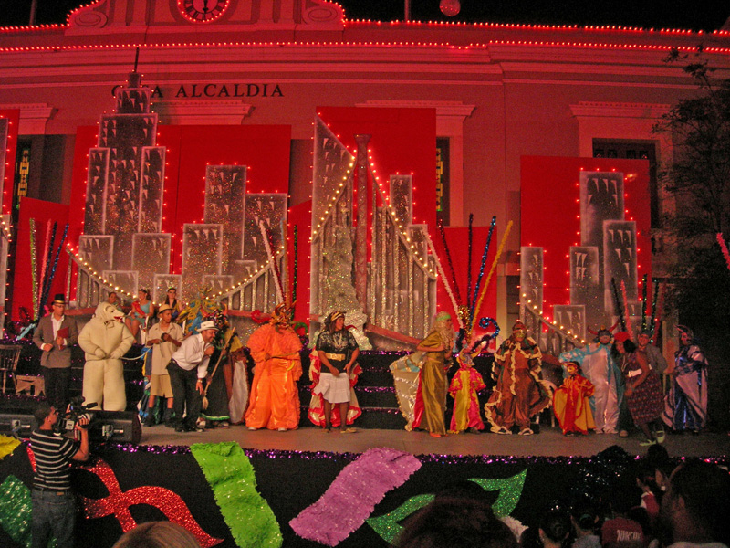
But eventually, a number of dance groups performed. Very
interesting. The groups were mostly female, and mostly teen and pre-teen.
Afterwards, the words most often used by the gringas amongst us were
"provocative" and "erotic". The gringos kept their mouths
shut, and pretended to have not noticed.
After a sleepless night of enduring extremely loud music from
competing bars on the shore nearby, we left at 9:15 AM the next morning , and arrived
at Isla Caja de
Muertos shortly after 11 AM. The name of the island stems
from its shape: it looks like a dead body stretched out on its back.
Hence, "Coffin Island". Another State Park, the island has a nice
system of paths, one of which climbs to the summit where a long-since defunct
light house sits on an installation that serves as an example of Spanish public
works going back to the days before the good old peace-loving USA grabbed PR
from Spain in 1898.
Boqueron, Gilligan's Island, Ponce, and Caja de Muertos
Pictures marked with (*) by Linda or Steve Kraskey
|
|
|
|
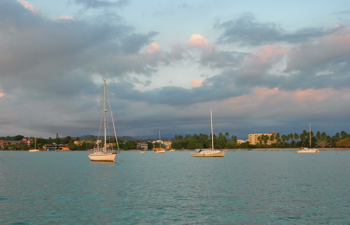
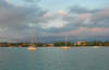
Boqueron at dawn
|
|
|
|
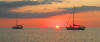
Sunset at Boqueron -- moments later Barb saw the green flash!
|
|
|
|
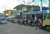
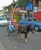
Motorcycles in Boqueron
|
|
|
|
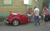
Not your DR-type motorcycle!
|
|
|
|
Showing off on the "see and be seen" street of Boqueron
|
|
|
|
|
|
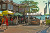
"Schamar" -- popular restaurant/bar right at the end of the dinghy dock
|
|
|
|
Dozens of these stands along the "main" street of Boqueron
|
|
|
|
*Obviously, this is a tourist town
|
|
|
|
In the mangroves of Gilligan's Island
|
|

|
|
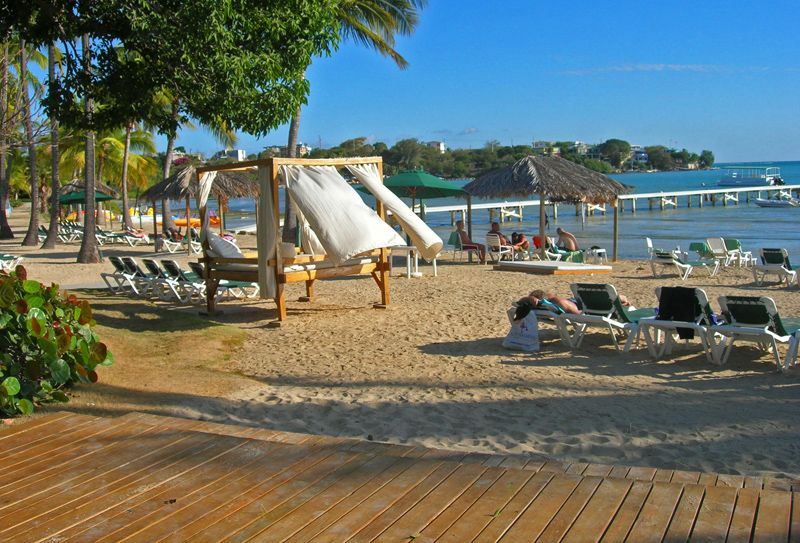
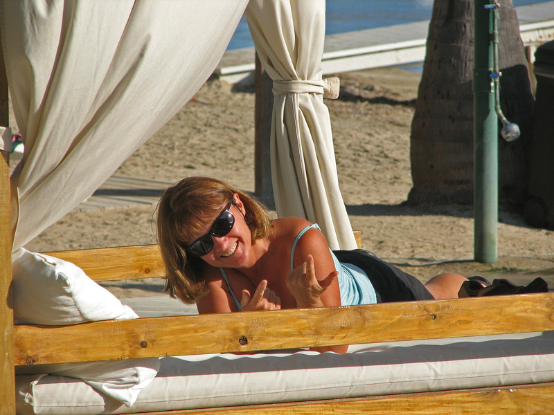
"Bed" on the upscale beach on mainland opposite of Gilligan's Island
|
|
|
|

|
|
*Linda knows what the bed might be good for
|
|
|
|
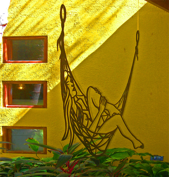
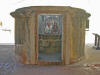
Wire figure in the resort
|
|
|
|
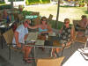
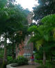
Lunch in the resort
|
|
|
|
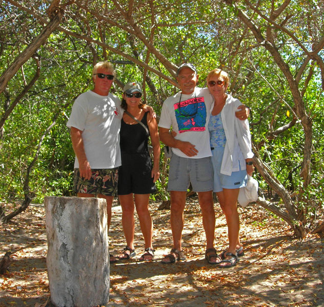
*At the Gilligan's Island anchorage
|
|
|
|
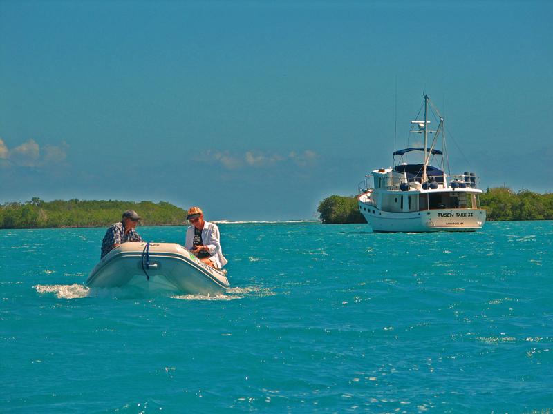
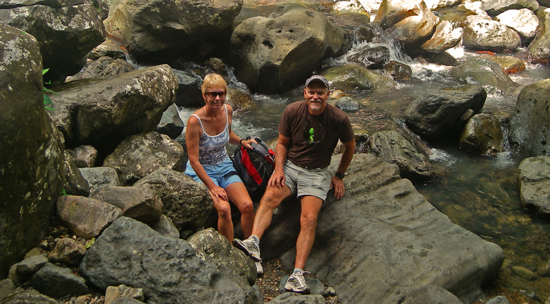
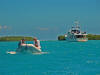
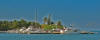
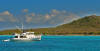
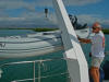
* Tusen Takk II at the dock at Ponce -- first fuel stop since Ft. Pierce, FL
|
|
|
|
|
|
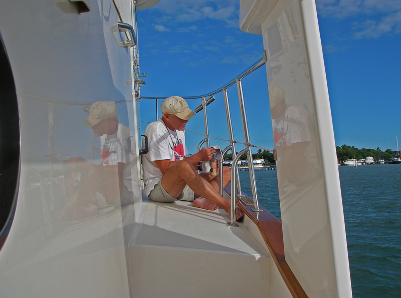
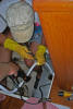
Chuck working on holding tank
|
|
|
|
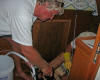
Steve saved the day with all his tools
|
|

|
|
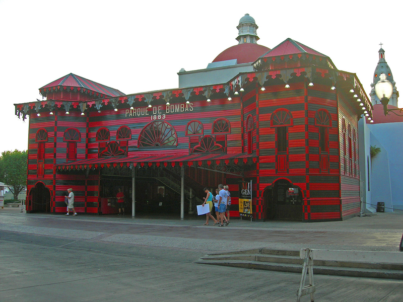
Old firehouse used for museum during Carnival in Ponce
|
|

|
|
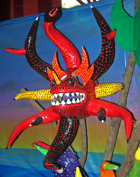
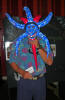
Mask on display
|
|

|
|
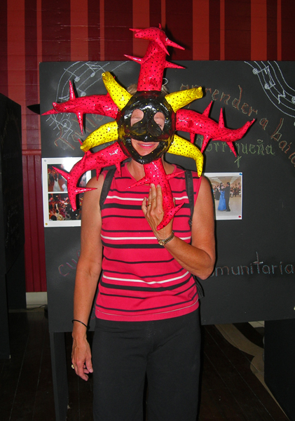
Barb w/ mask at Carnival display
|
|
|
|
|
|
Chuck with mask
|
|

|
|
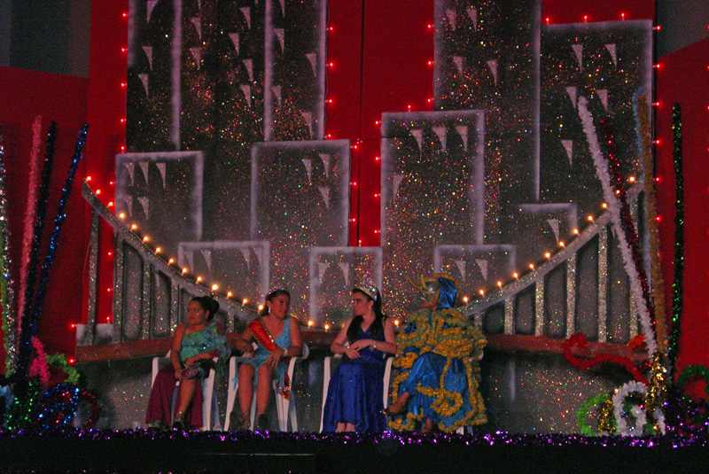
Carnival Queen and her court
|
|

|
|
Carnival stage
|
|

|
|
Dance
|
|

|
|
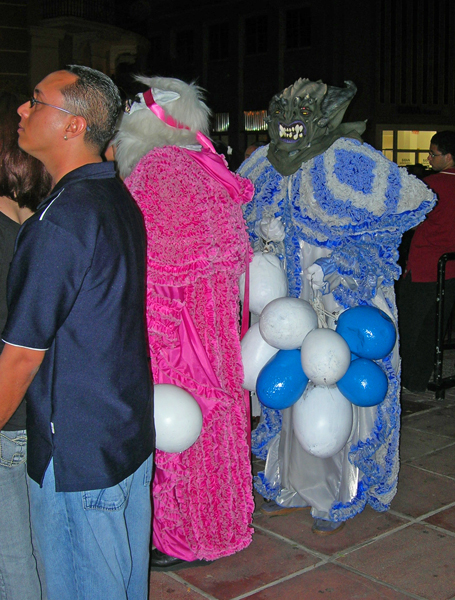
Carnival participants
|
|
|
|

|
|
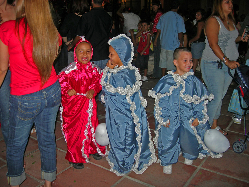
Notice painted cow bladders that look like balloons, but make a loud noise when banged together or against someone
|
|

|
|
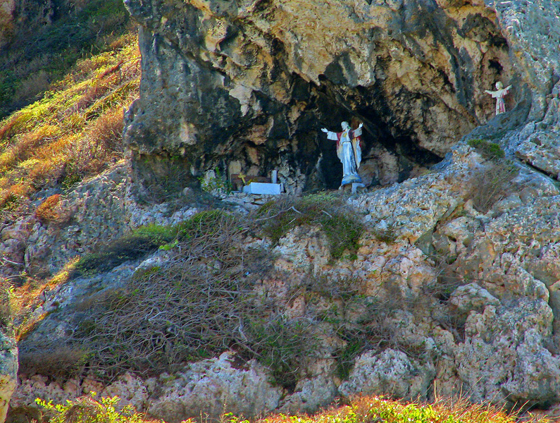
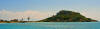
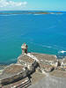
*Statues on hill at Isla Caja de Muertos (Coffin Island)
|
|
|
|
*The feet of the coffin
|
|
|
|
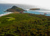
*Looking down island from the lighthouse
|
|
|
|
*TT II anchored off "... Muertos"
|
|
|
The next morning, another early start to travel to Salinas. We had been
told that postage rates into the Bahamas and Caribbean are generally outrageous,
and so we had not used our mail-forwarding service since before Christmas.
Puerto Rico, as a USA territory, is an exception, and so we had requested that
our stuff be forwarded to the reportedly cruiser-friendly Salinas Marina. We also had ordered flopper stoppers along the way, and they were also to have
been shipped to the marina. Well, the mail was there, and it was
good to read our Christmas cards and assorted financial papers. But
the flopper stoppers had not arrived. Subsequent calls to the
manufacturer -- Prime Fabrication -- revealed that they had been shipped
but were stalled by UPS in Los
Angeles, no less. "We are deeply sorry", we were told.
"We believe UPS will pick up the freight charges, but it will be another week before they
arrive." Meanwhile, Barb's old friend Monica -- meaning they have been
friends since grade school, not that she and/or anyone in this account is, or
ever will be, old -- was due to join us, and so our plans to cruise east
with her down the southern coast of Puerto Rico and then lollygag in the Spanish
Virgins would have to be modified somewhat if we were to be back in Salinas to
pick up the missing freight. Also, the winds kicked up a bit, and
diving seemed less feasible. So, we chose to hang in the general
vicinity of Salinas while in the water, and rent a car to see some of Puerto
Rico while on land.
We used a rental car to drive from Salinas, on the southern shore of PR, up to San Juan,
on the northern shore, where we picked up Monica at the airport and then took
the short drive to Old San Juan, designated as a World Heritage site by the
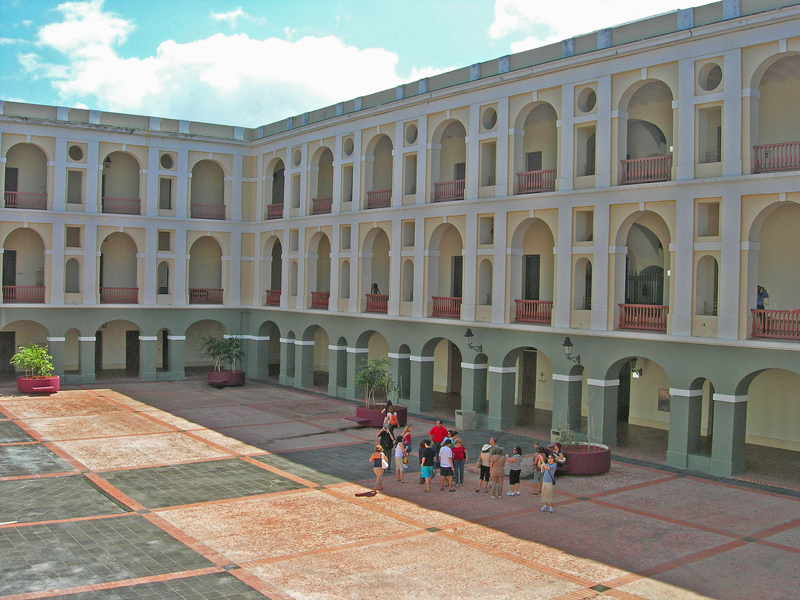
United Nations. Founded by Ponce de Leon as a military stronghold in
1510, the area is still partially surrounded by old city walls. The most
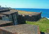
impressive structure in the area is Castillo de San Felipe de Morro,
commonly called El Morro. Sitting at the entrance to the
harbor, the fort was constructed under orders from the King of Spain by using
the treasury of Mexico. There were many phases of construction,
running from 1539 to 1783. The fort defended San Juan for centuries
against the navies of Holland, Britain, and France, as well as numerous assaults
by pirates. El Morro finally fell to the Americans in 1898.
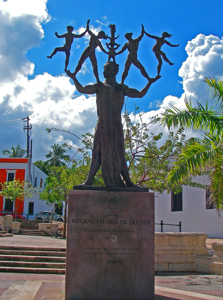
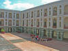
We also visited Cuartel de Ballaja, the largest building constructed by
the Spanish in the New World. The second floor is now the Museo de las
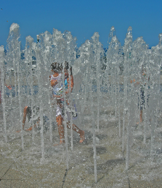
Americas, the Museum of the Americas. Nearby, sitting atop the
highest spot in the city, is a plaza commemorating Columbus' discovery of the
New World. A column points to Polaris, and a fountain, filled with kids
when we were there, features 100 streams.
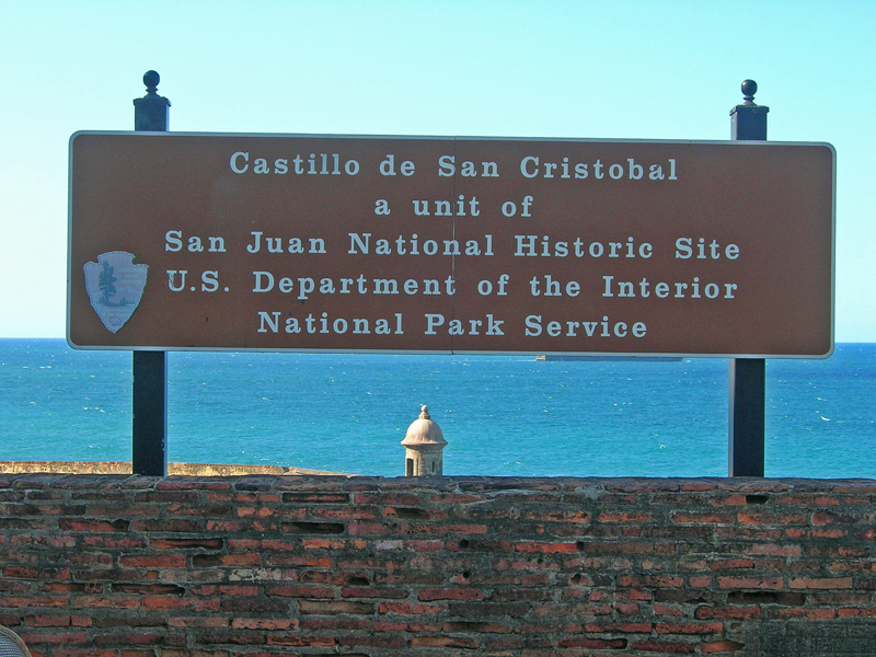
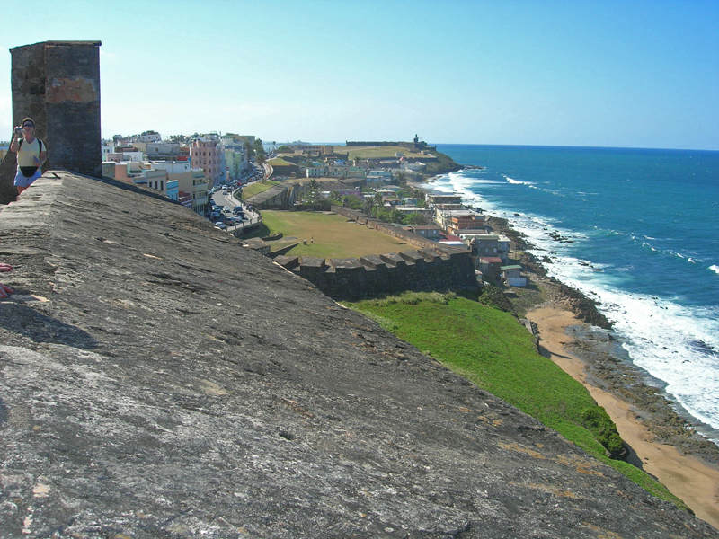
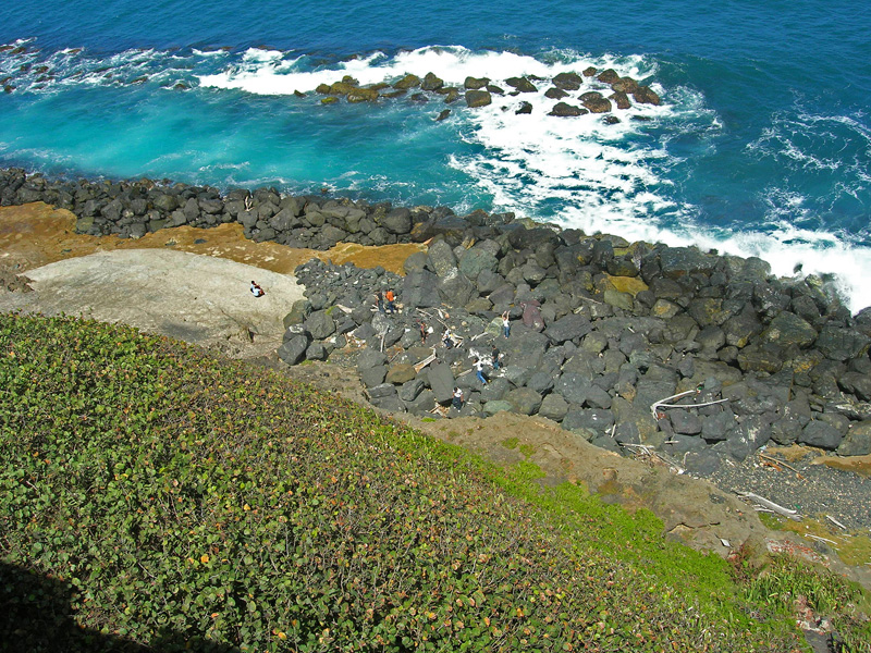
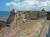
A half-mile from El Morro lies Fort San Cristobal. Begun
in 1664 and redesigned in the 1770's, the fort is one of the largest military
structures built in the Americas. Linked to El Morro by
cannon-protected stone walls, San Cristobal was designed to protect El
Morro from attack by land.
On 2/19/07 we temporarily left the Salinas anchorage and traveled a scant 5
miles to the Jobos, a mangrove region famous for its many hurricane
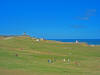
holes. Saw a manatee as we arrived. The girls went exploring
with the dinghy, discovering cuts to the reef through some of the mangrove
islands, while Chuck stayed back to polish the stainless steel rails. Went
another 19 miles the next morning to Puerto Patillas, where we went
ashore and explored the small town. In a local bar we enjoyed
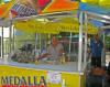
empanadillas and the inexpensive but quite bland Puerto Rican beer
Medallas. (An aside: Chuck is still pouting about not having
laid in a case or two of the also inexpensive but much tastier DR beer:
Presidente.) We struggled with visiting with several of the friendly
patrons: they knew about as much English as we knew Spanish. The next
morning Chuck and Monica went for a long run, and then we headed back west 18
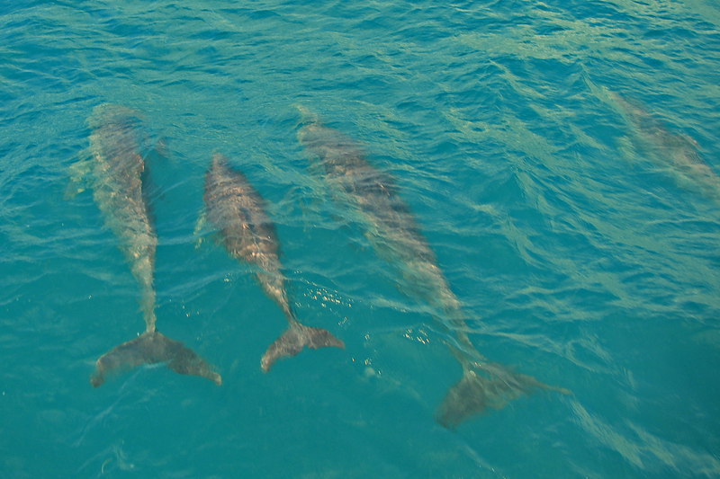
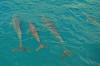
miles to Cayos de Barca, another mangrove area. As we approached
the reef protecting the mangroves, we were joined by a sizable pod of bottlenose
dolphins that delighted in riding the pressure wave off of our bow.
That is always fun to see, but how much more so when the water is so clear!
Chuck and Monica launched the kayaks and briefly explored, but the winds were
howling and so they stayed pretty close to the mother vessel.
And then, on 2/21/07, back to Salinas, where the flopper stoppers finally
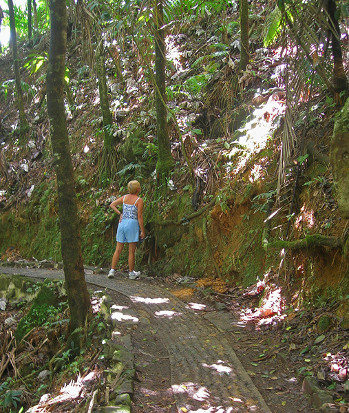
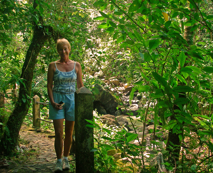
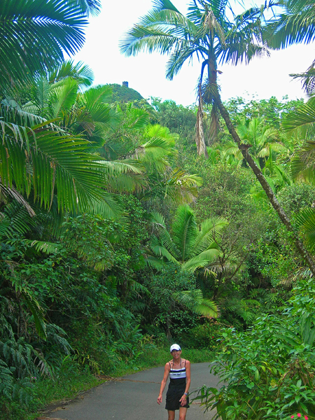
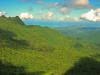
arrived, and we decided to again rent a car and go see the El Yunque
Caribbean National Forest, the only tropical rain forest in the United States
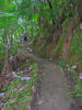
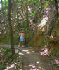
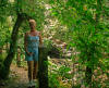
park system. We walked concrete or asphalt paths deep into the
forest under tall trees along and up steep slopes to waterfalls and lookout
towers. We heard doves and the richly textured resonant songs of the
coqui frogs, named for their call: "co-key, co-key". To
get to El Yunque, we had to drive up to San Juan and then easterly to the
northeastern corner of PR. Going back that same way, during rush
hour, had no appeal, and so we instead took the somewhat longer but much more
scenic and certainly less clogged option of driving back to Salinas by going
south along the eastern coast, and then west along the southern coast.
Friday, 2/23/07, Barb took Monica -- an ideal guest who left far too soon -- to the San Juan airport and
then shopped at the Mall of Americas (the largest mall in the Caribbean) on the
way back, while Chuck, as mentioned above, used his own tools this time and
worked on the pumpout problem.
Saturday we left Salinas at 6:00 AM and headed for Culebra.
Expected the trade winds to come up eventually, and so to not make it the whole
distance of 74 miles, but the weather gods were nice to us, and we had a
gorgeous passage the entire way. There are mooring buoys in the protected
bays on Culebra, and so we tied to one on the west side of the island:
Punta Tamarindo. By morning we had large swells coming in from
the north, and so we moved to a more protected area south of the town of Dewey:
Bahia Mosquito. Our bay is just outside the crowded harbor
Ensenada Honda, and we are the only vessel here. We have enjoyed
just sitting here, getting caught up with boat projects and reading.
Also we set out the new flopper stoppers. The verdict: we
should probably have longer arms; we are just using the boom on the mast to
starboard, which takes the flopper out about six feet past the hull, and the
dinghy davit to port, which takes that flopper out about five feet.
Before we launched the floppers, the boat was rolling enough to jerk us around
and cause the dishes to rattle. Now, with the floppers engaged, we
are still rolling, but the rolls dampen much quicker, the dishes no longer rattle,
and we are quite comfortable.
Salinas, Old San Juan, Jobos, Puerto Patillas, El Yunque
|
|

|
|
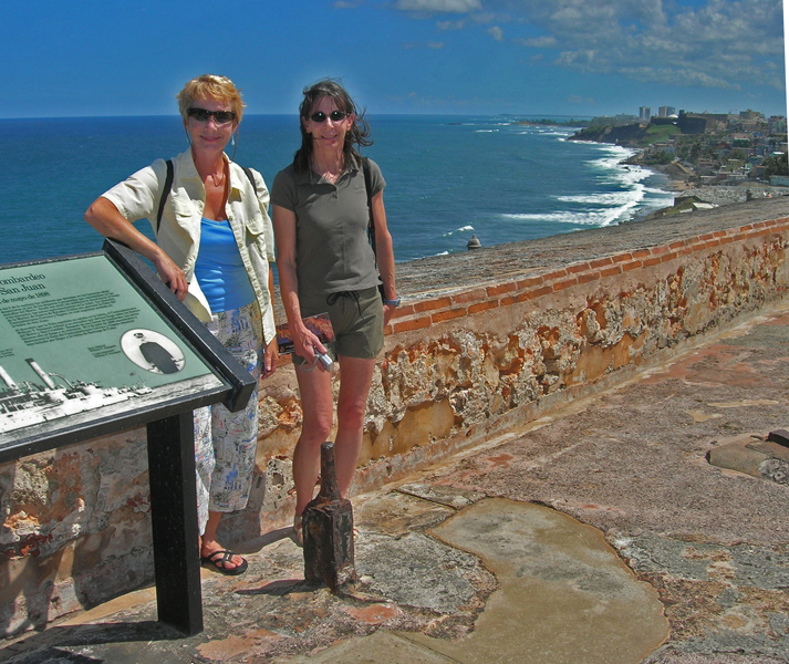
Barb and Monica in El Morro
|
|
|
|
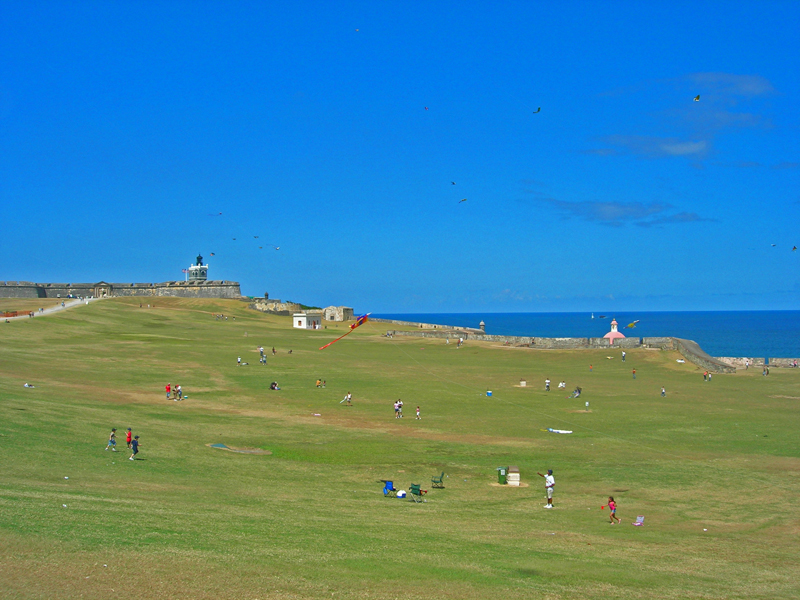
Kite flyers in grounds outside El Morro
|
|
|
|
El Morro
|
|

|
|
El Morro
|
|
|
|
Cuartel de Ballaja -- largest building by the Spanish in the New World
|
|
|
|

|
|
Statue in Old San Juan
|
|
|
|
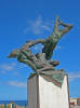
Another "interesting" statue in Old San Juan
|
|
|
|
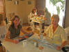
At lunch in San Juan
|
|
|
|
San Cristobal
|
|
|
|
"Well" above massive cistern in Fort San Cristobal
|
|
|
|
|
|
San Cristobal
|
|

|
|
San Cristobal
|
|

|
|
"Damned cruise ships!"
|
|

|
|
Looking down from San Cristobal
|
|
|
|
San Cristobal
|
|
|
|

|
|
* Fountain in Quincecentennial Plaza
|
|

|
|
Kids in fountain
|
|

|
|
* Saluting sunset in Salinas
|
|

|
|
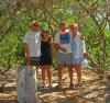
Monica and Chuck relaxing in Salinas
|
|

|
|
Polishing the deck rails
|
|
|
|

|
|
*Out exploring by dinghy
|
|
|
|
*Getting the dinghy down
|
|
|
|
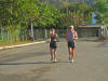
Monica and Chuck jogging in Puerto Pastillas
|
|
|
|
*Dolphins in pressure wave
|
|

|
|
Chuck and Monica prepare to explore mangrove islands
|
|
|
|
|
|
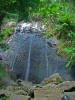
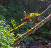
La Coca falls
|
|
|
|
On the road up to El Yunque
|
|
|
|
Path in El Yunque forest
|
|
|
|
Barb along one of the paths on El Yunque
|
|
|
|
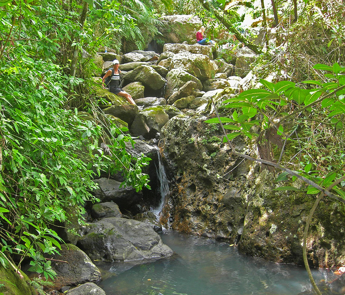
*Along one of the lush paths
|
|
|
|

|
|
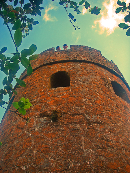
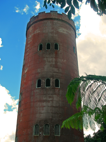
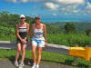
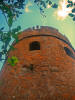
See the Mt. Britton tower way up there?
|
|
|
|
* Chuck and Barb in Mt. Britton Tower
|
|
|
|
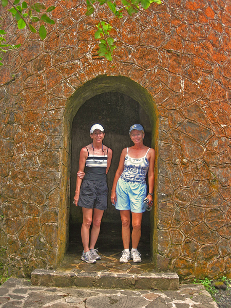
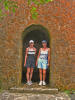
In the Mt. Britton Lookout Tower
|
|
|
|
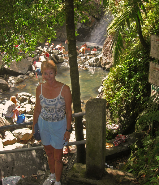
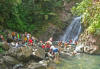
Barb above La Mina falls
|
|
|
|
La Mina falls
|
|
|
|

|
|
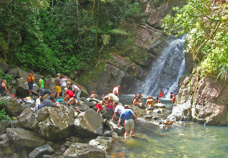
Chuck and Barb below La Mina falls
|
|
|
|
So lush in the forest
|
|
|
|
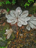
Large leaves had fallen to the forest floor
|
|
|
|
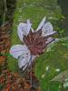
Another leaf -- note the quarter placed in the picture for scale
|
|
|
|
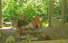
Lunch in one of the many shelters
|
|
|
|

|
|
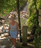
Monica along one of the quiet streams
|
|

|
|
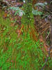
More greenery
|
|
|
|
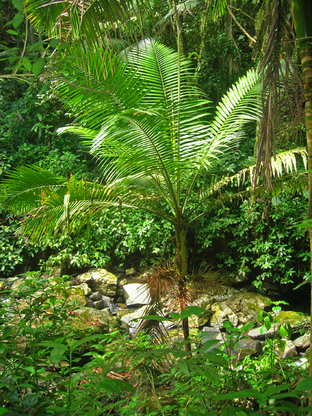
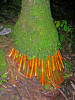
Roots growing out of the bottom of palm tree
|
|
|
|
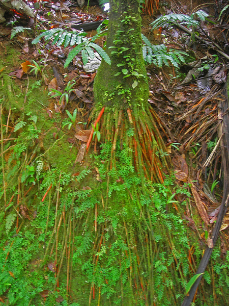
Another set of roots
|
|
|
|
*Yokahu tower
|
|
|
|

|
|
Yokahu tower
|
|

|
|
Chuck at the top of Yokahu tower
|
|
|
|
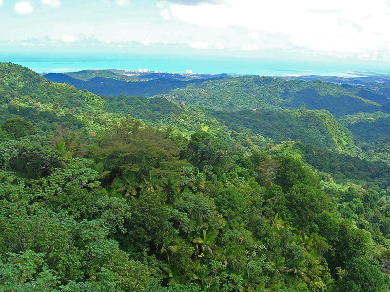
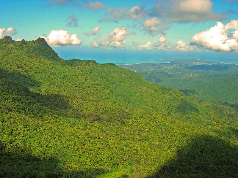
View from one of the towers
|
|
|
|
Another view from a tower
|
|

|
|
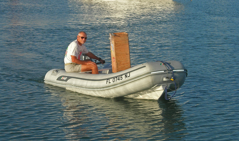
Bringing the flopper stoppers to TT II
|
|
|
|
|
|
Vieques Island -- former controversial site of Navy bombing range
|
|

|
|
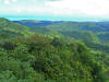
El Yunque from the SE
|
|
|
Flag courtesy of ITA's
Flags of All Countries used with permission.